Off-Road Trails in Utah
Discover off-road trails in Utah
Learn more about Horse Valley ATV Trail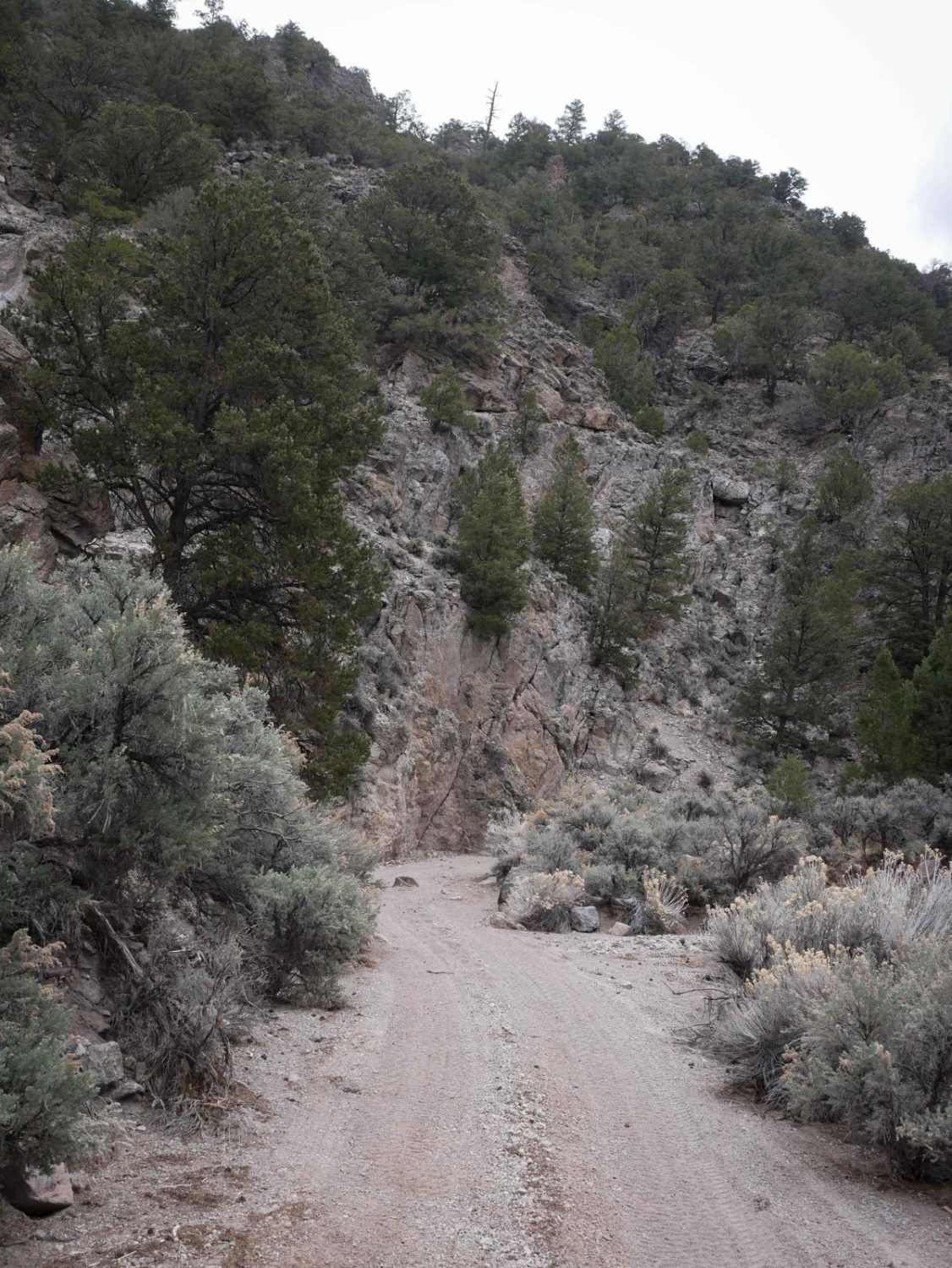
Horse Valley ATV Trail
Total Miles
4.2
Tech Rating
Easy
Best Time
Fall, Summer, Spring
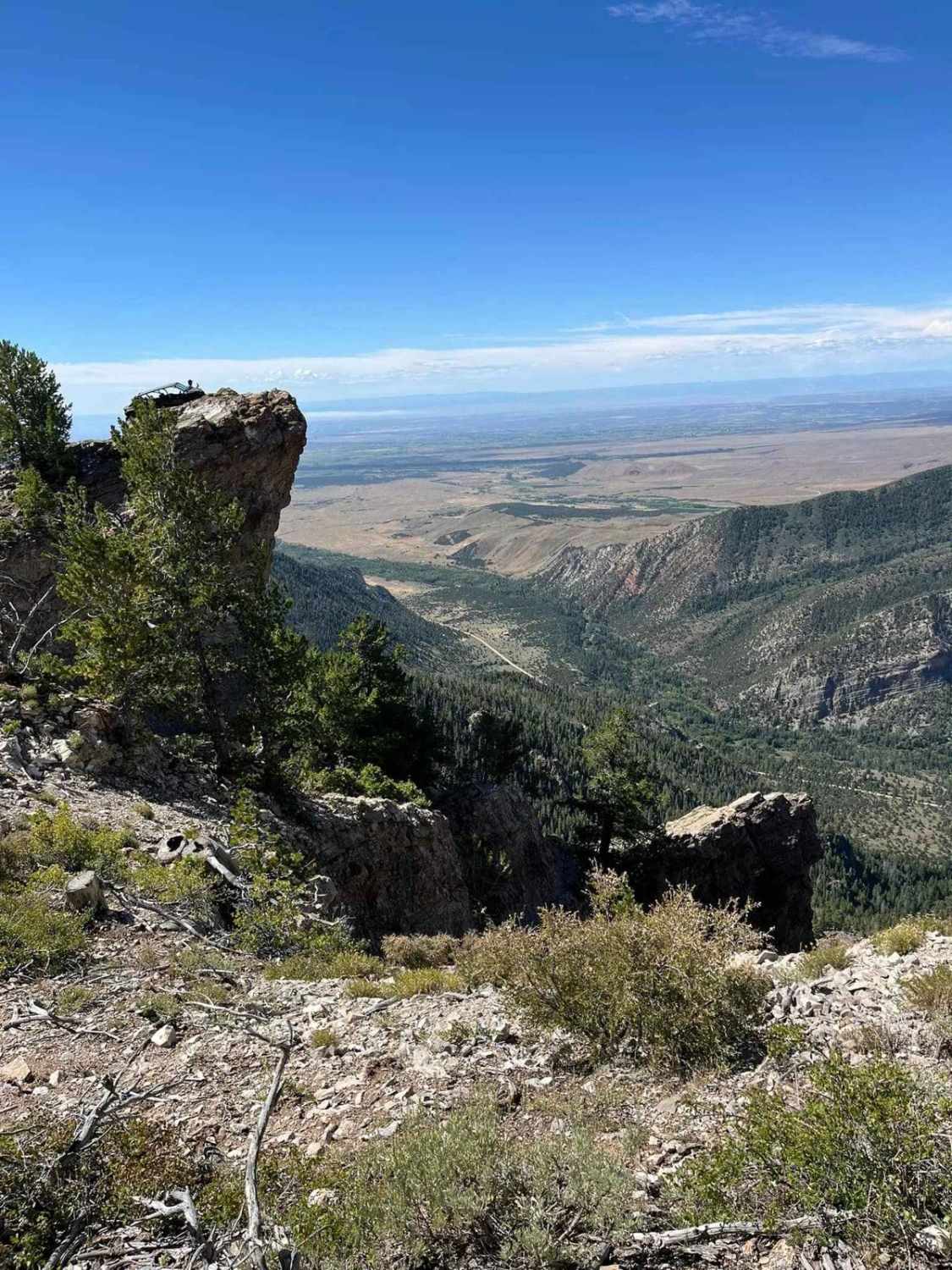
Learn more about Horseshoe Canyon
Horseshoe Canyon
Total Miles
5.8
Tech Rating
Easy
Best Time
Winter, Fall, Summer, Spring
Learn more about Horseshoe Way
Horseshoe Way
Total Miles
1.3
Tech Rating
Easy
Best Time
Fall, Summer, Spring
Learn more about Hoskinnini Road-BLM13500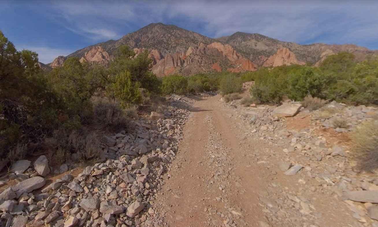
Hoskinnini Road-BLM13500
Total Miles
15.0
Tech Rating
Easy
Best Time
Spring, Summer, Fall, Winter
Learn more about Hot Spring Road-Beaver County 40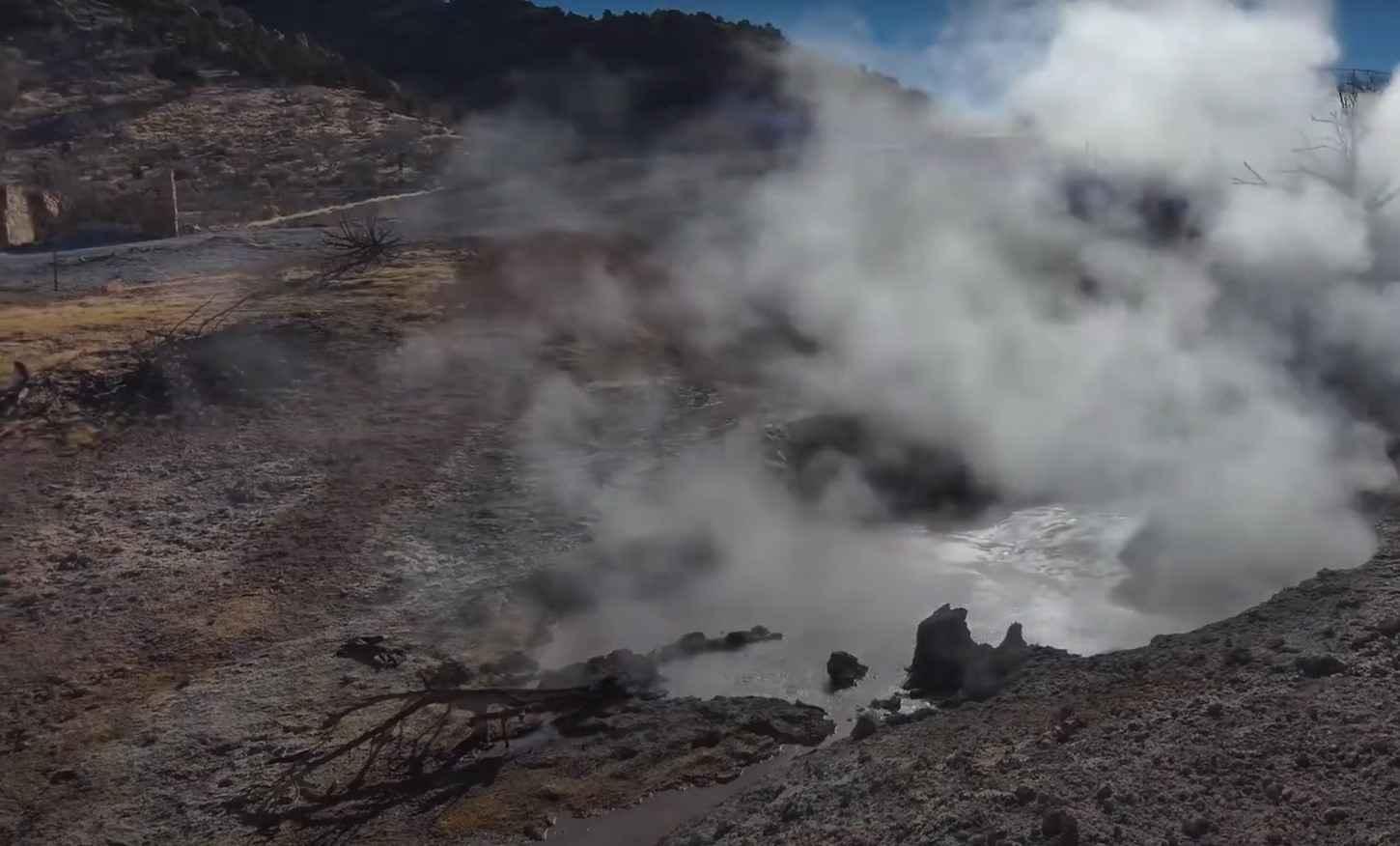
Hot Spring Road-Beaver County 40
Total Miles
5.7
Tech Rating
Easy
Best Time
Spring, Summer, Fall, Winter
Learn more about Hotel Rock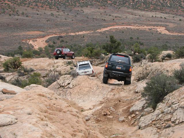
Hotel Rock
Total Miles
3.8
Tech Rating
Moderate
Best Time
Spring, Summer, Fall, Winter
Learn more about House Rock Valley Road North (Utah)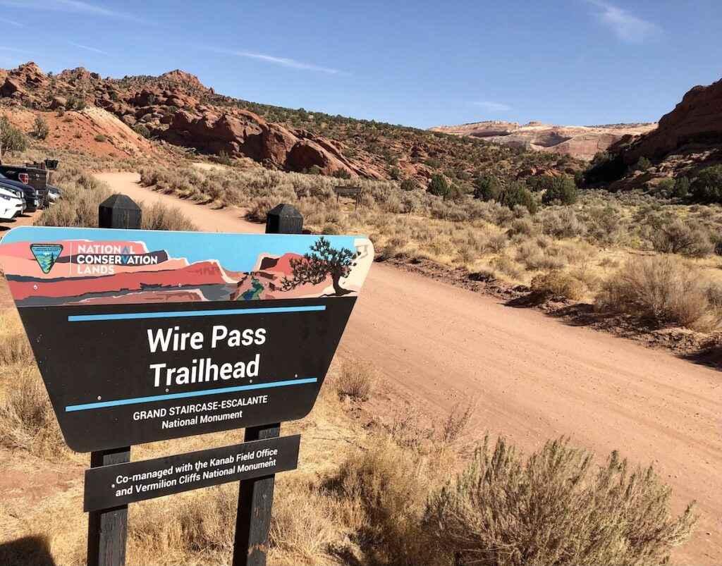
House Rock Valley Road North (Utah)
Total Miles
9.6
Tech Rating
Easy
Best Time
Spring, Fall, Winter

Learn more about Hoyt Saddle Trail
Hoyt Saddle Trail
Total Miles
0.5
Tech Rating
Easy
Best Time
Summer, Fall
Learn more about Humbug Overlook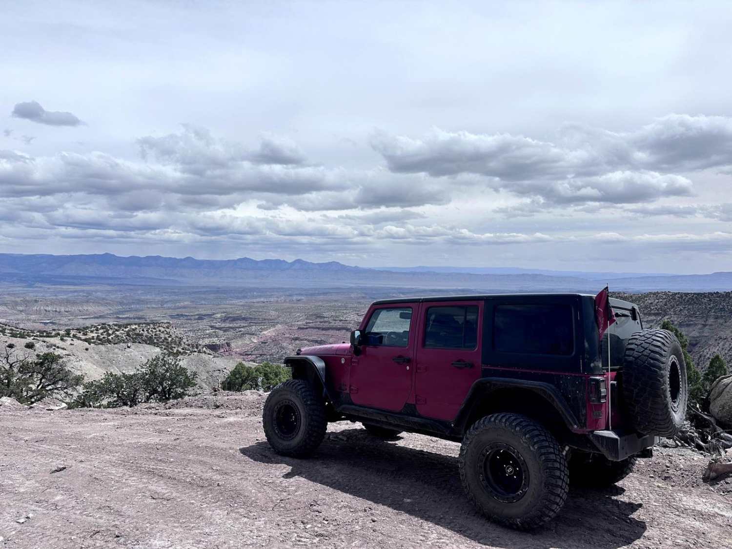
Humbug Overlook
Total Miles
27.9
Tech Rating
Easy
Best Time
Spring, Summer, Fall
Learn more about Hunter Canyon (via Behind the Rocks)
Hunter Canyon (via Behind the Rocks)
Total Miles
3.6
Tech Rating
Difficult
Best Time
Spring, Summer, Fall
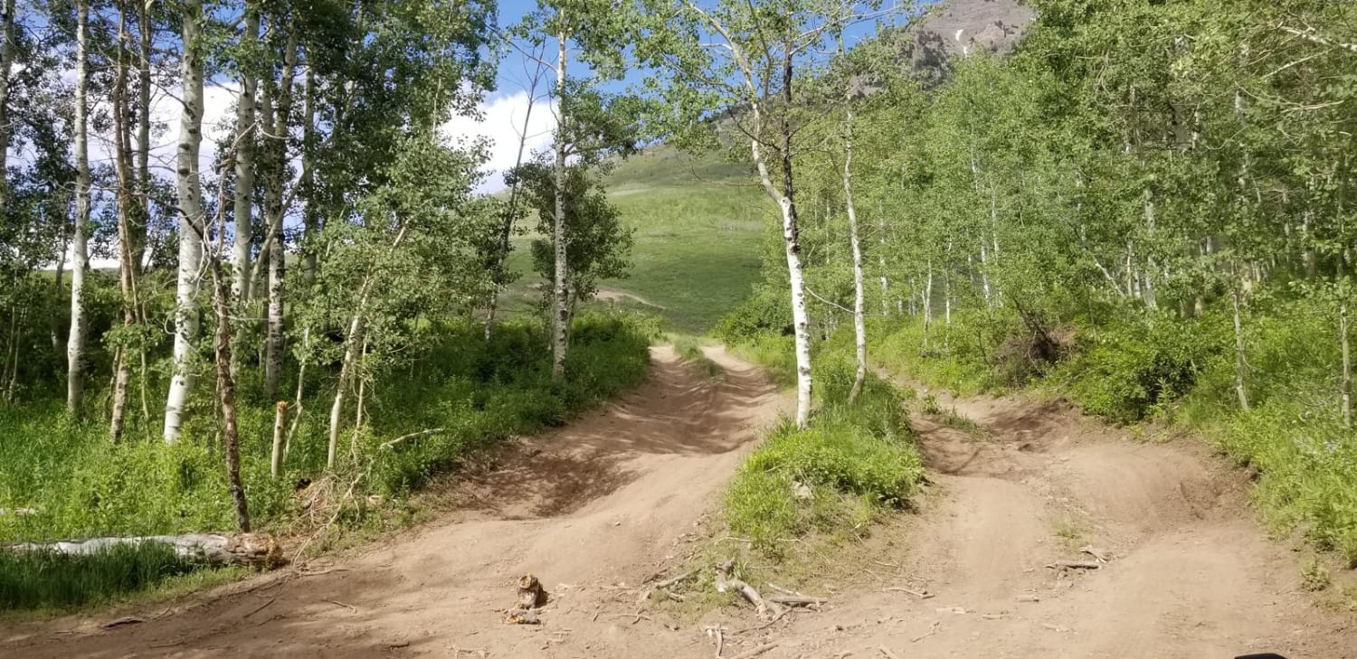
Learn more about Hunts Lakes Loop - FS 40075
Hunts Lakes Loop - FS 40075
Total Miles
1.3
Tech Rating
Easy
Best Time
Summer, Spring, Fall
Learn more about Hurricane Cliffs Trail
Hurricane Cliffs Trail
Total Miles
7.1
Tech Rating
Easy
Best Time
Spring, Summer, Fall
Learn more about Hyde Park Mine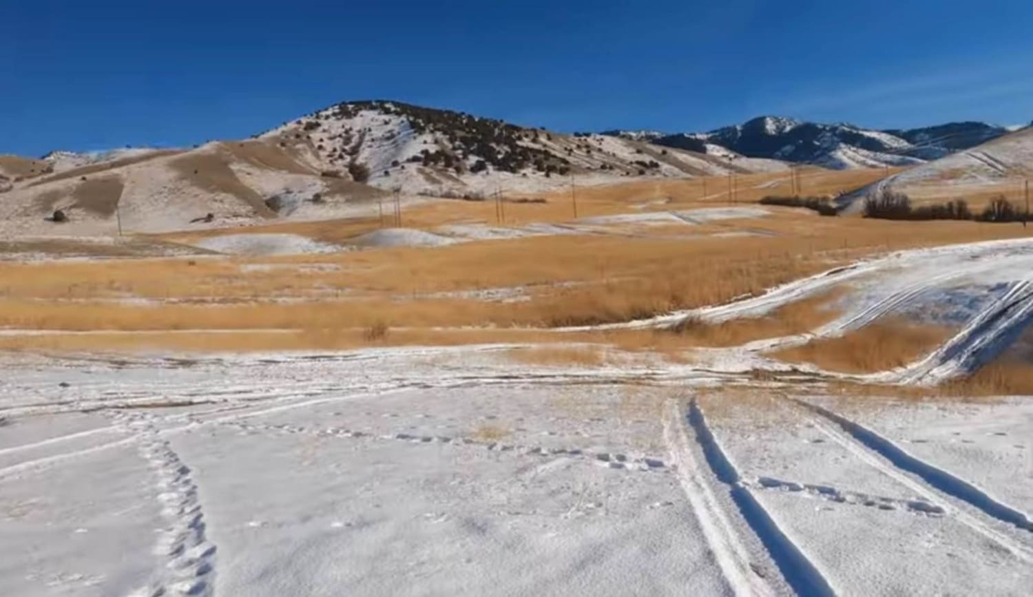
Hyde Park Mine
Total Miles
2.7
Tech Rating
Easy
Best Time
Spring, Summer, Fall, Winter
Learn more about Independence / East Standard Mine Loop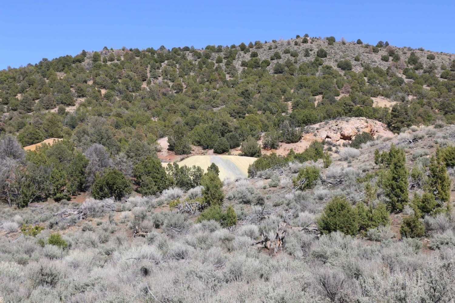
Independence / East Standard Mine Loop
Total Miles
4.0
Tech Rating
Moderate
Best Time
Spring, Summer, Fall
Learn more about Indian Creek to Willow Creek Ridge ATV 
Indian Creek to Willow Creek Ridge ATV
Total Miles
3.9
Tech Rating
Moderate
Best Time
Spring, Summer, Fall
Learn more about Indian Farm Creek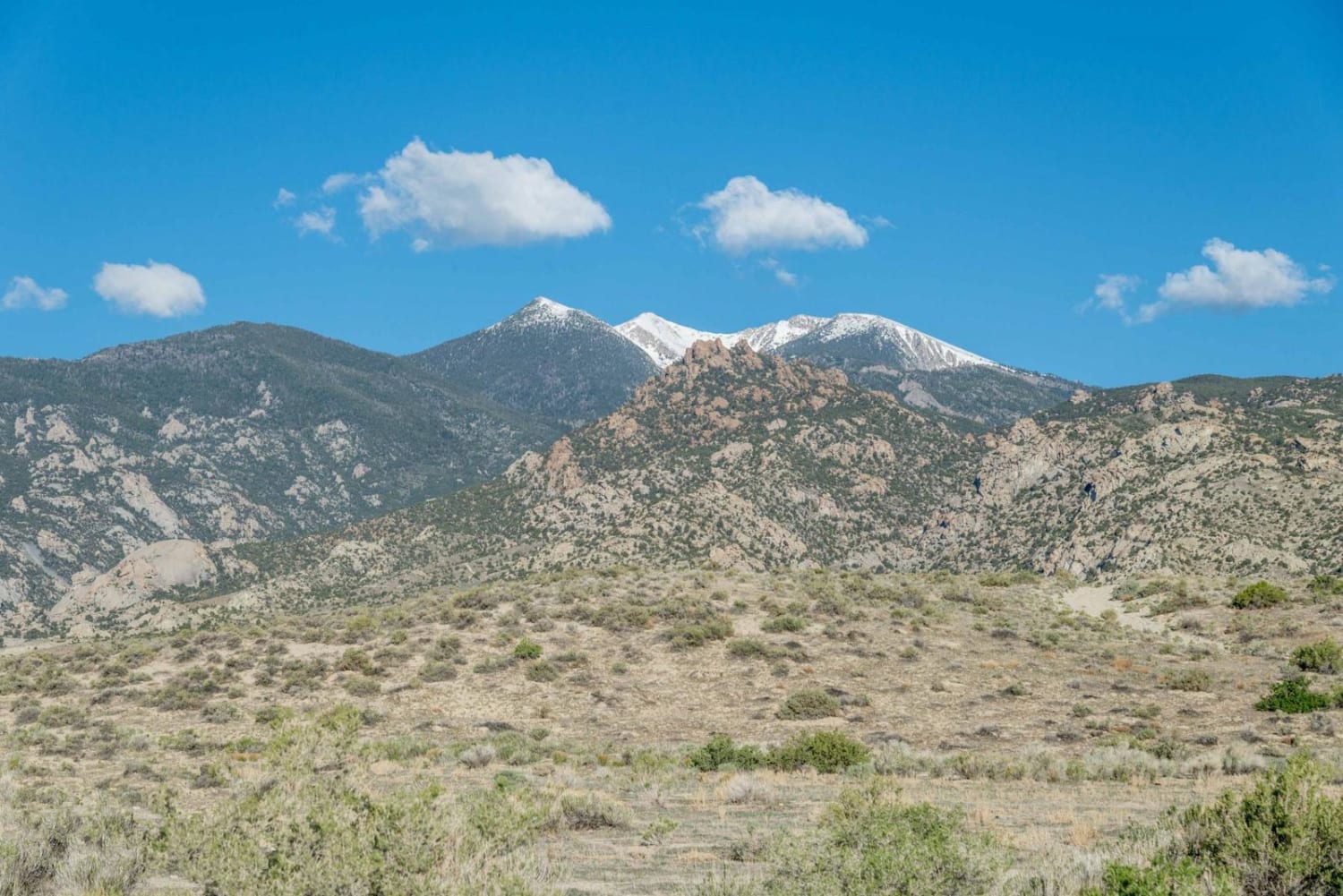
Indian Farm Creek
Total Miles
3.1
Tech Rating
Difficult
Best Time
Spring, Summer, Fall, Winter
ATV trails in Utah

Learn more about 14 Mile Road
14 Mile Road
Total Miles
14.7
Tech Rating
Easy
Best Time
Spring, Summer, Fall, Winter


UTV/side-by-side trails in Utah
Learn more about 14 Mile Road
14 Mile Road
Total Miles
14.7
Tech Rating
Easy
Best Time
Spring, Summer, Fall, Winter
The onX Offroad Difference
onX Offroad combines trail photos, descriptions, difficulty ratings, width restrictions, seasonality, and more in a user-friendly interface. Available on all devices, with offline access and full compatibility with CarPlay and Android Auto. Discover what you’re missing today!