Horse Valley ATV Trail
Total Miles
4.2
Technical Rating
Best Time
Fall, Summer, Spring
Trail Type
50" Trail
Accessible By
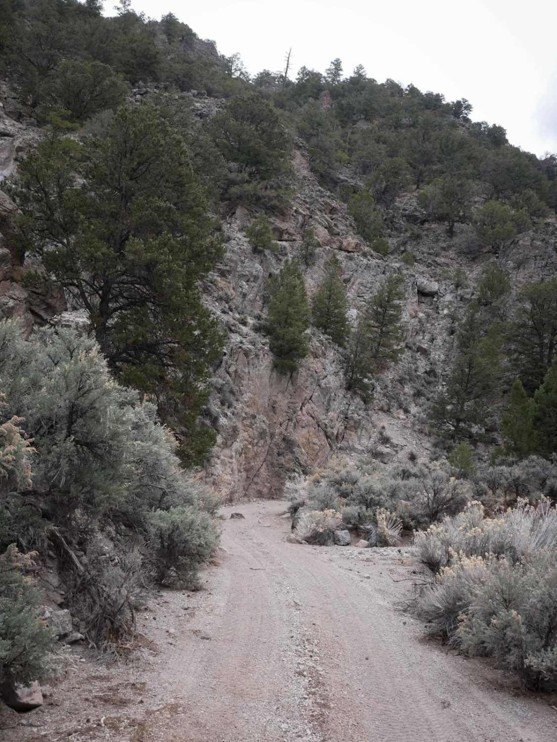
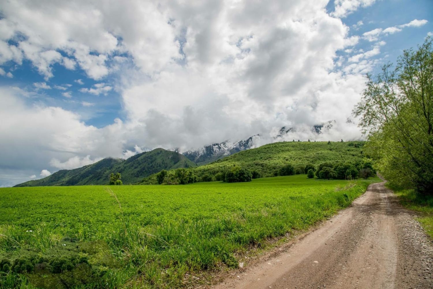
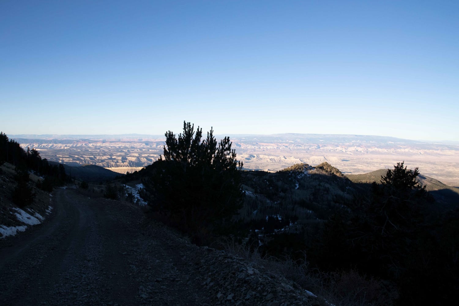
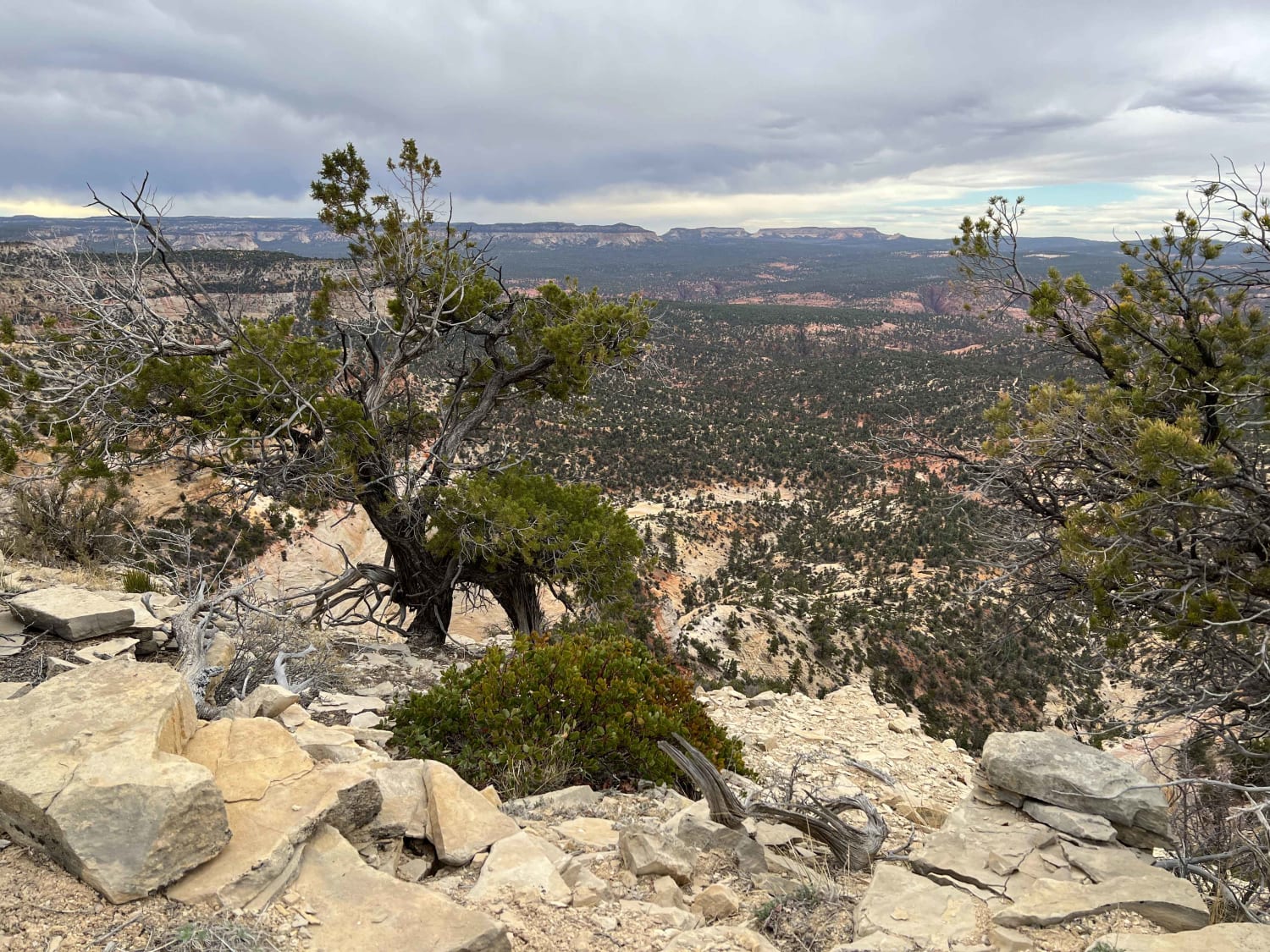
Trail Overview
The west end of this 4.3-mile ATV route starts at a cattle grate and trail sign and continues to curve through a gravelly ravine between sagebrush fields with great views of the mountains. As it gets closer to the mountains, you get some pretty scenery, continuing in the wash. It becomes a bit rockier and curvier next to tall dirt bluffs, with many quick curves between the trees. There are some big rollers in the trail that you'll catch air on if going too fast. This trail is tighter between the bushes, with more small rocks, and has a couple of hill climbs steeper with loose stones. Hill climbs should still be easy for most average riders, but they are the most challenging part of the trail. It cuts across a hillside as it nears the ridge line and end of the trail. This trail is slightly more complicated than Bull Rush.
Photos of Horse Valley ATV Trail

Difficulty
This trail has small hill climbs that are steep with loose rock, but should still be easy for the average trail user.
Status Reports
Horse Valley ATV Trail can be accessed by the following ride types:
- ATV (50")
- Dirt Bike
Horse Valley ATV Trail Map
Popular Trails

Pink Cliffs Alternate Trail
Maple Bench Road
Bull Creek Pass Road
Poverty Gulch Overlook
The onX Offroad Difference
onX Offroad combines trail photos, descriptions, difficulty ratings, width restrictions, seasonality, and more in a user-friendly interface. Available on all devices, with offline access and full compatibility with CarPlay and Android Auto. Discover what you’re missing today!