Maple Bench Road
Total Miles
3.6
Technical Rating
Best Time
Spring, Summer, Fall, Winter
Trail Type
Full-Width Road
Accessible By
Trail Overview
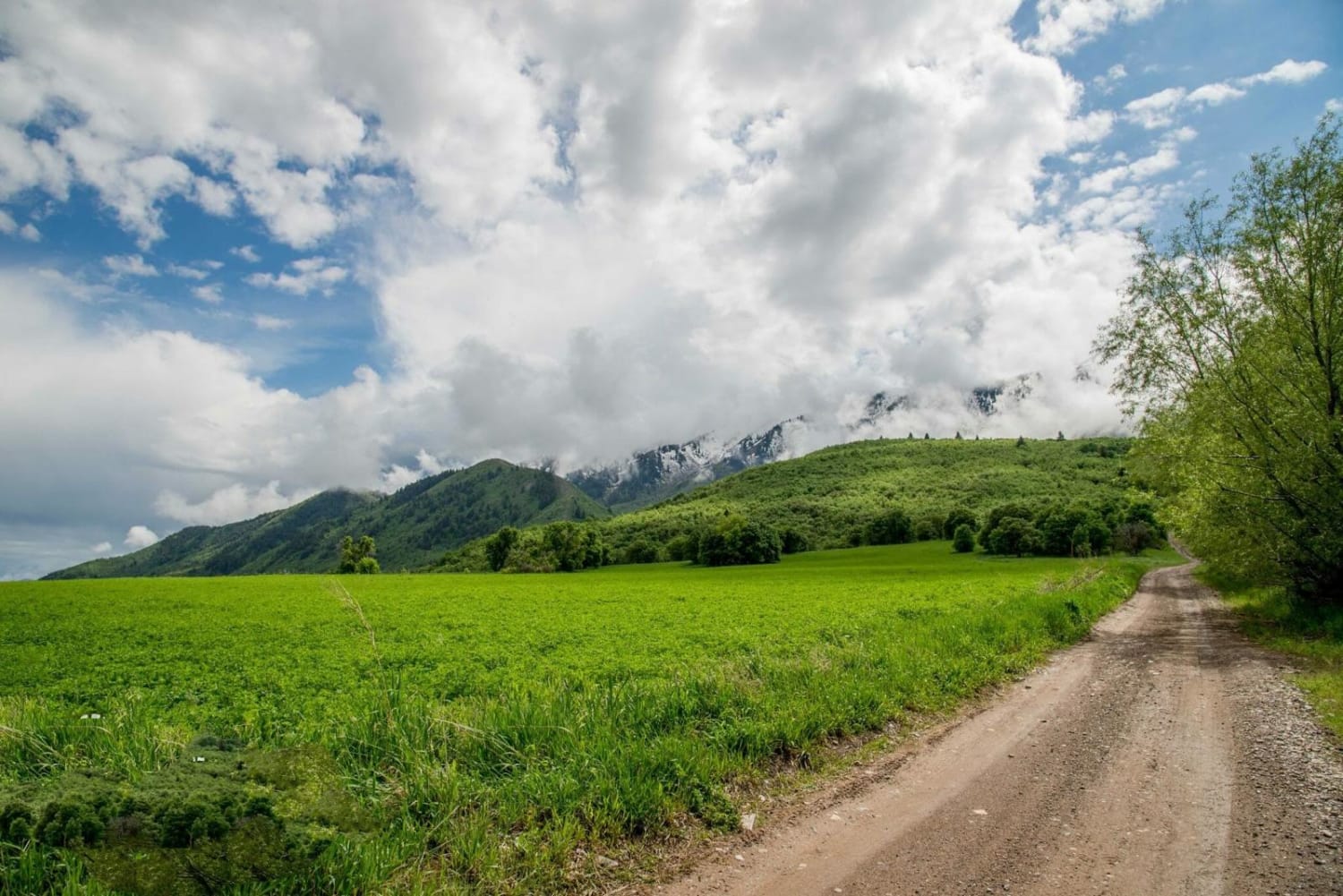
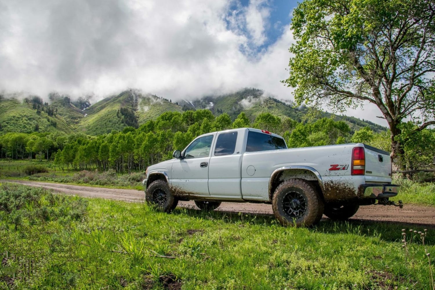
Maple Bench Road is a long road that penetrates into the Wellsville Mountains until it meets the wilderness boundary. It is most often used to reach the wilderness trailhead that takes you over Stewart Pass and along the ridge of this great mountain range. It's a fun, quick evening trip to get out and see the pretty scenery and relax with a nice campfire.
Photos of Maple Bench Road
Status Reports
Maple Bench Road can be accessed by the following ride types:
- High-Clearance 4x4
- SUV
- SxS (60")
- ATV (50")
- Dirt Bike
Maple Bench Road Map
Popular Trails

The Spur Overlook

Great Western Trail - Pine Lake to Torrey, Utah

Long Valley Foothills

Chimney Rock Wash
The onX Offroad Difference
onX Offroad combines trail photos, descriptions, difficulty ratings, width restrictions, seasonality, and more in a user-friendly interface. Available on all devices, with offline access and full compatibility with CarPlay and Android Auto. Discover what you’re missing today!

