House Rock Valley Road North (Utah)
Total Miles
9.6
Technical Rating
Best Time
Spring, Fall, Winter
Trail Type
Full-Width Road
Accessible By
Trail Overview
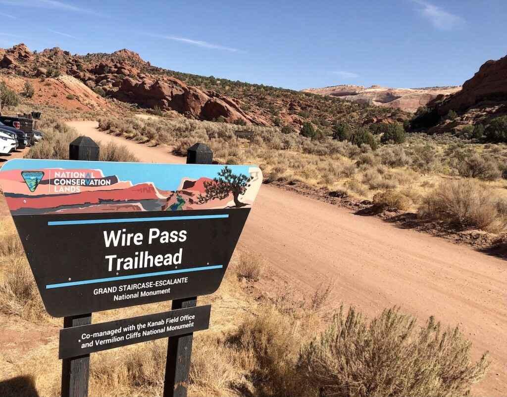
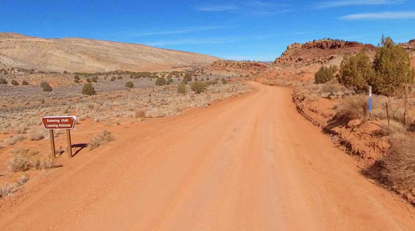
House Rock Valley Road North (Utah) is a 9.7-mile point-to-point trail rated 2 of 10 located in Kane County, Utah. The road is restricted to street-legal vehicles. This, along with the 20-mile stretch on the Arizona side of the border, makes up the western boundary of the Paria Canyon-Vermillion Cliffs Wilderness and Vermillion Cliffs National Monument. This section of the road extends from Highway 89 in the north to the Arizona state line. Coming from the north, the first 3 miles cross open BLM lands both east and west. Continuing on, the eastern side becomes the edge of the Paria Canyon-Vermillion Cliffs Wilderness (no motorized travel in the wilderness). Roughly 5 miles south of Highway 89 is the trailhead parking for Buckskin Gulch. Continuing south another 3.5 miles leads to the Wire Pass trailhead parking area. There are two attractions found from this parking area. The first is the hike into Wire Pass which leads to Buckskin Gulch slot canyon ($6/person or dog day-use). Wire Pass is most popularly hiked as a day hike. Wire Pass is also often used as a beginning or end point for overnight trips through Buckskin Gulch and Paria Canyon. Overnight trips require a Paria Canyon Overnight Permit. The second is the hike into Coyote Buttes to see the "The Wave" area (special permit required). Permits are garnered through a lottery system as the number of people entering Coyote Buttes daily is restricted. Cell phone service is intermittent. The nearest services are in Kanab to the west or Big Water to the east, both along Highway 89.
Photos of House Rock Valley Road North (Utah)
Difficulty
This is a county dirt road with infrequent or light maintenance after rain or snow. High-clearance, light-duty 4WD may be required.
Status Reports
House Rock Valley Road North (Utah) can be accessed by the following ride types:
- High-Clearance 4x4
- SUV
House Rock Valley Road North (Utah) Map
Popular Trails
Paunsaugunt ATV Trail North
Dry Bread Camp Area - FS 20116

Little Lost Creek South- FS 40052
The onX Offroad Difference
onX Offroad combines trail photos, descriptions, difficulty ratings, width restrictions, seasonality, and more in a user-friendly interface. Available on all devices, with offline access and full compatibility with CarPlay and Android Auto. Discover what you’re missing today!
