Trail Overview
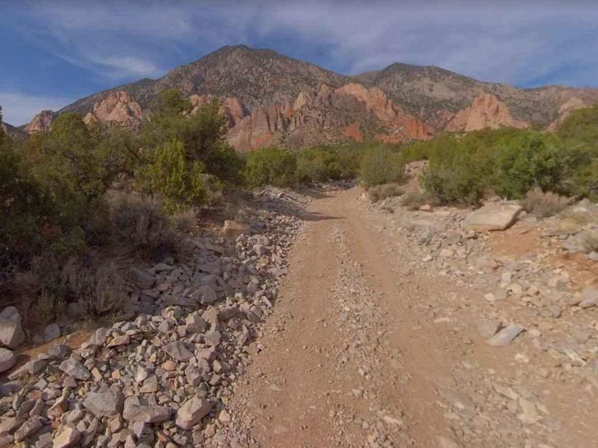
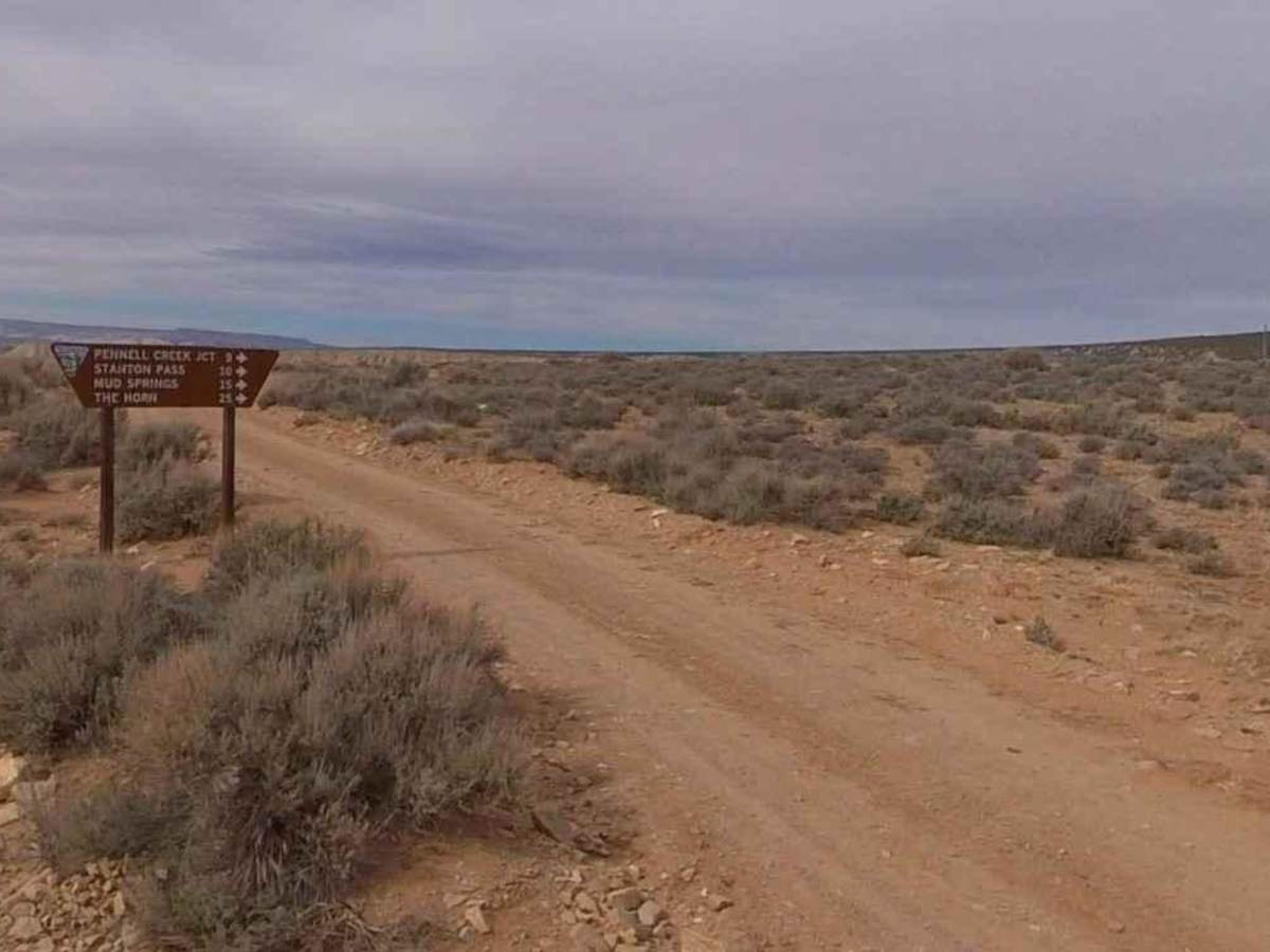
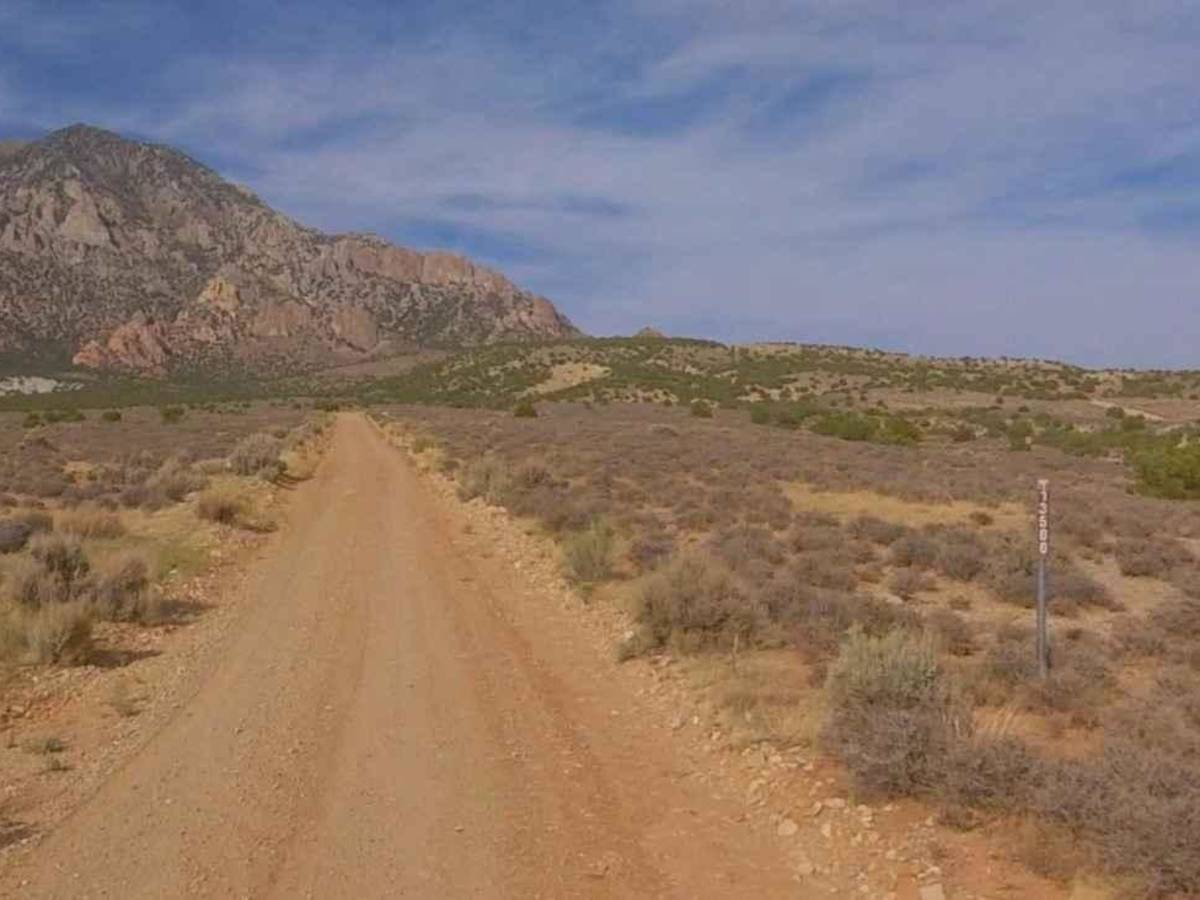
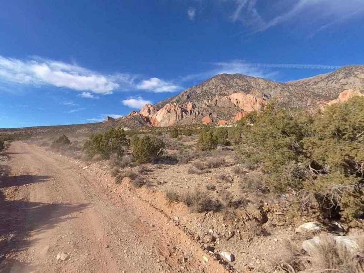
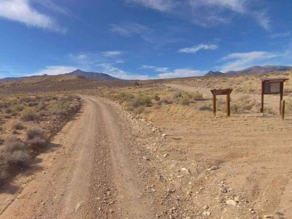
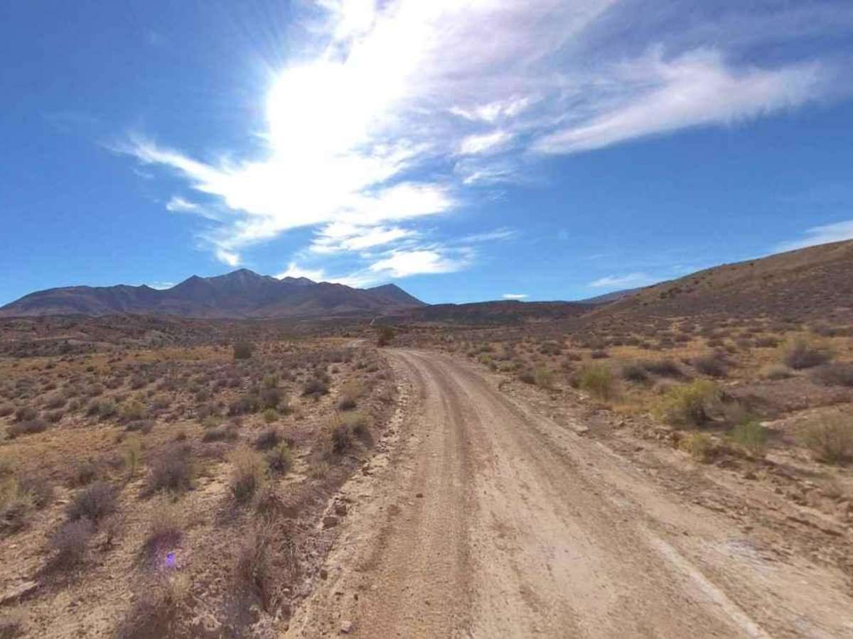
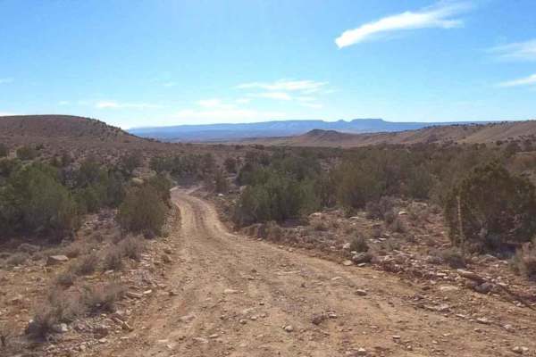
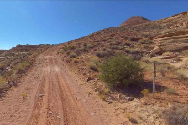
Hoskinnini Road-BLM13500 is a 14.9-mile point-to-point trail rated 2 of 10 located in Garfield County, Utah on the southern side of the Henry Mountains. Hoskinnini Road is a major access road into the heart of the Henry Mountains starting on the south side of Mount Hillers eventually wrapping around the western side and heading north into the depths of the Henry Mountains. The road is generally well maintained by the BLM. Much of the road is single-vehicle width but there is plenty of room to pass oncoming traffic. Traveling the road from south to north it passes some of the highest peaks in the range including Mount Heller at 10,689 feet and Coss Creek Peak at 9,360 feet. The north end of Hoskinnini Road intersects with Trachyte Ranch Road the southern portion of the Bull Creek Pass Back Country Byway. There are several side trails to explore to include Bulldog Peak and Bastian Reservoir. This is a popular off-road and ATV trail as it is close to the Start Spring Campground and by using several of the other trails created a nice 50-mile loop around the southern mountains. The terrain is managed by the Bureau of Land Management (BLM), but you will rarely see patrolling officials or other explorers in the area. The most common forms of life found in the Henry Mountains are various types of wildlife including Mule Deer, Bison, and Mountain Lions. The current population of bison in the Henry Mountains ranges between 250 and 400 animals. The best time to visit the Henry Mountains is in the summer or fall. The weather is generally mild during these seasons, and there are plenty of activities to keep you busy. Cell phone service is intermittent to non-existent and the nearest services are in Hanksville to the north. There are several gas stations along Highway 276 between the Bullfrog Marina and Hanksville.