Cedar Mountain West
Total Miles
20.8
Technical Rating
Best Time
Spring, Summer, Fall, Winter
Trail Type
Full-Width Road
Accessible By
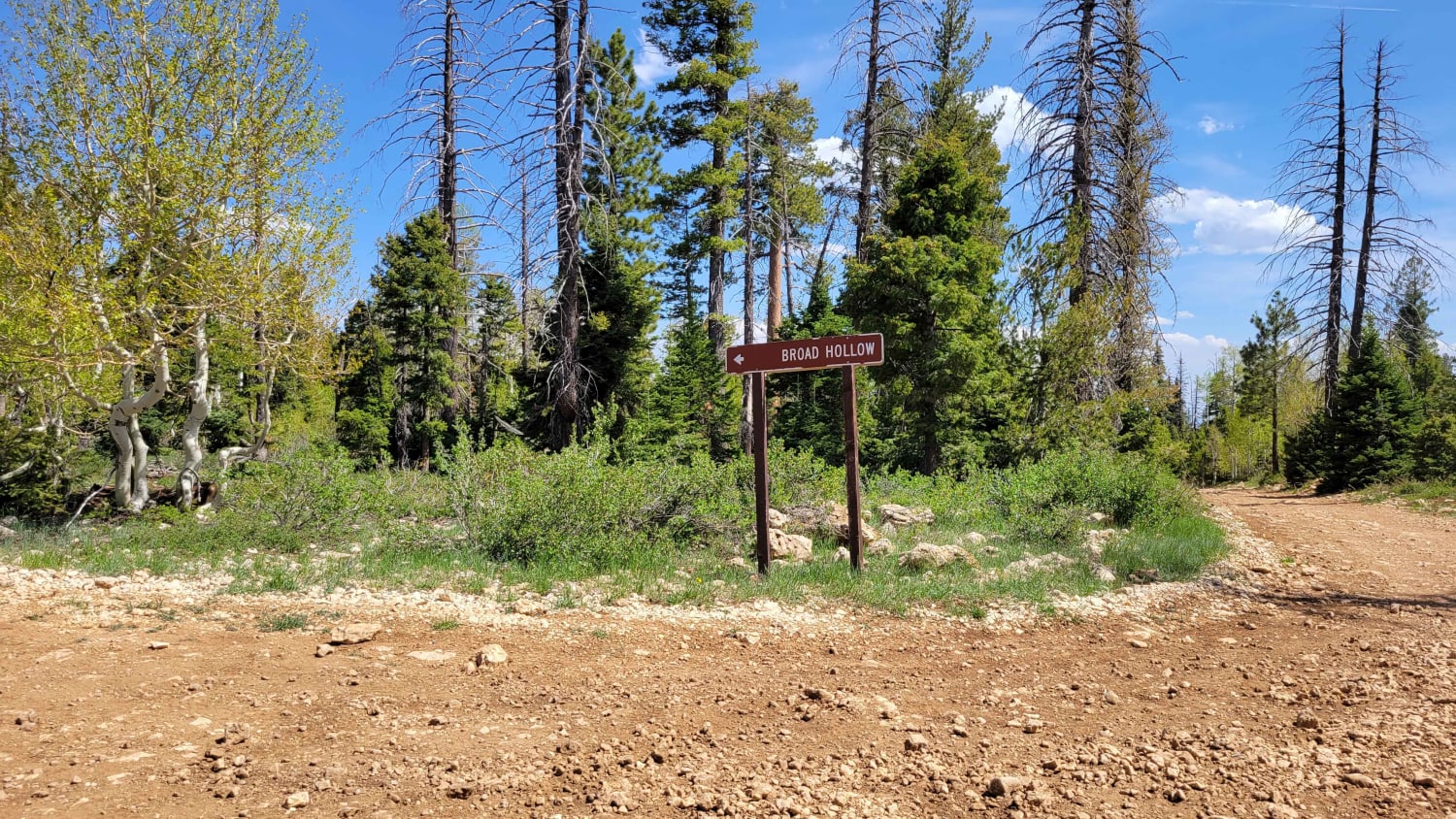
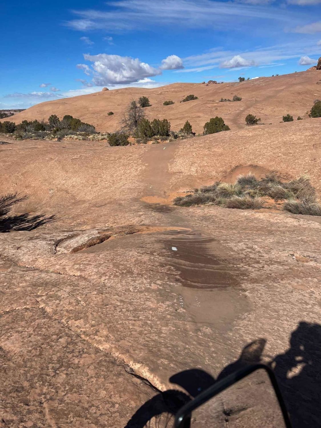
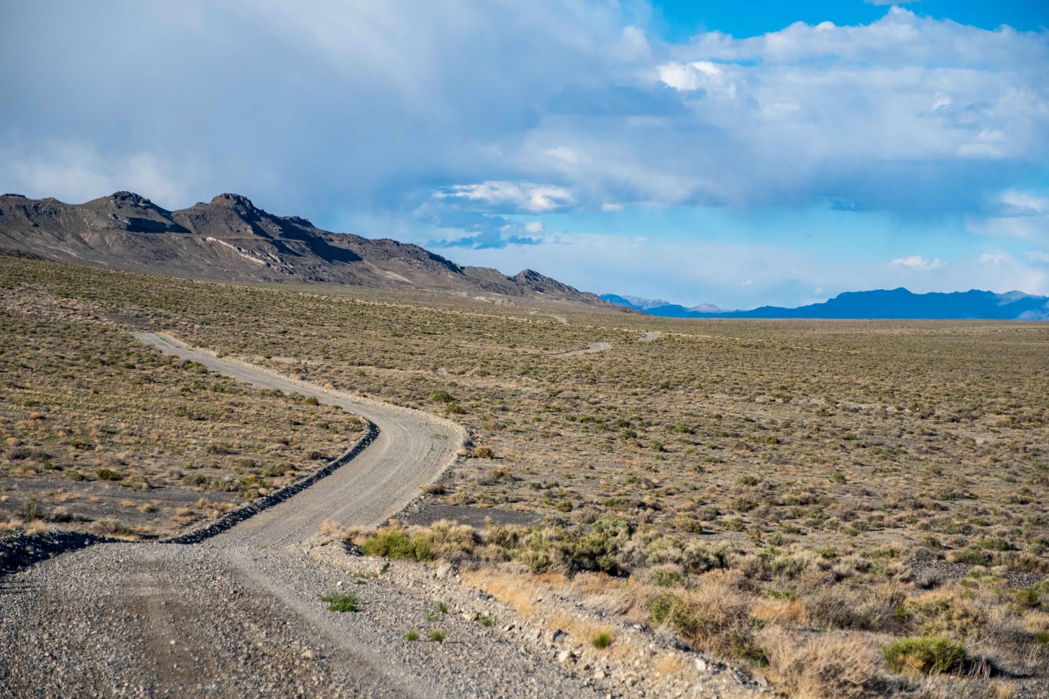
Trail Overview
The Cedar Mountain West Trail wraps around the western edge of the Cedar Mountain Wilderness, offering scenic views and a peaceful drive. The well-maintained dirt road is accessible for nearly all vehicles in dry weather, though it may become slick or muddy during storms or snow. Wildlife is abundant, and countless side trails invite further exploration.
Photos of Cedar Mountain West


Difficulty
Rough, narrow road with minor obstacles and water crossings; conditions worsen after rain or snow.
Status Reports
Cedar Mountain West can be accessed by the following ride types:
- High-Clearance 4x4
- SUV
- SxS (60")
- ATV (50")
- Dirt Bike
Cedar Mountain West Map
Popular Trails
Slickrock Trail Practice Loop

Judd Hollow Spring
Silver Island Mountains Backcountry Byway
The onX Offroad Difference
onX Offroad combines trail photos, descriptions, difficulty ratings, width restrictions, seasonality, and more in a user-friendly interface. Available on all devices, with offline access and full compatibility with CarPlay and Android Auto. Discover what you’re missing today!