Off-Road Trails in Utah
Discover off-road trails in Utah
Learn more about Indian feather loop
Indian feather loop
Total Miles
3.6
Tech Rating
Moderate
Best Time
Spring, Summer, Fall, Winter
Learn more about Indian Peak Trail - FS 40180 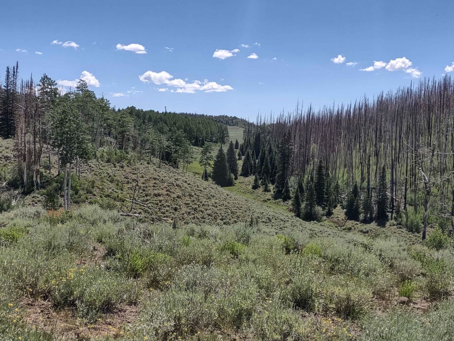
Indian Peak Trail - FS 40180
Total Miles
1.2
Tech Rating
Easy
Best Time
Spring, Summer, Fall
Learn more about Indian Springs - FS 70501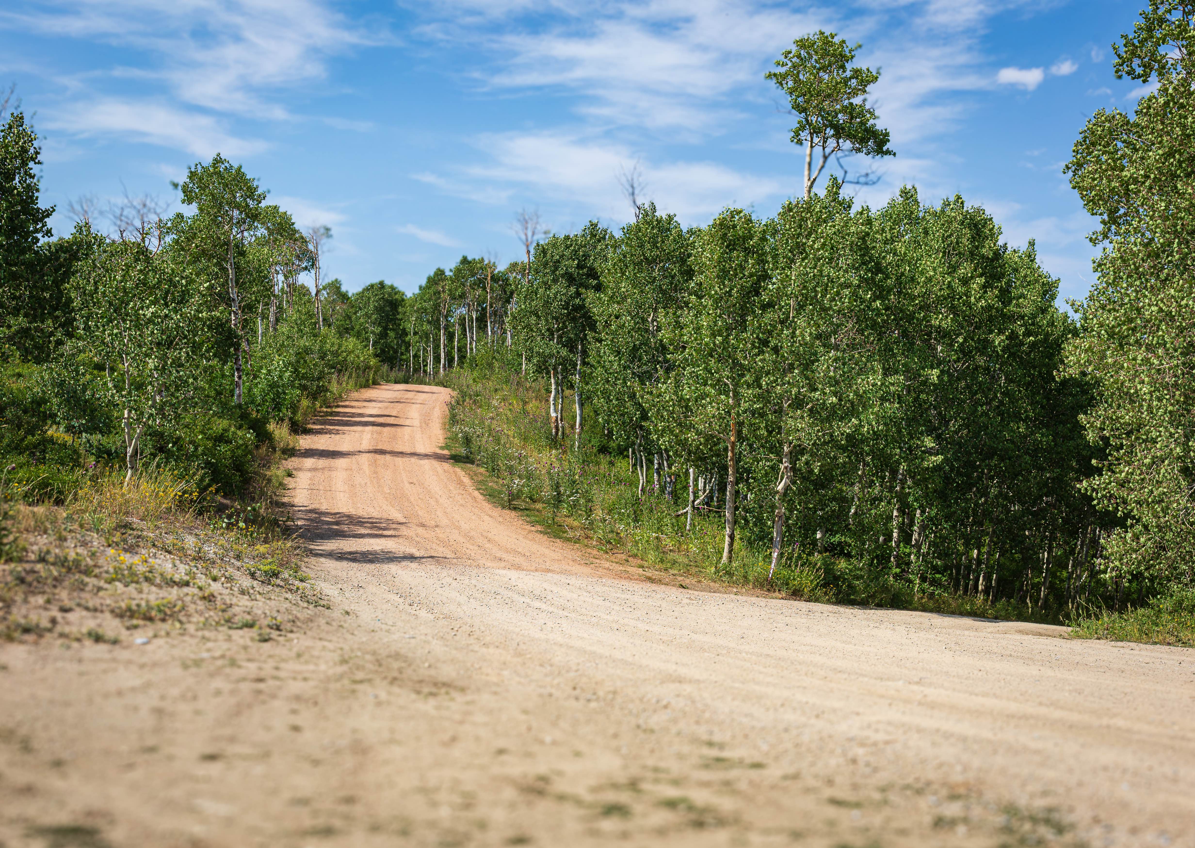
Indian Springs - FS 70501
Total Miles
1.9
Tech Rating
Easy
Best Time
Summer, Fall
Learn more about Inspiration Point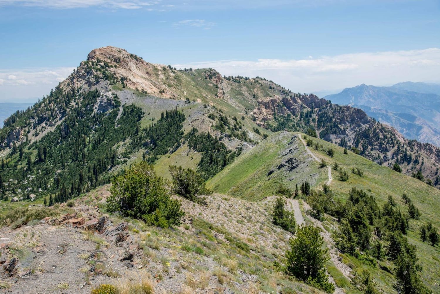
Inspiration Point
Total Miles
13.6
Tech Rating
Easy
Best Time
Spring, Summer, Fall, Winter
Learn more about Inspiration Point - FS 20126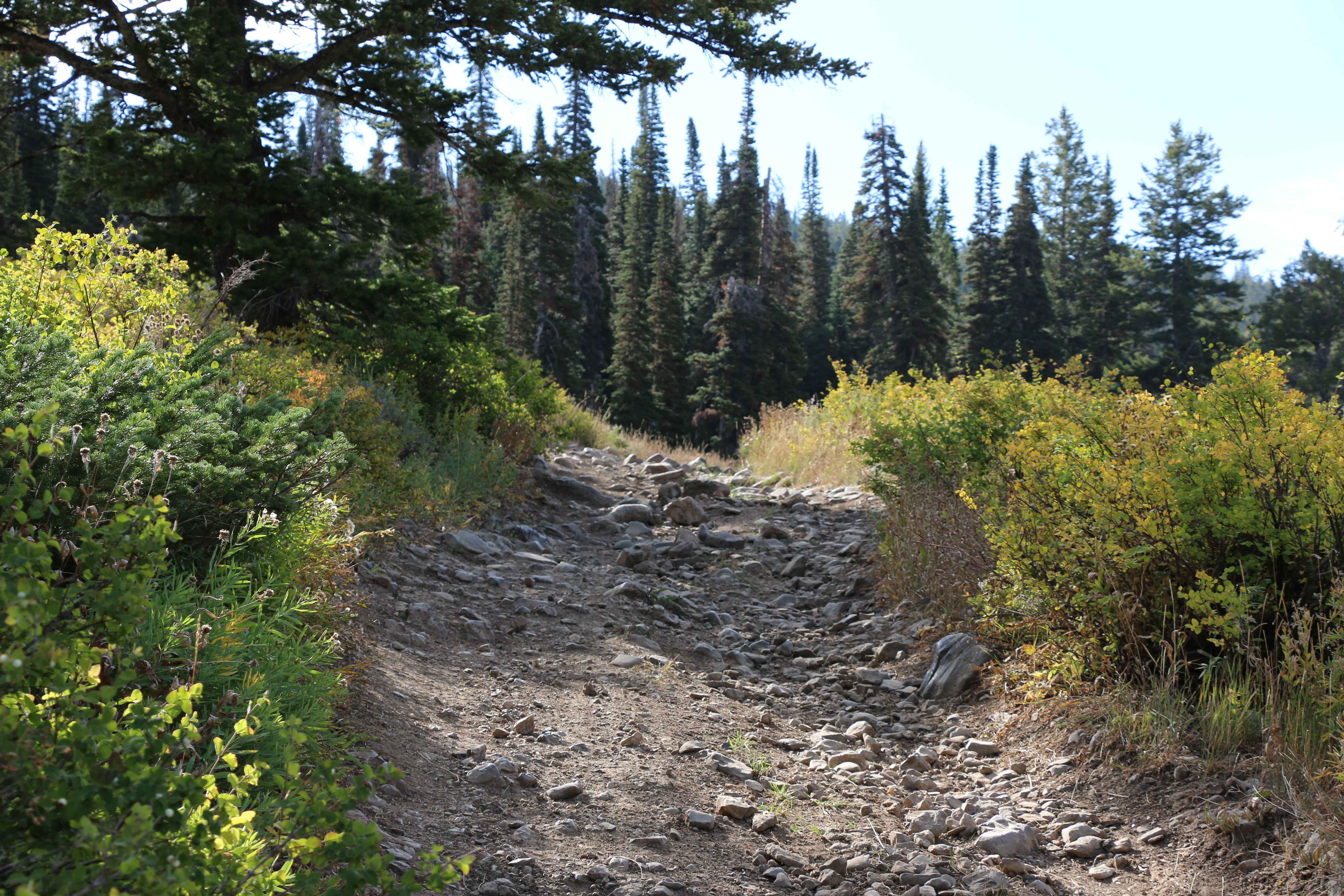
Inspiration Point - FS 20126
Total Miles
1.4
Tech Rating
Moderate
Best Time
Spring, Summer, Fall
Learn more about Interconnect Spur (FS 41186, 42468)
Interconnect Spur (FS 41186, 42468)
Total Miles
1.2
Tech Rating
Easy
Best Time
Spring, Summer, Fall
Learn more about Interstate 80 Overlook
Interstate 80 Overlook
Total Miles
1.2
Tech Rating
Easy
Best Time
Summer, Fall, Spring
Learn more about Interstate Sprint
Interstate Sprint
Total Miles
4.2
Tech Rating
Easy
Best Time
Spring, Summer, Fall, Winter
Learn more about Iron Mine Approach
Iron Mine Approach
Total Miles
2.5
Tech Rating
Easy
Best Time
Spring, Summer, Fall
Learn more about Iron Mine Road 80414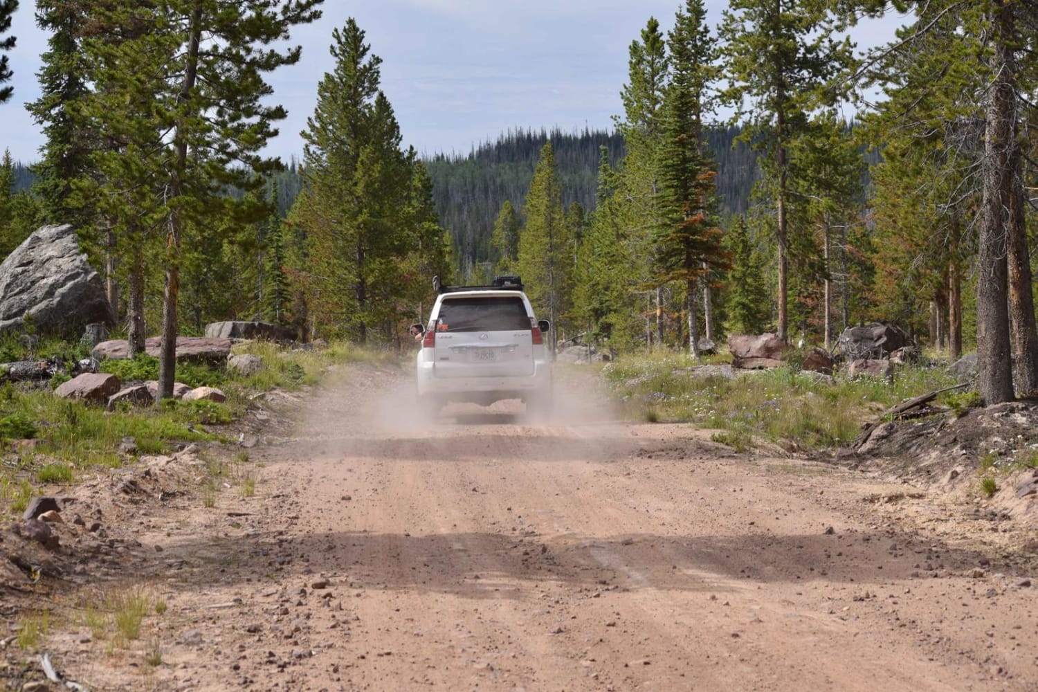
Iron Mine Road 80414
Total Miles
6.0
Tech Rating
Easy
Best Time
Summer, Fall
Learn more about Israel Canyon Lake Mountain Skyline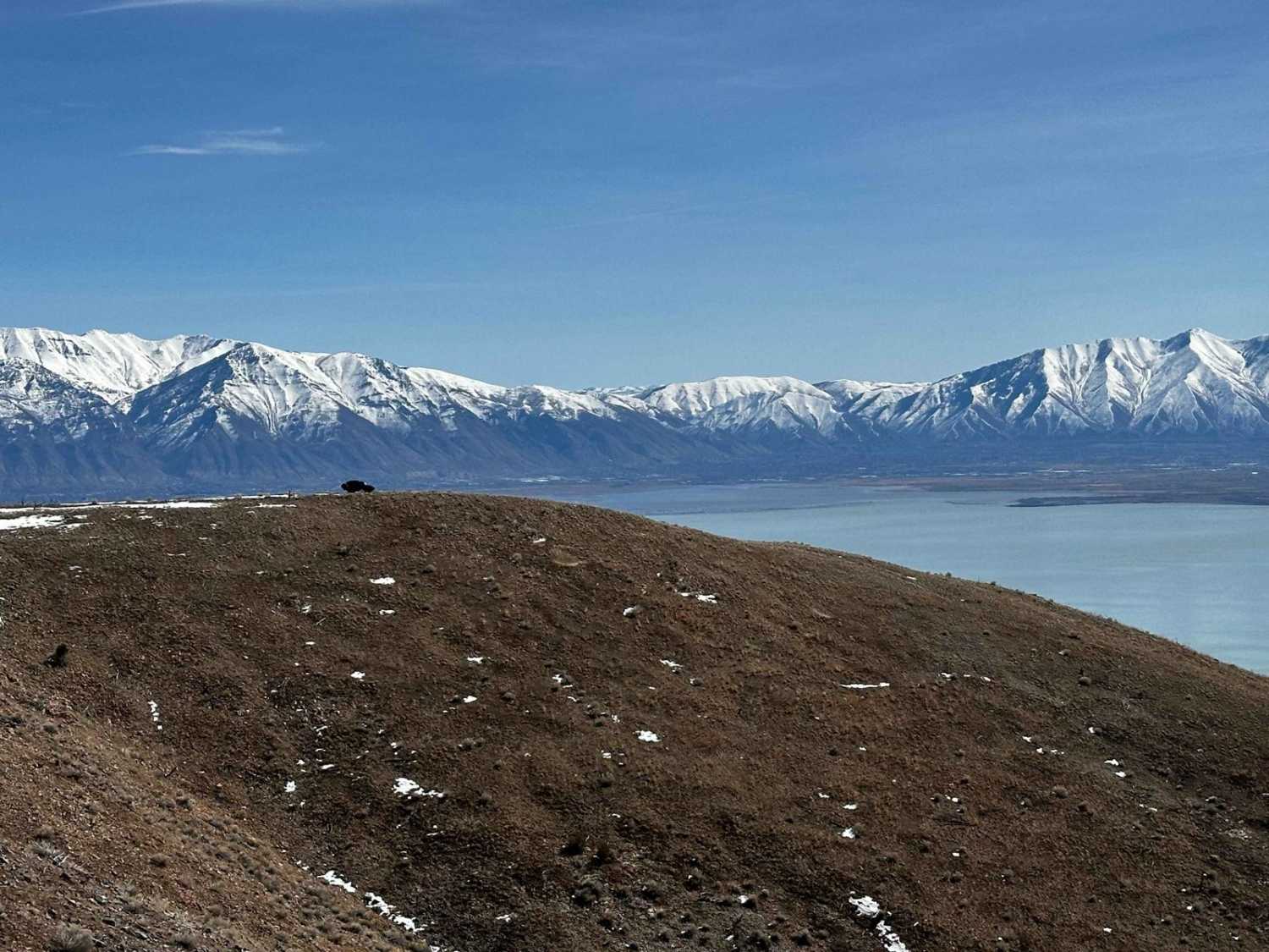
Israel Canyon Lake Mountain Skyline
Total Miles
8.0
Tech Rating
Moderate
Best Time
Summer, Fall
Learn more about Israel Canyon Lake Mountains Pass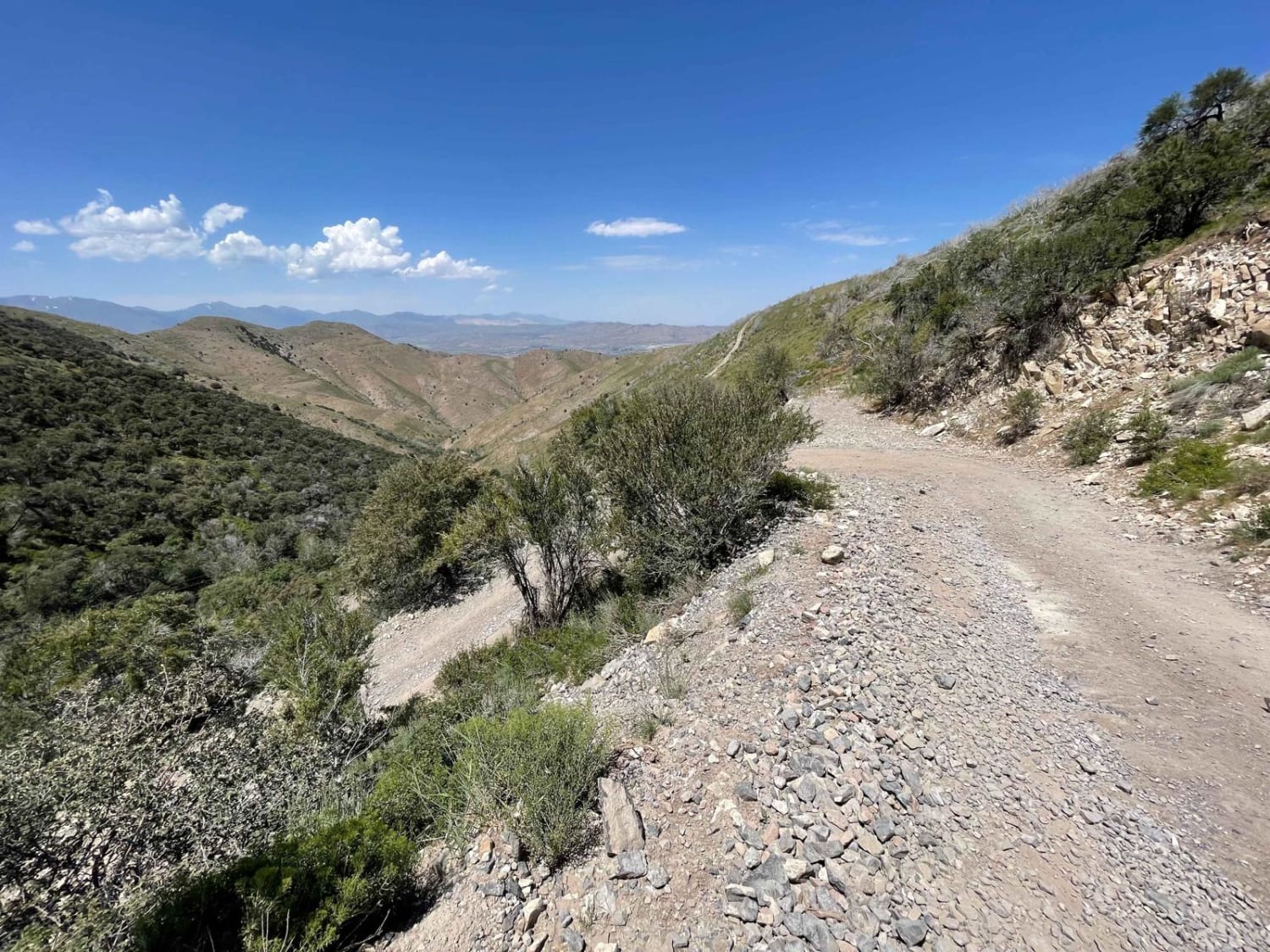
Israel Canyon Lake Mountains Pass
Total Miles
9.7
Tech Rating
Moderate
Best Time
Summer, Fall
Learn more about Jack Rabbit Ranch
Jack Rabbit Ranch
Total Miles
21.5
Tech Rating
Easy
Best Time
Spring, Summer, Fall
Learn more about Jackson Hole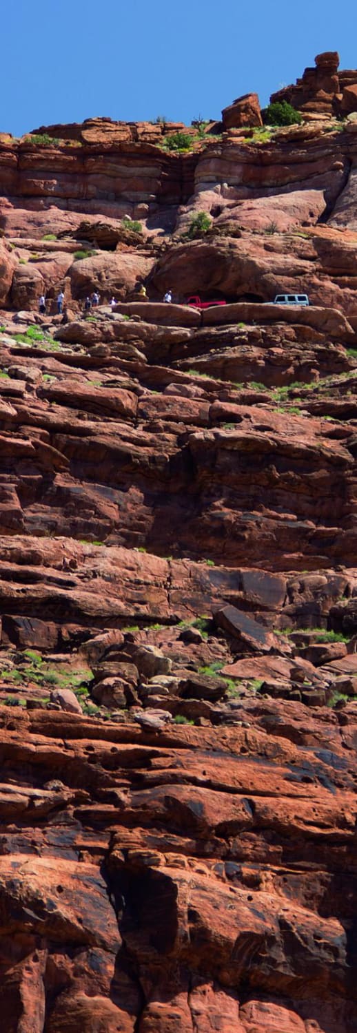
Jackson Hole
Total Miles
8.2
Tech Rating
Moderate
Best Time
Spring, Summer, Fall
Learn more about Jackson Wash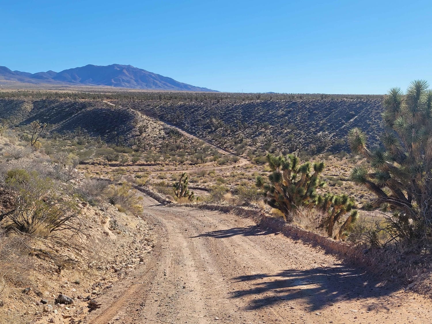
Jackson Wash
Total Miles
13.1
Tech Rating
Easy
Best Time
Winter, Fall, Spring
Learn more about Jacob City Soldier Canyon Loop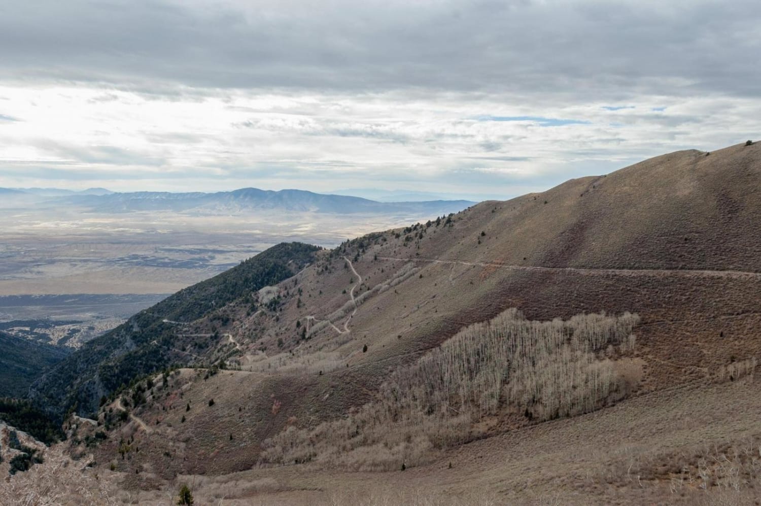
Jacob City Soldier Canyon Loop
Total Miles
15.0
Tech Rating
Moderate
Best Time
Summer, Fall
Learn more about Jacobs Chair Road
Jacobs Chair Road
Total Miles
12.9
Tech Rating
Easy
Best Time
Spring, Summer, Fall
Learn more about Jacobs Chair West
Jacobs Chair West
Total Miles
7.2
Tech Rating
Easy
Best Time
Spring, Summer, Fall
Learn more about Jeremy Ranch Road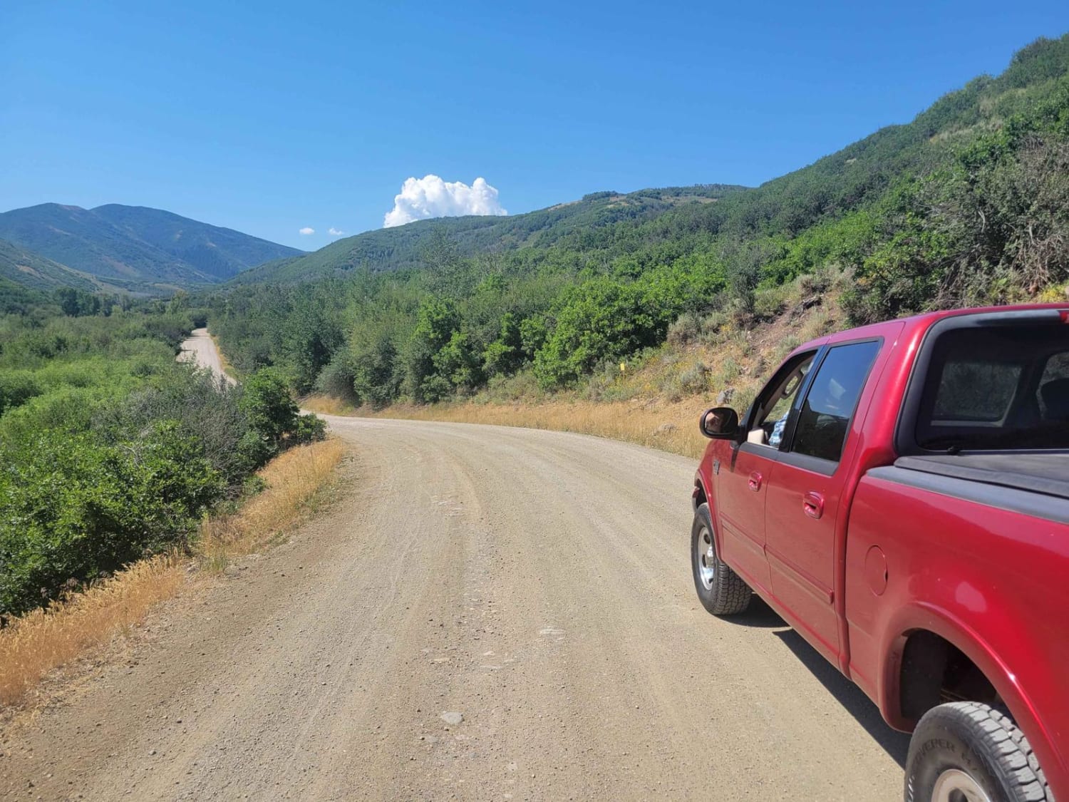
Jeremy Ranch Road
Total Miles
7.3
Tech Rating
Easy
Best Time
Spring, Summer, Fall
ATV trails in Utah

Learn more about 14 Mile Road
14 Mile Road
Total Miles
14.7
Tech Rating
Easy
Best Time
Spring, Summer, Fall, Winter


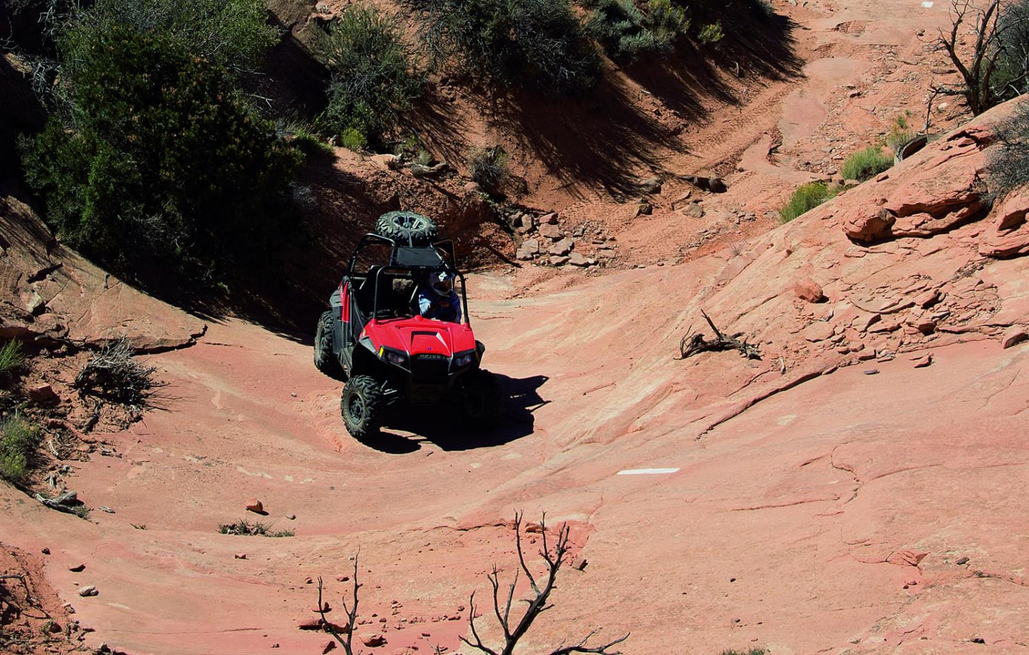
UTV/side-by-side trails in Utah
Learn more about 14 Mile Road
14 Mile Road
Total Miles
14.7
Tech Rating
Easy
Best Time
Spring, Summer, Fall, Winter
The onX Offroad Difference
onX Offroad combines trail photos, descriptions, difficulty ratings, width restrictions, seasonality, and more in a user-friendly interface. Available on all devices, with offline access and full compatibility with CarPlay and Android Auto. Discover what you’re missing today!