Off-Road Trails in Utah
Discover off-road trails in Utah
Learn more about Leeds-Cottonwood Elephant Skin Canyon
Leeds-Cottonwood Elephant Skin Canyon
Total Miles
0.8
Tech Rating
Easy
Best Time
Spring, Summer, Fall, Winter
Learn more about Leeds-Cottonwood Rock Crawling Playground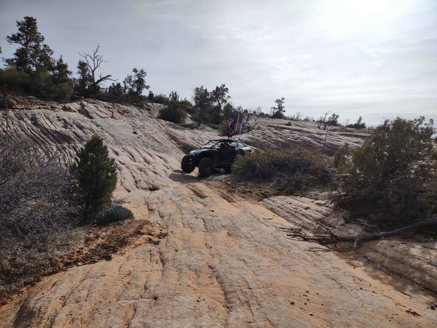
Leeds-Cottonwood Rock Crawling Playground
Total Miles
1.3
Tech Rating
Easy
Best Time
Spring, Summer, Fall, Winter
Learn more about Leeds-Cottonwood Spur 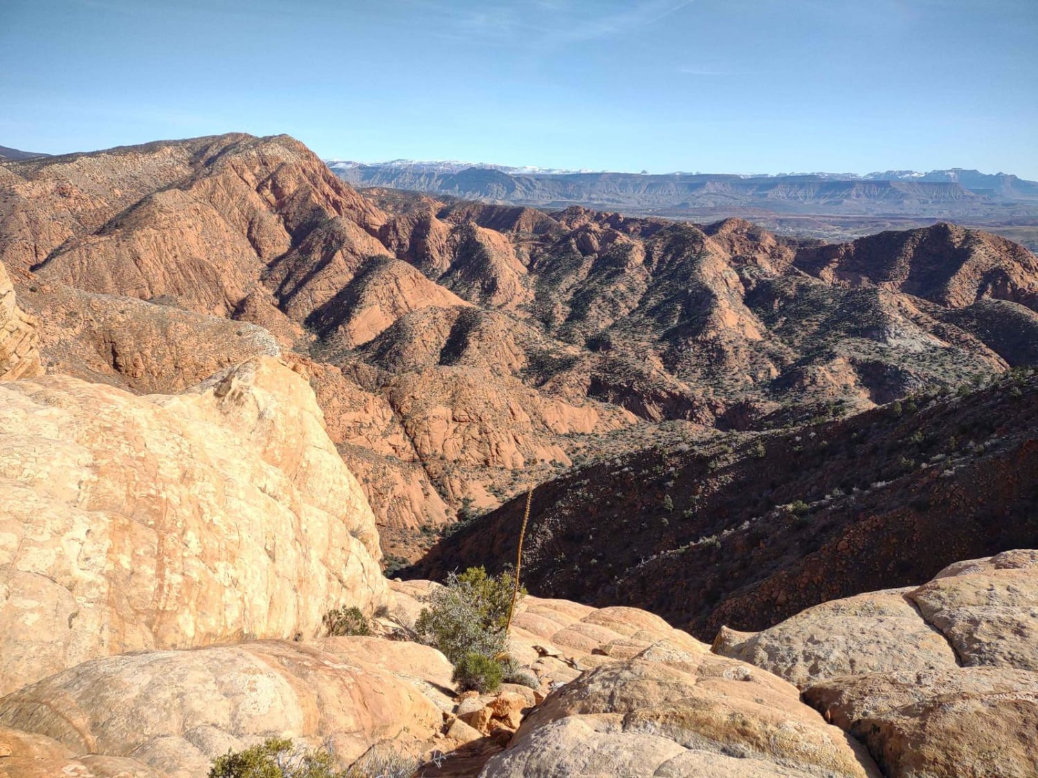
Leeds-Cottonwood Spur
Total Miles
0.9
Tech Rating
Easy
Best Time
Spring, Summer, Fall, Winter
Learn more about Left Fork Days Canyon (8011)
Left Fork Days Canyon (8011)
Total Miles
3.7
Tech Rating
Difficult
Best Time
Summer, Fall
Learn more about Left Fork Hobble Creek - FS 70132
Left Fork Hobble Creek - FS 70132
Total Miles
5.3
Tech Rating
Easy
Best Time
Summer, Fall
Learn more about Left Fork Hobble Creek - FS 70147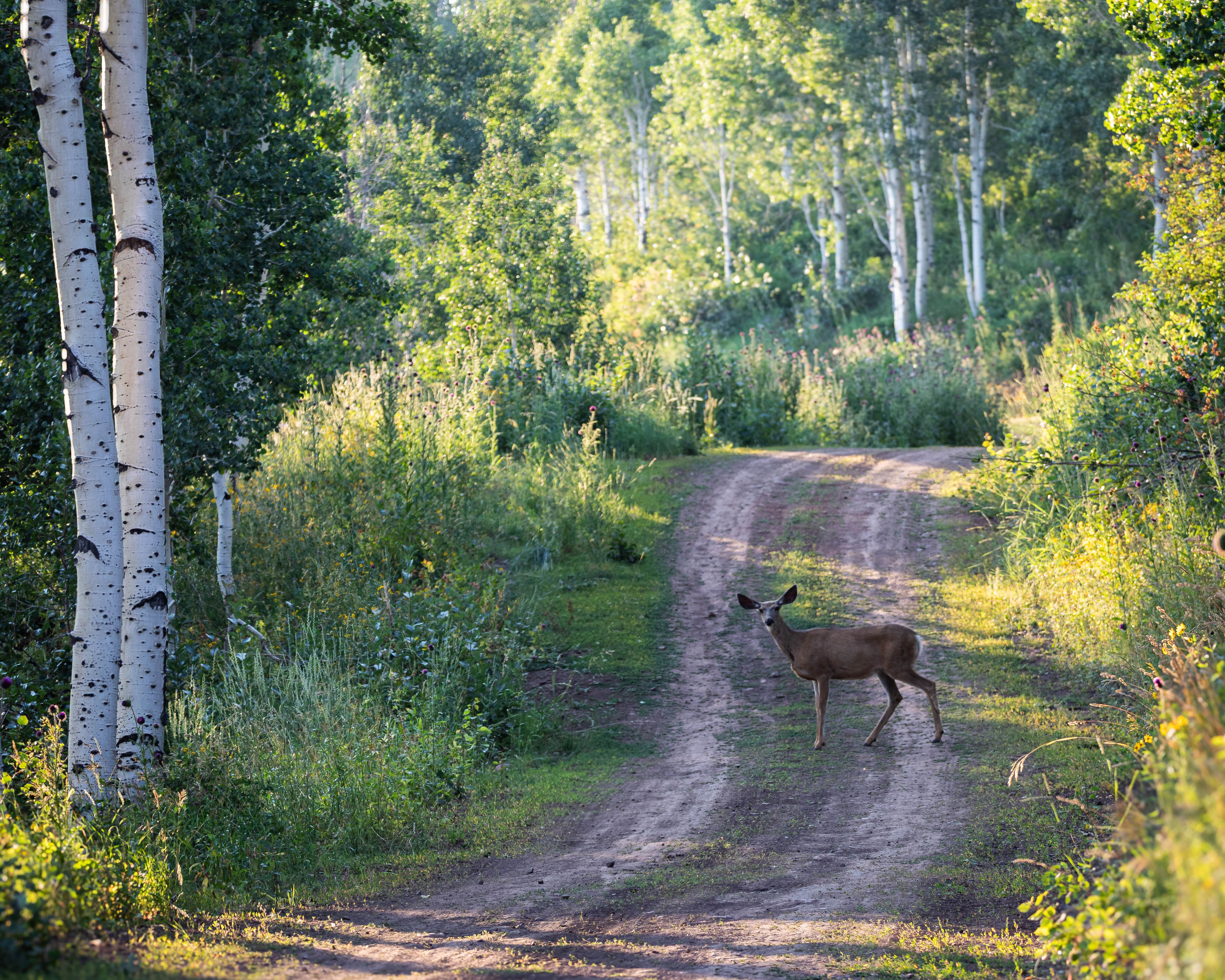
Left Fork Hobble Creek - FS 70147
Total Miles
14.1
Tech Rating
Easy
Best Time
Summer, Fall
Learn more about Left Fork Maple Canyon (8006)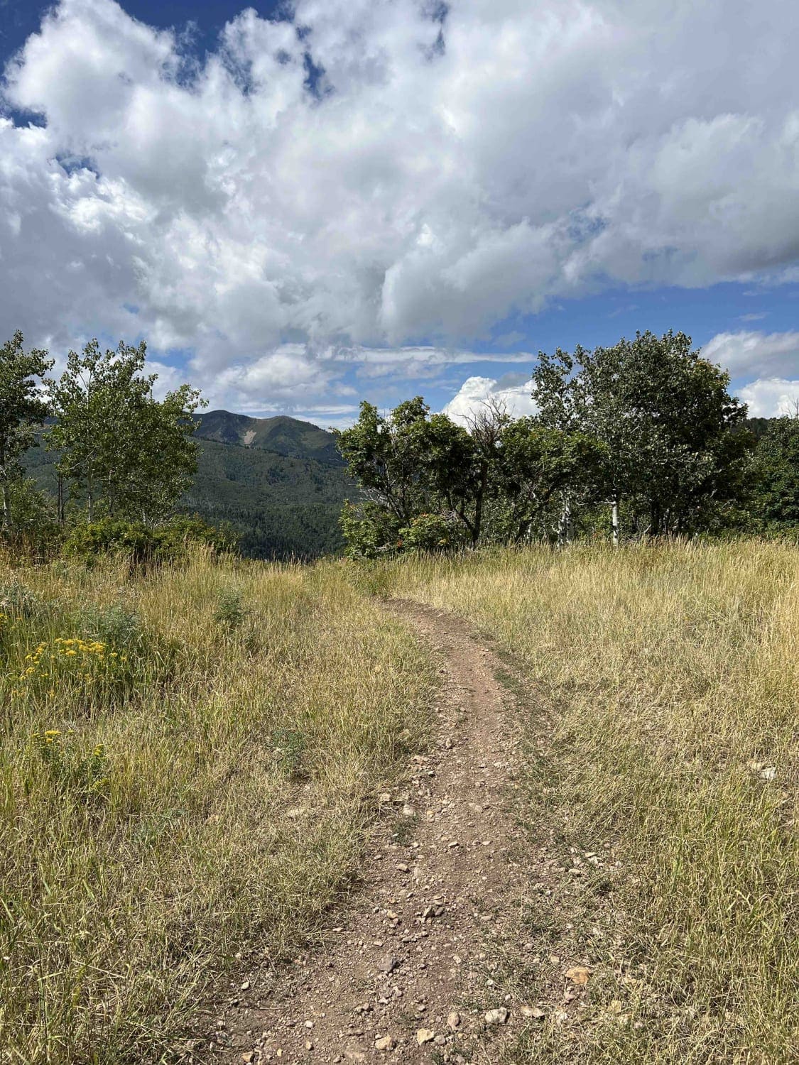
Left Fork Maple Canyon (8006)
Total Miles
4.2
Tech Rating
Moderate
Best Time
Summer, Fall
Learn more about Left Fork Rhodes Canyon
Left Fork Rhodes Canyon
Total Miles
3.0
Tech Rating
Moderate
Best Time
Spring, Summer, Fall
Learn more about Left Fork Rhodes Canyon - FS 70151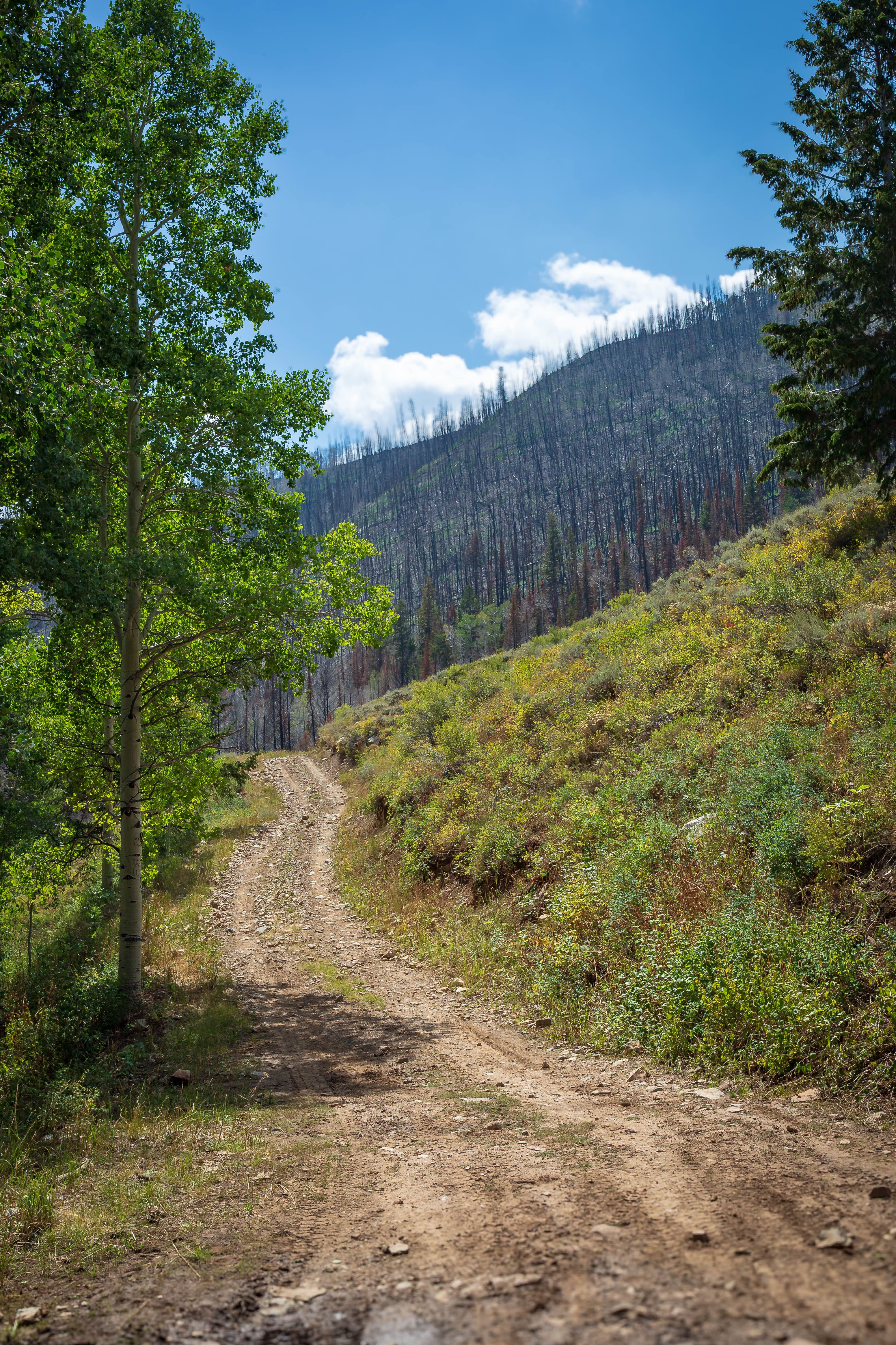
Left Fork Rhodes Canyon - FS 70151
Total Miles
4.0
Tech Rating
Easy
Best Time
Summer, Fall
Learn more about Left Hand Collett Canyon Road (BLM230)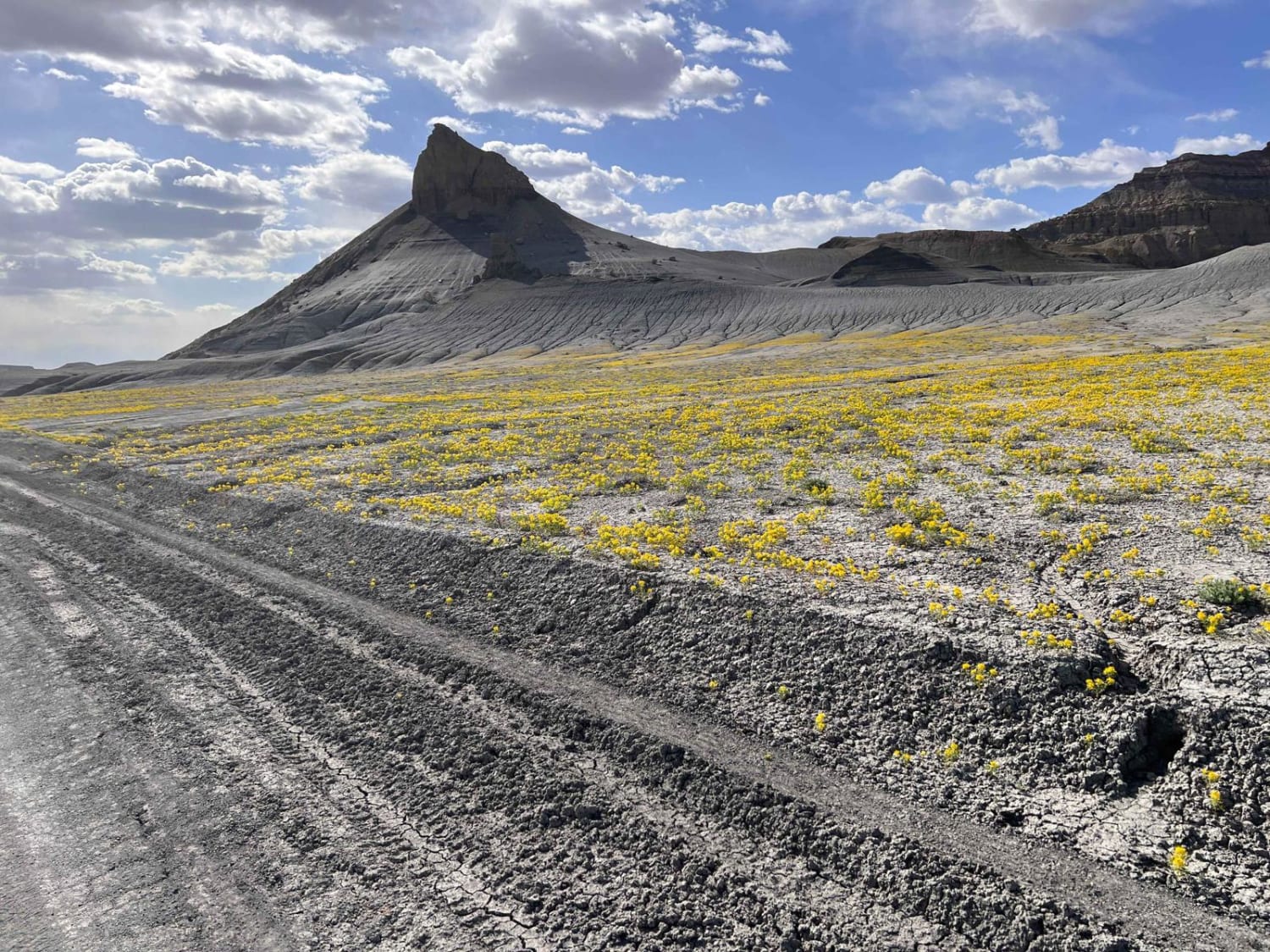
Left Hand Collett Canyon Road (BLM230)
Total Miles
45.8
Tech Rating
Easy
Best Time
Spring, Summer, Fall
Learn more about Left Hand Fork Trail
Left Hand Fork Trail
Total Miles
11.9
Tech Rating
Difficult
Best Time
Summer, Fall
Learn more about Left Hand Summerville Wash 
Left Hand Summerville Wash
Total Miles
3.6
Tech Rating
Easy
Best Time
Spring, Fall, Winter
Learn more about Levi Well Road (CR372)
Levi Well Road (CR372)
Total Miles
6.3
Tech Rating
Easy
Best Time
Spring, Summer, Fall, Winter
Learn more about Lewis Peak (6041)
Lewis Peak (6041)
Total Miles
3.3
Tech Rating
Moderate
Best Time
Fall, Summer
Learn more about Lewis Ridge Road
Lewis Ridge Road
Total Miles
10.5
Tech Rating
Easy
Best Time
Spring, Summer, Fall
Learn more about Liberty Avon Road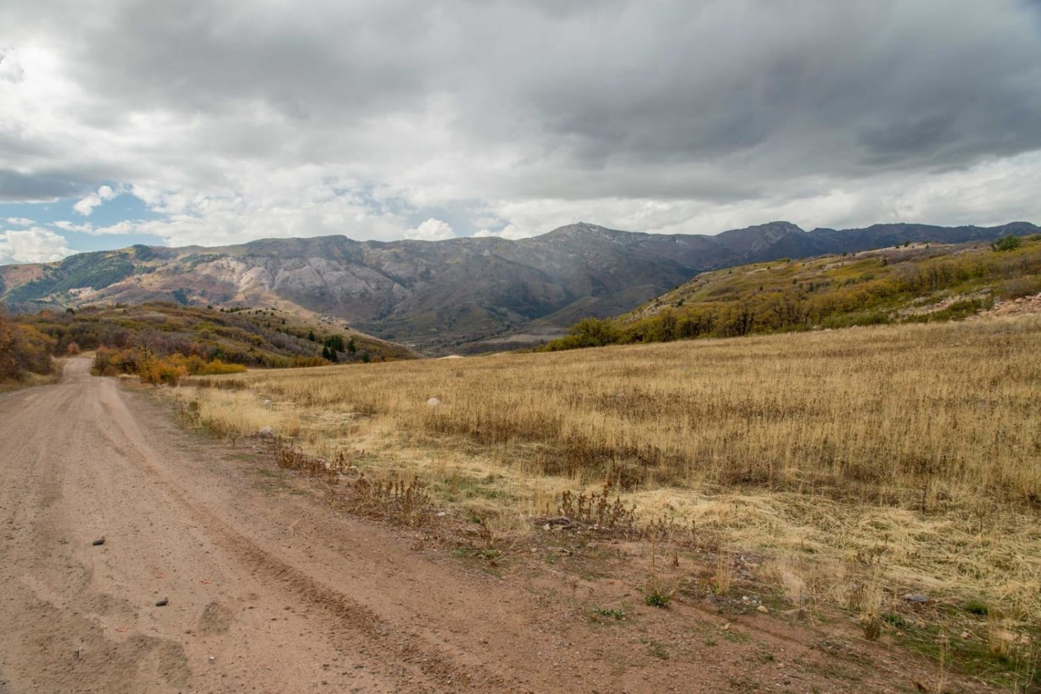
Liberty Avon Road
Total Miles
13.6
Tech Rating
Easy
Best Time
Summer, Fall
Learn more about Lightning Draw Trail
Lightning Draw Trail
Total Miles
1.8
Tech Rating
Easy
Best Time
Spring, Summer, Fall
Learn more about Lily Lake and Wolverine ATV Trail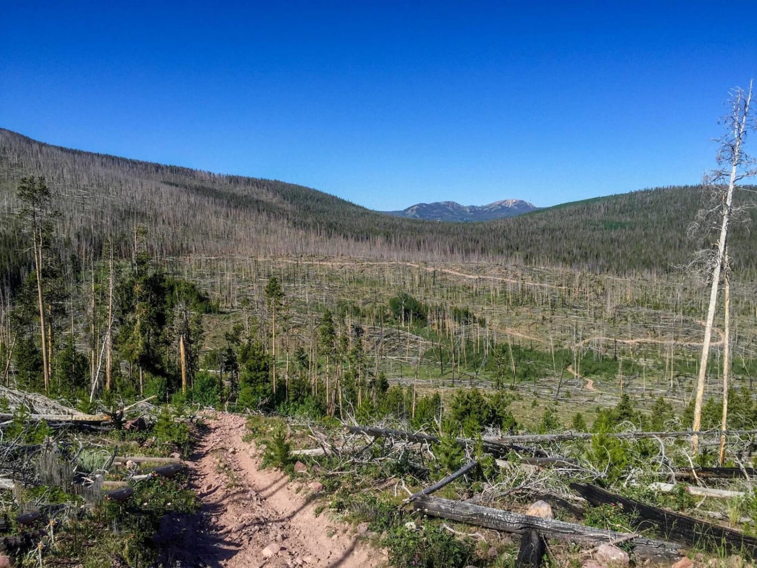
Lily Lake and Wolverine ATV Trail
Total Miles
9.7
Tech Rating
Moderate
Best Time
Summer, Fall
Learn more about Lily Lake Road
Lily Lake Road
Total Miles
3.8
Tech Rating
Easy
Best Time
Spring, Summer, Fall
Learn more about Limekiln Road-BLM2350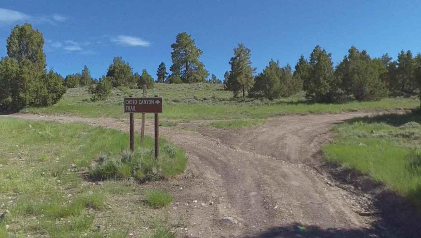
Limekiln Road-BLM2350
Total Miles
8.7
Tech Rating
Easy
Best Time
Spring, Summer, Fall
ATV trails in Utah

Learn more about 14 Mile Road
14 Mile Road
Total Miles
14.7
Tech Rating
Easy
Best Time
Spring, Summer, Fall, Winter


UTV/side-by-side trails in Utah
Learn more about 14 Mile Road
14 Mile Road
Total Miles
14.7
Tech Rating
Easy
Best Time
Spring, Summer, Fall, Winter
The onX Offroad Difference
onX Offroad combines trail photos, descriptions, difficulty ratings, width restrictions, seasonality, and more in a user-friendly interface. Available on all devices, with offline access and full compatibility with CarPlay and Android Auto. Discover what you’re missing today!