Left Fork Hobble Creek - FS 70132
Total Miles
5.3
Technical Rating
Best Time
Summer, Fall
Trail Type
Full-Width Road
Accessible By
Trail Overview
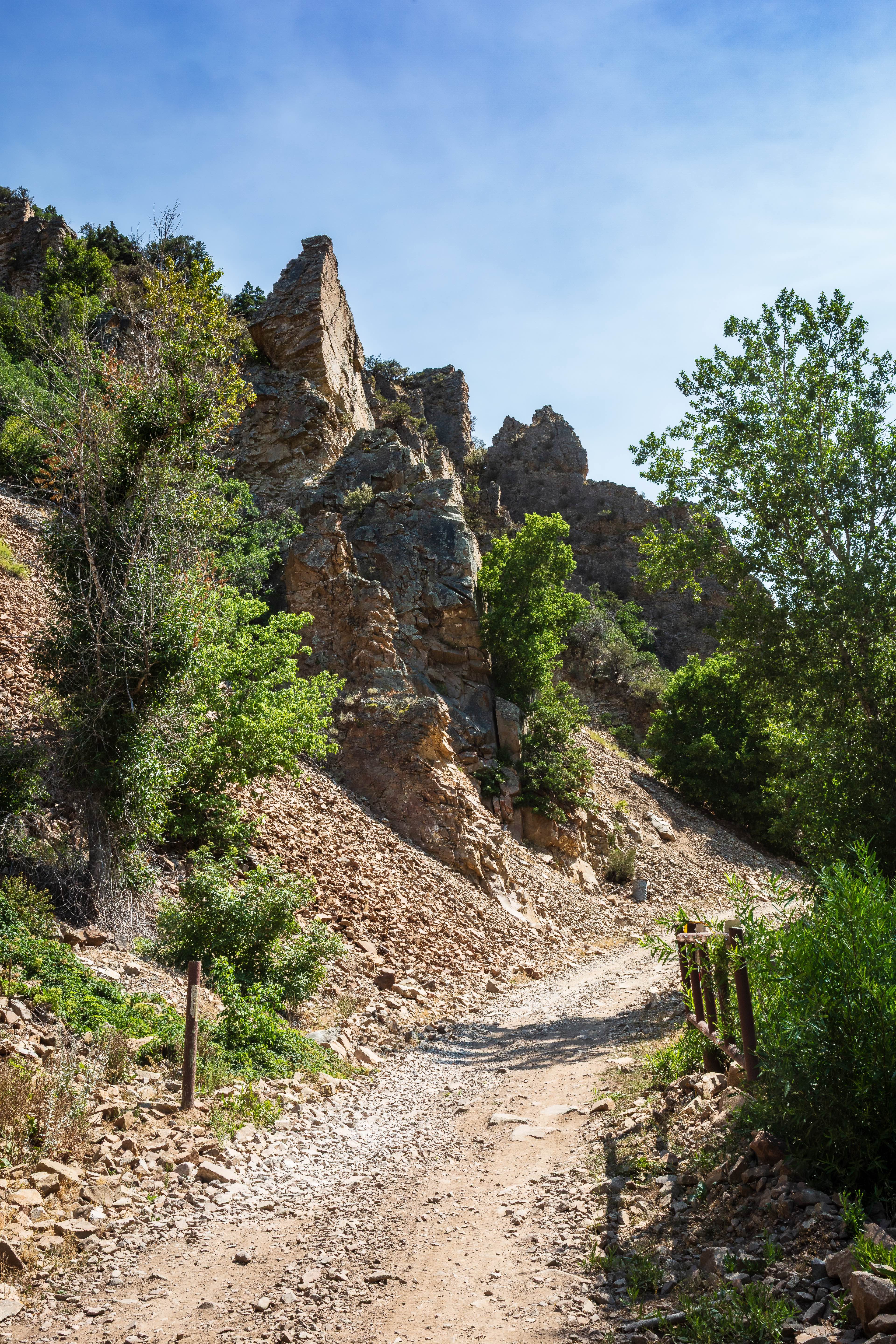
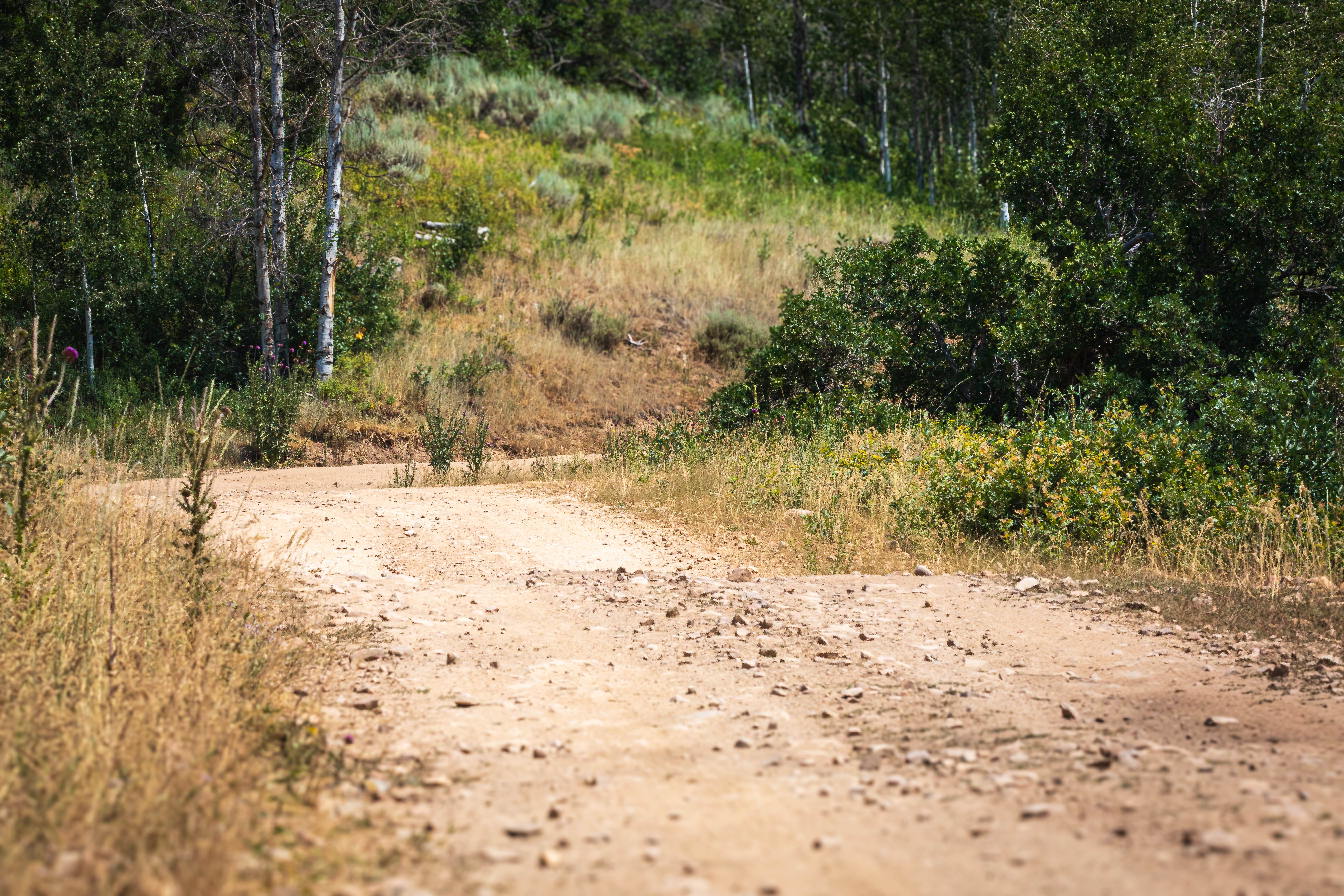
Left Fork Hobble Creek (FS 70132) may share the same name as Forest Service Road 70147, but the two roads are quite different. Starting at the intersection where FS 70147, Wing Flat (FS 70619), and this meet up, Left Fork Hobble Creek (FR 70132) descends southwest to a narrow canyon surrounded by tall, jagged cliffs and thick pine forests. For the most part, expect a ride on a shelf road with some pretty stunning scenery. This trail is wide with a rocky surface and is relatively flat. There are some pretty great campsites on the northeast end and the southwest end of the trail.
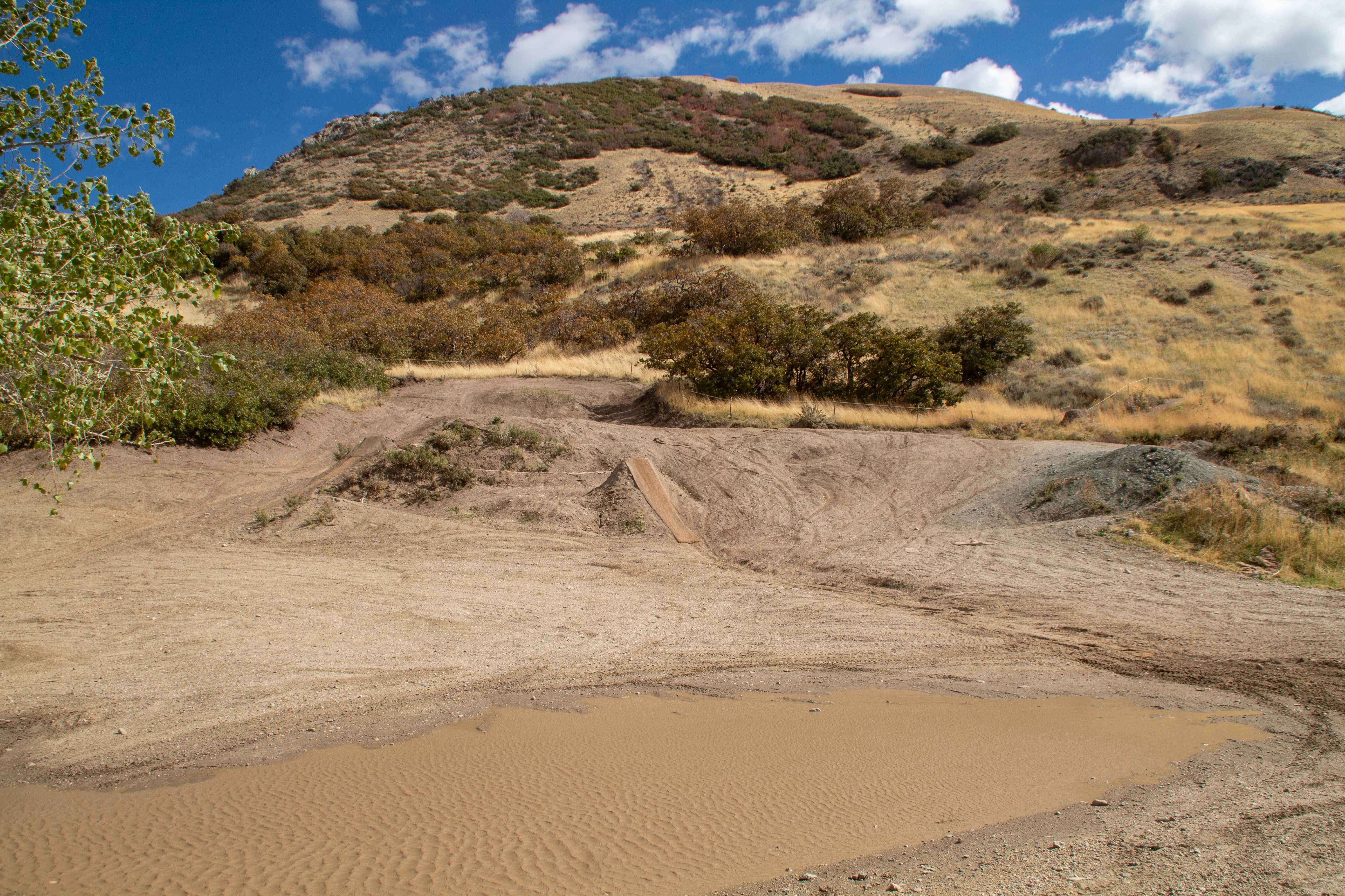
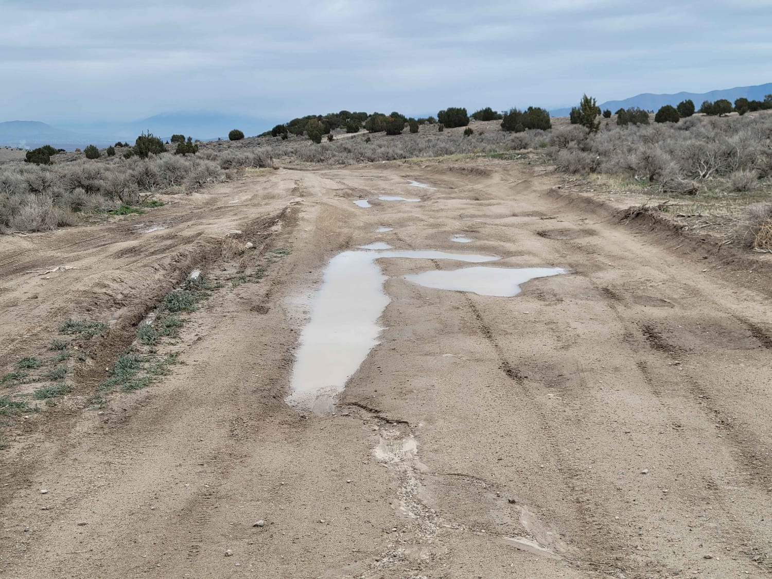
Photos of Left Fork Hobble Creek - FS 70132
Difficulty
This road is mostly dirt with sections of rock and gravel and small obstacles such as rocks and dips. Expect a shelf road until the descent into the canyon at the southwest end.
Left Fork Hobble Creek - FS 70132 can be accessed by the following ride types:
- High-Clearance 4x4
- SUV
- SxS (60")
- ATV (50")
- Dirt Bike
Left Fork Hobble Creek - FS 70132 Map
Popular Trails
Salt - Crystal Connector
CR 244 Johns Canyon Road
Centerville Offroad Bowl Lower Trail
The onX Offroad Difference
onX Offroad combines trail photos, descriptions, difficulty ratings, width restrictions, seasonality, and more in a user-friendly interface. Available on all devices, with offline access and full compatibility with CarPlay and Android Auto. Discover what you’re missing today!