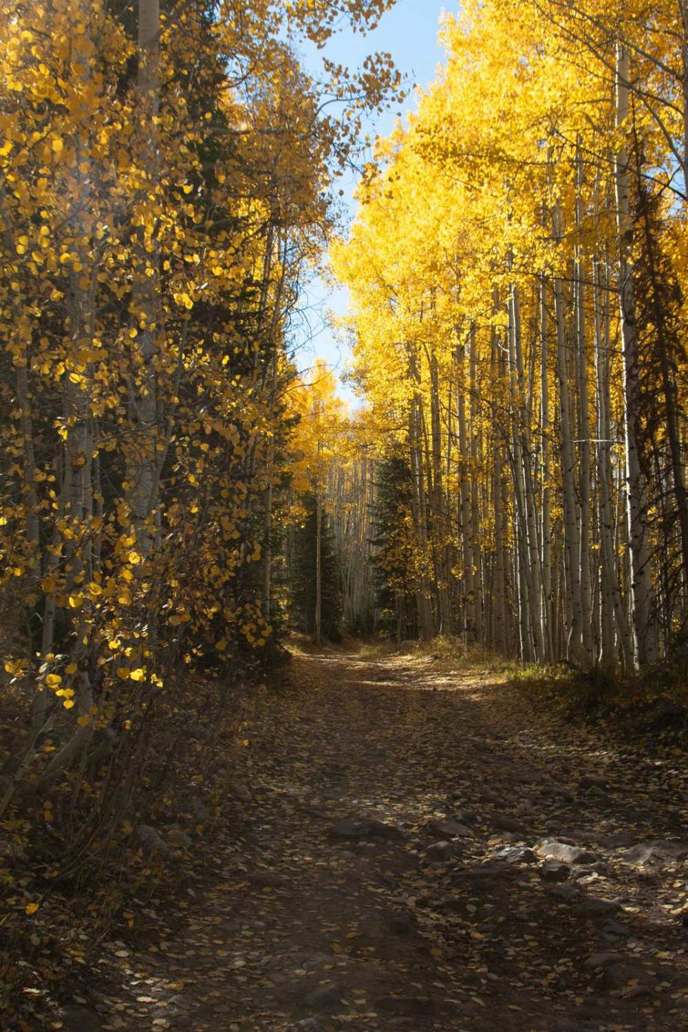
Off-Road Trails in Utah
Discover off-road trails in Utah
Learn more about Koosharem Canyon - FR40076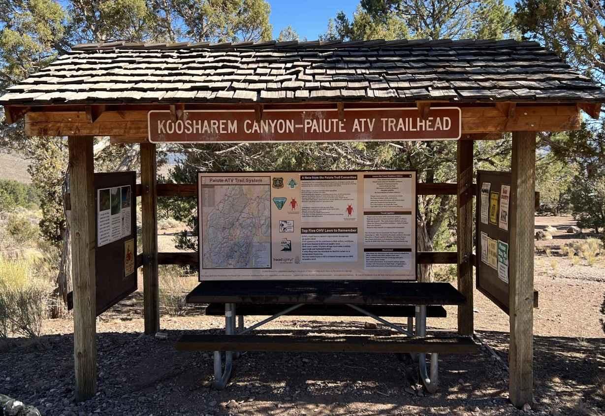
Koosharem Canyon - FR40076
Total Miles
3.6
Tech Rating
Easy
Best Time
Spring, Summer, Fall
Learn more about Koosharem Pasture Road Guard Station - PST44 FS41163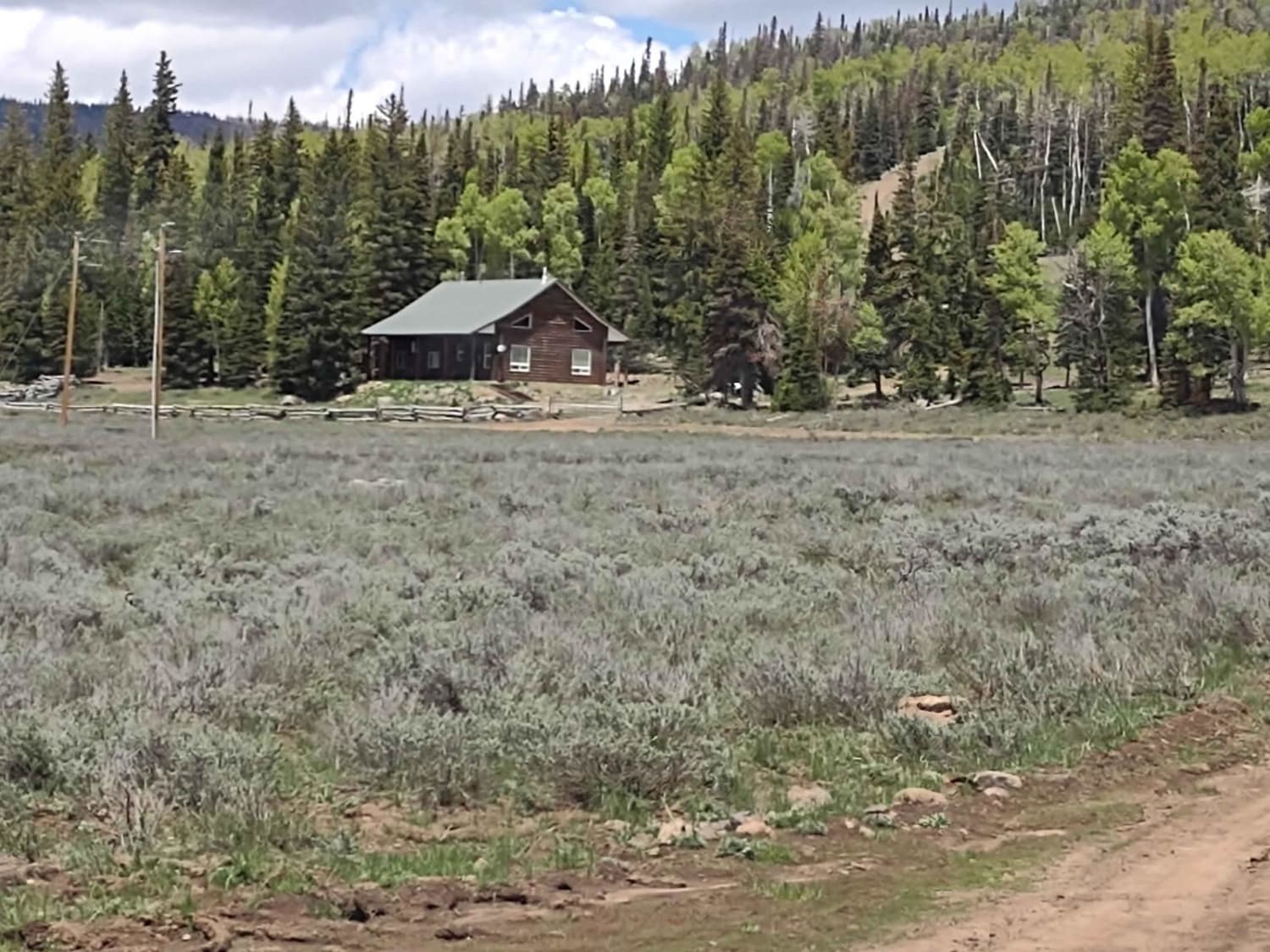
Koosharem Pasture Road Guard Station - PST44 FS41163
Total Miles
6.3
Tech Rating
Easy
Best Time
Summer, Fall, Spring
Learn more about Kweeyahgut Creek Road 
Kweeyahgut Creek Road
Total Miles
2.3
Tech Rating
Easy
Best Time
Spring, Summer, Fall
Learn more about La Verkin Overlook - County Road 395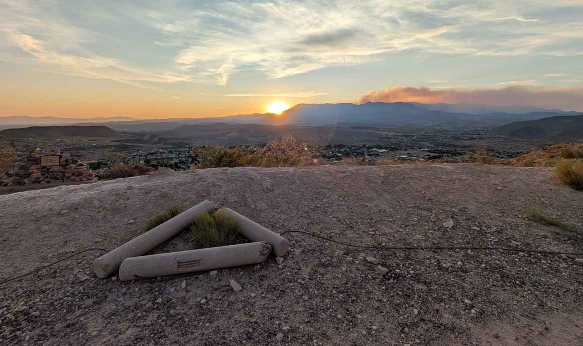
La Verkin Overlook - County Road 395
Total Miles
1.5
Tech Rating
Easy
Best Time
Spring, Summer, Fall, Winter
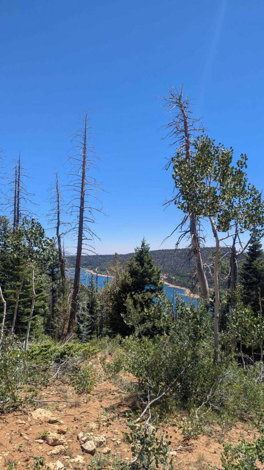
Learn more about Lake Canyon Road - 10700S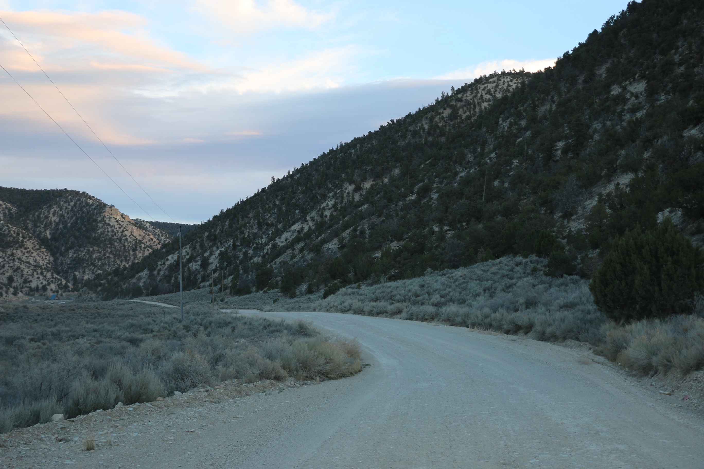
Lake Canyon Road - 10700S
Total Miles
36.7
Tech Rating
Easy
Best Time
Spring, Summer, Fall
Learn more about Lake CR Currant Creek (70083)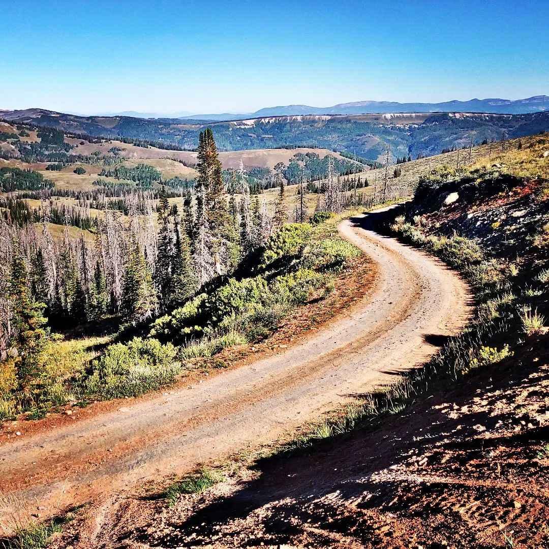
Lake CR Currant Creek (70083)
Total Miles
10.9
Tech Rating
Easy
Best Time
Summer, Fall, Spring
Learn more about Lake Fork-Indianola - FS 50070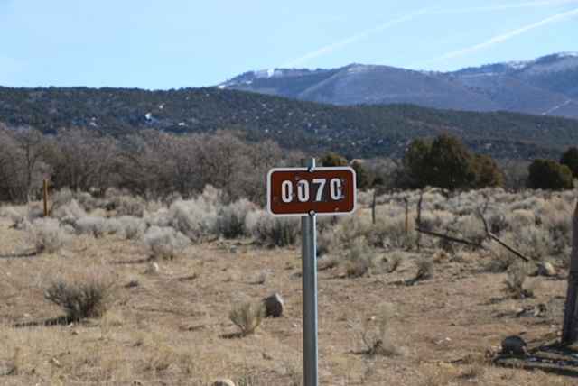
Lake Fork-Indianola - FS 50070
Total Miles
17.5
Tech Rating
Easy
Best Time
Spring, Summer, Fall
Learn more about Lake Mountain Block Road
Lake Mountain Block Road
Total Miles
5.6
Tech Rating
Easy
Best Time
Spring, Summer, Fall
Learn more about Lake Mountain East
Lake Mountain East
Total Miles
2.0
Tech Rating
Easy
Best Time
Spring, Summer, Fall
Learn more about Lake Mountain Trail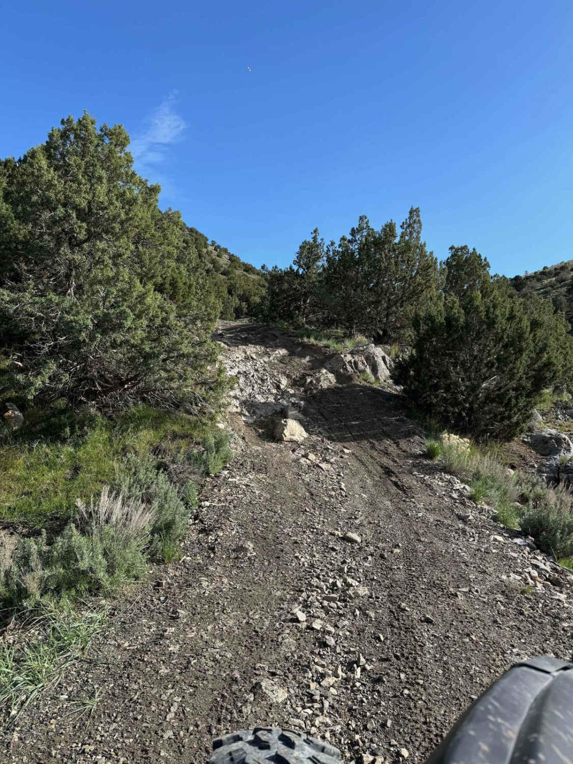
Lake Mountain Trail
Total Miles
10.9
Tech Rating
Moderate
Best Time
Spring, Summer, Fall
Learn more about Lakeside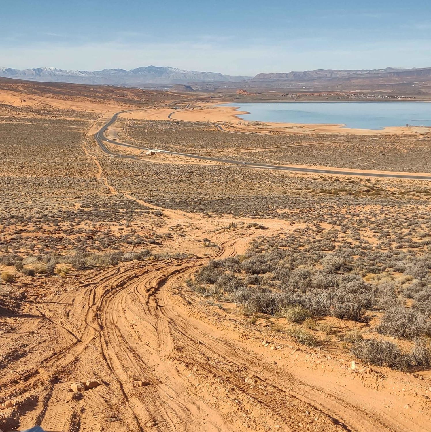
Lakeside
Total Miles
2.8
Tech Rating
Moderate
Best Time
Spring, Summer, Fall, Winter
Learn more about Lakeside to Razzle Dazzle East
Lakeside to Razzle Dazzle East
Total Miles
2.8
Tech Rating
Moderate
Best Time
Spring, Summer, Fall, Winter
Learn more about Lakeview Connector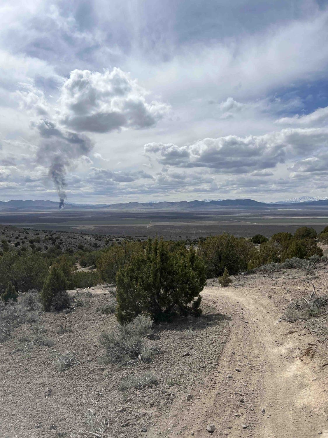
Lakeview Connector
Total Miles
2.1
Tech Rating
Easy
Best Time
Spring, Summer, Fall, Winter
Learn more about Lakeview East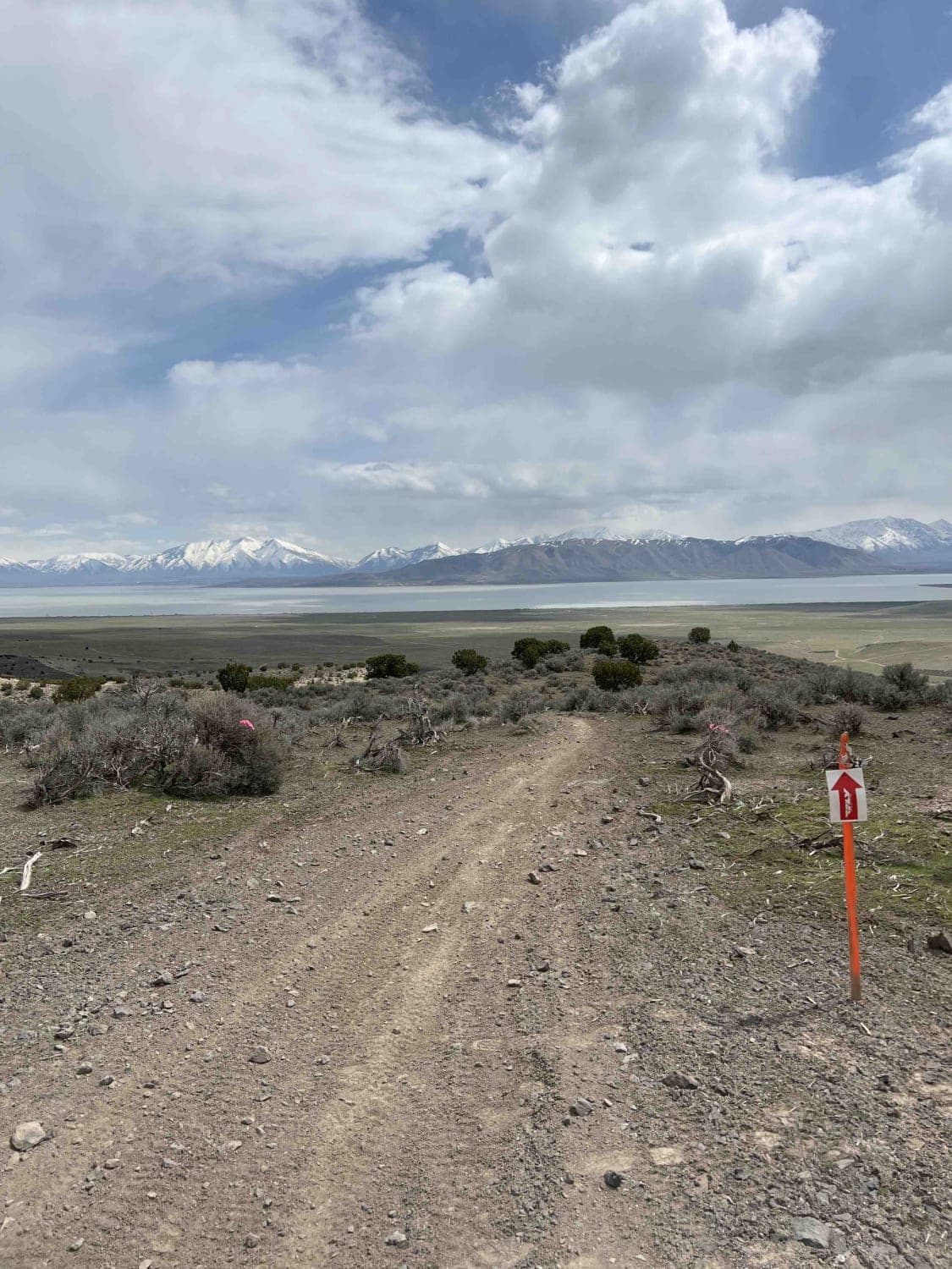
Lakeview East
Total Miles
4.5
Tech Rating
Moderate
Best Time
Spring, Summer, Fall, Winter
Learn more about Lakeview West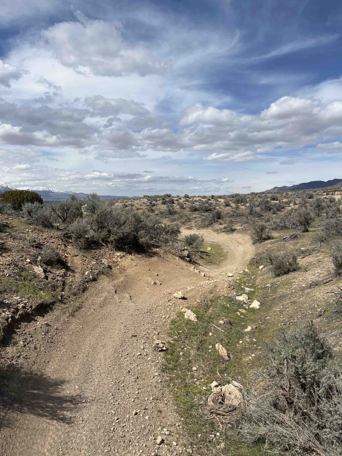
Lakeview West
Total Miles
2.2
Tech Rating
Easy
Best Time
Winter, Fall, Summer, Spring
Learn more about Lambert Many Rds 1 (FR 80919)
Lambert Many Rds 1 (FR 80919)
Total Miles
0.9
Tech Rating
Easy
Best Time
Summer, Fall
ATV trails in Utah

Learn more about 14 Mile Road
14 Mile Road
Total Miles
14.7
Tech Rating
Easy
Best Time
Spring, Summer, Fall, Winter


UTV/side-by-side trails in Utah
Learn more about 14 Mile Road
14 Mile Road
Total Miles
14.7
Tech Rating
Easy
Best Time
Spring, Summer, Fall, Winter
The onX Offroad Difference
onX Offroad combines trail photos, descriptions, difficulty ratings, width restrictions, seasonality, and more in a user-friendly interface. Available on all devices, with offline access and full compatibility with CarPlay and Android Auto. Discover what you’re missing today!