Off-Road Trails in Utah
Discover off-road trails in Utah
Learn more about Little Moab North Entrance
Little Moab North Entrance
Total Miles
18.5
Tech Rating
Easy
Best Time
Spring, Summer, Fall
Learn more about Little Moab Racetrack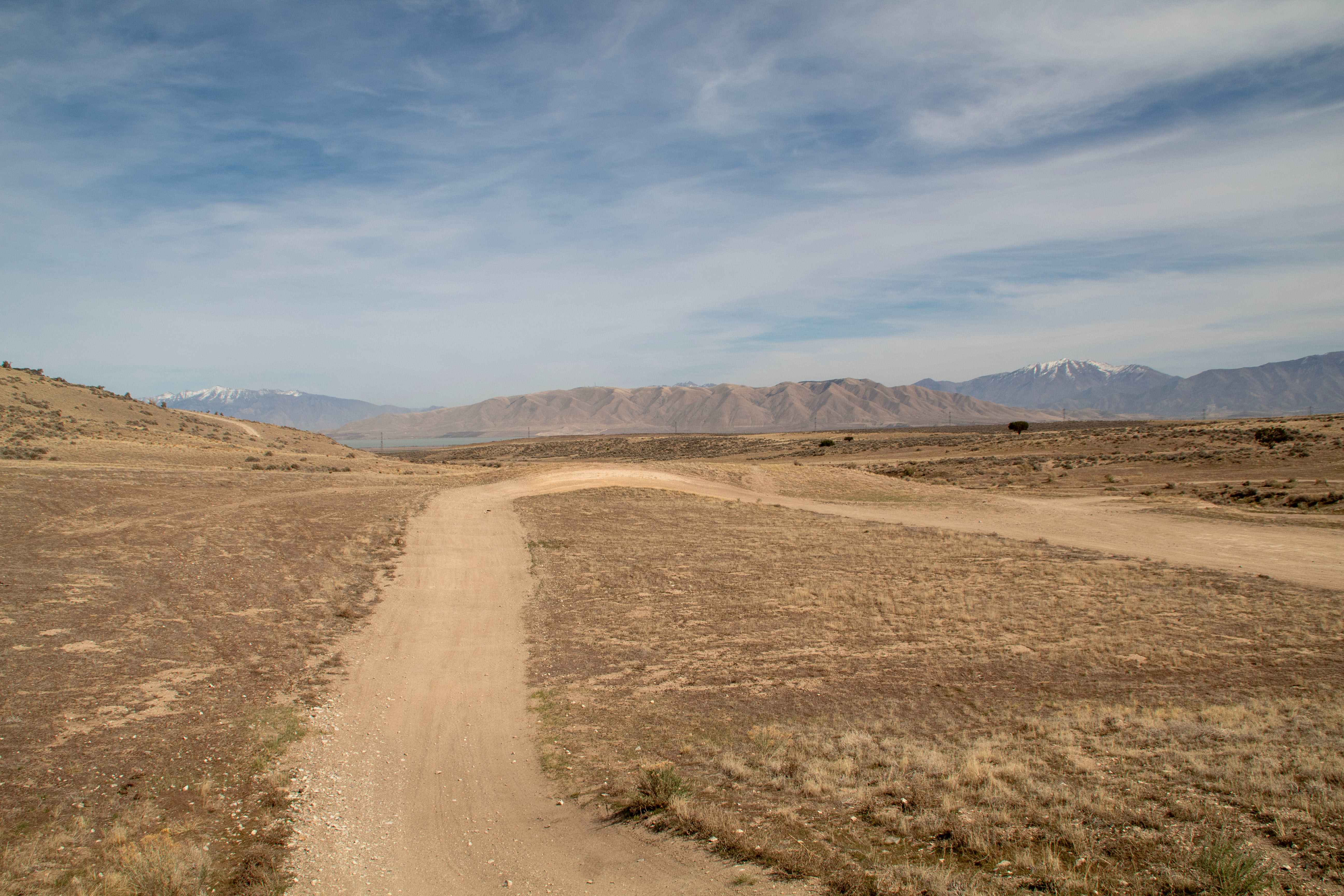
Little Moab Racetrack
Total Miles
0.6
Tech Rating
Easy
Best Time
Spring, Summer, Fall, Winter
Learn more about Little Moab Trail
Little Moab Trail
Total Miles
1.9
Tech Rating
Easy
Best Time
Spring, Summer, Fall, Winter
Learn more about Little Moab Wash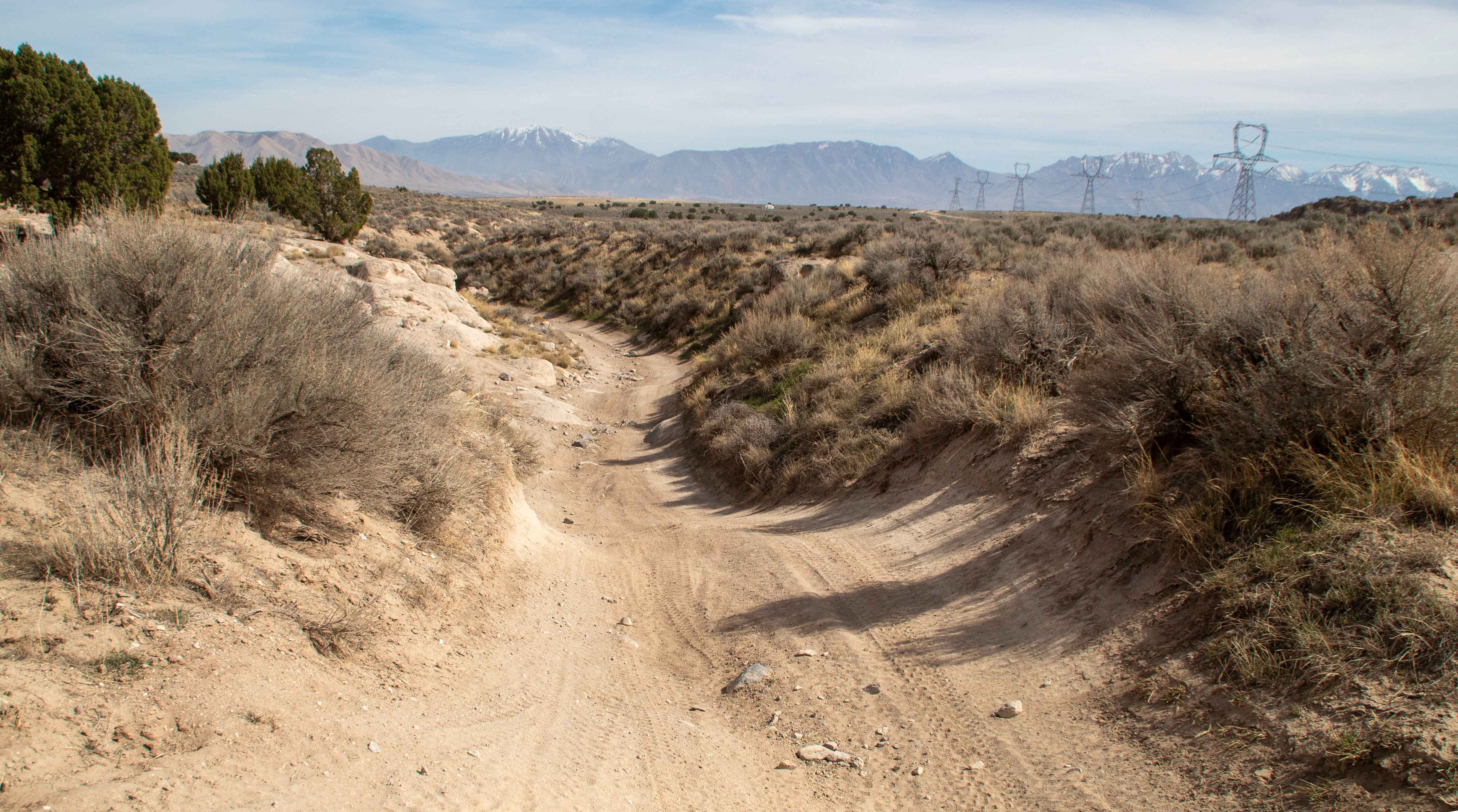
Little Moab Wash
Total Miles
1.1
Tech Rating
Easy
Best Time
Spring, Summer, Winter, Fall
Learn more about Little Moab West Entrance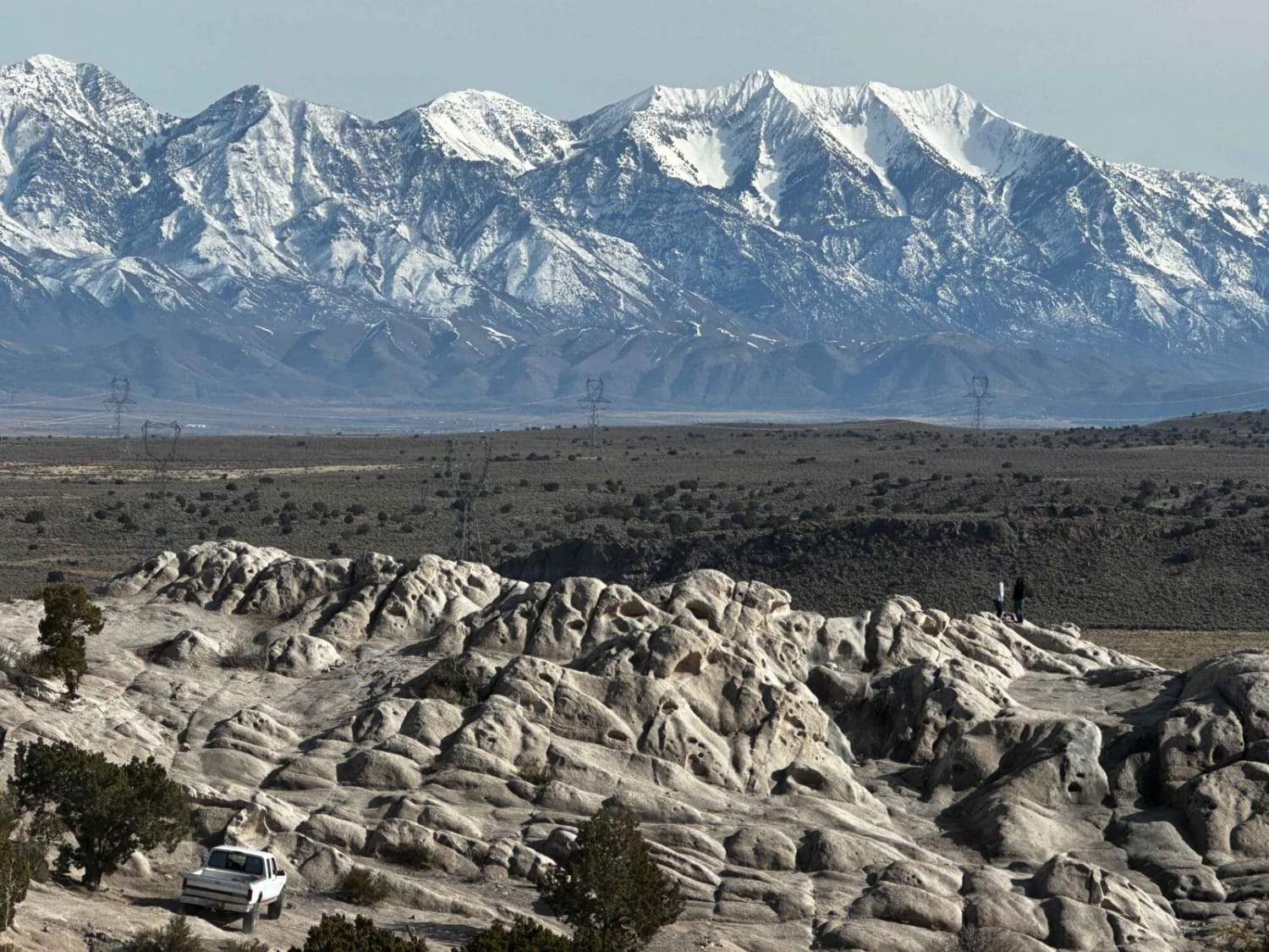
Little Moab West Entrance
Total Miles
1.4
Tech Rating
Easy
Best Time
Spring, Summer, Fall
Learn more about Little Moab-Slant Pass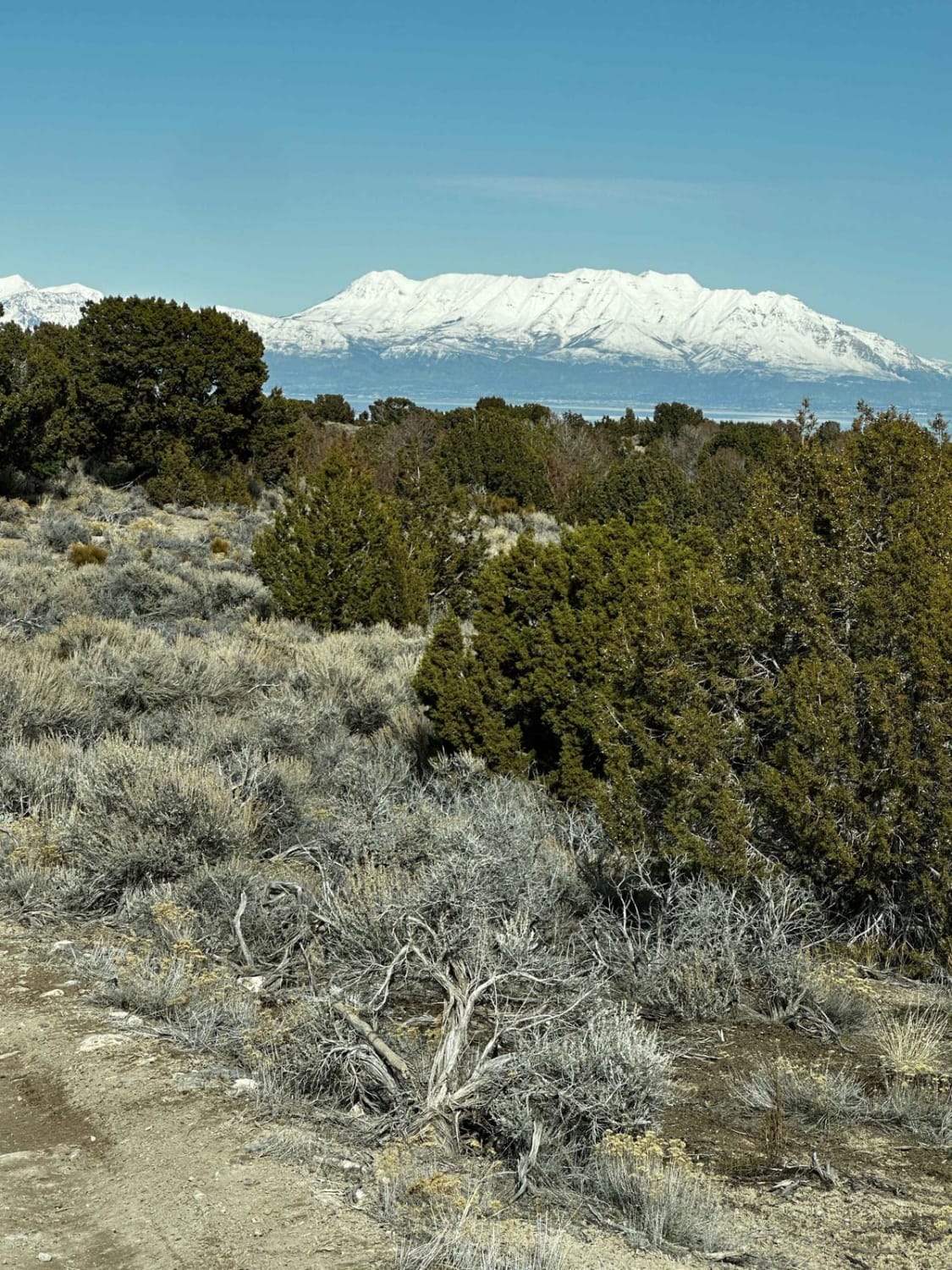
Little Moab-Slant Pass
Total Miles
6.7
Tech Rating
Easy
Best Time
Spring, Summer, Fall
Learn more about Little Mountain Loop
Little Mountain Loop
Total Miles
5.7
Tech Rating
Moderate
Best Time
Spring, Fall
Learn more about Little Pole Canyon
Little Pole Canyon
Total Miles
4.8
Tech Rating
Easy
Best Time
Spring, Summer, Fall
Learn more about Little South Fork Trail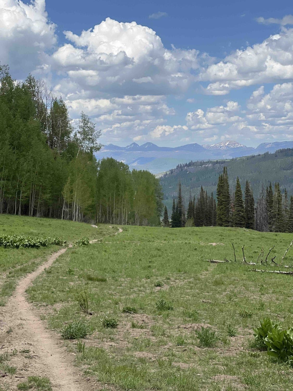
Little South Fork Trail
Total Miles
9.2
Tech Rating
Moderate
Best Time
Fall, Summer
Learn more about Little Table Hike Access (BM6241)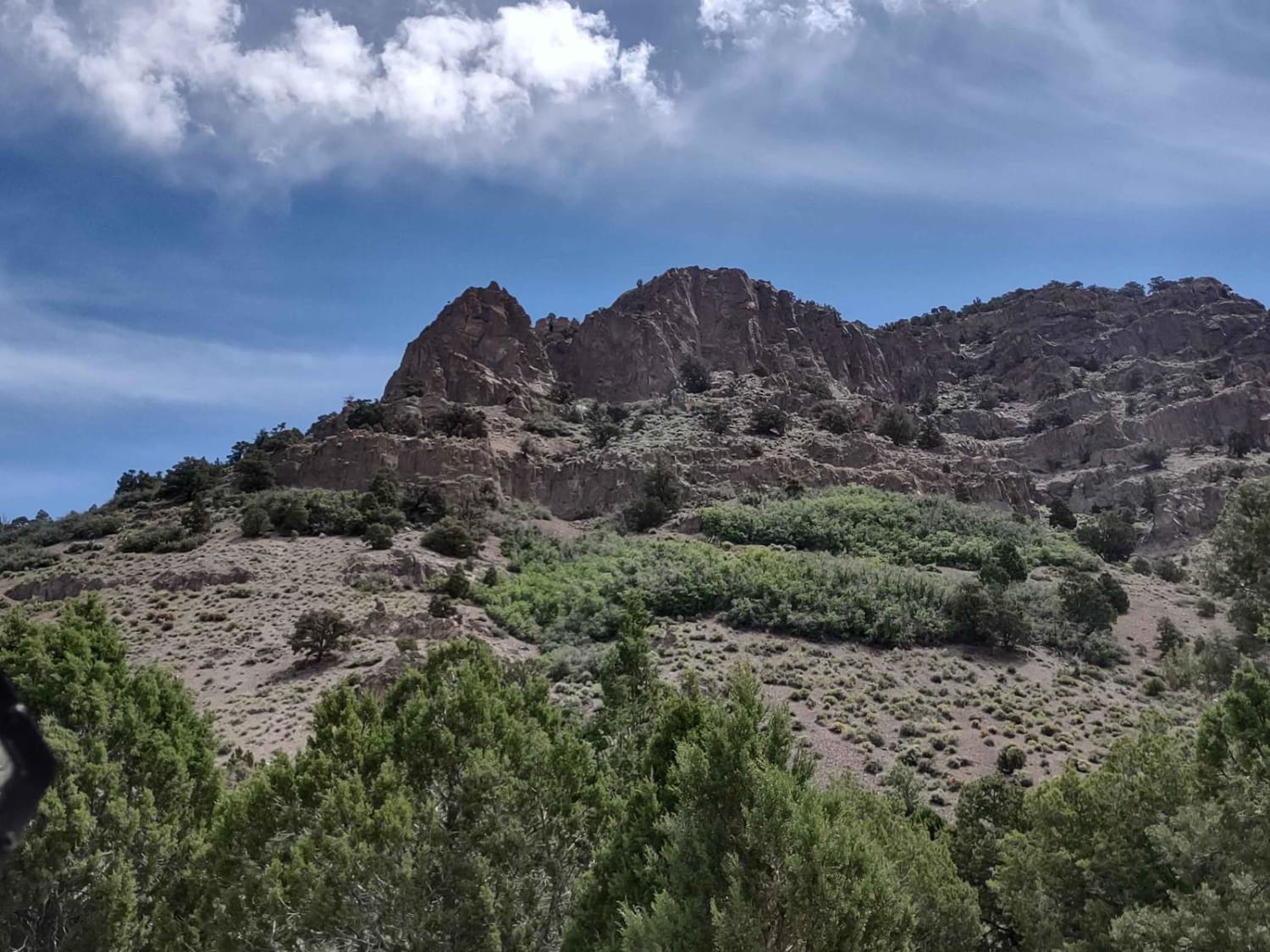
Little Table Hike Access (BM6241)
Total Miles
2.2
Tech Rating
Easy
Best Time
Spring, Summer, Fall
Learn more about Little Valley - FR 70121
Little Valley - FR 70121
Total Miles
2.8
Tech Rating
Moderate
Best Time
Summer, Fall
Learn more about Little Valley Road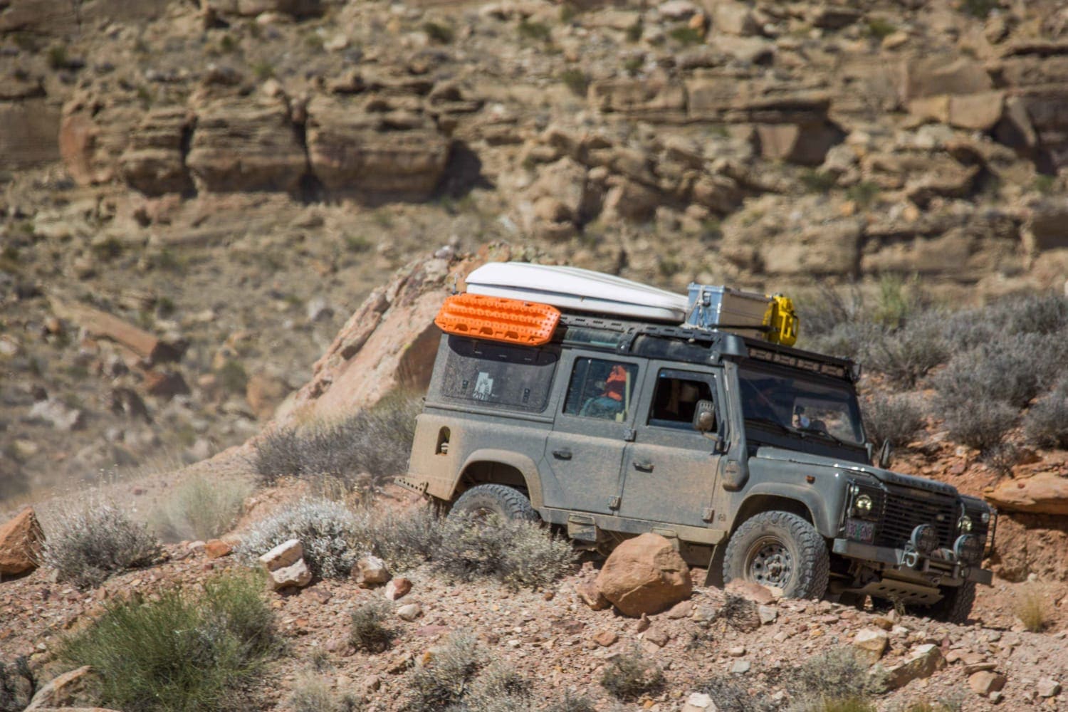
Little Valley Road
Total Miles
7.6
Tech Rating
Moderate
Best Time
Spring, Fall
Learn more about Little Wedge Road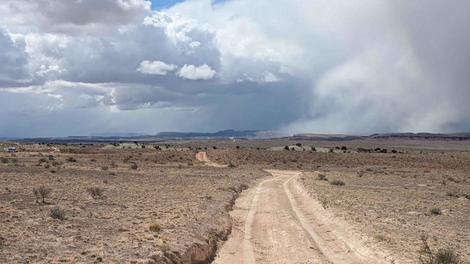
Little Wedge Road
Total Miles
8.3
Tech Rating
Easy
Best Time
Fall, Summer, Spring
Learn more about Little Wild Horse Canyon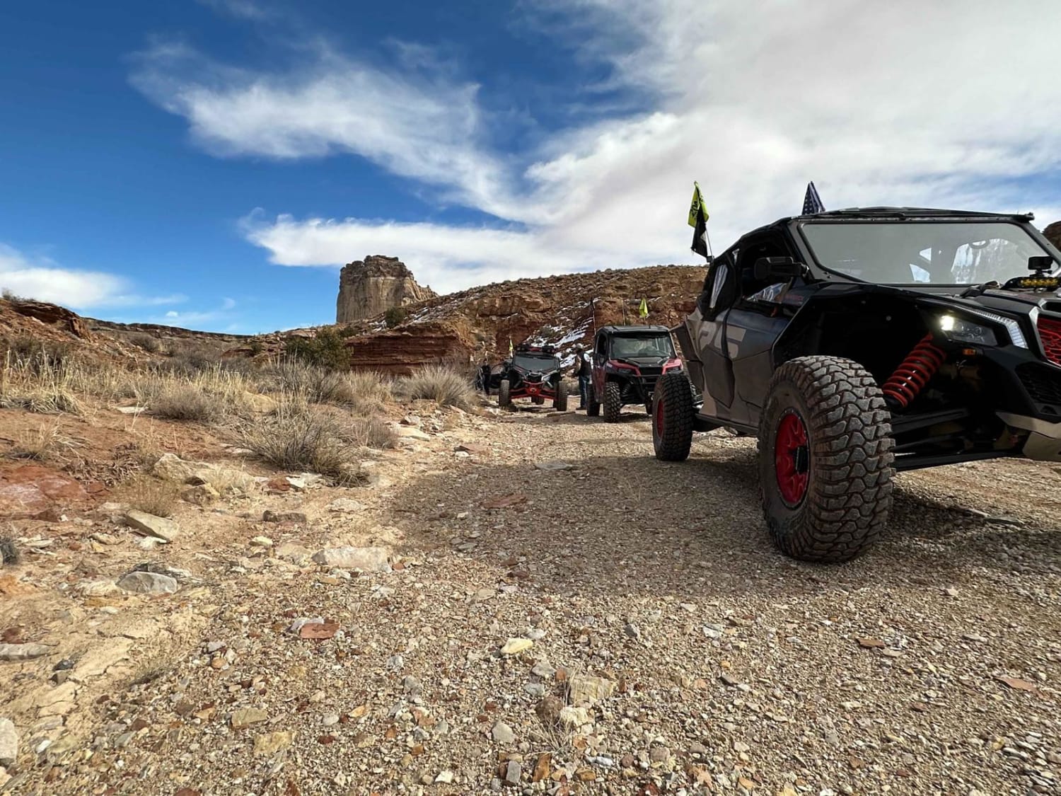
Little Wild Horse Canyon
Total Miles
15.4
Tech Rating
Moderate
Best Time
Spring, Fall
Learn more about Lizard Lake - FS 8069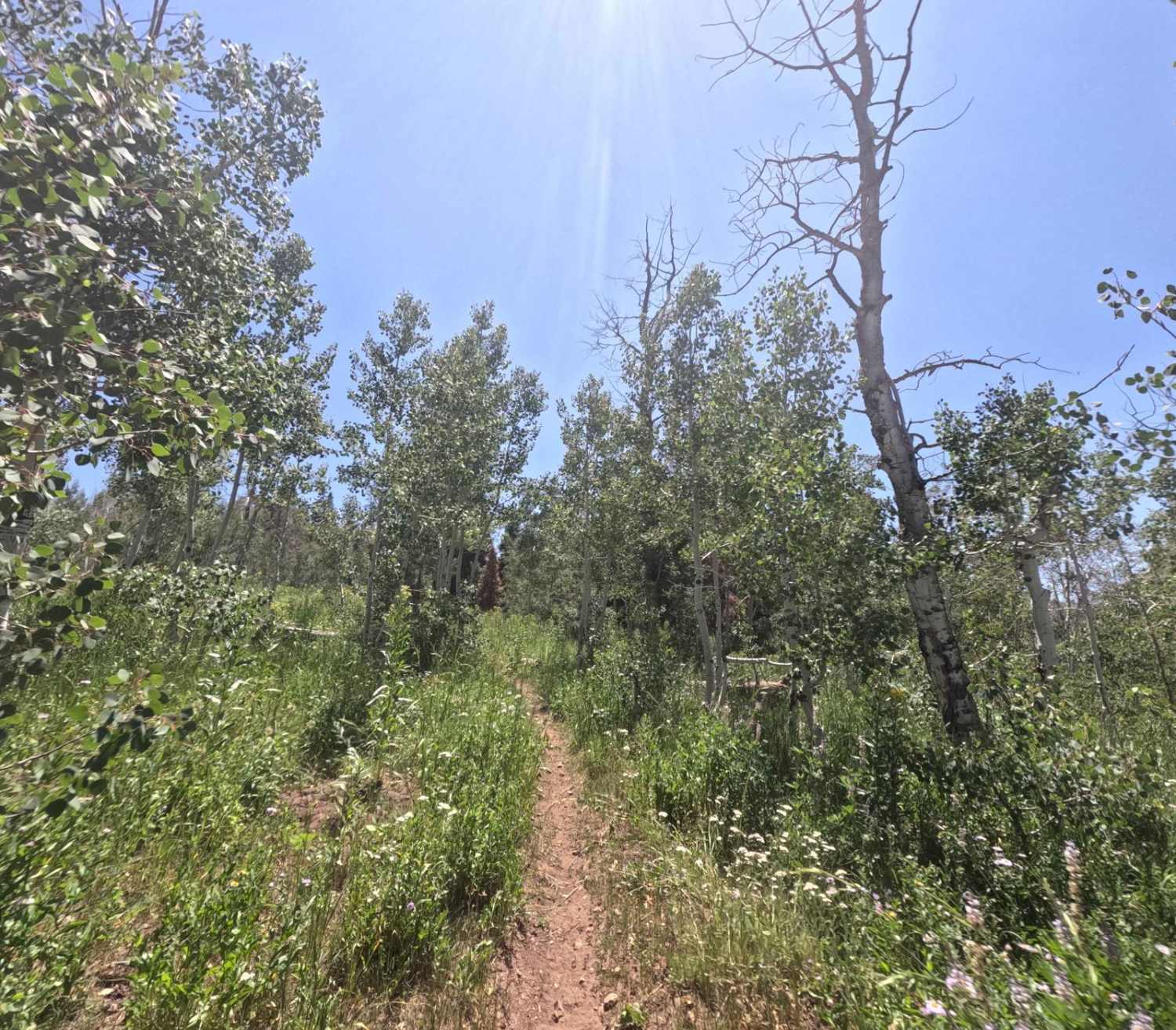
Lizard Lake - FS 8069
Total Miles
0.7
Tech Rating
Easy
Best Time
Summer, Fall
Learn more about Loa Great Western Trail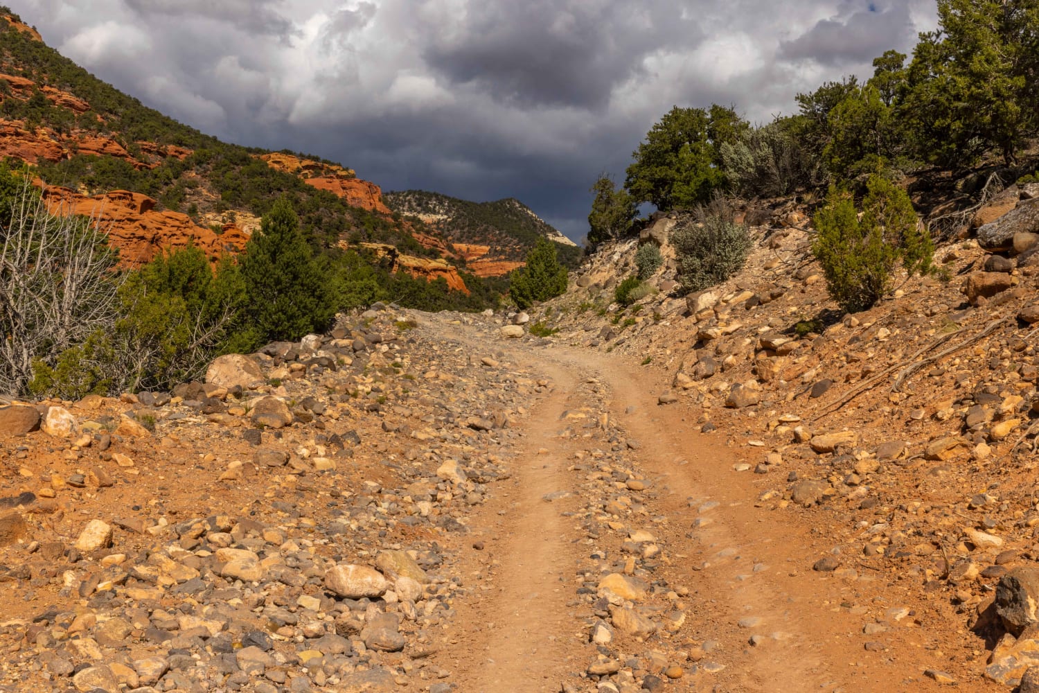
Loa Great Western Trail
Total Miles
20.6
Tech Rating
Easy
Best Time
Fall, Summer, Spring
Learn more about Loafer Mountain - FS 8098
Loafer Mountain - FS 8098
Total Miles
1.0
Tech Rating
Easy
Best Time
Summer, Fall
Learn more about Local Trail (FSR 33653/33652)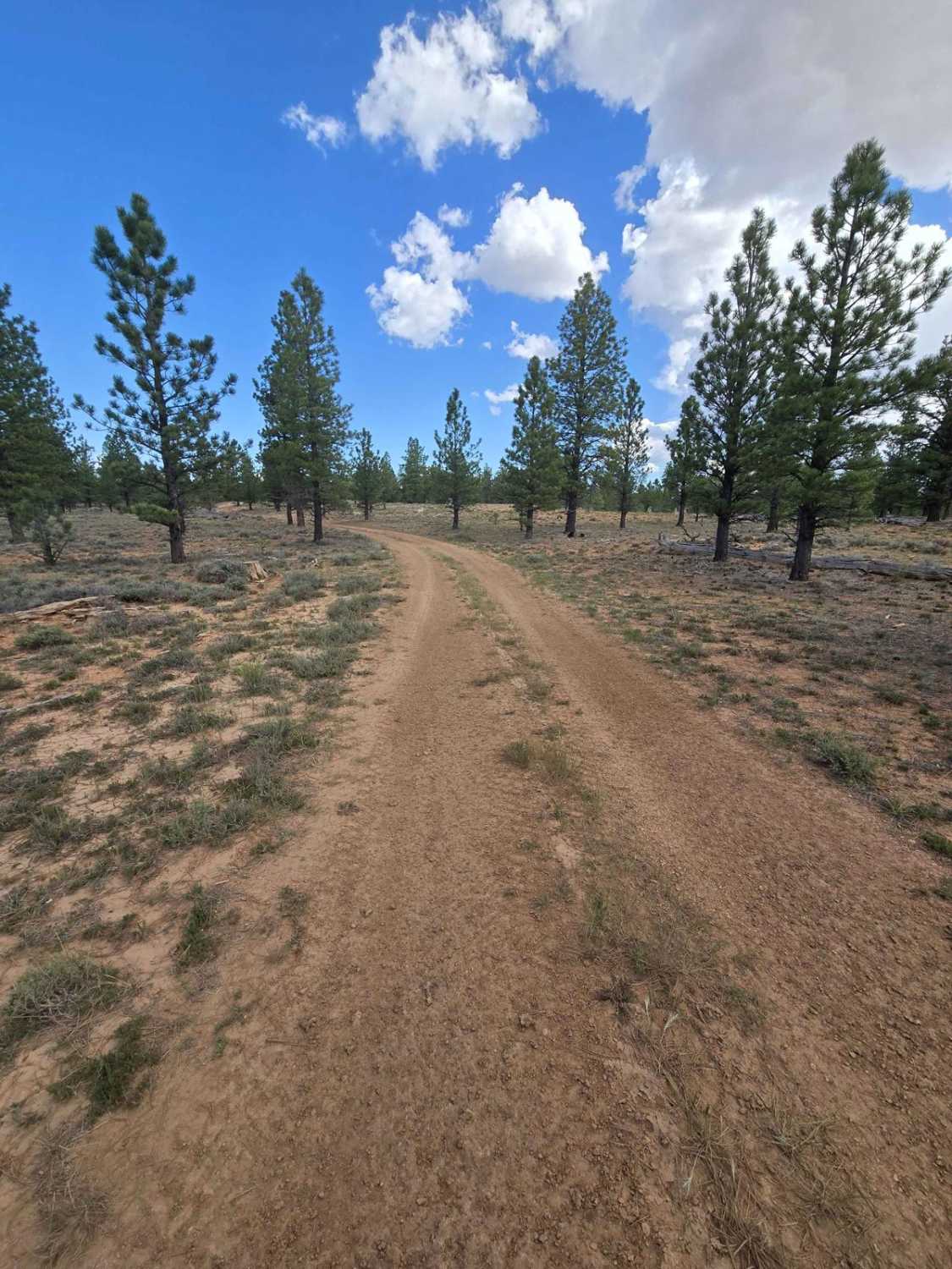
Local Trail (FSR 33653/33652)
Total Miles
2.4
Tech Rating
Easy
Best Time
Spring, Summer, Fall
Learn more about Lockhart Basin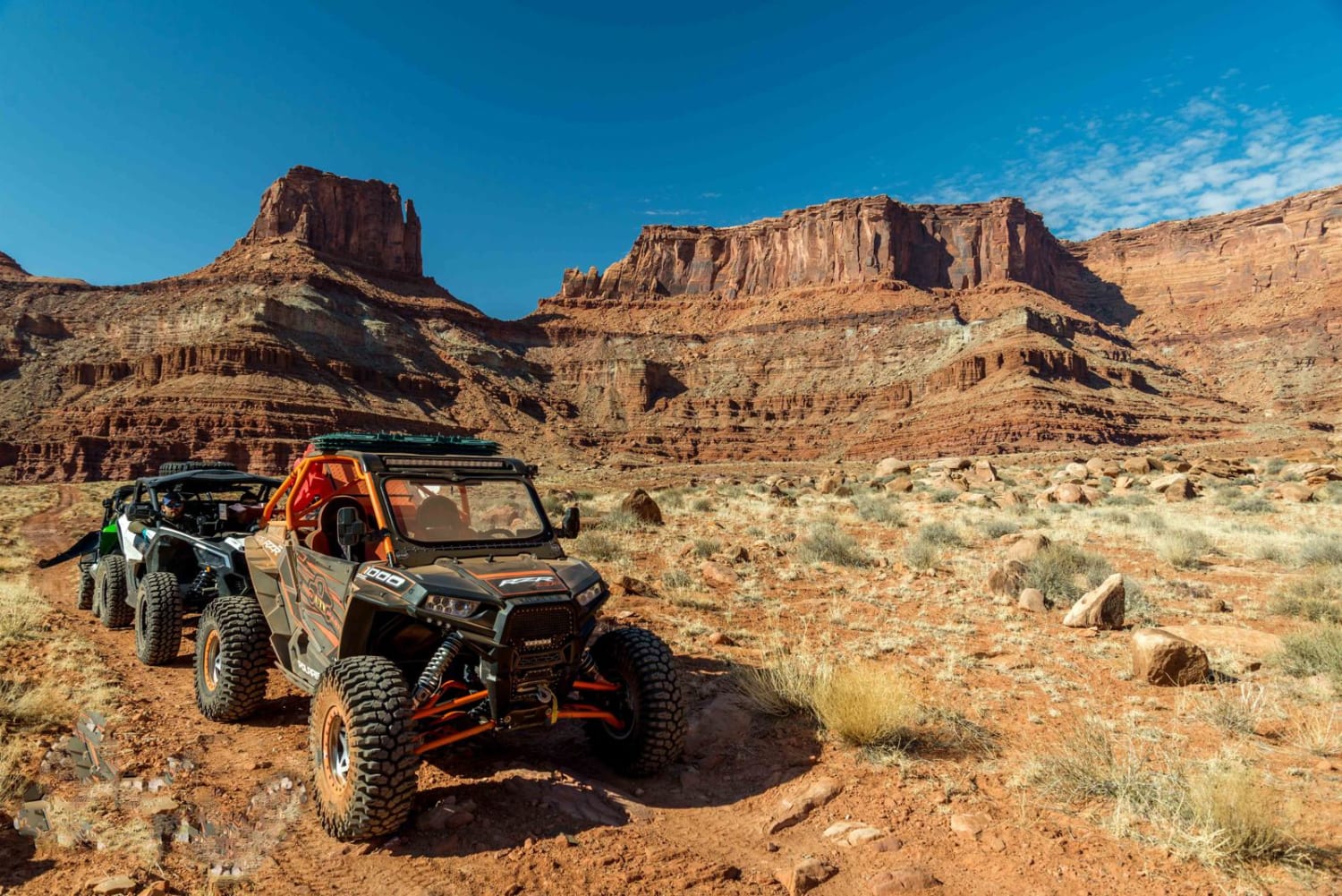
Lockhart Basin
Total Miles
37.4
Tech Rating
Moderate
Best Time
Spring, Summer, Fall
Learn more about Lockhart Canyon - CR122
Lockhart Canyon - CR122
Total Miles
5.3
Tech Rating
Easy
Best Time
Spring, Summer, Fall, Winter
ATV trails in Utah

Learn more about 14 Mile Road
14 Mile Road
Total Miles
14.7
Tech Rating
Easy
Best Time
Spring, Summer, Fall, Winter


UTV/side-by-side trails in Utah
Learn more about 14 Mile Road
14 Mile Road
Total Miles
14.7
Tech Rating
Easy
Best Time
Spring, Summer, Fall, Winter
The onX Offroad Difference
onX Offroad combines trail photos, descriptions, difficulty ratings, width restrictions, seasonality, and more in a user-friendly interface. Available on all devices, with offline access and full compatibility with CarPlay and Android Auto. Discover what you’re missing today!