Little Moab Trail
Total Miles
1.9
Technical Rating
Best Time
Spring, Summer, Fall, Winter
Trail Type
Full-Width Road
Accessible By
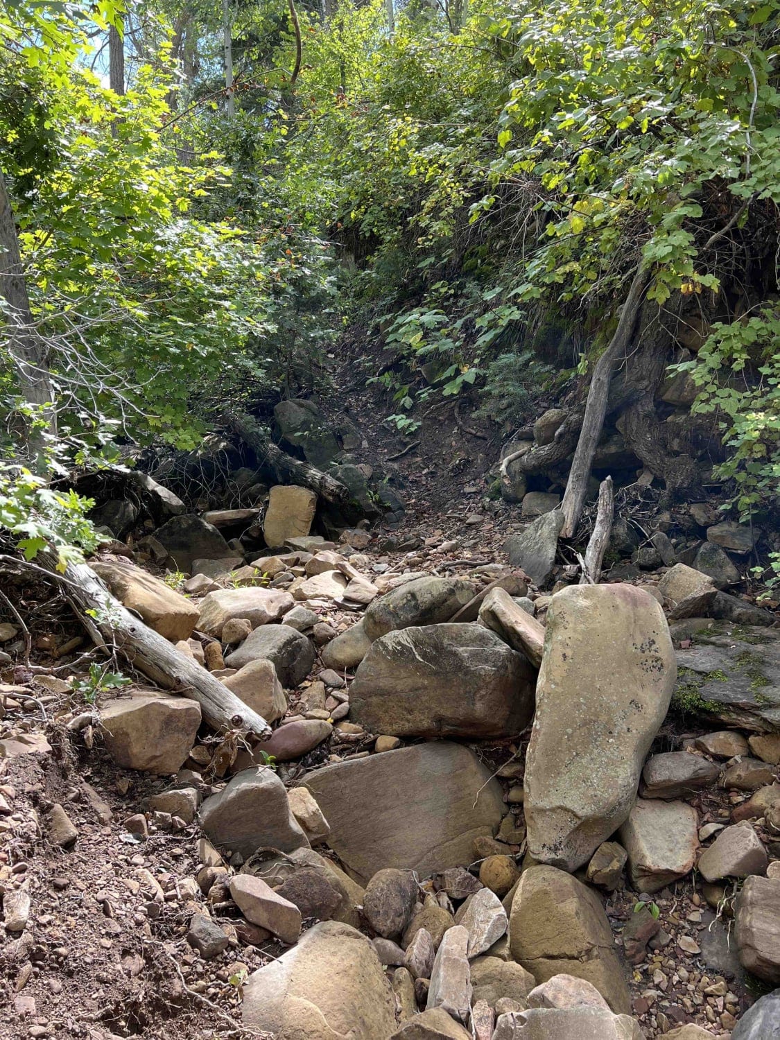
Trail Overview
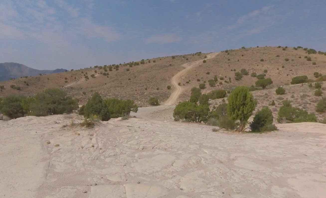
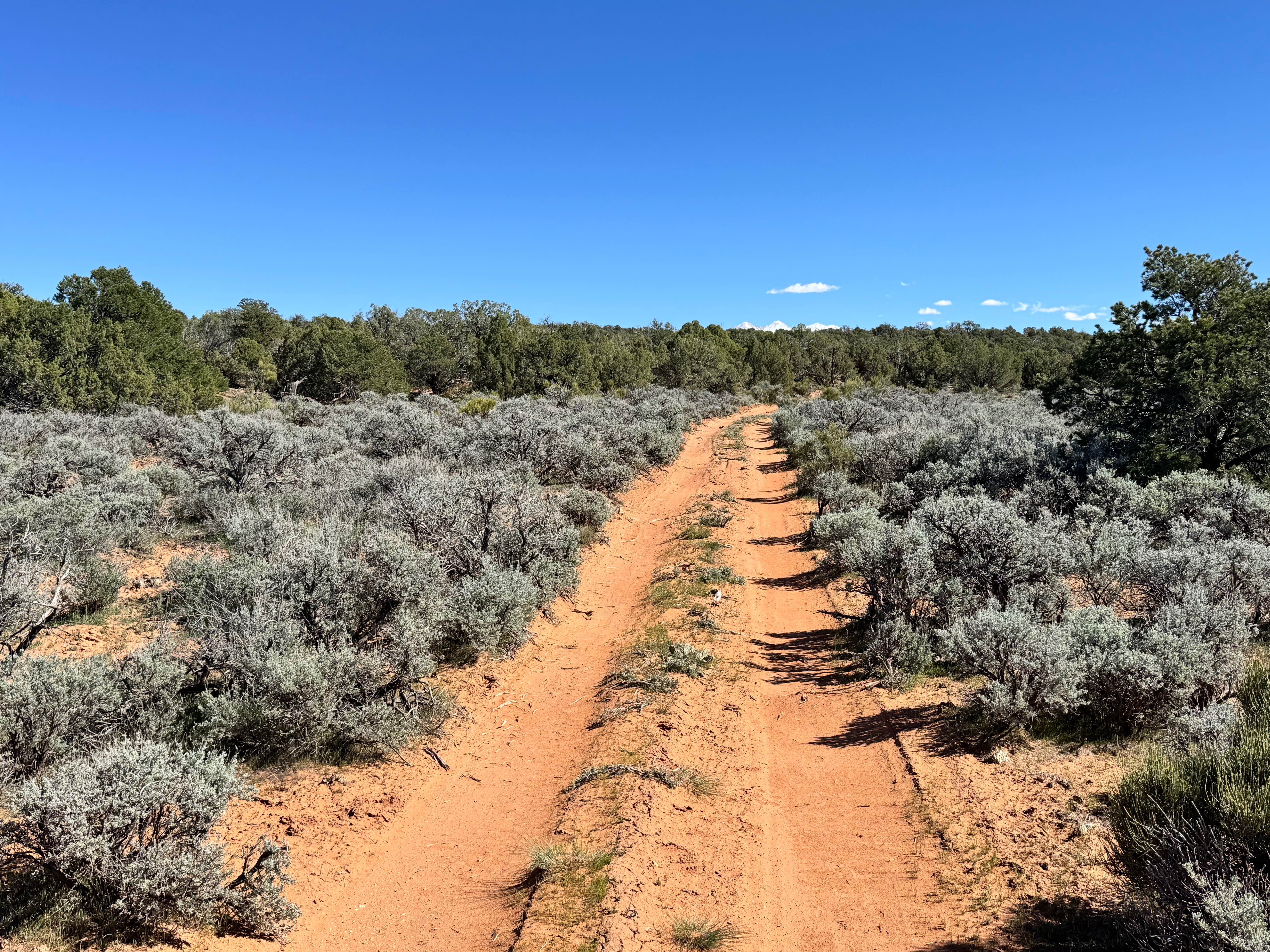
Little Moab Trail is a 1.9-mile point-to-point trail rated 3 of 10 located in Utah County. Little Moab is on the west side of Utah Lake and is popular for off-roading. Little Moab gets its name because the white rocks are similar to the red rock formations of Moab, Utah. Little Moab is a favorite rock crawling area with a little bit to offer everyone. From easy to really hard this is a great place to hone your rock crawling skills. Little Moab Trail creates a loop that starts and ends on Chimney Rock Pass and can be accessed from either end. The trail is hard-packed dirt and embedded rock. The trail loops from the main road up to the base of the slick rock area which is open for free-wheeling by any type of offroad vehicle. The area has multiple sites for camping around the trail area. Keep your eyes open for firepit rings which campers tend to burn pallets. Located across the road at the eastern trailhead is a geography feature called Chimney Rock and on the western trailhead is Chimney Rock Pass. What makes Little Moab attractive is the proximity to Salt Lake City and the communities on the western side of the Wasatch Range. Cell phone service is intermittent and the nearest services are in Eureka.
Photos of Little Moab Trail

Difficulty
Trail consisting of loose rocks, dirt, and sand with some slickrock surfaces, mud holes possible, no steps higher than 12". 4WD may be required, aggressive tires a plus.
Status Reports
Little Moab Trail can be accessed by the following ride types:
- High-Clearance 4x4
- SUV
- SxS (60")
- ATV (50")
- Dirt Bike
Little Moab Trail Map
Popular Trails
Professor Valley Rim
Hogs Back - FR 70094
Julius Pasture-South Fork Road
Right Fork Days Canyon (8004)
The onX Offroad Difference
onX Offroad combines trail photos, descriptions, difficulty ratings, width restrictions, seasonality, and more in a user-friendly interface. Available on all devices, with offline access and full compatibility with CarPlay and Android Auto. Discover what you’re missing today!