Little Valley - FR 70121
Total Miles
2.8
Technical Rating
Best Time
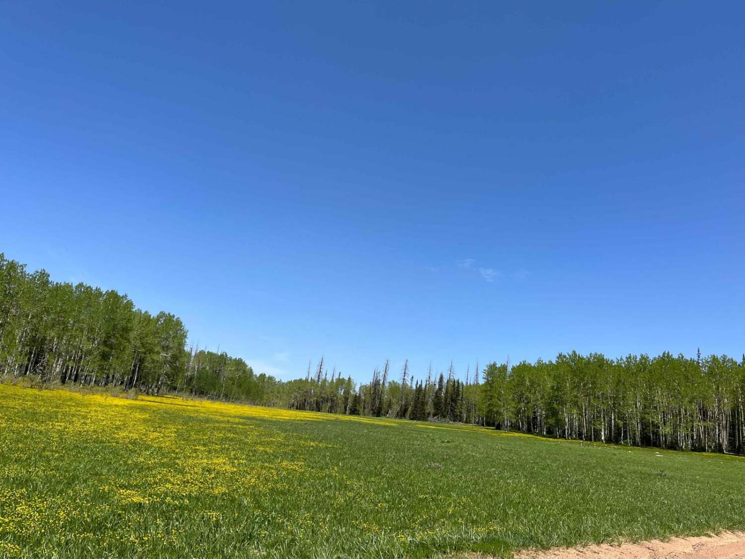
Summer, Fall
Trail Type
Full-Width Road
Accessible By
Trail Overview
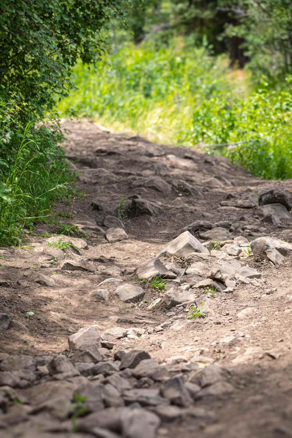
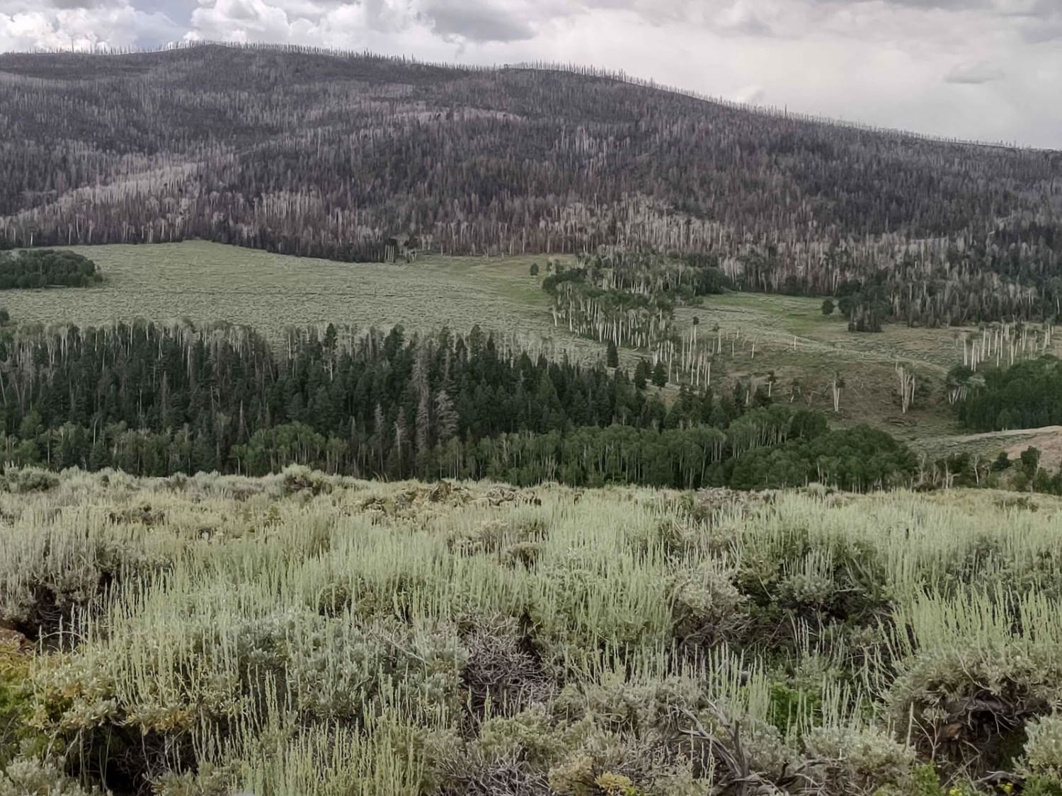
Entering the Uinta National Forest just south of Wallsburg, Little Valley (FR 70121) provides access to a network of other trails such as Wing Flat (FR 70619), Little Valley Spring (FR 70431), and North Rattlesnake (FR 70618). The trail is narrow and can feel somewhat restricting to larger vehicles at times. On the north end of the road, there is a rocky incline with loose rocks that are the size of watermelons and a little larger. Just south of that, the road drops to a shallow water crossing. In spring, early summer, or seasons with a lot of water runoff, this road may have deep crossings and mud puddles. But other sections of the trail are flat with few obstacles and easy to navigate. North of the intersection with Wing Flat (FR 70619), there is another wet section with a wide water crossing and a stream that flows on top of the rock-covered road for a short distance. Also expect a few rutted, rocky roads, and some ruts as deep as 18 inches. Watch for livestock in the area. All highway legal vehicles are permitted on this road.
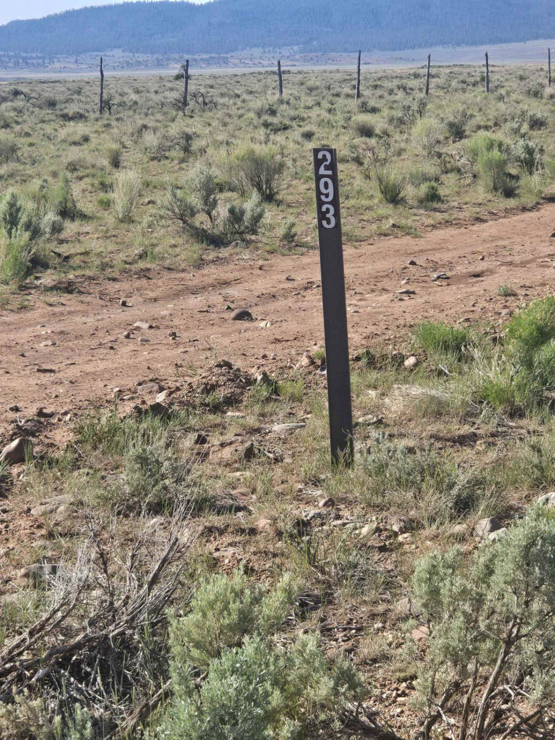
Photos of Little Valley - FR 70121

Difficulty
This road is rocky with potential water crossings a foot deep or more, depending on snowmelt and other weather conditions. Watch for ruts up to 18 inches deep.
Status Reports
Little Valley - FR 70121 can be accessed by the following ride types:
- High-Clearance 4x4
- SUV
- SxS (60")
- ATV (50")
- Dirt Bike
Little Valley - FR 70121 Map
Popular Trails
Interconnect Spur (FS 41186, 42468)
Strawberry Mountain
Gussie Draw Trail
The onX Offroad Difference
onX Offroad combines trail photos, descriptions, difficulty ratings, width restrictions, seasonality, and more in a user-friendly interface. Available on all devices, with offline access and full compatibility with CarPlay and Android Auto. Discover what you’re missing today!