Off-Road Trails in Utah
Discover off-road trails in Utah
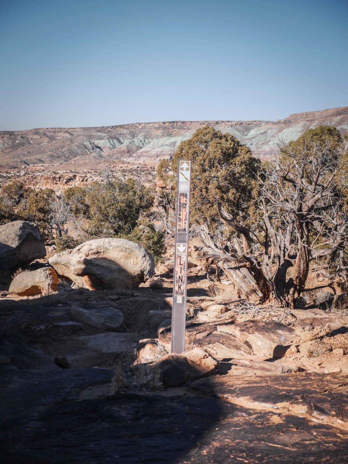
Learn more about Link 4 (Easy) 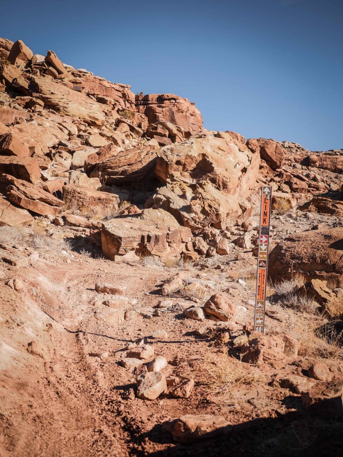
Link 4 (Easy)
Total Miles
0.3
Tech Rating
Easy
Best Time
Spring, Winter, Fall
Learn more about Little Aspen Loop
Little Aspen Loop
Total Miles
1.3
Tech Rating
Easy
Best Time
Spring, Summer, Fall
Learn more about Little Aspen Ridge
Little Aspen Ridge
Total Miles
0.7
Tech Rating
Easy
Best Time
Spring, Summer, Fall
Learn more about Little Canyon Point
Little Canyon Point
Total Miles
2.2
Tech Rating
Moderate
Best Time
Spring, Fall, Summer
Learn more about Little Canyon Trail
Little Canyon Trail
Total Miles
1.9
Tech Rating
Moderate
Best Time
Spring, Summer, Fall
Learn more about Little Creek Lookout Loop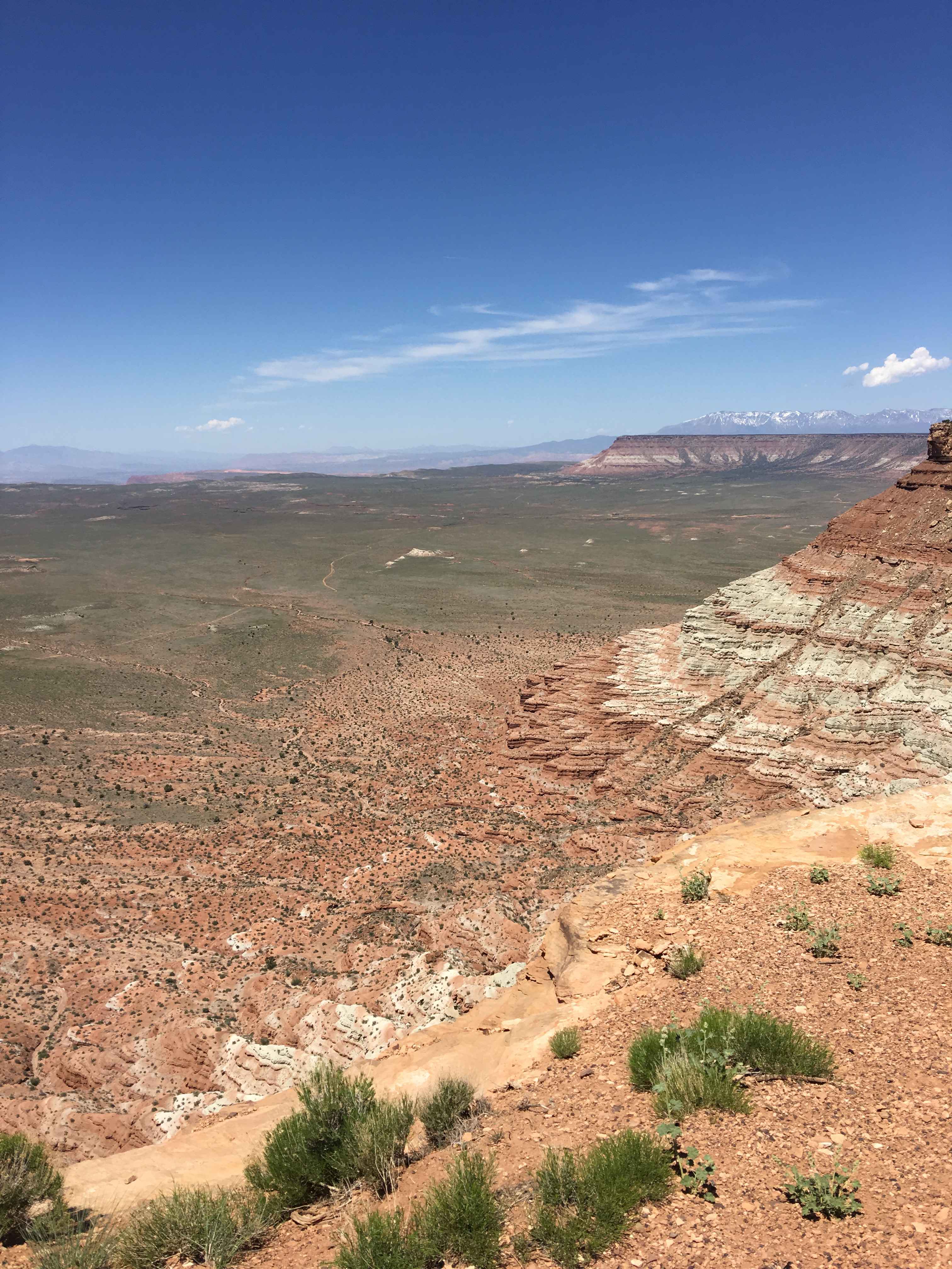
Little Creek Lookout Loop
Total Miles
2.8
Tech Rating
Easy
Best Time
Spring, Summer, Fall, Winter
Learn more about Little Creek Mesa
Little Creek Mesa
Total Miles
28.0
Tech Rating
Easy
Best Time
Spring, Summer, Fall, Winter
Learn more about Little Creek Ridge View Road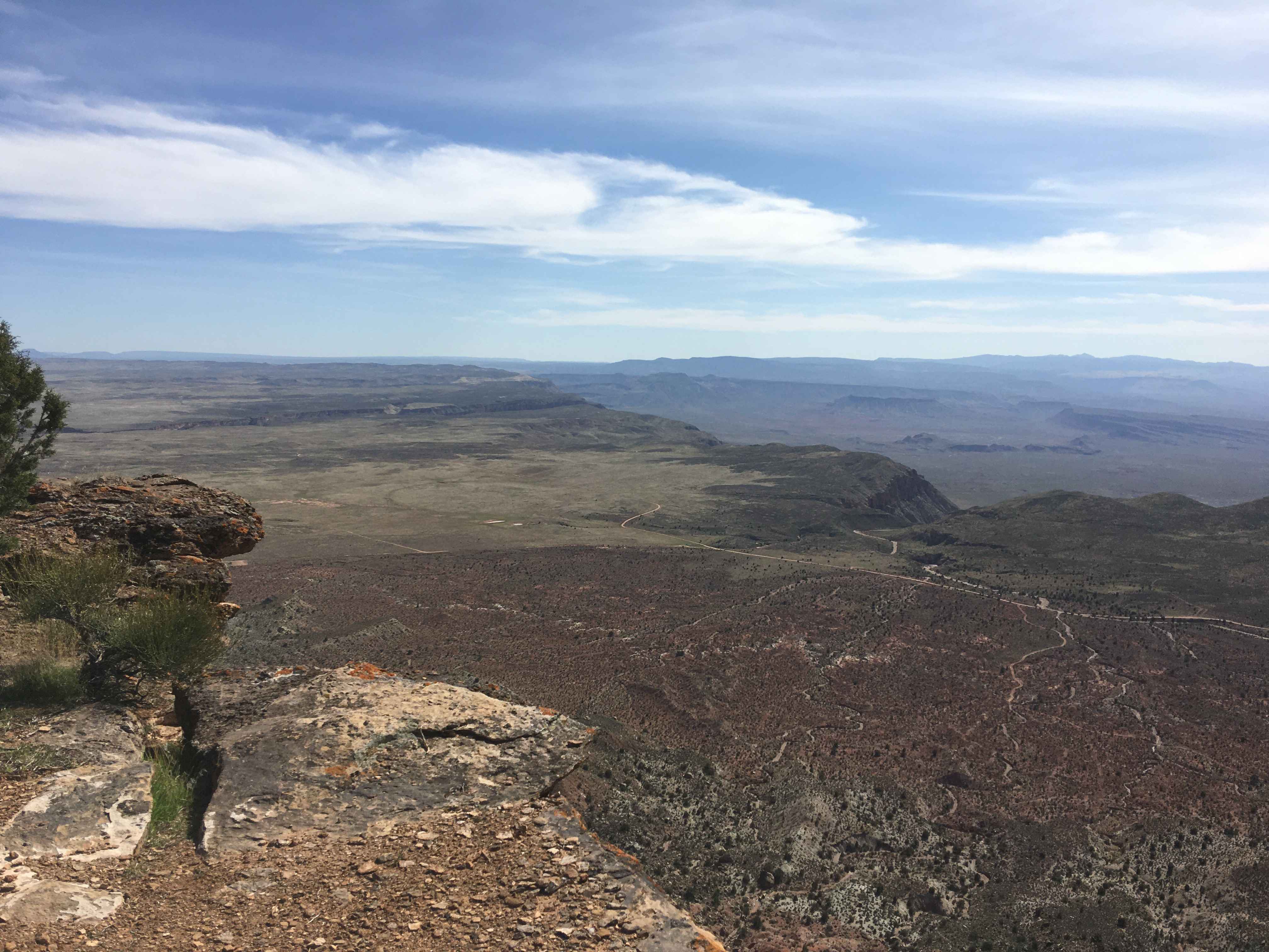
Little Creek Ridge View Road
Total Miles
1.6
Tech Rating
Easy
Best Time
Spring, Fall, Winter, Summer
Learn more about Little Creek Road East
Little Creek Road East
Total Miles
8.3
Tech Rating
Easy
Best Time
Spring, Summer, Fall
Learn more about Little Creek Road West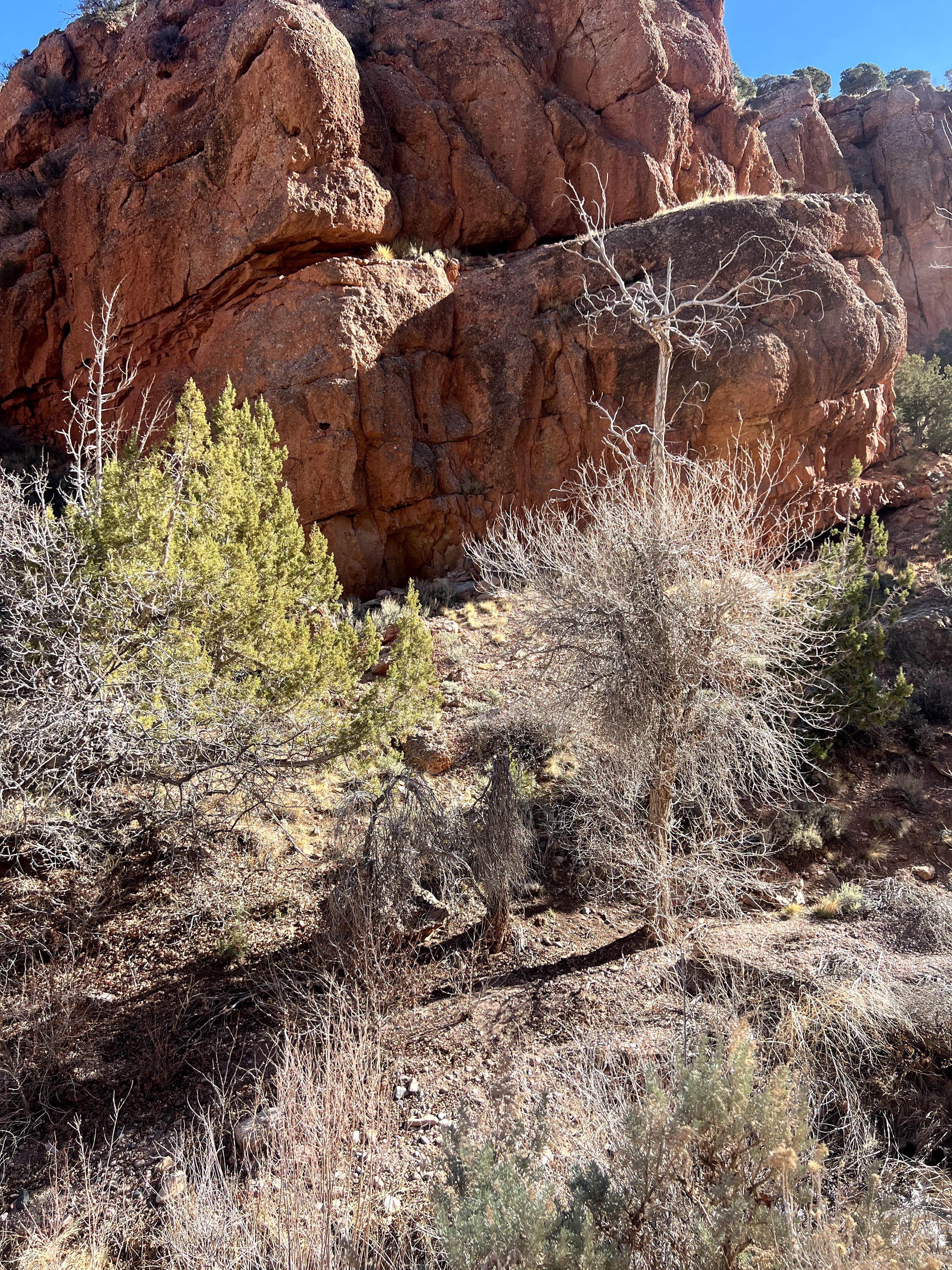
Little Creek Road West
Total Miles
7.3
Tech Rating
Easy
Best Time
Spring, Summer, Fall
Learn more about Little Diamond (8016)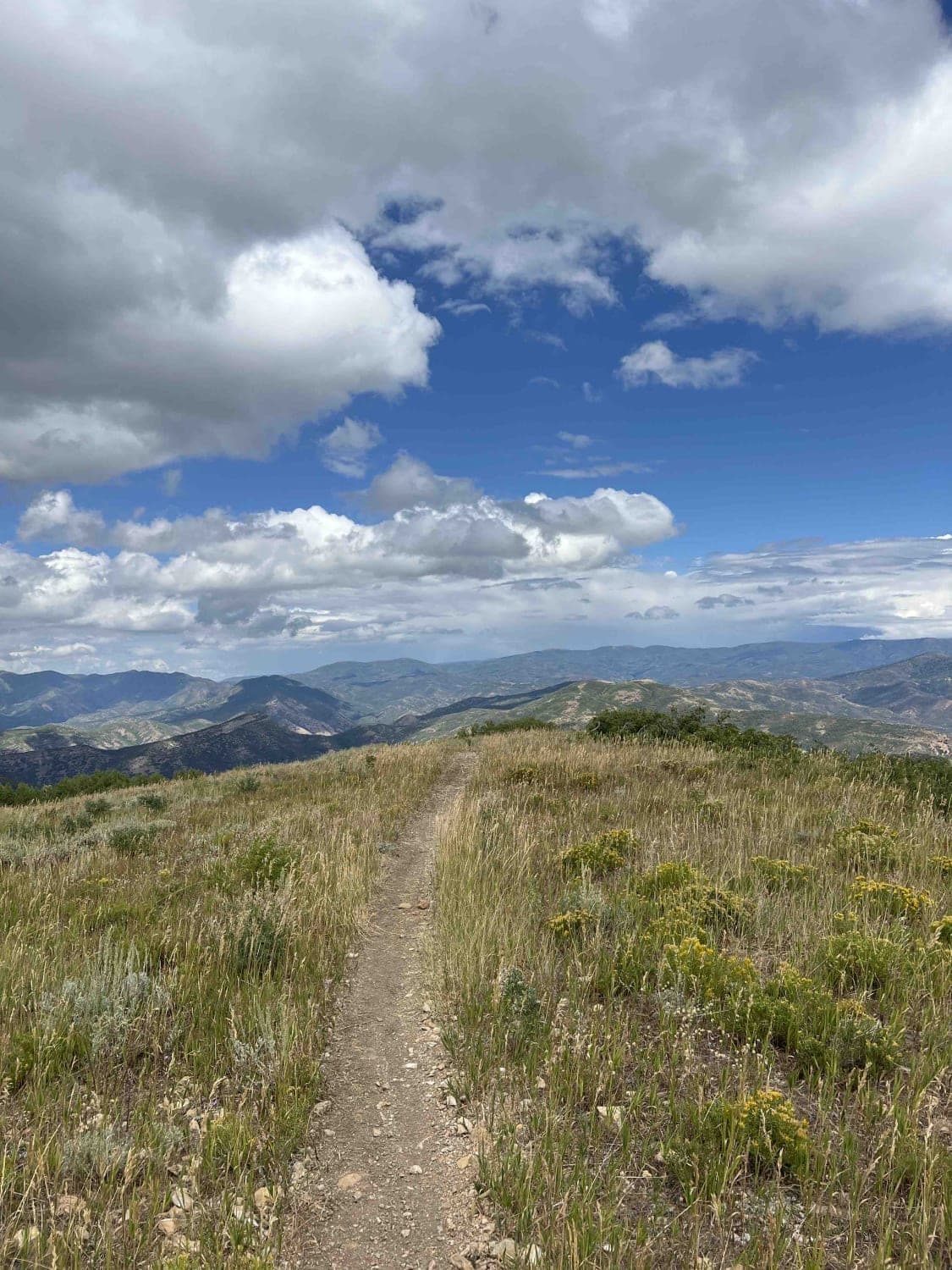
Little Diamond (8016)
Total Miles
4.3
Tech Rating
Moderate
Best Time
Fall, Summer
Learn more about Little Drum Pass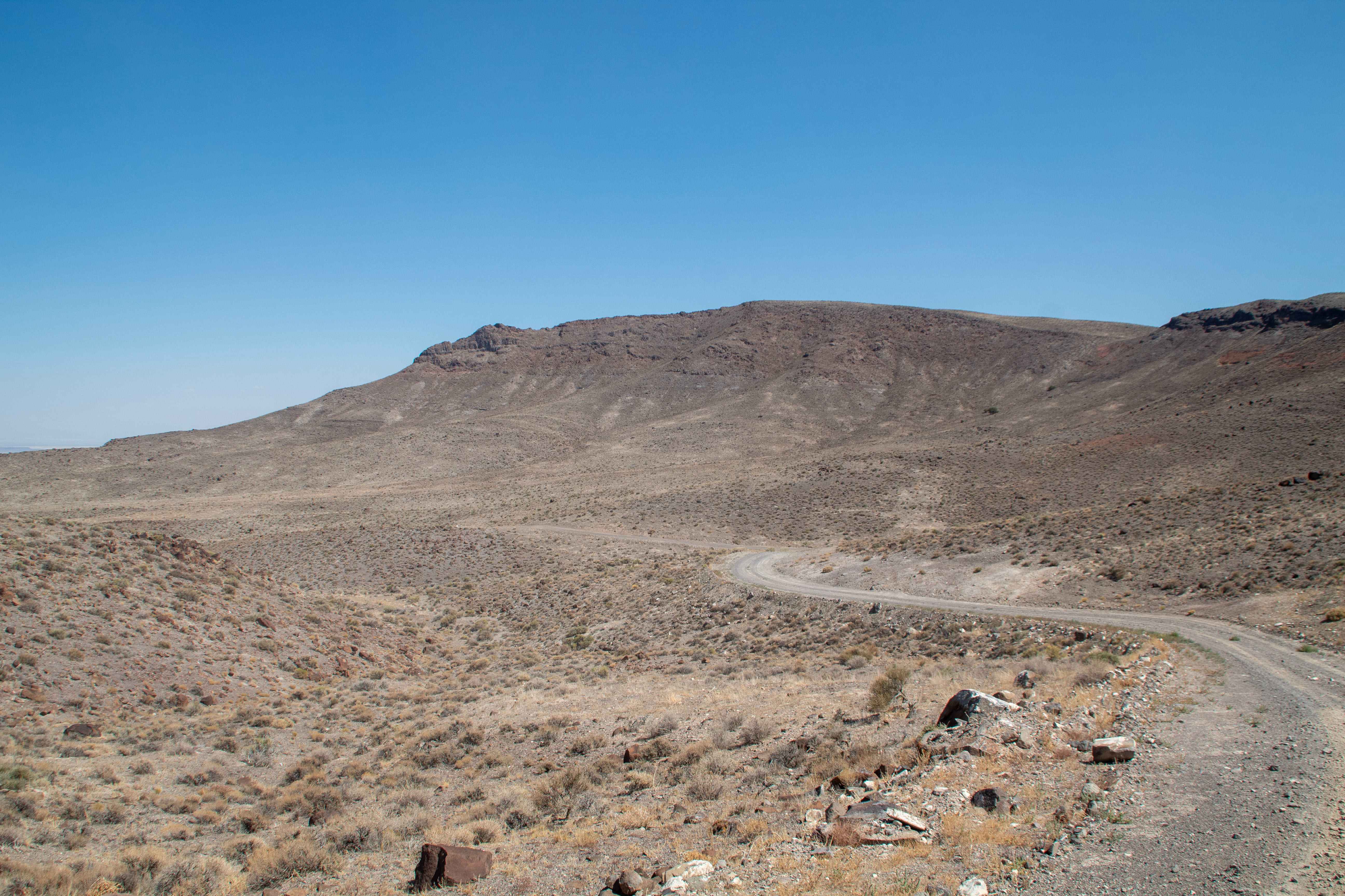
Little Drum Pass
Total Miles
24.9
Tech Rating
Easy
Best Time
Spring, Summer, Fall, Winter
Learn more about Little Eva Mine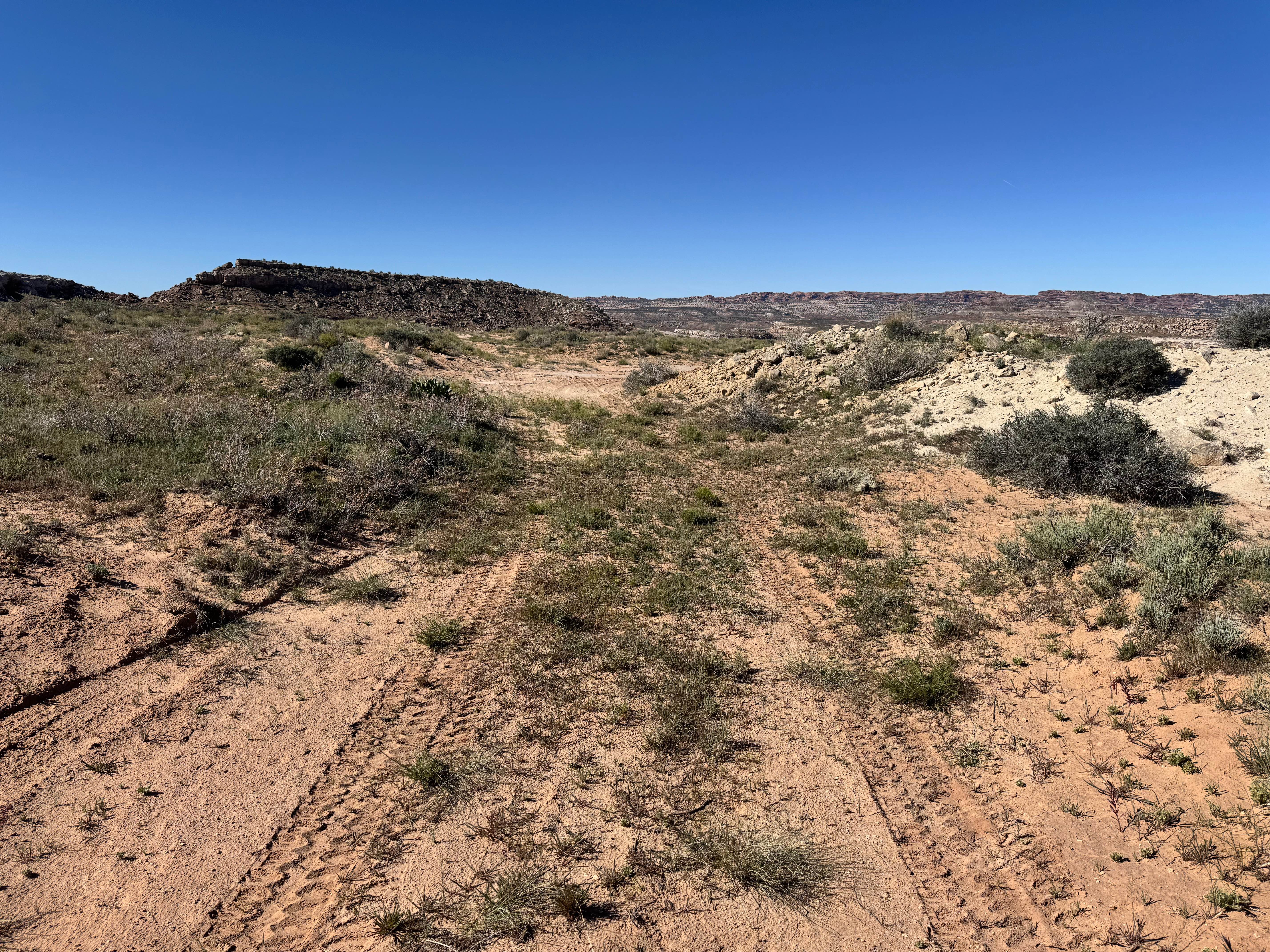
Little Eva Mine
Total Miles
0.7
Tech Rating
Moderate
Best Time
Spring, Summer, Fall, Winter
Learn more about Little Goblin Valley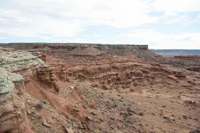
Little Goblin Valley
Total Miles
0.7
Tech Rating
Easy
Best Time
Spring, Summer, Fall
Learn more about Little Hole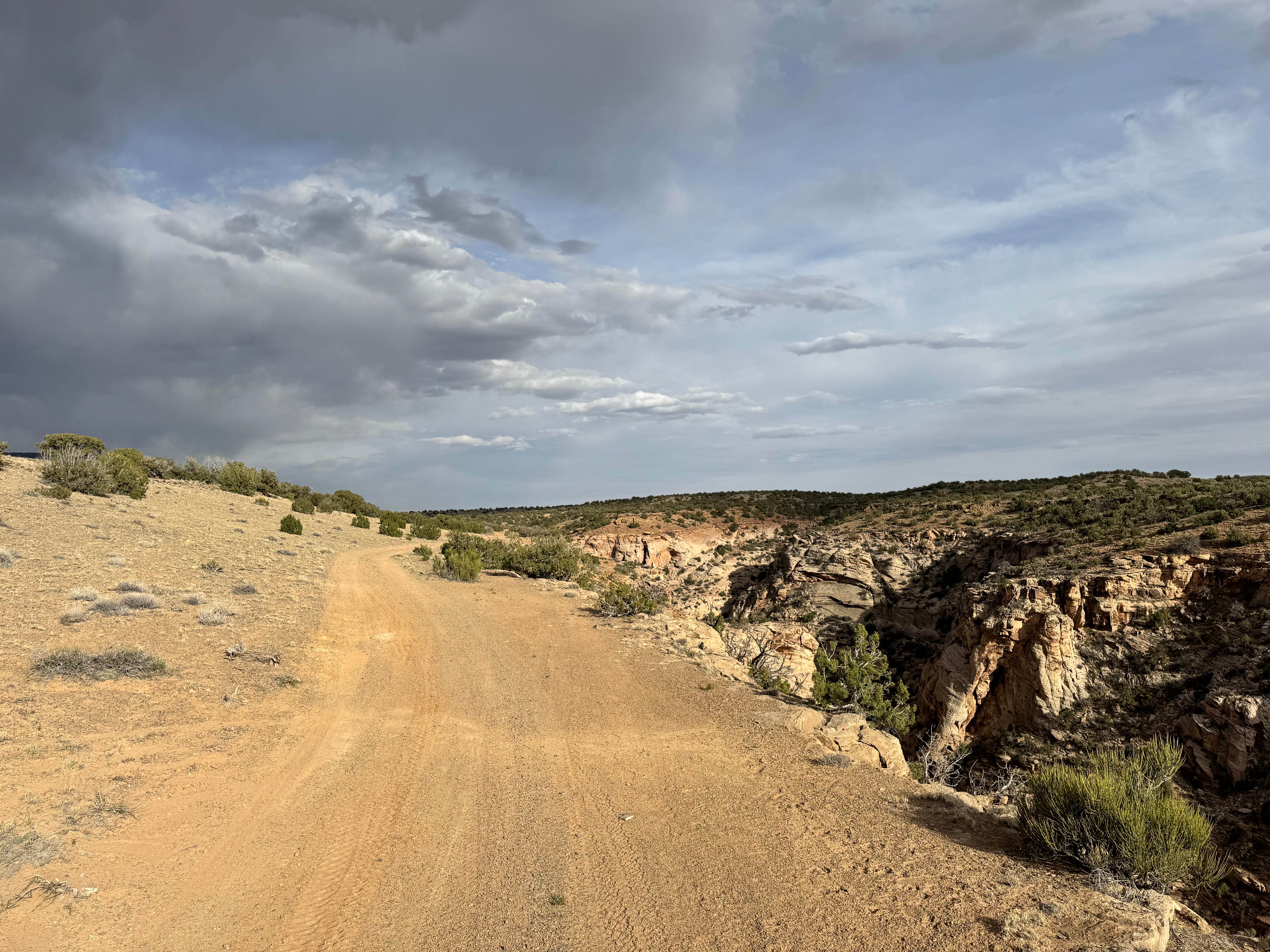
Little Hole
Total Miles
1.4
Tech Rating
Easy
Best Time
Spring, Summer, Fall, Winter
Learn more about Little Hole Cutoff
Little Hole Cutoff
Total Miles
1.3
Tech Rating
Easy
Best Time
Spring, Summer, Fall, Winter
Learn more about Little Lost Creek
Little Lost Creek
Total Miles
4.4
Tech Rating
Easy
Best Time
Spring, Summer, Fall, Winter
Learn more about Little Lost Creek South- FS 40052
Little Lost Creek South- FS 40052
Total Miles
6.3
Tech Rating
Easy
Best Time
Spring, Summer, Fall
ATV trails in Utah

Learn more about 14 Mile Road
14 Mile Road
Total Miles
14.7
Tech Rating
Easy
Best Time
Spring, Summer, Fall, Winter


UTV/side-by-side trails in Utah
Learn more about 14 Mile Road
14 Mile Road
Total Miles
14.7
Tech Rating
Easy
Best Time
Spring, Summer, Fall, Winter
The onX Offroad Difference
onX Offroad combines trail photos, descriptions, difficulty ratings, width restrictions, seasonality, and more in a user-friendly interface. Available on all devices, with offline access and full compatibility with CarPlay and Android Auto. Discover what you’re missing today!