Off-Road Trails in Utah
Discover off-road trails in Utah
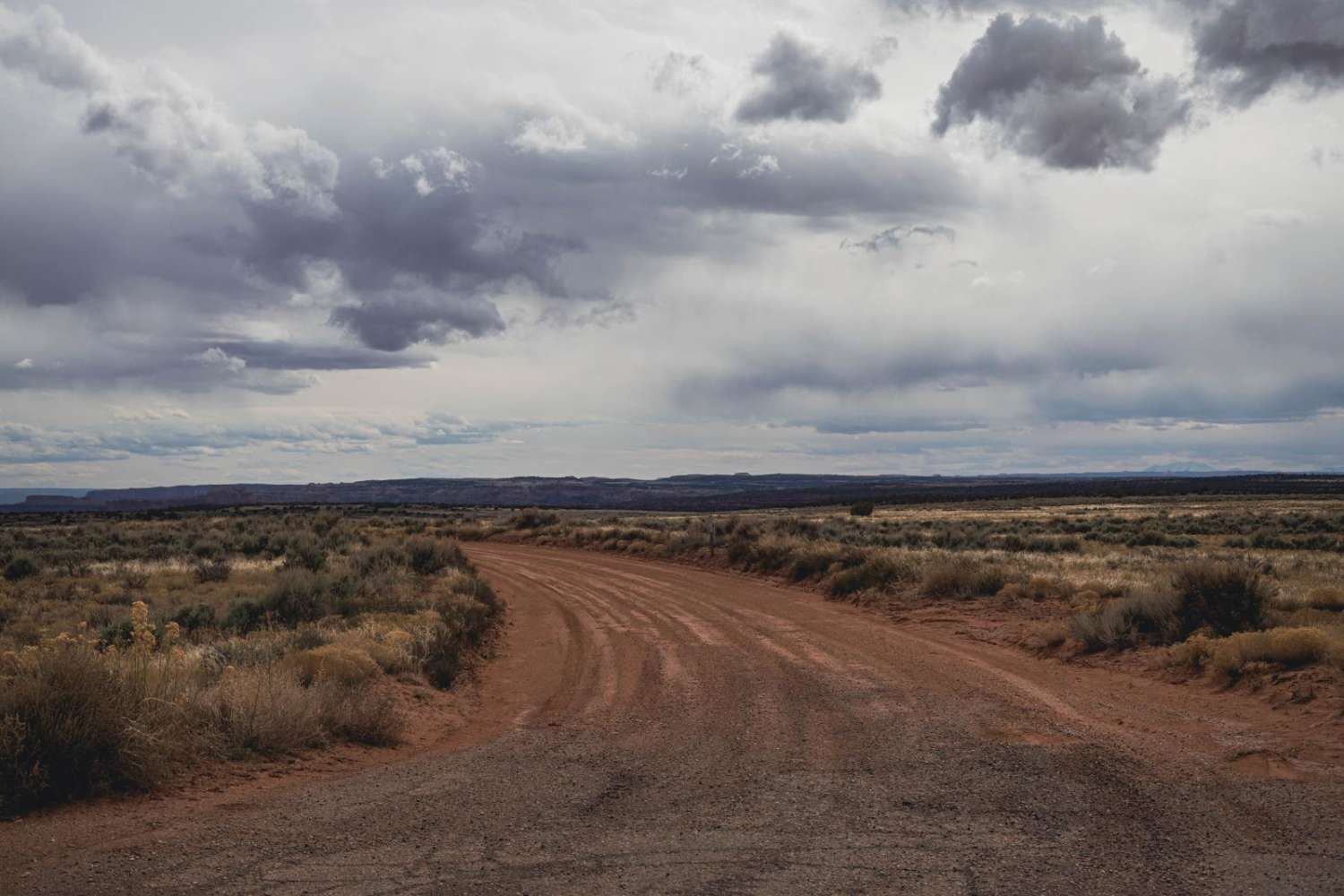
Learn more about Meadow Canyon Road-FS30010
Meadow Canyon Road-FS30010
Total Miles
6.5
Tech Rating
Easy
Best Time
Spring, Summer, Fall, Winter
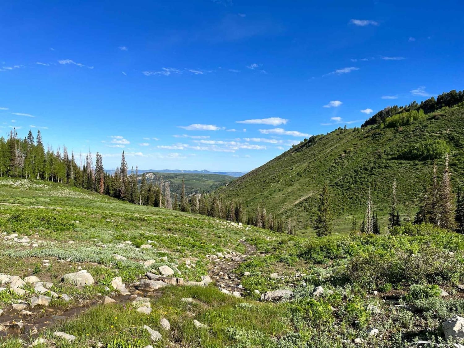
Learn more about Meadow Creek - FS 80071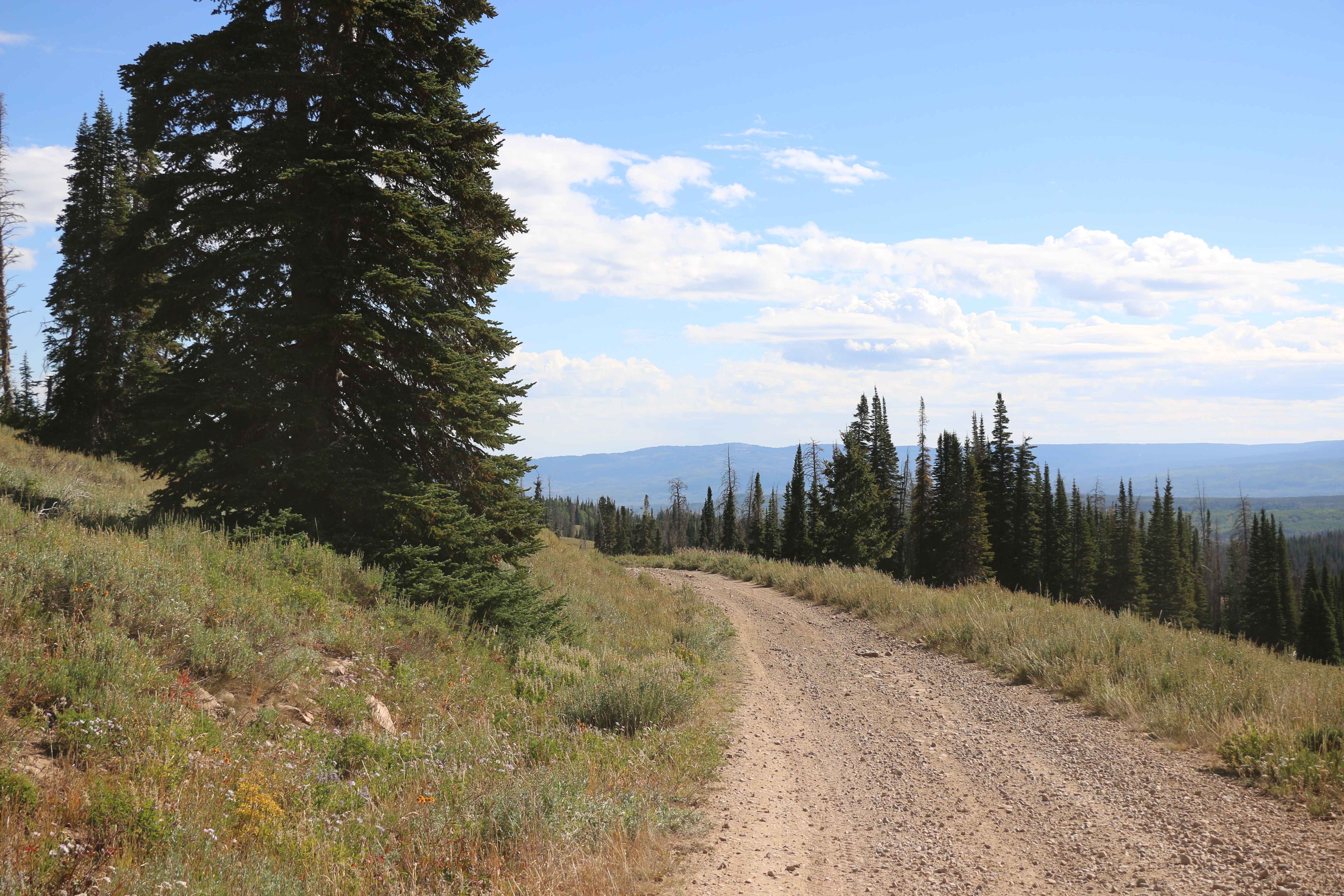
Meadow Creek - FS 80071
Total Miles
3.3
Tech Rating
Easy
Best Time
Spring, Summer, Fall
Learn more about Meadow Gulch Trail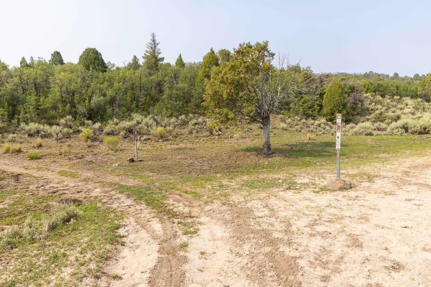
Meadow Gulch Trail
Total Miles
1.8
Tech Rating
Easy
Best Time
Fall, Summer, Spring
Learn more about Meadow Hot Springs Road
Meadow Hot Springs Road
Total Miles
5.8
Tech Rating
Easy
Best Time
Fall, Spring, Winter
Learn more about Meadow Valley 
Meadow Valley
Total Miles
18.2
Tech Rating
Easy
Best Time
Spring, Summer, Fall
Learn more about Mesa Top Cut-Across
Mesa Top Cut-Across
Total Miles
4.8
Tech Rating
Easy
Best Time
Spring, Summer, Fall, Winter
Learn more about Metal Masher - Part 1
Metal Masher - Part 1
Total Miles
7.2
Tech Rating
Difficult
Best Time
Spring
Learn more about Mexican Hat Ranch Road
Mexican Hat Ranch Road
Total Miles
2.8
Tech Rating
Moderate
Best Time
Spring, Fall
Learn more about Middle Fork Summerville Wash
Middle Fork Summerville Wash
Total Miles
4.4
Tech Rating
Moderate
Best Time
Spring, Fall, Winter
Learn more about Middle Highlands - Single Track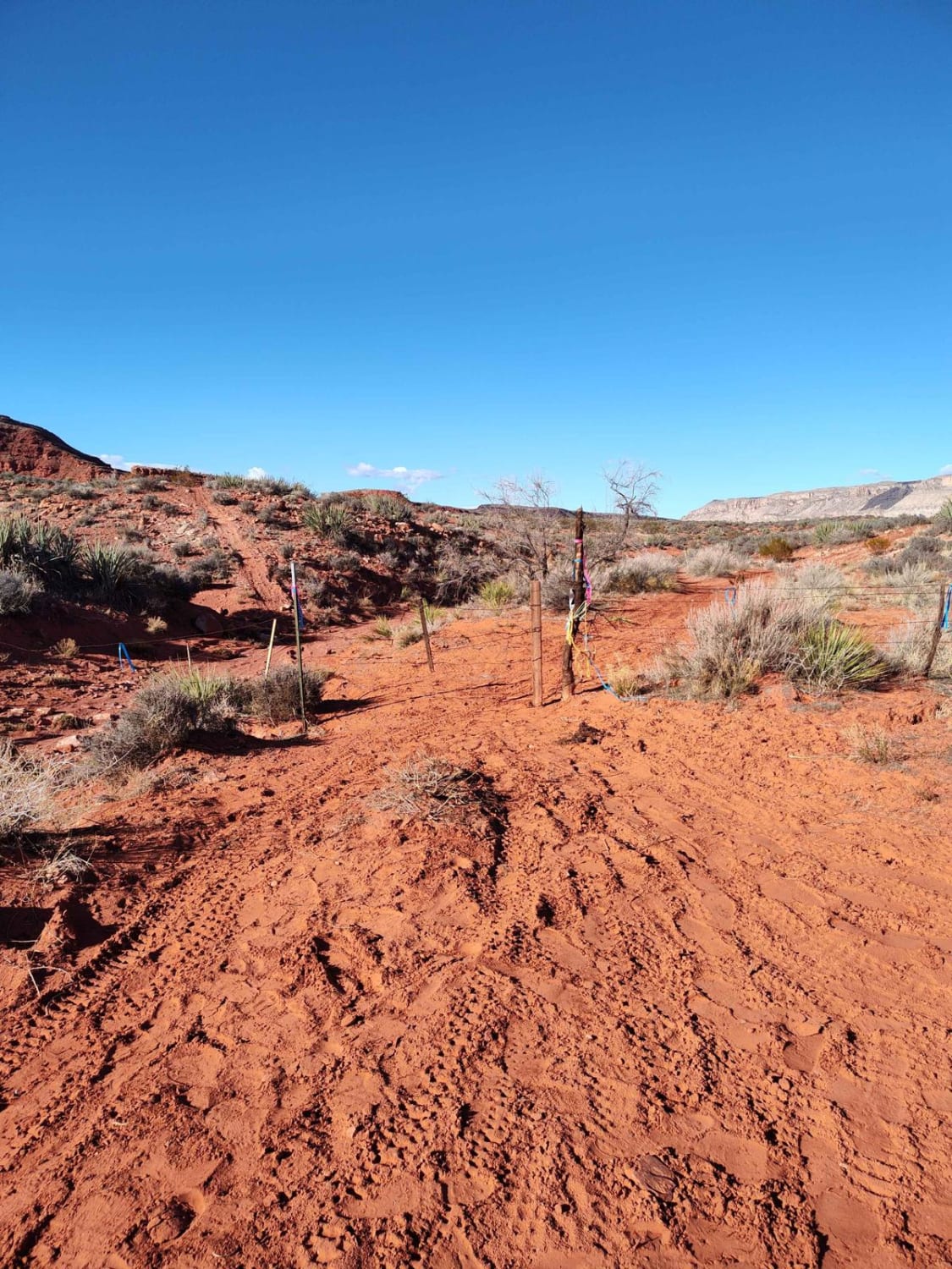
Middle Highlands - Single Track
Total Miles
7.4
Tech Rating
Moderate
Best Time
Spring, Summer, Fall, Winter
Learn more about Middle Mountain Ridge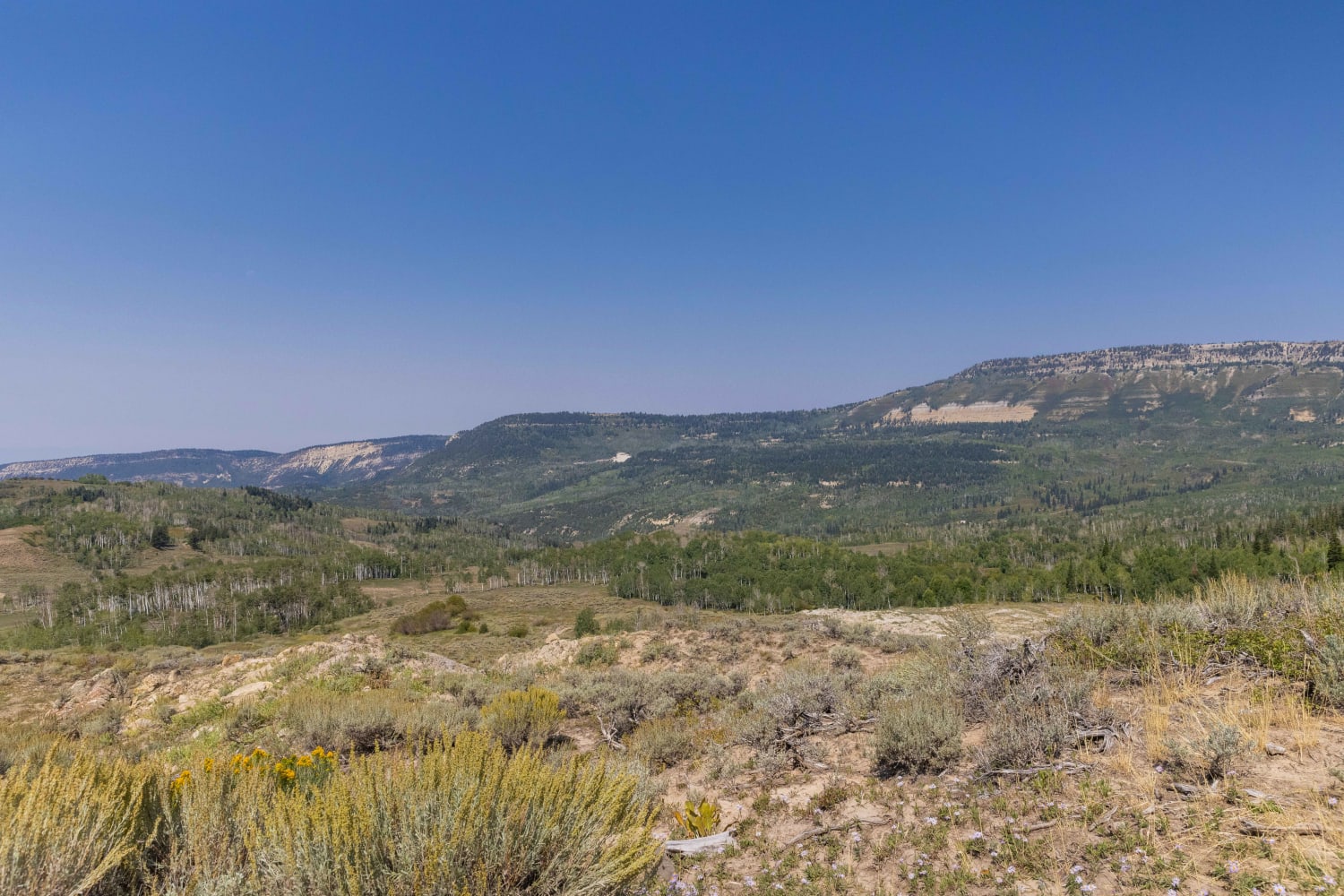
Middle Mountain Ridge
Total Miles
2.8
Tech Rating
Moderate
Best Time
Spring, Summer, Fall
Learn more about Mill B Road 70093
Mill B Road 70093
Total Miles
4.2
Tech Rating
Easy
Best Time
Summer, Fall, Spring
Learn more about Mill Canyon (2040)
Mill Canyon (2040)
Total Miles
5.6
Tech Rating
Moderate
Best Time
Summer, Fall
Learn more about Mill Canyon Spring, 70180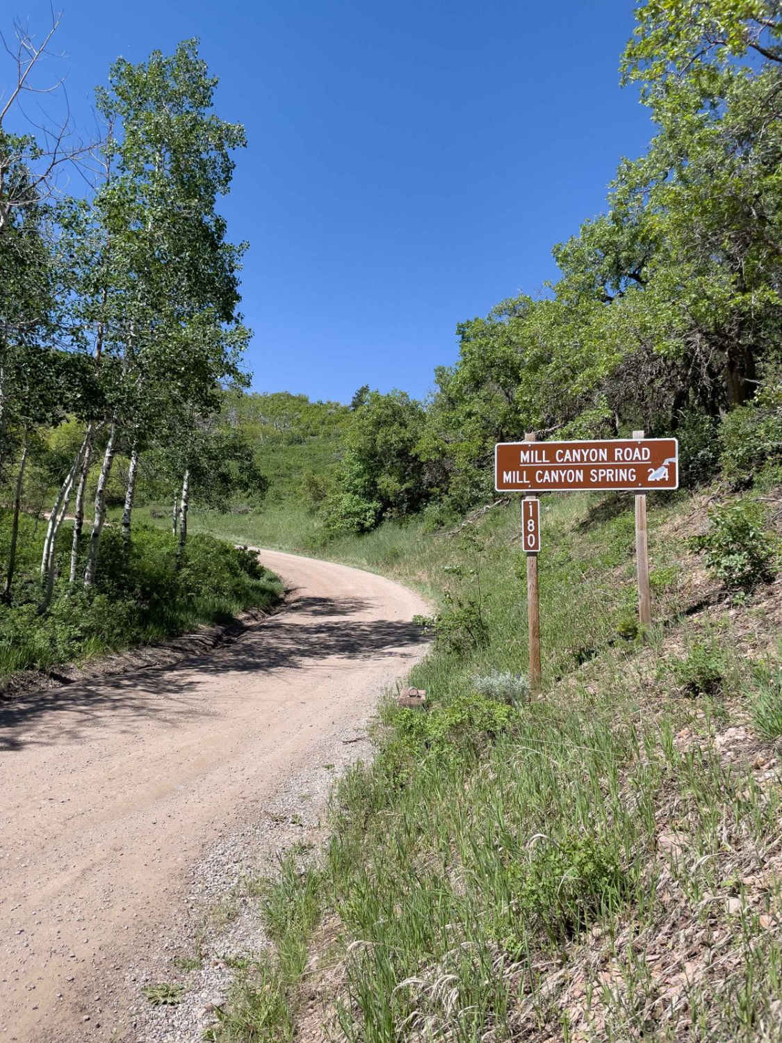
Mill Canyon Spring, 70180
Total Miles
2.4
Tech Rating
Easy
Best Time
Summer, Fall
ATV trails in Utah

Learn more about 14 Mile Road
14 Mile Road
Total Miles
14.7
Tech Rating
Easy
Best Time
Spring, Summer, Fall, Winter


UTV/side-by-side trails in Utah
Learn more about 14 Mile Road
14 Mile Road
Total Miles
14.7
Tech Rating
Easy
Best Time
Spring, Summer, Fall, Winter
The onX Offroad Difference
onX Offroad combines trail photos, descriptions, difficulty ratings, width restrictions, seasonality, and more in a user-friendly interface. Available on all devices, with offline access and full compatibility with CarPlay and Android Auto. Discover what you’re missing today!