Middle Fork Summerville Wash
Total Miles
4.4
Technical Rating
Best Time
Spring, Fall, Winter
Trail Type
Single Track
Accessible By
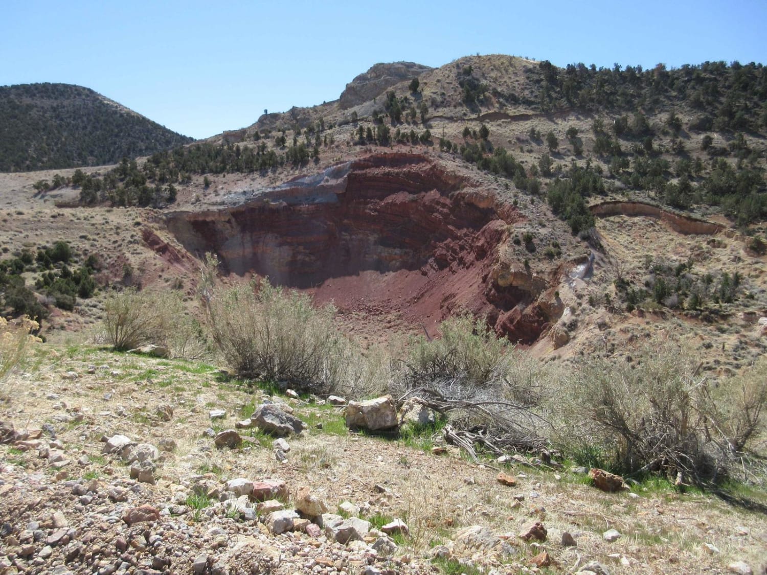
Trail Overview
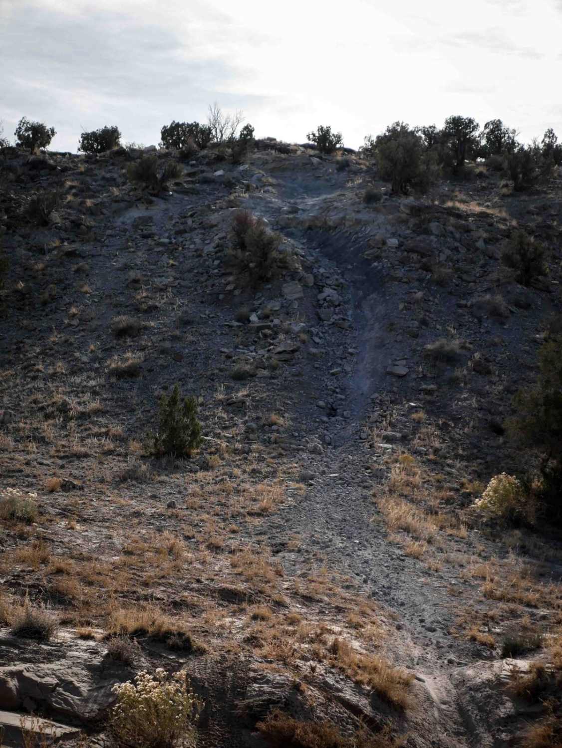
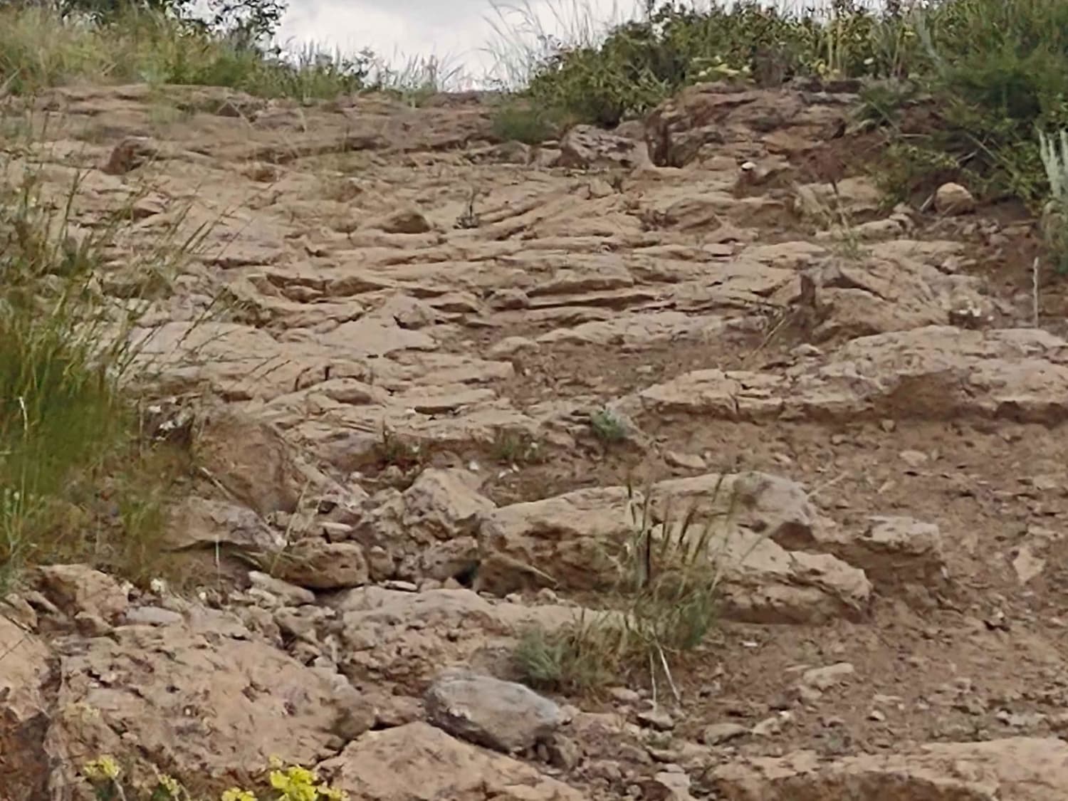
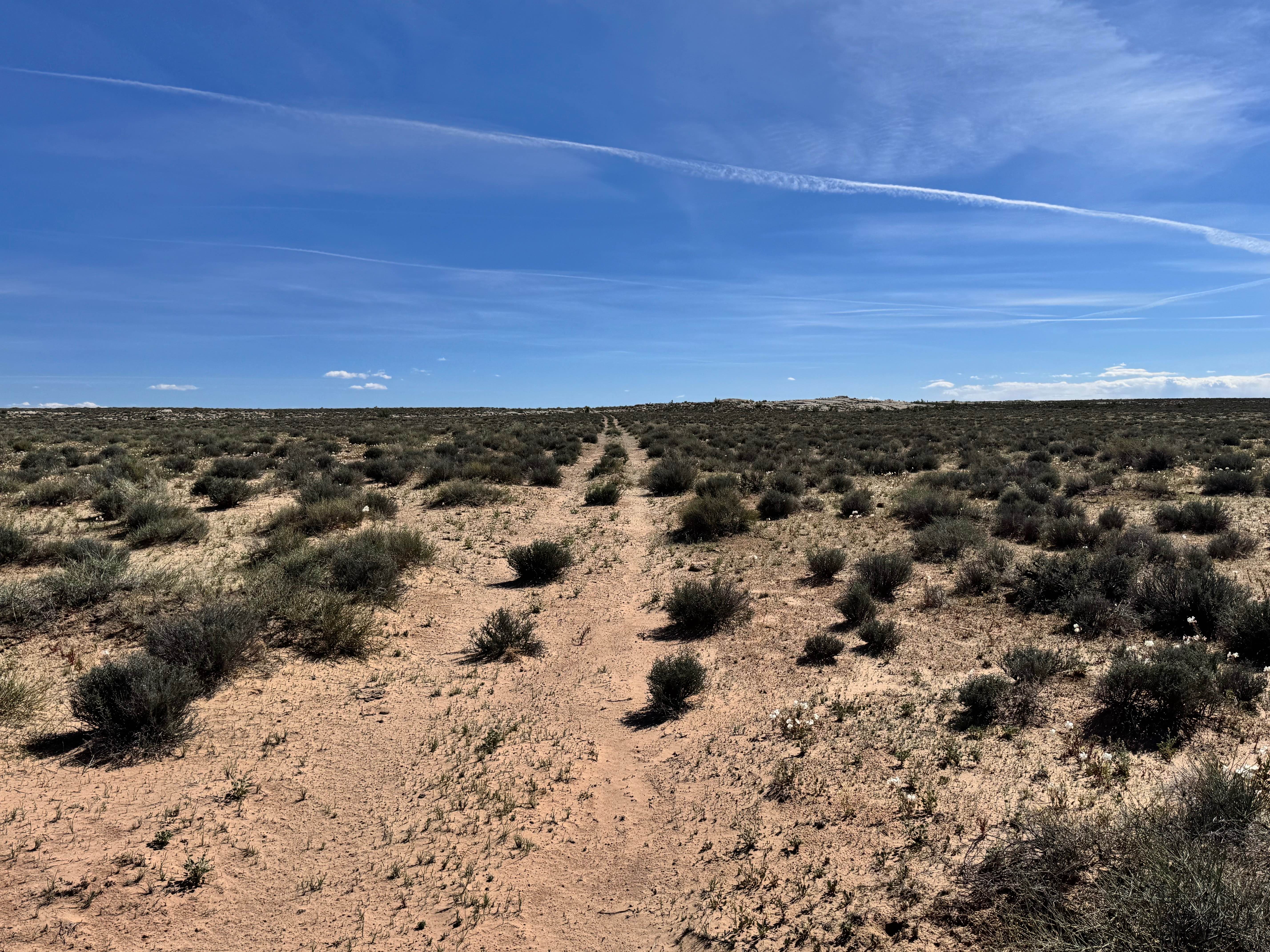
The north end of this 4-mile-long trail starts as a wide track through tall bushes. It crosses several washes that can be rocky and dips in and out of sudden ravines. It has whoops and some sand, but it is initially accessible. It goes up a steep hill climb out of the wash full of loose rocks and ruts, with small rock ledges half way up and at the top, making this trail more of an intermediate difficulty. The south end intersects with the Green River Cutoff Road. The north end accesses a couple more difficult single tracks.
Photos of Middle Fork Summerville Wash

Difficulty
A lot of this trail is easy through flat desert floor and washes, but it has a steeper hill climb that makes it intermediate difficulty with several small rock ledges and loose rocks.
Status Reports
Middle Fork Summerville Wash can be accessed by the following ride types:
- Dirt Bike
Middle Fork Summerville Wash Map
Popular Trails
Six Patch Draw North (FS 41182)
Kokopelli Trail (Castle Valley Overlook to Sand Flats Road)
Orange Trail Overlook
The onX Offroad Difference
onX Offroad combines trail photos, descriptions, difficulty ratings, width restrictions, seasonality, and more in a user-friendly interface. Available on all devices, with offline access and full compatibility with CarPlay and Android Auto. Discover what you’re missing today!