Metal Masher Bypass
Total Miles
2.2
Technical Rating
Best Time
Spring
Trail Type
Full-Width Road
Accessible By
Trail Overview
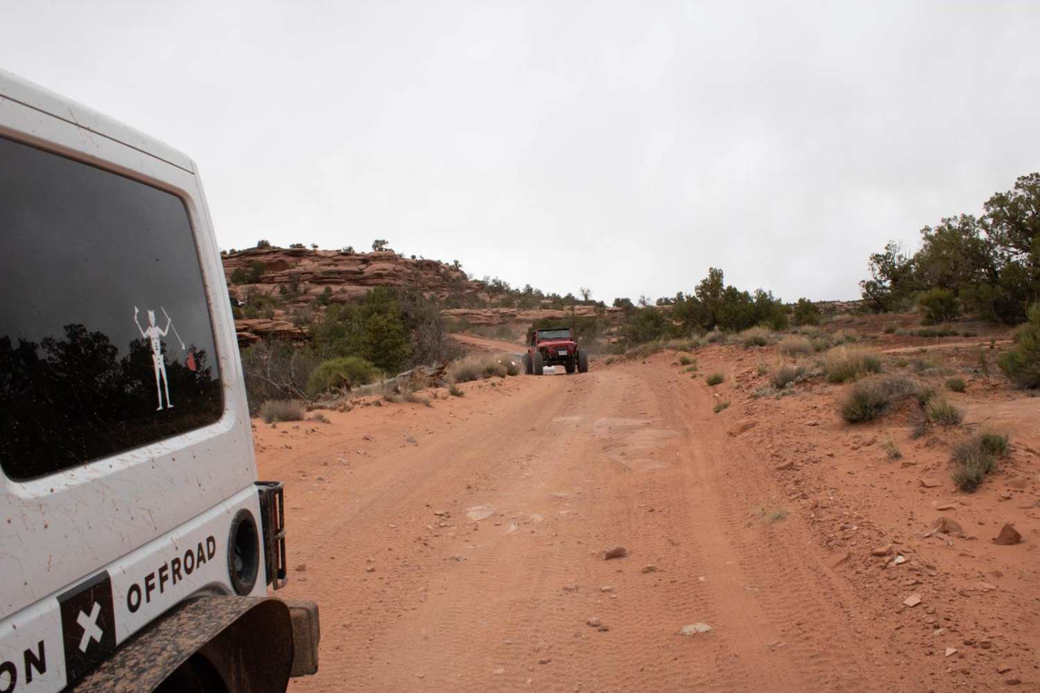
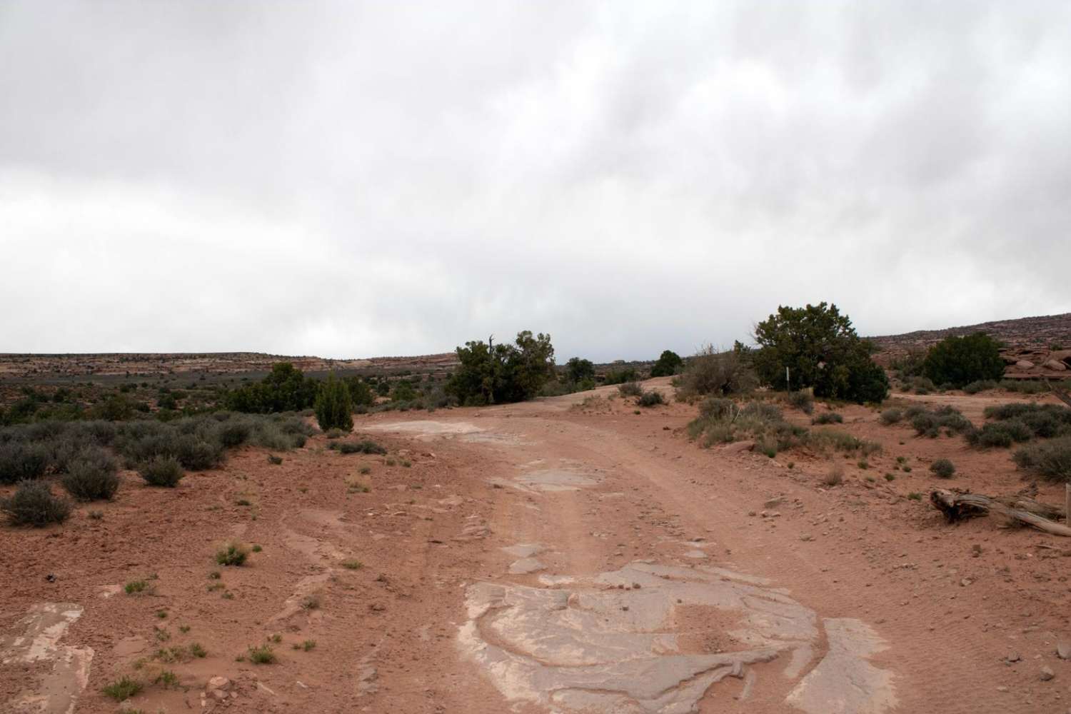
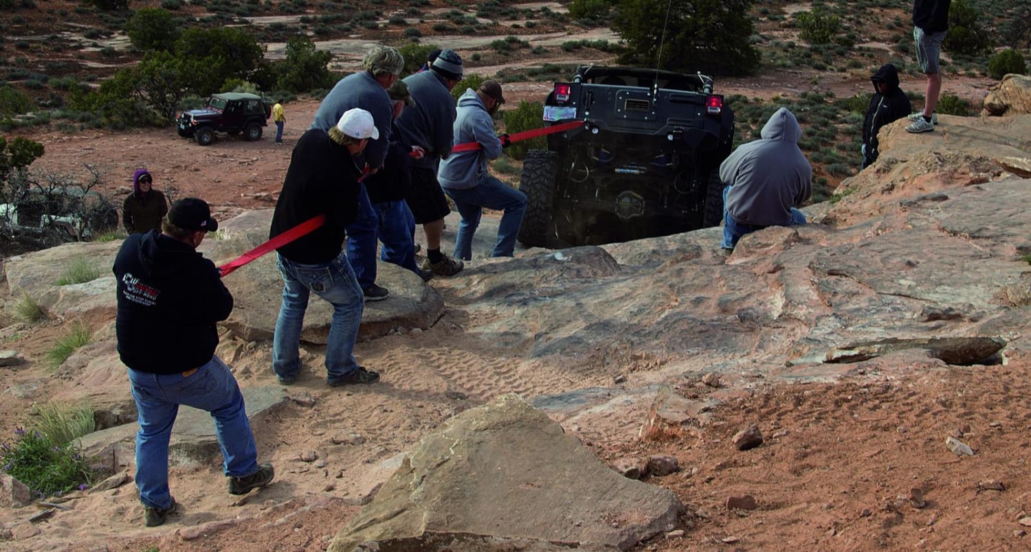
Not to be confused with the Widow Maker Bypass (which bypasses the Widow Maker obstacle), this trail (officially designated D1799) allows either half of Metal Masher to be bypassed. The bypass is a dirt road, with a quarter-mile stretch at the north end covered with small rocks (3-6 inches in diameter). It is available for those looking to do either half of the trail--it can be used to finish the first half of Metal Masher or to skip the first half and complete the second half.
Photos of Metal Masher Bypass
Difficulty
The northernmost section of the trail is covered with rocks and rubble, and there are a few small rock ledges along the road, but most of the trail is a dirt road surface.
Status Reports
Metal Masher Bypass can be accessed by the following ride types:
- High-Clearance 4x4
- SUV
- SxS (60")
- ATV (50")
- Dirt Bike
Metal Masher Bypass Map
Popular Trails

Great Western Trail South
Railroad Access Road
Cottonwood Road - Bullion Canyon Interconnect
Behind the Rocks
The onX Offroad Difference
onX Offroad combines trail photos, descriptions, difficulty ratings, width restrictions, seasonality, and more in a user-friendly interface. Available on all devices, with offline access and full compatibility with CarPlay and Android Auto. Discover what you’re missing today!