2 trails found in Utah
Which "butler wash" are you looking for?
We found 2 off-road trails in Utah matching your search. Pick the one you're looking for below.
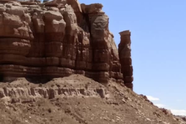
Butler Wash Road
Butler Wash Road is a beautiful drive between Highway 95 and Highway 163. This road is not recommended during or the day after heavy rain. With sandy and rocky wash roads, high-clearance 4x4 is recommended. There are flat sagebrush bottom areas interspersed by rocky canyons and cliffs with numerous ...
Learn more about Butler Wash Road
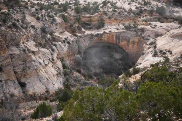
Butler Wash
This 3.4-mile 4x4 route starts on County Road 240 and goes south until it dead-ends at a cliff over Butler Wash. The cliff comes up suddenly, so don't go too fast at the end of the trail. This trail is less trafficked and more faint through soft dirt. It has lots of dips into ravines and washes with...
Learn more about Butler Wash