Burbank Hills Trail 4
Total Miles
20.4
Technical Rating
Best Time
Spring, Summer, Fall, Winter
Trail Type
High-Clearance 4x4 Trail
Accessible By
Trail Overview
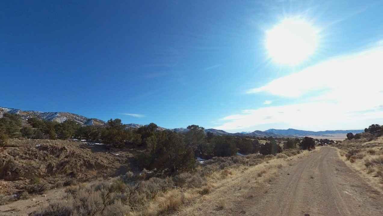
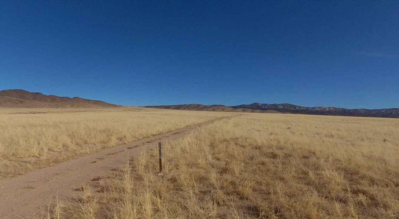
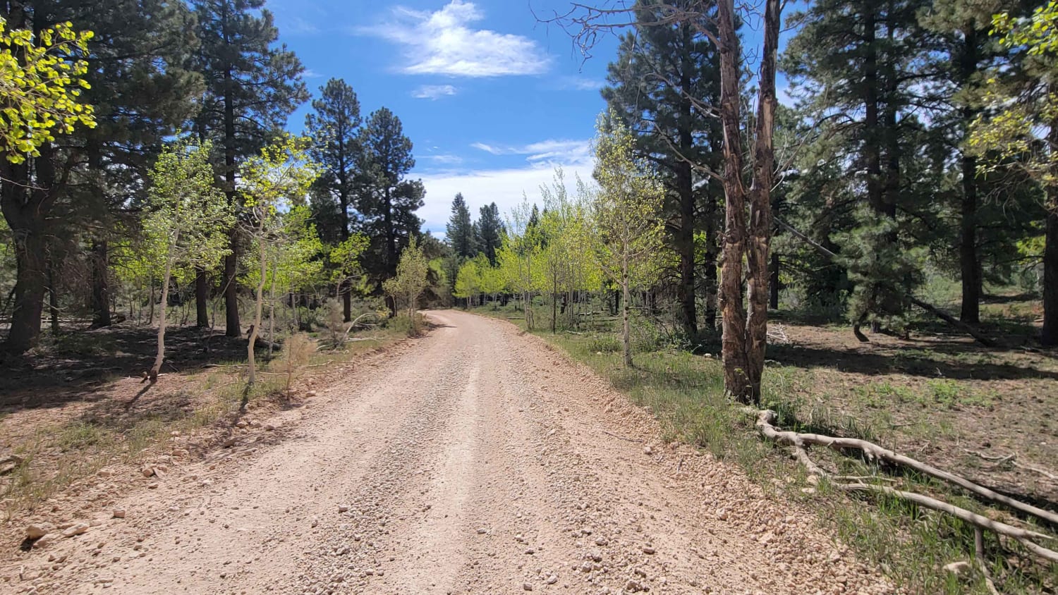
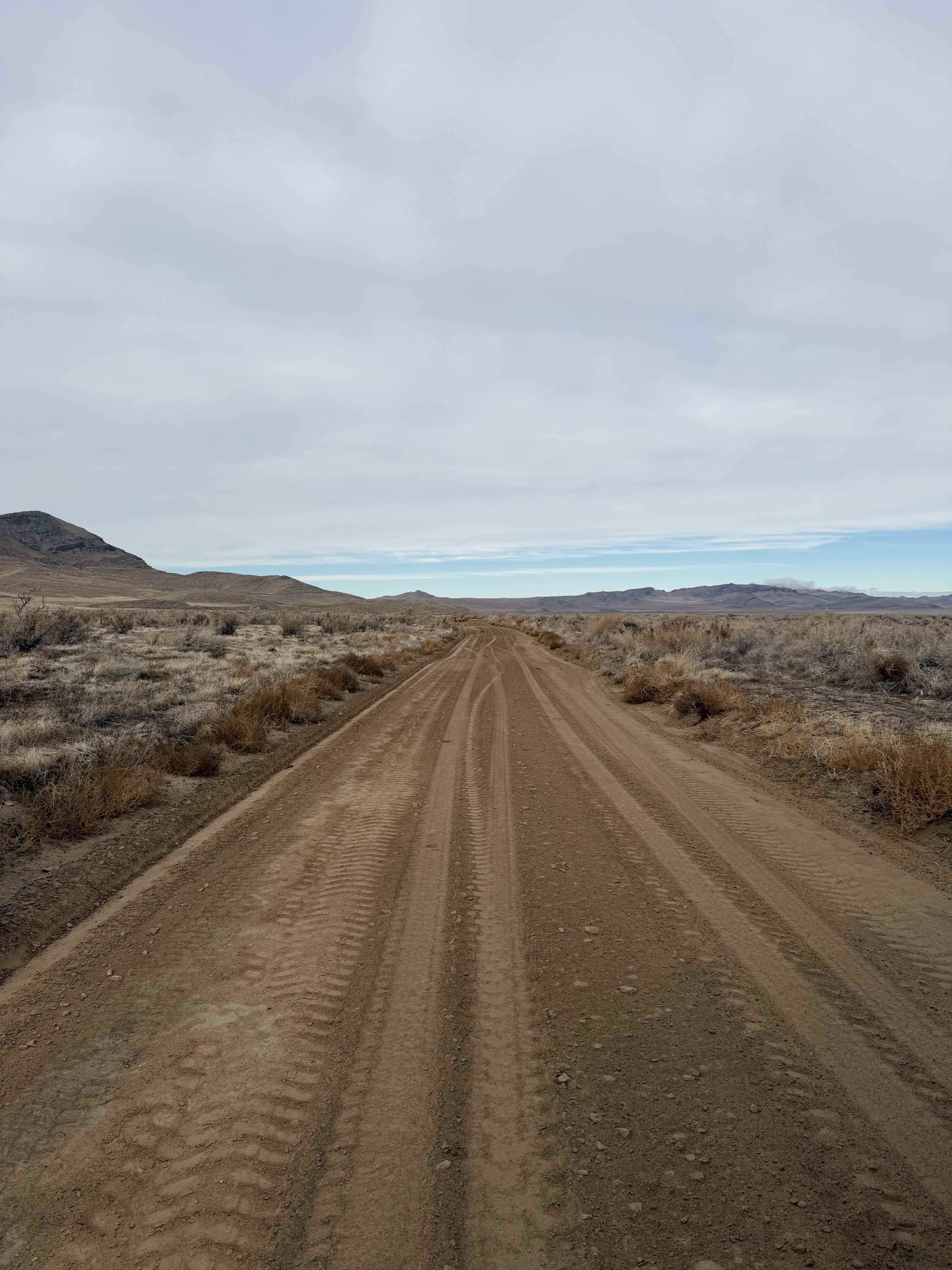
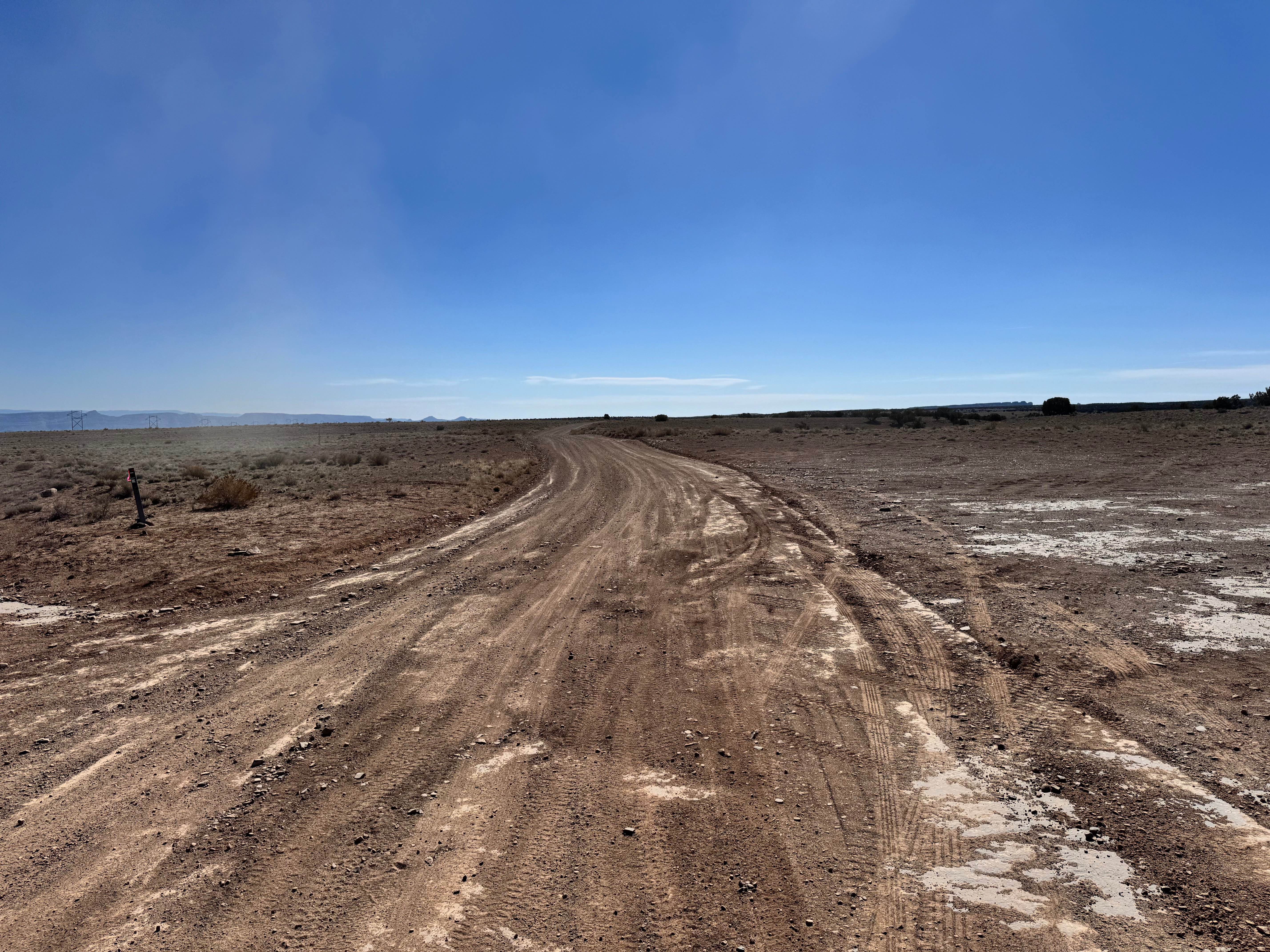
Burbank Hills Trail 4 is a 20.4-mile loop trail rated 3 out of 10 located in Millard County, Utah. This trail is a single track with a dirt and rock base. Although this trail is open to all types of off-road vehicles it is probably best suited for ATV/UTVs. The Burbank Hills is a small northwest-southeast mountain range in western Utah that lies entirely within Hamlin-Snake Watershed between the Snake Range and, to the northeast and east, the Ferguson Desert. It is bounded by Snake Valley to the north, west, and south; and trends into the Tunnel Springs Mountains, to the southeast, opposite the Antelope Valley on its southeast border. The nearest community is Garrison but it has no services. The communities of Delta or Milford are the last places to stock up and have full services available.
Photos of Burbank Hills Trail 4
Difficulty
The trail consists of loose rocks, dirt, and sand with some slickrock surfaces, mud holes possible, and no steps higher than 12". 4WD may be required, aggressive tires are a plus.
Status Reports
Burbank Hills Trail 4 can be accessed by the following ride types:
- High-Clearance 4x4
- SxS (60")
- ATV (50")
- Dirt Bike
Burbank Hills Trail 4 Map
Popular Trails
Maragunt Plateau 1
North Dead Cow Point Road
Box Flat Road

Ripple Valley Pass
The onX Offroad Difference
onX Offroad combines trail photos, descriptions, difficulty ratings, width restrictions, seasonality, and more in a user-friendly interface. Available on all devices, with offline access and full compatibility with CarPlay and Android Auto. Discover what you’re missing today!