Motoqua - DI Ranch to Jackson Wash Cut-Across
Total Miles
8.8
Technical Rating
Best Time
Spring, Summer, Fall, Winter
Trail Type
High-Clearance 4x4 Trail
Accessible By
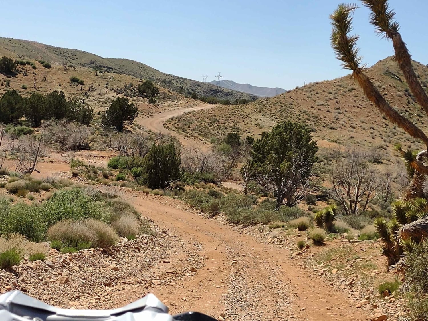
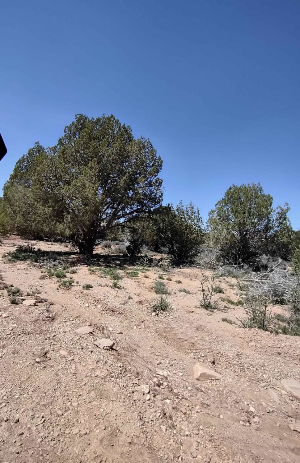
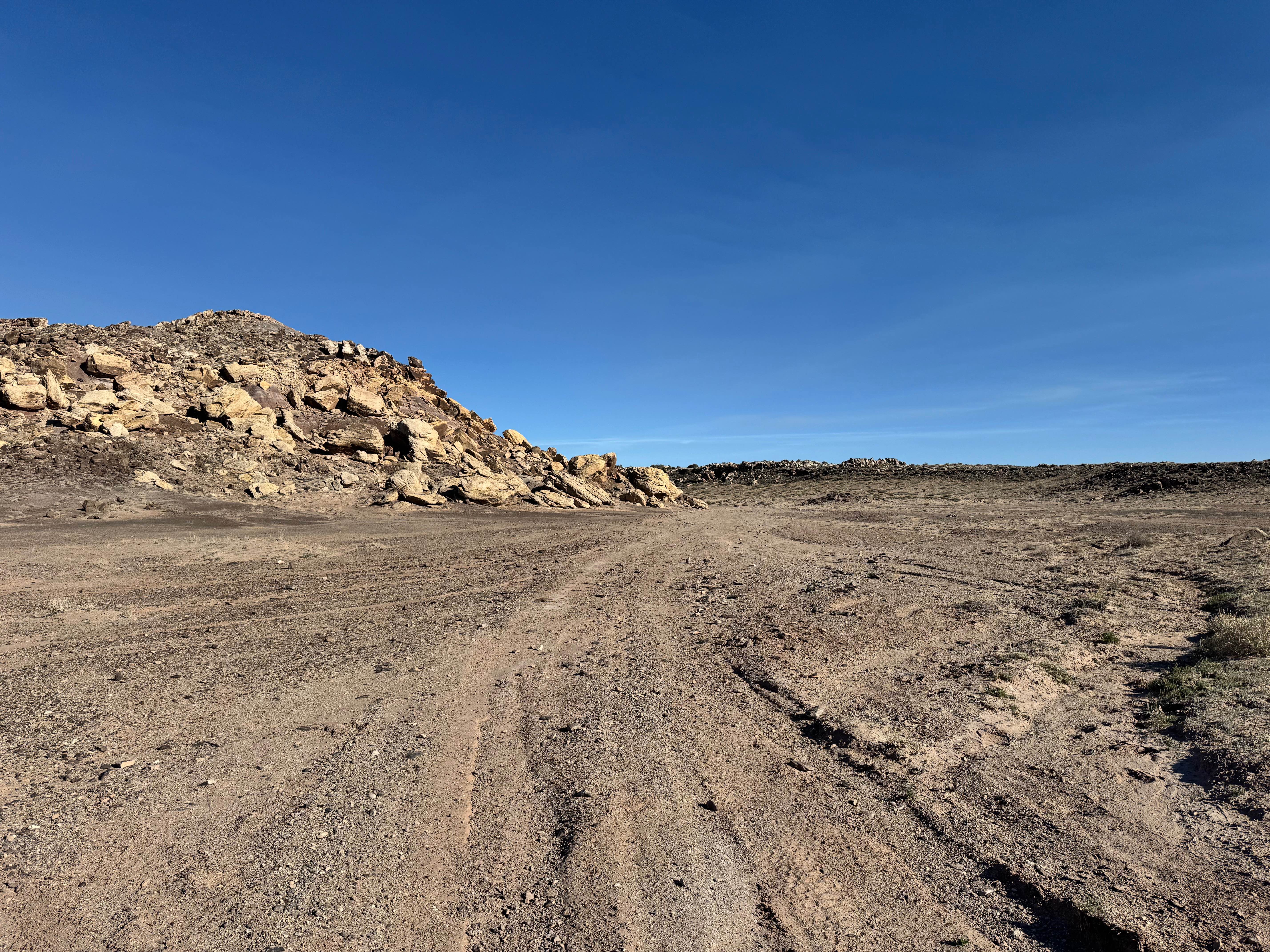
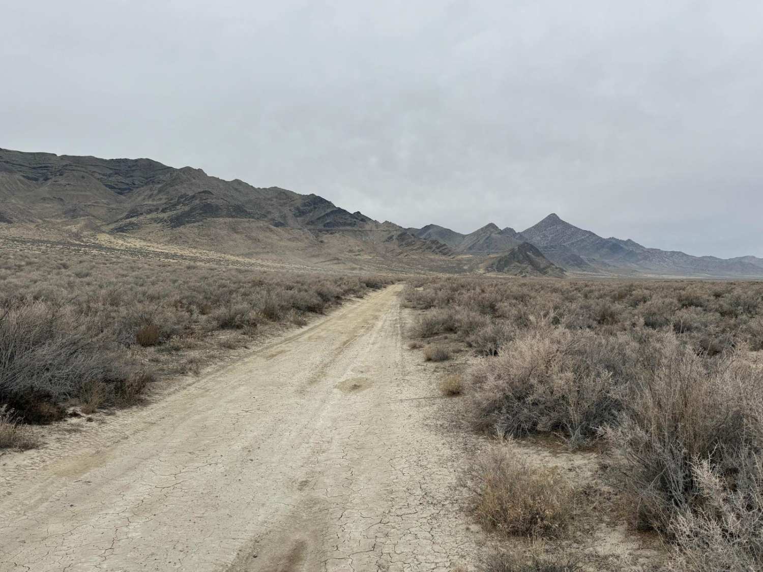
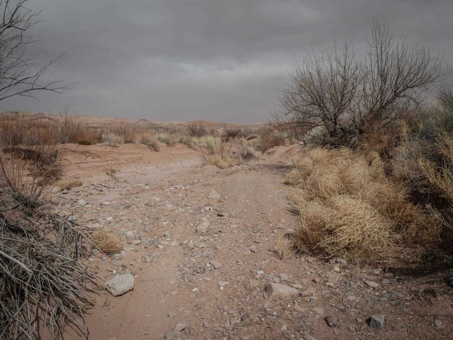
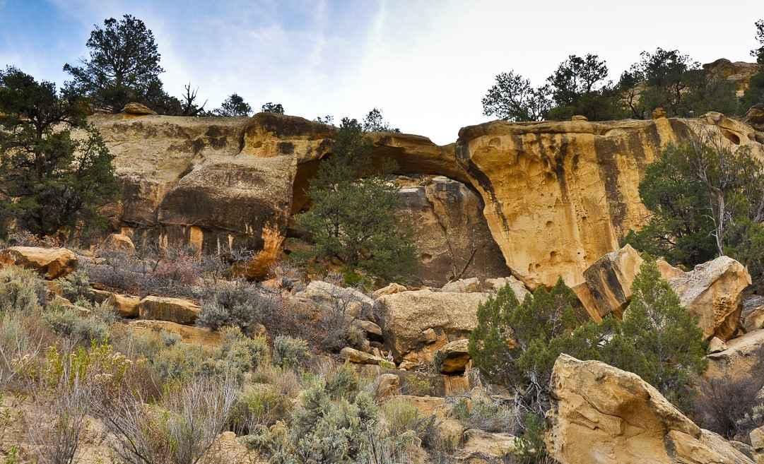
Trail Overview
This cut-across trail, almost 9 miles in length, goes up to high points with a view as you move south/southwest along the edge of the mountain range that includes West Mountain Peak at 7700 feet. To the west, you see the beautiful Clover Mountains Wilderness and Lime Mountain. To the northwest is Doc's Pass Wilderness. Joshua Trees are native to this area, and they thrive here. In the springtime, the largest ones are in bloom. You go through the draws, which show evidence of runoff after a big rain or winter snow. This is an open range, so you may encounter livestock. The herds are contained by cattle guards, so no gates to open. Then you climb out of the draw and up to the top of the mesa, overlooking areas to the west and northwest. In February of 2023, Utah began enforcement of a new law, which requires an online education course for all off-roaders. The free course is available online. Google "Utah OHV Education Course," and the free test will pop up. It's an easy test that will only take 15-30 minutes, and it's required for all off-roaders, Jeeps, SXSs, dirt bikes, and ATVs. Kids under the age of 18 will have to take the Youth Education Test at the same site. After completing the test, print out the certificate to carry with you which shows you completed the course. We have taken it, and it's really no big deal. Good reminders about trail etiquette and trail preservation. If you're looking for a place to escape the desert heat of summertime in Southern Utah, this is a good option.
Photos of Motoqua - DI Ranch to Jackson Wash Cut-Across
Difficulty
This is an easy trail. Early in the springtime or after heavy rain, be aware of runoff.
Status Reports
Motoqua - DI Ranch to Jackson Wash Cut-Across can be accessed by the following ride types:
- High-Clearance 4x4
- SxS (60")
- ATV (50")
- Dirt Bike
Motoqua - DI Ranch to Jackson Wash Cut-Across Map
Popular Trails
Green River Ledges
East Newfoundland Road
Upper Salt Wash
Smoky Mountain Road North BLM 300
The onX Offroad Difference
onX Offroad combines trail photos, descriptions, difficulty ratings, width restrictions, seasonality, and more in a user-friendly interface. Available on all devices, with offline access and full compatibility with CarPlay and Android Auto. Discover what you’re missing today!