Catamount Road
Total Miles
2.4
Technical Rating
Best Time
Spring, Summer, Fall
Trail Type
Full-Width Road
Accessible By
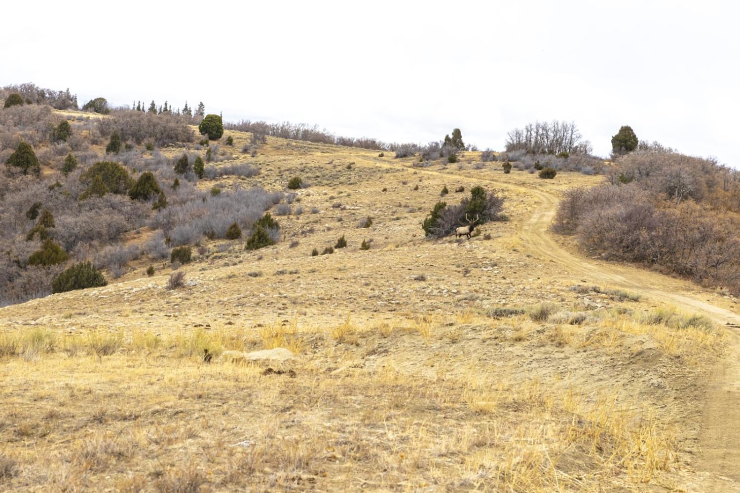
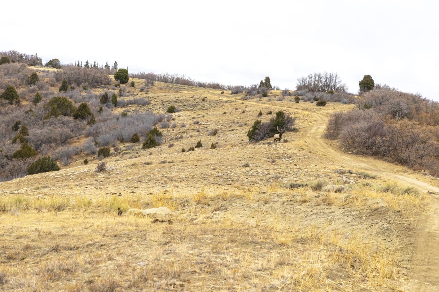
Trail Overview
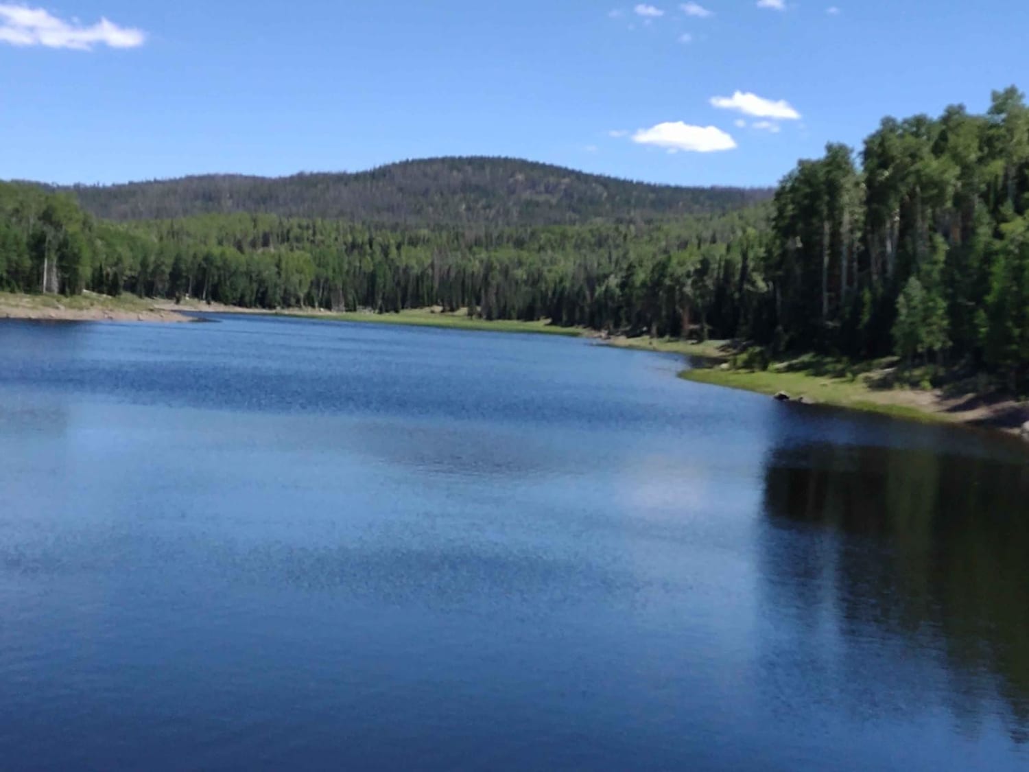
Catamount road is accessed by the public from the Browns Hole Road. The other end of the road, 2.4 miles away, transitions to private property. This road passes across the top of a ridge, offering nearly 360-degree views. The vegetation is mostly scrub oak, grasses and sage brush. Many different types of wildlife frequent the area, such as mule deer, elk, coyotes, mountain lions and wild turkey.
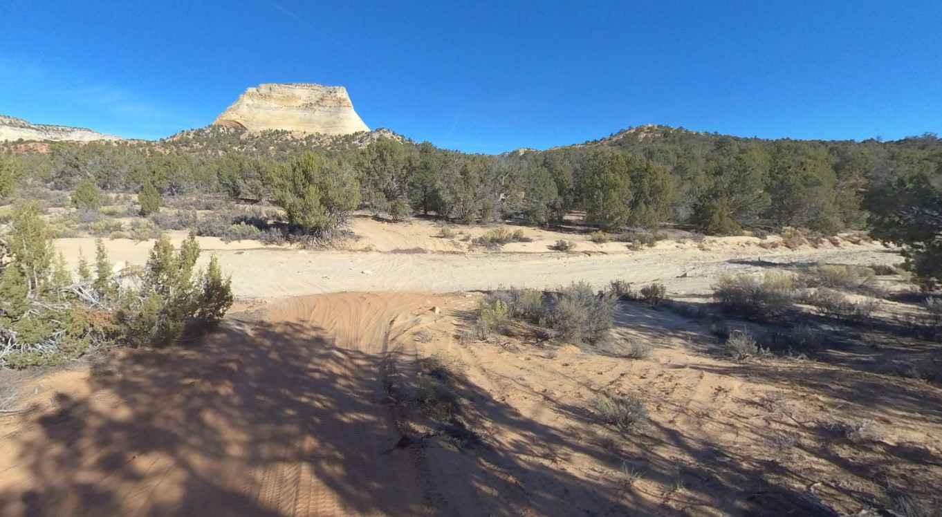
Photos of Catamount Road
Difficulty
The road is dirt and unmaintained. Can be slick in inclement weather.
Status Reports
Catamount Road can be accessed by the following ride types:
- High-Clearance 4x4
- SUV
- ATV (50")
- Dirt Bike
Catamount Road Map
Popular Trails
White Tower Loop-BLM102

Old Canyon Road
Annabella Reservoir/Deep Lake - FS 40080
The onX Offroad Difference
onX Offroad combines trail photos, descriptions, difficulty ratings, width restrictions, seasonality, and more in a user-friendly interface. Available on all devices, with offline access and full compatibility with CarPlay and Android Auto. Discover what you’re missing today!