Middle Fork
Total Miles
2.1
Technical Rating
Best Time
Spring, Summer, Fall
Trail Type
60" Trail
Accessible By
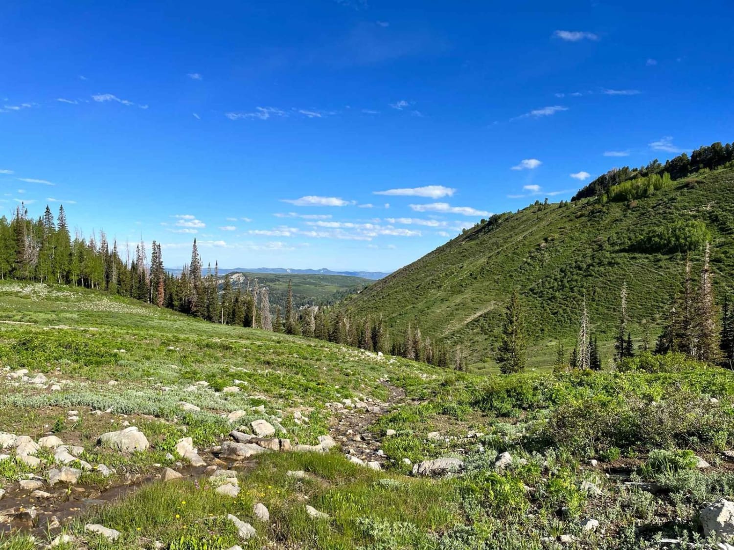
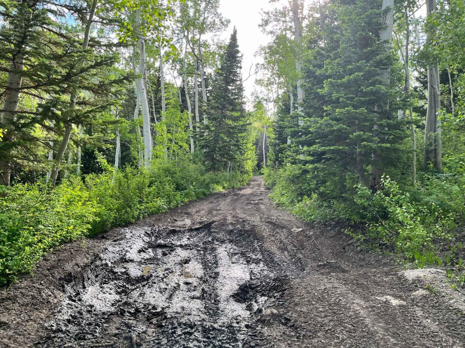
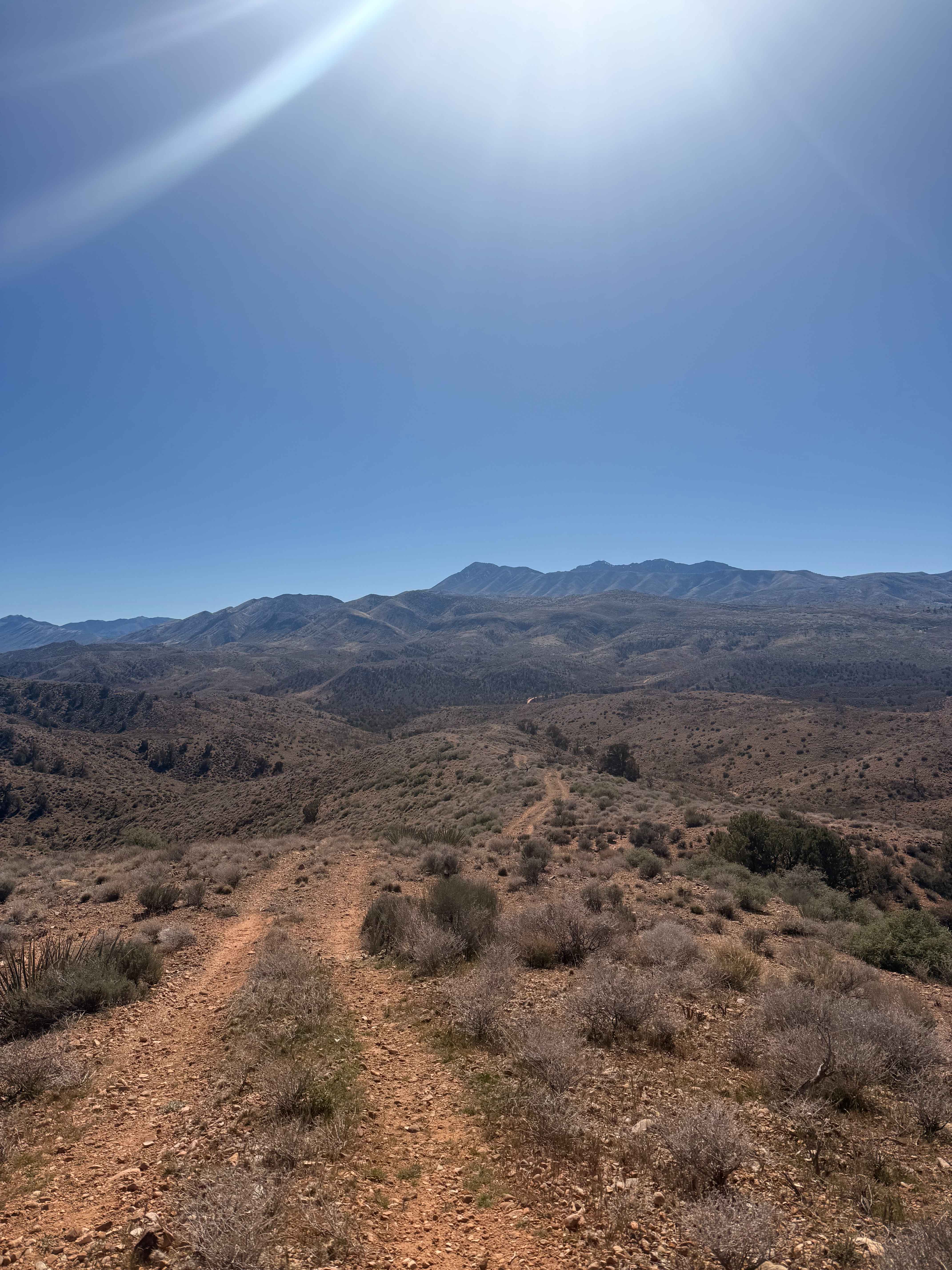
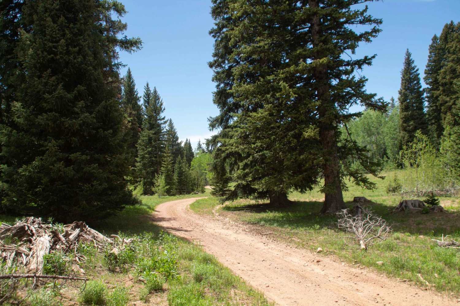
Trail Overview
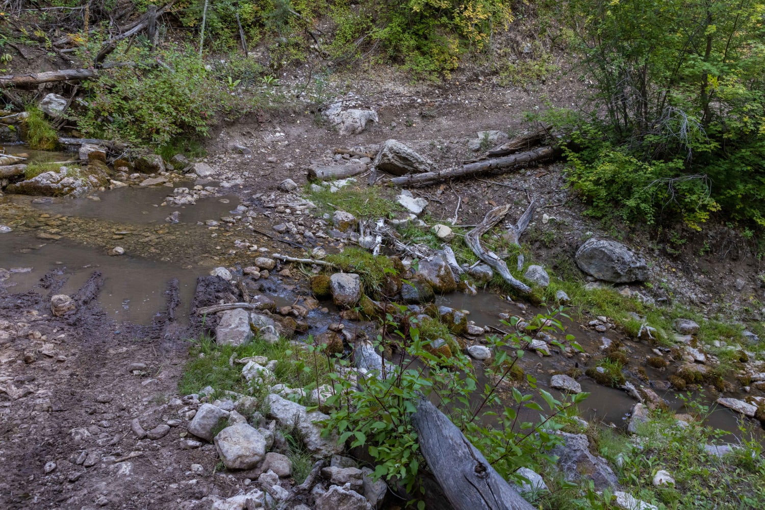
The closer this trail gets to the summit, the more serene, pastoral, and smooth it becomes. The closer it gets to Manti Canyon Road, the more gnarly, winding, rutted, and rocky it becomes. This can be falsely alluring if you are dropping in from Skyline Road. I passed a new suburban that was stuck in the middle of the trail facing downhill. Having come from below, I could see that there was no way it could have made it to the bottom, but seeing where it had come from, I could see how the driver might have felt like this was a viable route off the mountain.
Photos of Middle Fork
Difficulty
The majority of the technical aspects of the trail are near the bottom. It is rutted, winding, rocky, and sometimes steep. Near the summit, you could drive on it in a car.
Middle Fork can be accessed by the following ride types:
- SxS (60")
- ATV (50")
- Dirt Bike
Middle Fork Map
Popular Trails
Ridgeline Romp
Running Water Spring Road

Davis Mountain Pass
Olsen Canyon Road
The onX Offroad Difference
onX Offroad combines trail photos, descriptions, difficulty ratings, width restrictions, seasonality, and more in a user-friendly interface. Available on all devices, with offline access and full compatibility with CarPlay and Android Auto. Discover what you’re missing today!