Duchesne Ridge
Total Miles
7.6
Technical Rating
Best Time
Summer, Fall
Trail Type
Full-Width Road
Accessible By
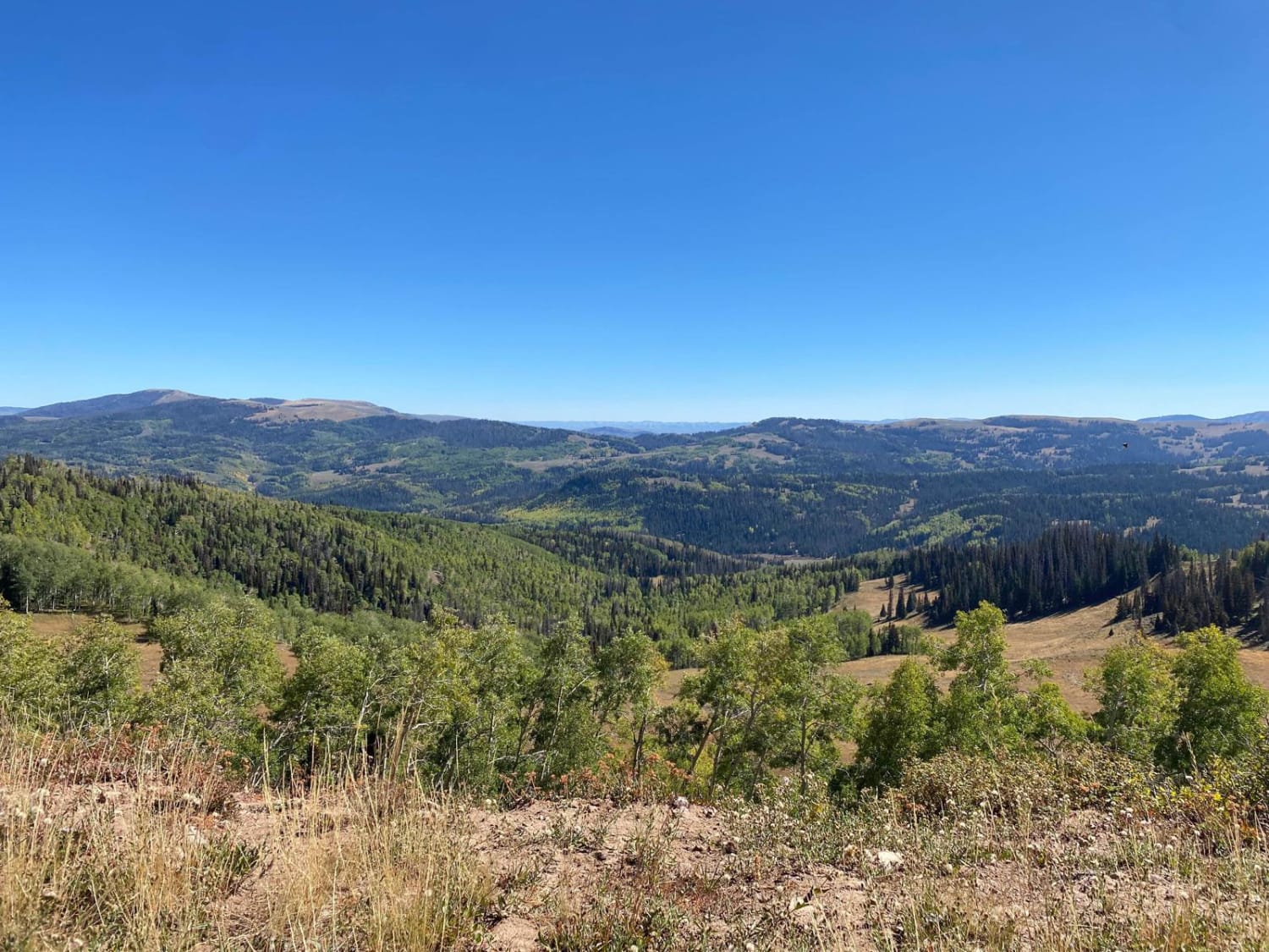
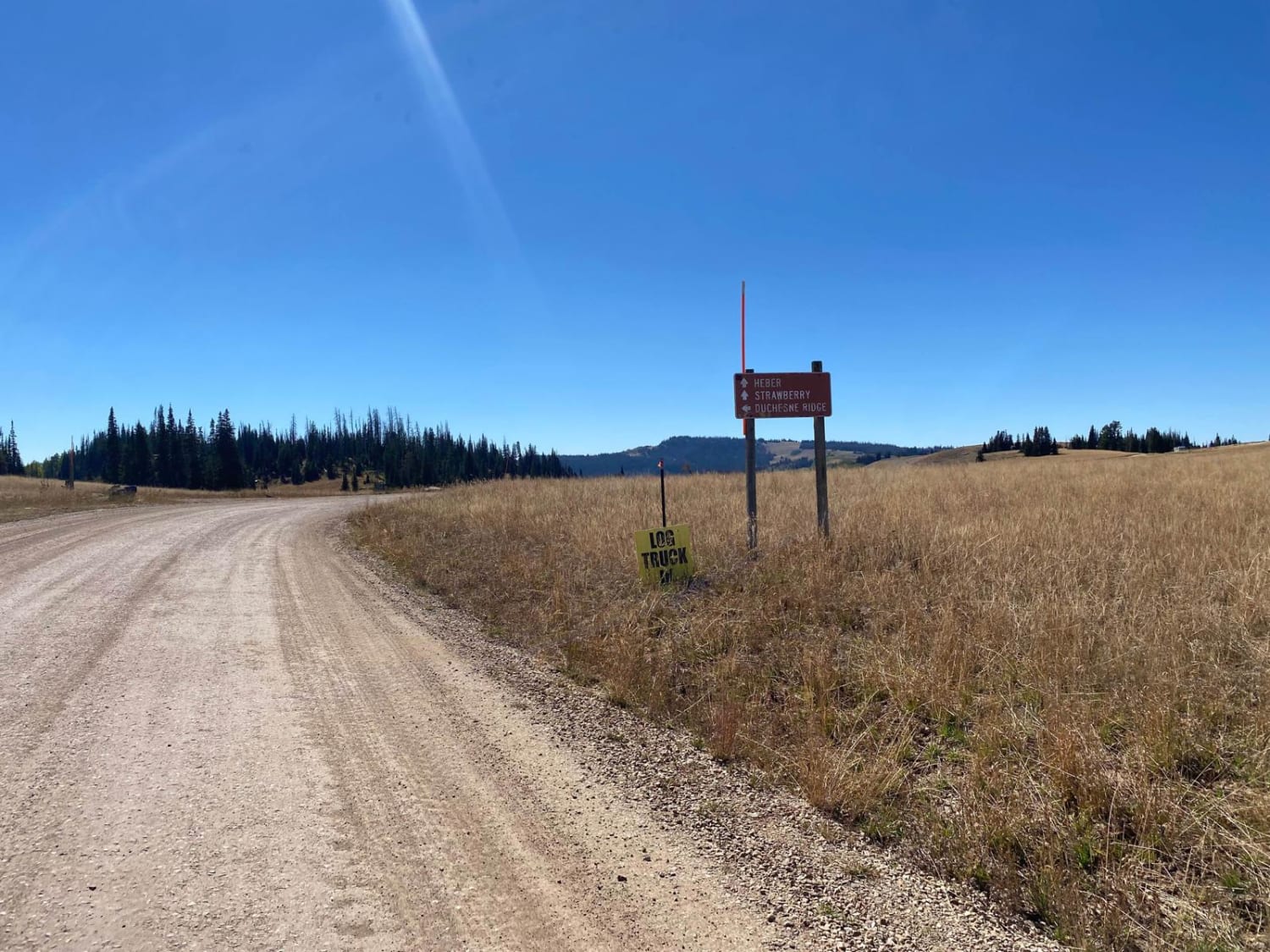
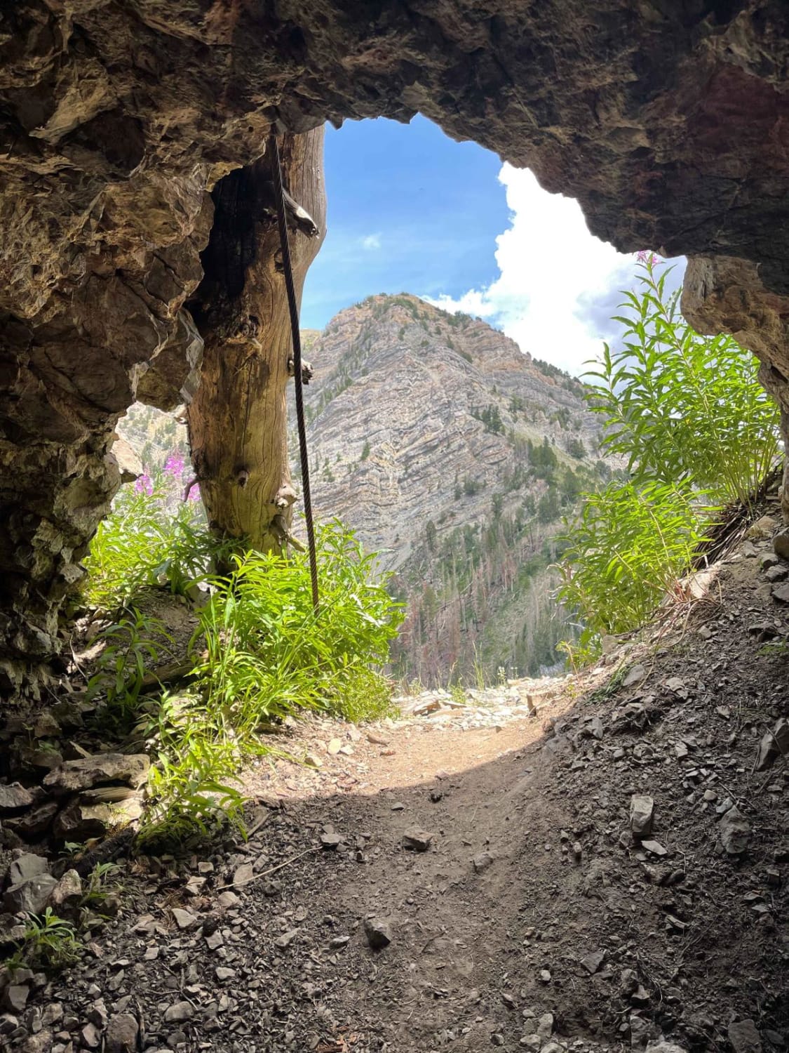
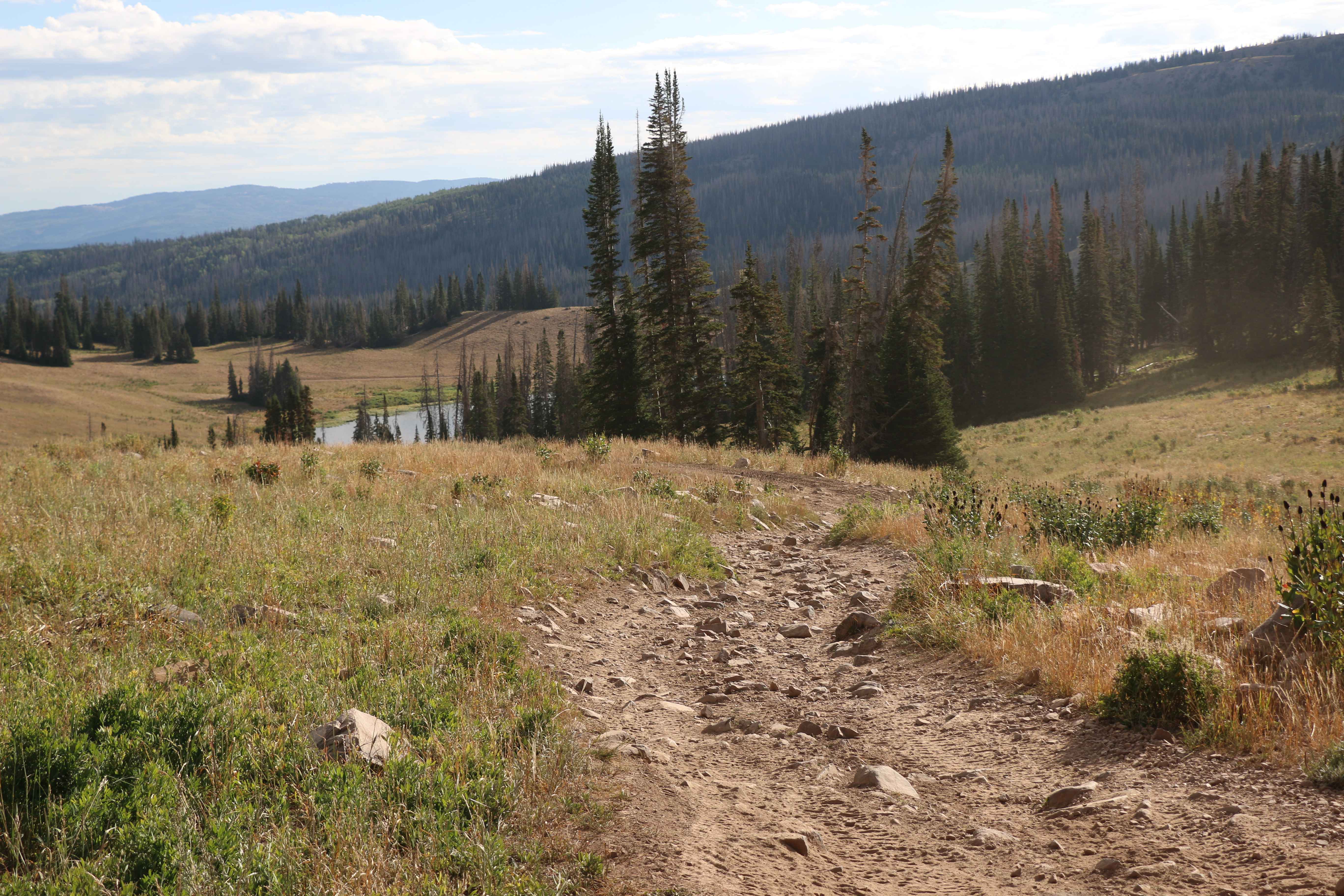
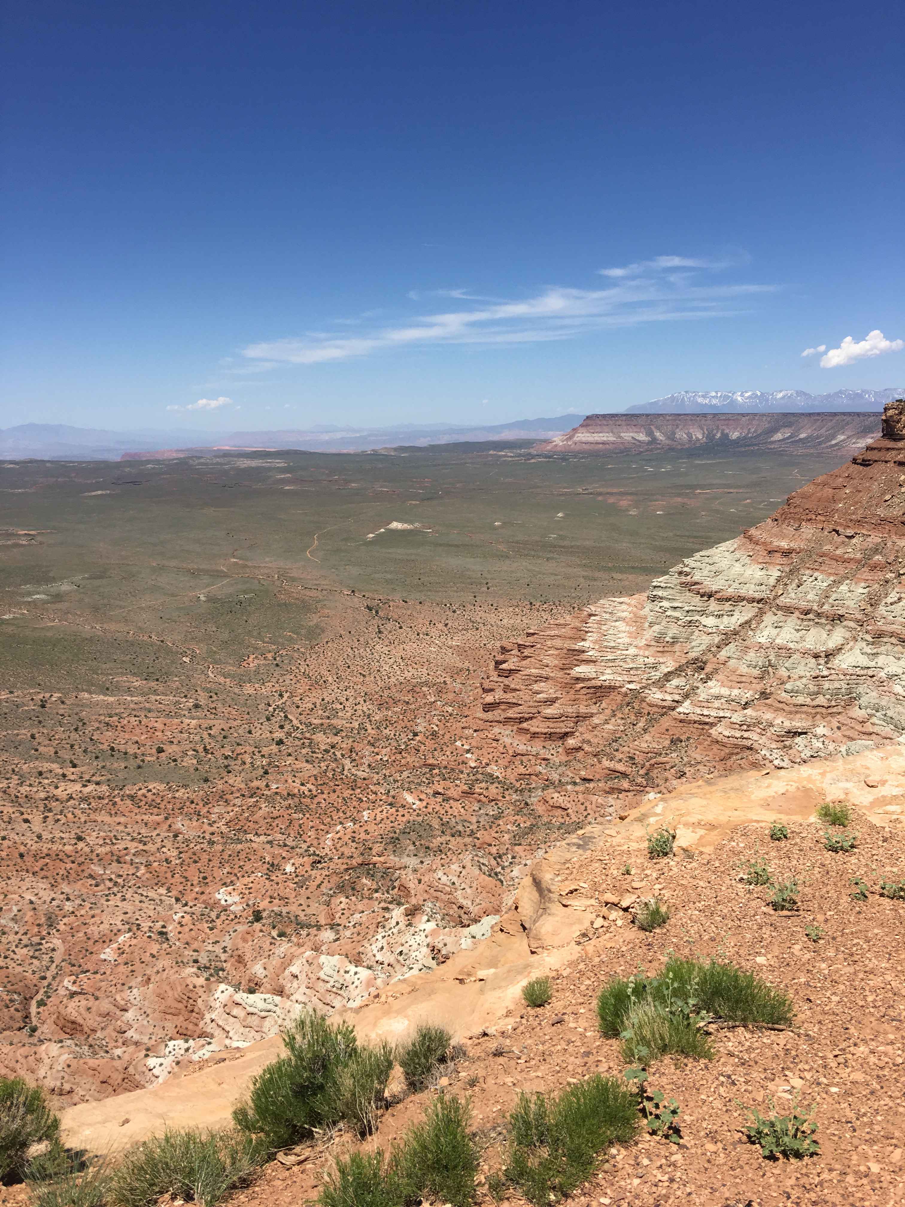
Trail Overview
The Duchesne Ridge trail is a scenic and great way to access the Uinta National Forest. The area offers plenty of dispersed camping with many graded forest roads to explore. As you venture in and out of the pines and aspens, you'll find many spots to stop and take in the breathtaking views. Note that ATVs and SXSs are not allowed unless registered as street-legal.
Photos of Duchesne Ridge
Difficulty
The trail is a nice graded dirt road but can get rutted and muddy sections in the spring and depending on weather.
Status Reports
Duchesne Ridge can be accessed by the following ride types:
- High-Clearance 4x4
- SUV
Duchesne Ridge Map
Popular Trails
Moffit Pass - FS 80135
Little Creek Lookout Loop

Brian's Trail
The onX Offroad Difference
onX Offroad combines trail photos, descriptions, difficulty ratings, width restrictions, seasonality, and more in a user-friendly interface. Available on all devices, with offline access and full compatibility with CarPlay and Android Auto. Discover what you’re missing today!