Off-Road Trails in Utah
Discover off-road trails in Utah
Learn more about Monroe Mount Road (Kingston Cnyn to Forshea Mtn)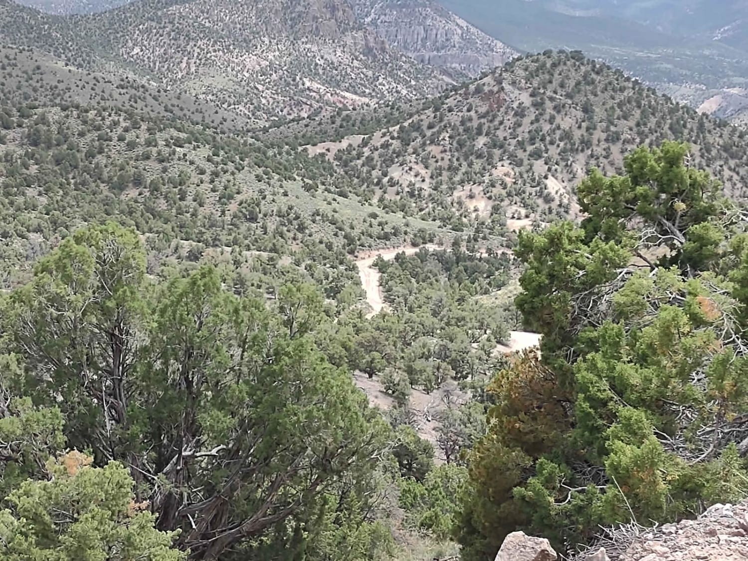
Monroe Mount Road (Kingston Cnyn to Forshea Mtn)
Total Miles
7.1
Tech Rating
Easy
Best Time
Spring, Summer, Fall
Learn more about Monroe Mountain Road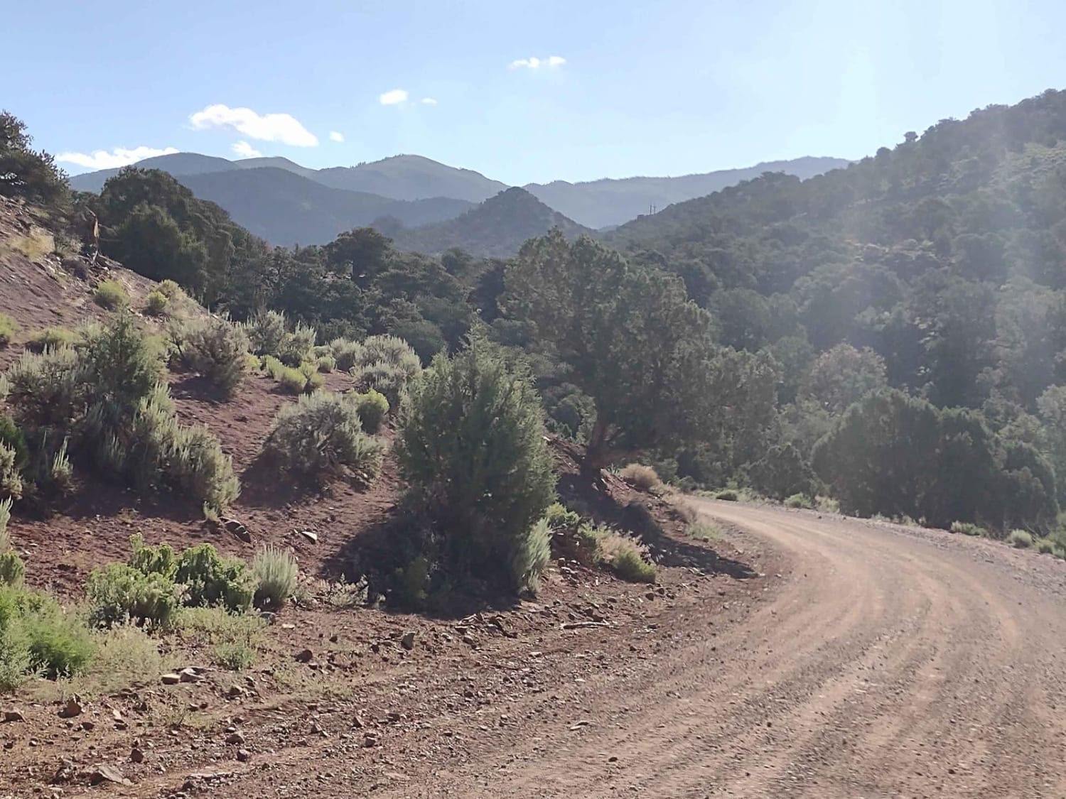
Monroe Mountain Road
Total Miles
4.9
Tech Rating
Easy
Best Time
Spring, Summer, Fall
Learn more about Monroe Mountain Road Spur (FS 42459, 41192)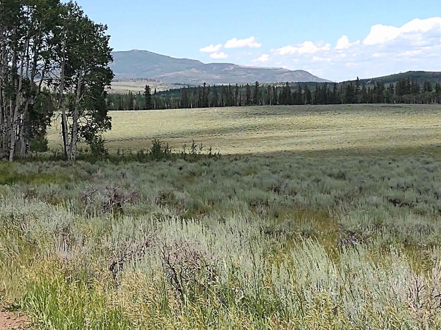
Monroe Mountain Road Spur (FS 42459, 41192)
Total Miles
0.8
Tech Rating
Easy
Best Time
Spring, Summer, Fall
Learn more about Monroe Mountain Road Spur Loop (FS 41178)
Monroe Mountain Road Spur Loop (FS 41178)
Total Miles
2.3
Tech Rating
Easy
Best Time
Spring, Summer, Fall
Learn more about Monroe Mtn Road to Upper Box Creek Reservoir (FS# 40068)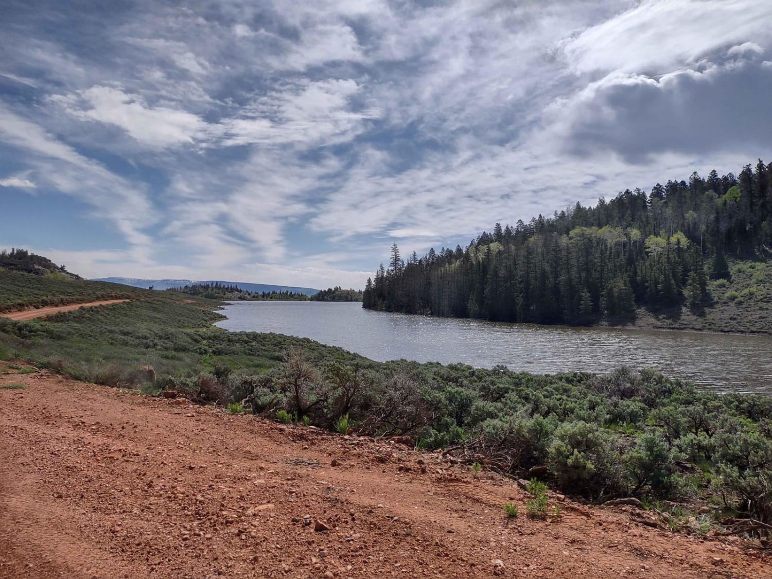
Monroe Mtn Road to Upper Box Creek Reservoir (FS# 40068)
Total Miles
6.6
Tech Rating
Easy
Best Time
Spring, Summer, Fall
Learn more about Monroe Road Cut-Across (FS #41204/BLM #5162)
Monroe Road Cut-Across (FS #41204/BLM #5162)
Total Miles
3.1
Tech Rating
Easy
Best Time
Spring, Summer, Fall
Learn more about Montezuma Canyon Road
Montezuma Canyon Road
Total Miles
34.6
Tech Rating
Easy
Best Time
Spring, Summer, Fall, Winter
Learn more about Moody Canyon
Moody Canyon
Total Miles
16.3
Tech Rating
Easy
Best Time
Spring, Summer, Fall

Learn more about Moon Walk - BLM 9172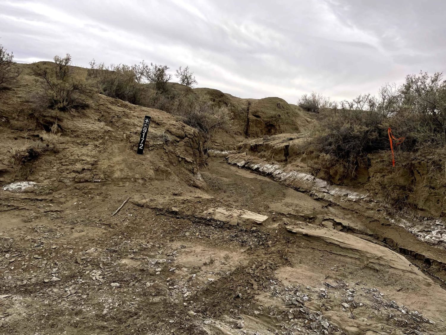
Moon Walk - BLM 9172
Total Miles
5.3
Tech Rating
Easy
Best Time
Fall, Spring
Learn more about Moonscape Overlook
Moonscape Overlook
Total Miles
2.4
Tech Rating
Easy
Best Time
Spring, Summer, Fall
Learn more about Morrison Knudsen Tunnels
Morrison Knudsen Tunnels
Total Miles
0.4
Tech Rating
Easy
Best Time
Spring, Summer, Fall, Winter
Learn more about Morrison Knudsen Tunnels Overlook
Morrison Knudsen Tunnels Overlook
Total Miles
1.3
Tech Rating
Easy
Best Time
Spring, Summer, Fall, Winter
Learn more about Motherload ATV 
Motherload ATV
Total Miles
1.4
Tech Rating
Moderate
Best Time
Spring, Winter, Fall
Learn more about Motherload ATV Access Trail
Motherload ATV Access Trail
Total Miles
0.5
Tech Rating
Moderate
Best Time
Spring, Winter, Fall
Learn more about Motoqua - Birthing Cave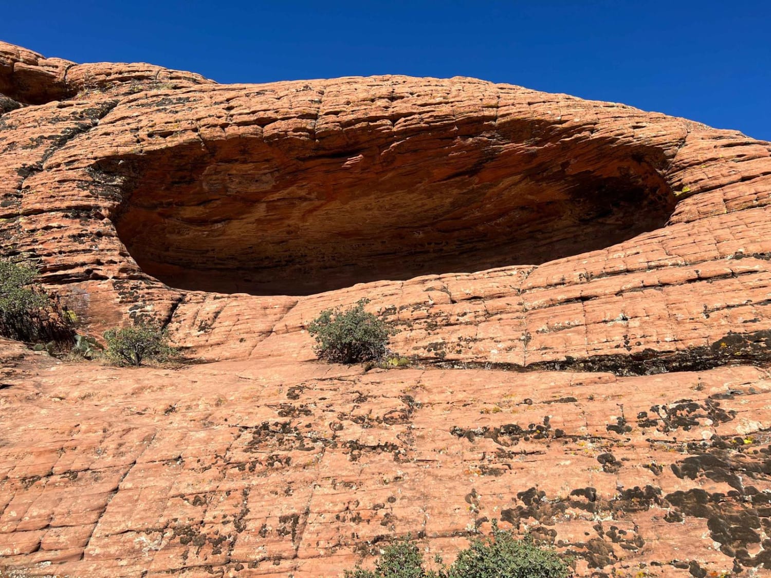
Motoqua - Birthing Cave
Total Miles
7.1
Tech Rating
Moderate
Best Time
Winter, Fall, Summer, Spring
Learn more about Motoqua - DI Ranch
Motoqua - DI Ranch
Total Miles
37.5
Tech Rating
Easy
Best Time
Winter, Fall, Summer, Spring
Learn more about Motoqua - DI Ranch to Jackson Wash Cut-Across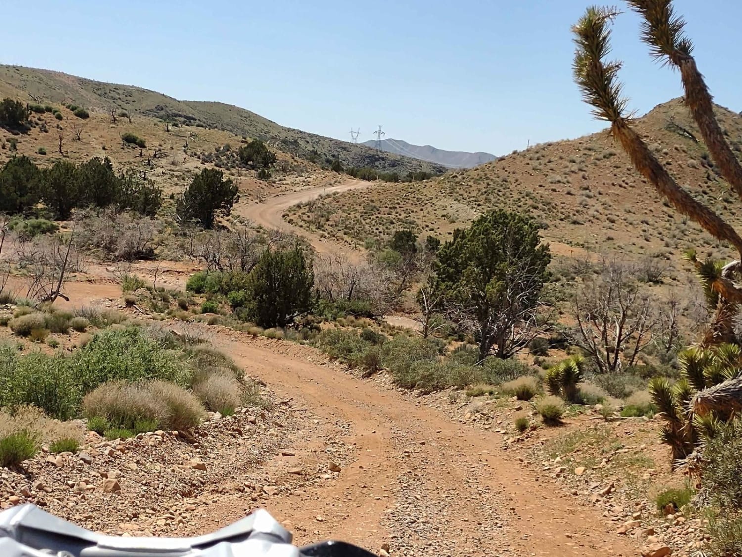
Motoqua - DI Ranch to Jackson Wash Cut-Across
Total Miles
8.8
Tech Rating
Easy
Best Time
Spring, Summer, Fall, Winter
Learn more about Motoqua - Lone Pine Arch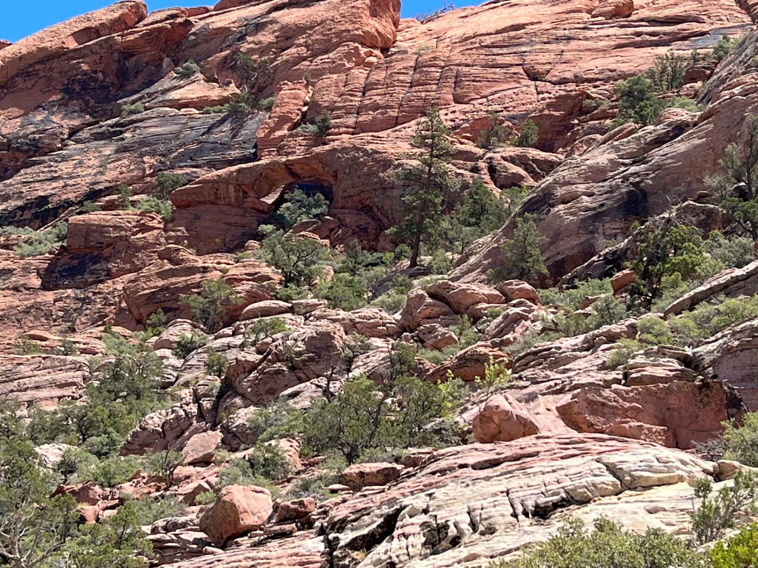
Motoqua - Lone Pine Arch
Total Miles
6.0
Tech Rating
Easy
Best Time
Winter, Fall, Summer, Spring
ATV trails in Utah

Learn more about 14 Mile Road
14 Mile Road
Total Miles
14.7
Tech Rating
Easy
Best Time
Spring, Summer, Fall, Winter


UTV/side-by-side trails in Utah
Learn more about 14 Mile Road
14 Mile Road
Total Miles
14.7
Tech Rating
Easy
Best Time
Spring, Summer, Fall, Winter
The onX Offroad Difference
onX Offroad combines trail photos, descriptions, difficulty ratings, width restrictions, seasonality, and more in a user-friendly interface. Available on all devices, with offline access and full compatibility with CarPlay and Android Auto. Discover what you’re missing today!