Off-Road Trails in Utah
Discover off-road trails in Utah
Learn more about Jim Reed to "The Face"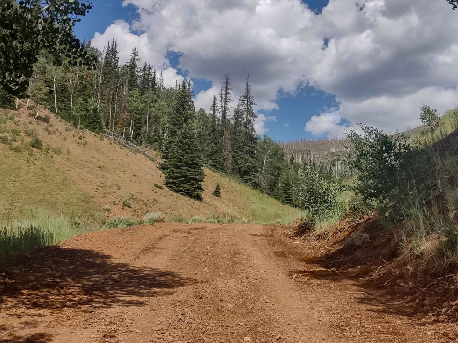
Jim Reed to "The Face"
Total Miles
5.0
Tech Rating
Easy
Best Time
Summer, Fall
Learn more about Jim's Farm Road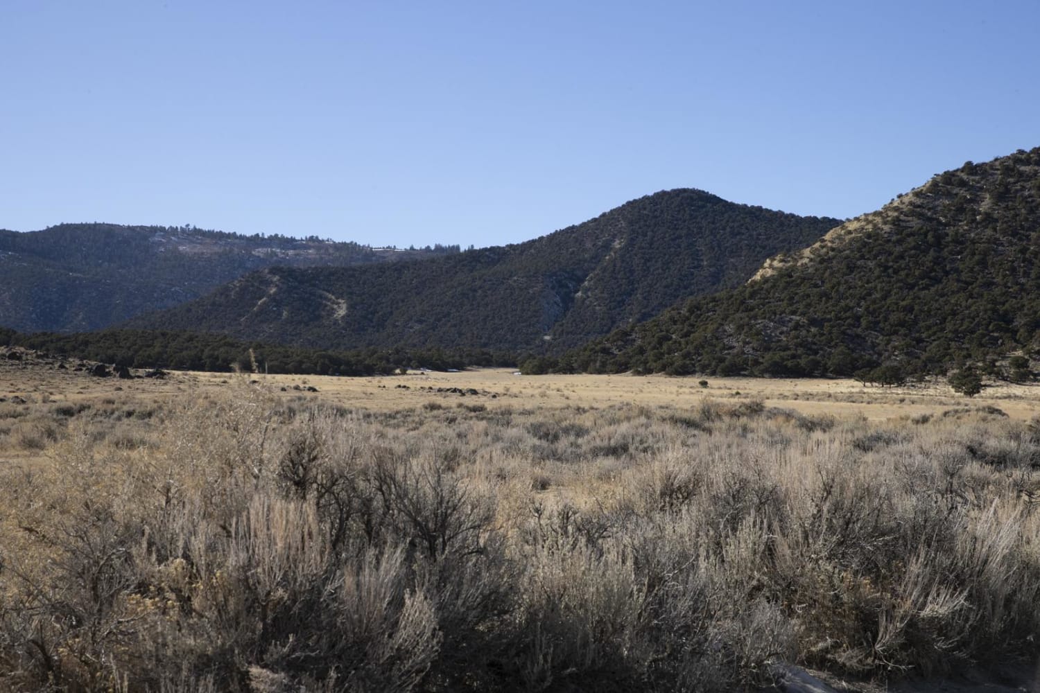
Jim's Farm Road
Total Miles
7.8
Tech Rating
Easy
Best Time
Spring, Summer, Fall, Winter
Learn more about Jocks Canyon
Jocks Canyon
Total Miles
2.6
Tech Rating
Moderate
Best Time
Spring, Summer, Fall
Learn more about Joe Hole Wash 
Joe Hole Wash
Total Miles
9.2
Tech Rating
Moderate
Best Time
Spring, Fall, Winter
Learn more about John's Incline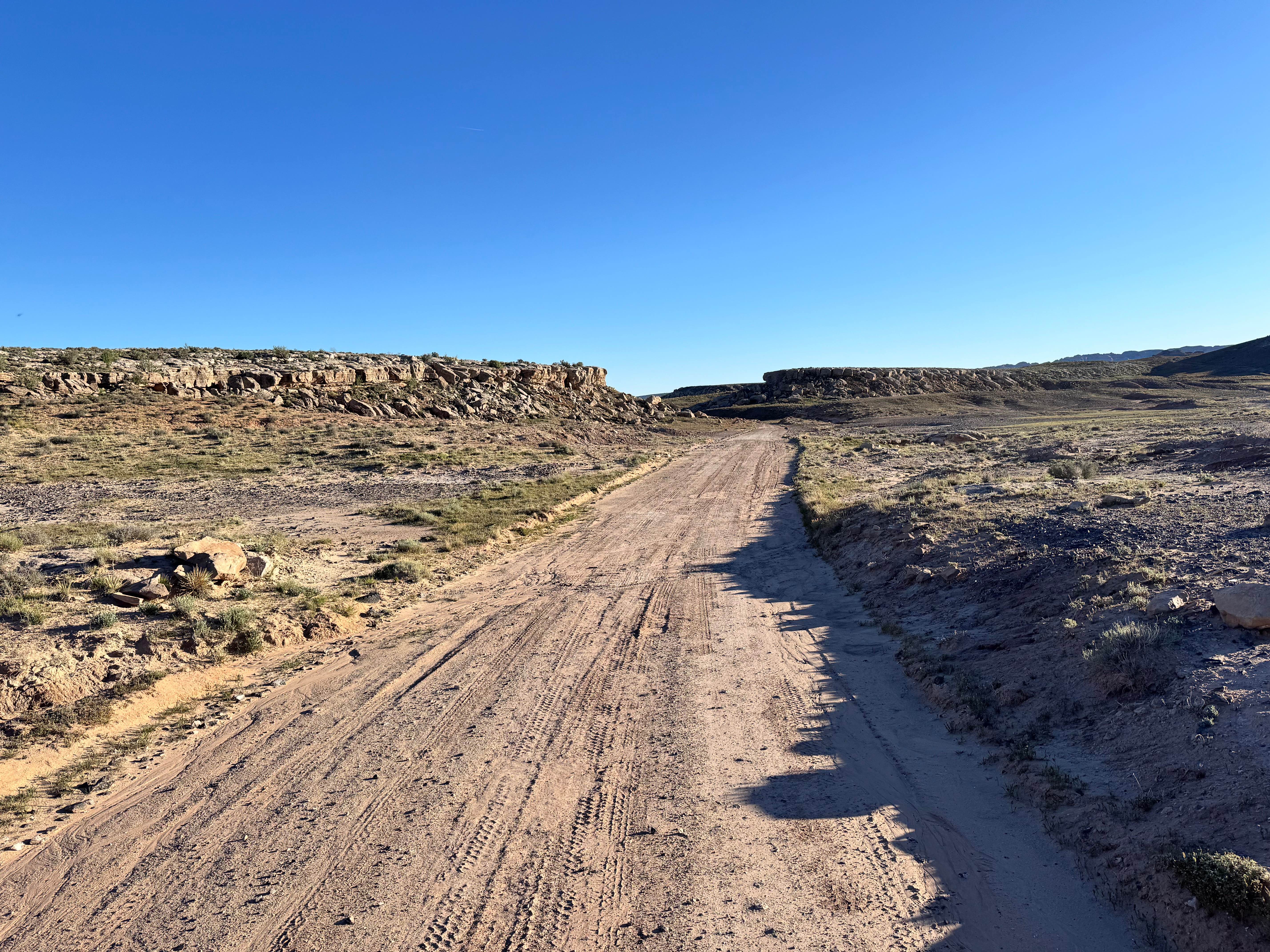
John's Incline
Total Miles
3.3
Tech Rating
Easy
Best Time
Spring, Summer, Fall, Winter
Learn more about John's Trail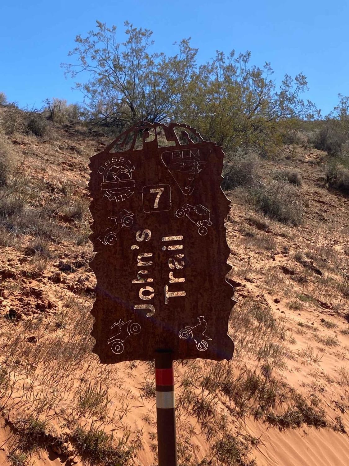
John's Trail
Total Miles
1.1
Tech Rating
Difficult
Best Time
Spring, Summer, Fall, Winter
Learn more about Johnny Canyon
Johnny Canyon
Total Miles
4.1
Tech Rating
Easy
Best Time
Spring, Summer, Fall, Winter
Learn more about Johns Canyon Road - West
Johns Canyon Road - West
Total Miles
12.4
Tech Rating
Easy
Best Time
Spring, Summer, Fall, Winter
Learn more about Jones Ranch North - FS 8123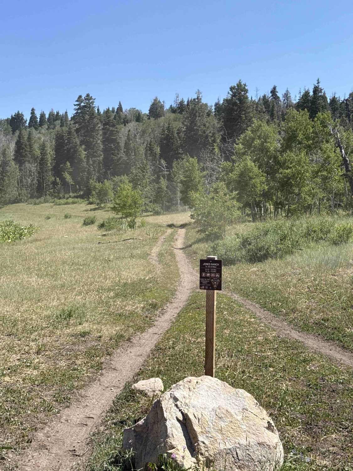
Jones Ranch North - FS 8123
Total Miles
1.8
Tech Rating
Easy
Best Time
Summer, Fall
Learn more about Jones Ranch South - FS 8123
Jones Ranch South - FS 8123
Total Miles
0.7
Tech Rating
Easy
Best Time
Fall, Summer
Learn more about Joseph to Marysvale
Joseph to Marysvale
Total Miles
11.7
Tech Rating
Easy
Best Time
Spring, Summer, Fall
Learn more about Joshua Tree Road
Joshua Tree Road
Total Miles
10.5
Tech Rating
Easy
Best Time
Fall, Summer, Spring
Learn more about Josie Morris Loop
Josie Morris Loop
Total Miles
30.3
Tech Rating
Moderate
Best Time
Spring, Summer, Fall, Winter
Learn more about Judd Hollow Spring 
Judd Hollow Spring
Total Miles
5.8
Tech Rating
Easy
Best Time
Spring, Fall, Winter
Learn more about Judd Hollow/Cedar Mountain Road 
Judd Hollow/Cedar Mountain Road
Total Miles
5.7
Tech Rating
Easy
Best Time
Winter, Fall, Spring
Learn more about Julius Pasture-South Fork Road
Julius Pasture-South Fork Road
Total Miles
1.9
Tech Rating
Moderate
Best Time
Fall, Summer, Spring
Learn more about Juniper Pack Trail
Juniper Pack Trail
Total Miles
1.8
Tech Rating
Easy
Best Time
Spring, Summer, Fall, Winter
Learn more about Juniper Ridge
Juniper Ridge
Total Miles
2.4
Tech Rating
Easy
Best Time
Fall, Summer, Spring
Learn more about Juniper Trail
Juniper Trail
Total Miles
1.7
Tech Rating
Easy
Best Time
Fall, Summer, Spring
ATV trails in Utah

Learn more about 14 Mile Road
14 Mile Road
Total Miles
14.7
Tech Rating
Easy
Best Time
Spring, Summer, Fall, Winter


UTV/side-by-side trails in Utah
Learn more about 14 Mile Road
14 Mile Road
Total Miles
14.7
Tech Rating
Easy
Best Time
Spring, Summer, Fall, Winter
The onX Offroad Difference
onX Offroad combines trail photos, descriptions, difficulty ratings, width restrictions, seasonality, and more in a user-friendly interface. Available on all devices, with offline access and full compatibility with CarPlay and Android Auto. Discover what you’re missing today!