John's Incline
Total Miles
3.3
Technical Rating
Best Time
Spring, Summer, Fall, Winter
Trail Type
Full-Width Road
Accessible By
Trail Overview
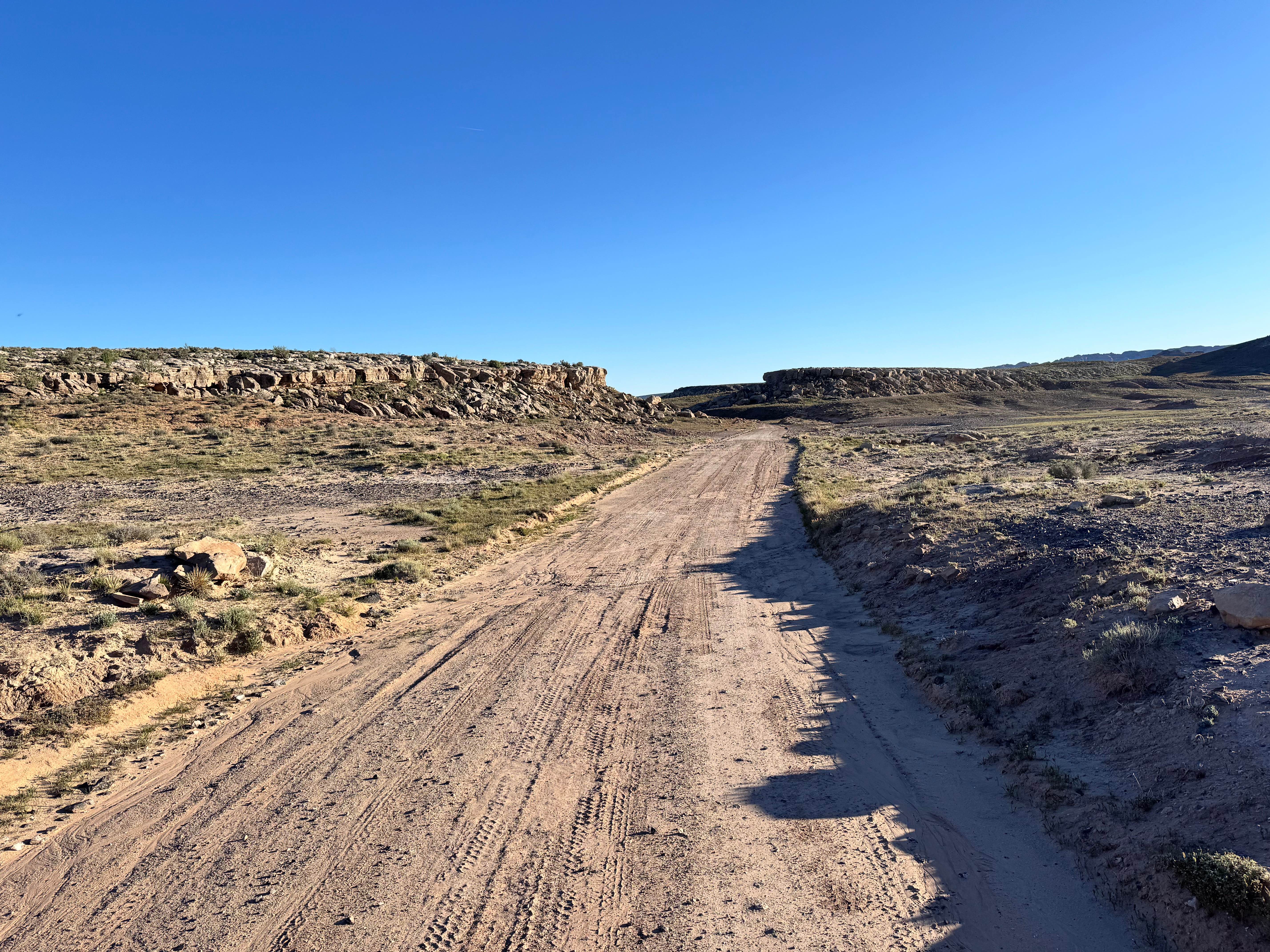
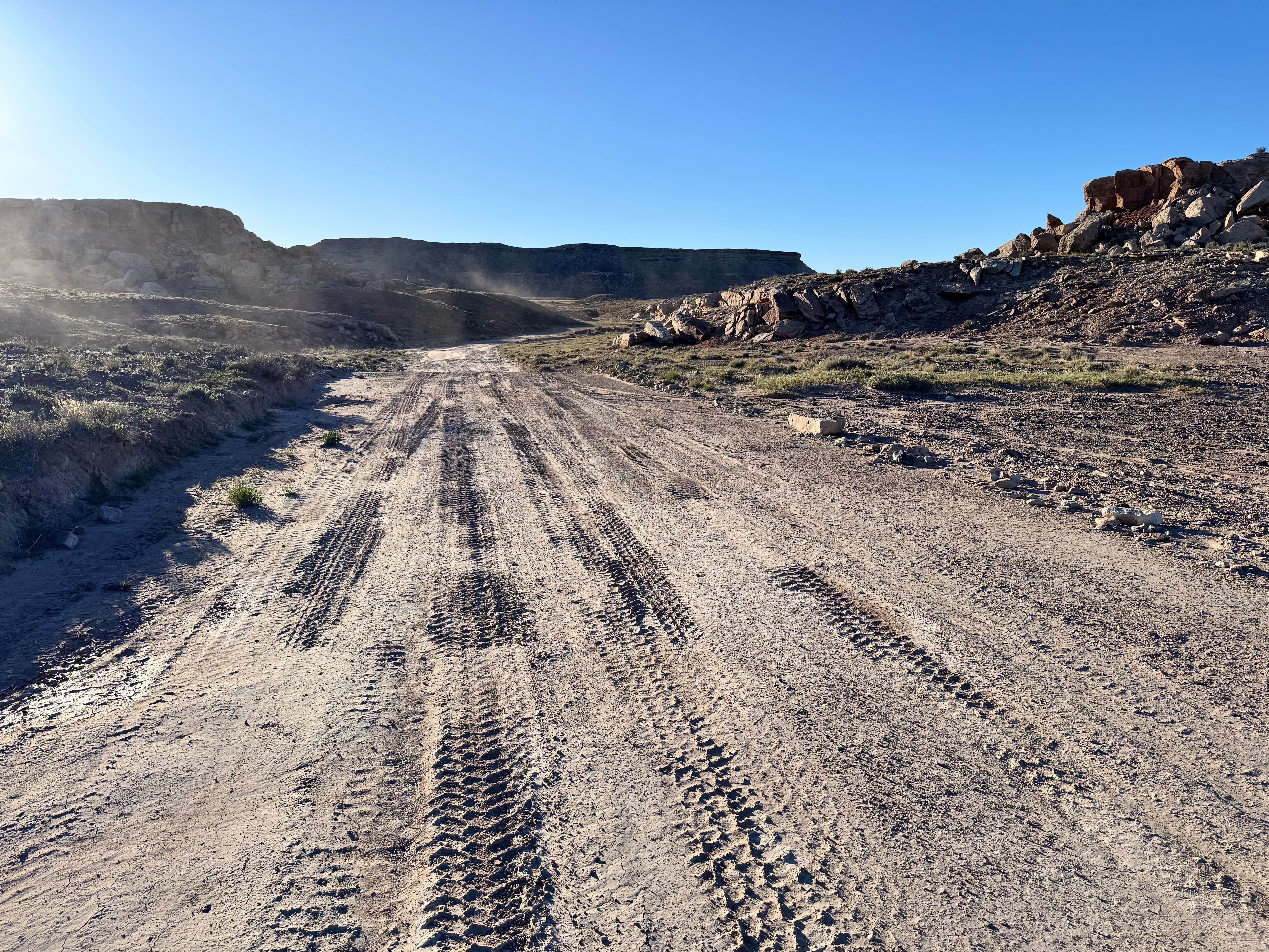
Non-Resident OHV permits apply to ATVs, UTVs, and dirt bikes. Plated street-legal vehicles typically do not need one on legal motorized routes. This route branches off Yellowcat Road and leads into a loop through historic uranium mining country, offering both scenery and a glimpse into the area's industrial past. The road is mostly made up of sand and dirt for the first portion, making it a generally easy drive in dry conditions for most capable vehicles. As you continue deeper into the loop and pass the area known as John's Incline, the surface becomes a bit rockier with scattered and protruding rocks in the surface and rougher sections in the road. While still manageable, drivers should slow down and watch tire placement in these areas. The reward is a scenic drive through terrain once heavily worked during the uranium boom, with wide views of surrounding hills, colorful desert formations, and old mining landscapes that still shape the character of the region today.
Photos of John's Incline
Difficulty
Most of this route is a simple sand and dirt road with no major technical obstacles. After John's Incline, scattered rocks and rougher sections create a slightly bumpier drive, with protruding rocks in most spots measuring less than 12 inches tall. In dry conditions, most stock high-clearance SUVs and 4WD vehicles should complete the route easily.
History
This region is closely tied to the uranium and vanadium mining booms that shaped eastern Utah in the mid-1900s. During the Cold War, demand for uranium surged, bringing roads, claims, camps, and small industrial sites into the desert. Evidence of that era still remains today in the form of old structures, fenced or barricaded mine openings, tailings areas, and abandoned access roads. These remnants are part of the area's story: look, photograph, and respect them without disturbing anything.
Status Reports
John's Incline can be accessed by the following ride types:
- High-Clearance 4x4
- SUV
- SxS (60")
- ATV (50")
- Dirt Bike
John's Incline Map
Popular Trails

Lightning Draw Trail

Main Canyon - FS 70046
South Fork Little Deer Creek (2252)
Burned Aspen Loop - FS 41230
The onX Offroad Difference
onX Offroad combines trail photos, descriptions, difficulty ratings, width restrictions, seasonality, and more in a user-friendly interface. Available on all devices, with offline access and full compatibility with CarPlay and Android Auto. Discover what you’re missing today!