Off-Road Trails in Utah
Discover off-road trails in Utah
Learn more about Hey Joe Canyon
Hey Joe Canyon
Total Miles
8.7
Tech Rating
Moderate
Best Time
Spring, Summer, Fall
Learn more about Hey Joe Canyon - CLOSED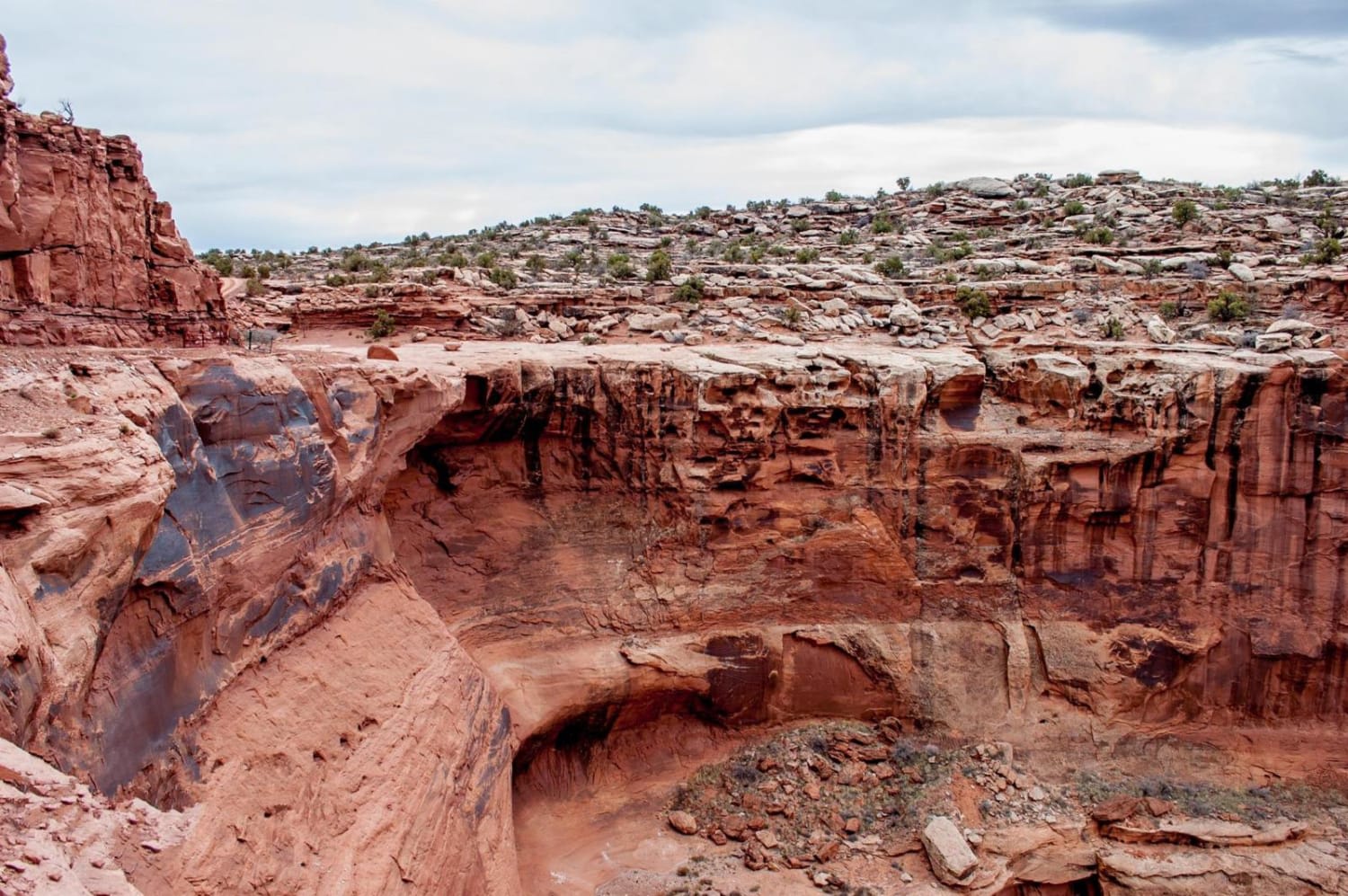
Hey Joe Canyon - CLOSED
Total Miles
0.1
Tech Rating
Moderate
Best Time
Spring, Summer, Fall
Learn more about Hickman Canyon Road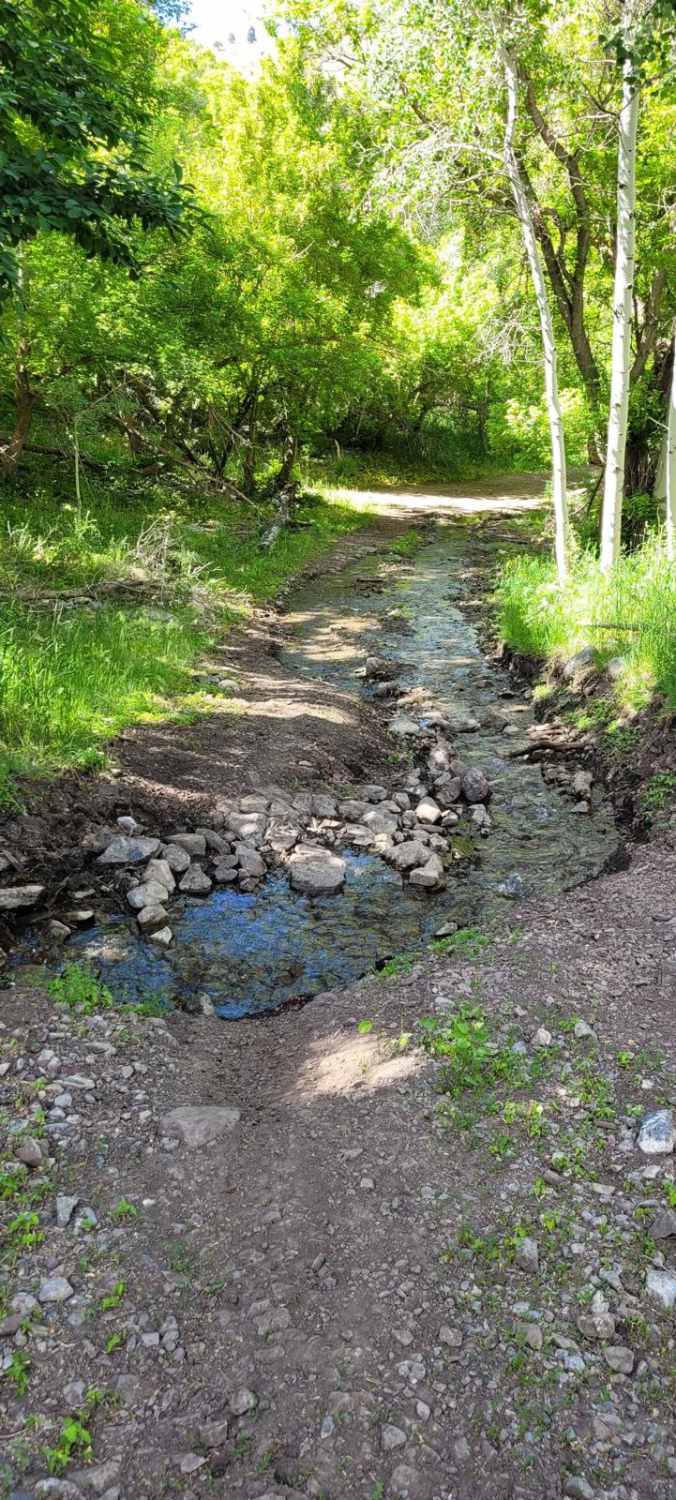
Hickman Canyon Road
Total Miles
6.0
Tech Rating
Easy
Best Time
Summer, Spring, Fall
Learn more about Hidden Hollow Loop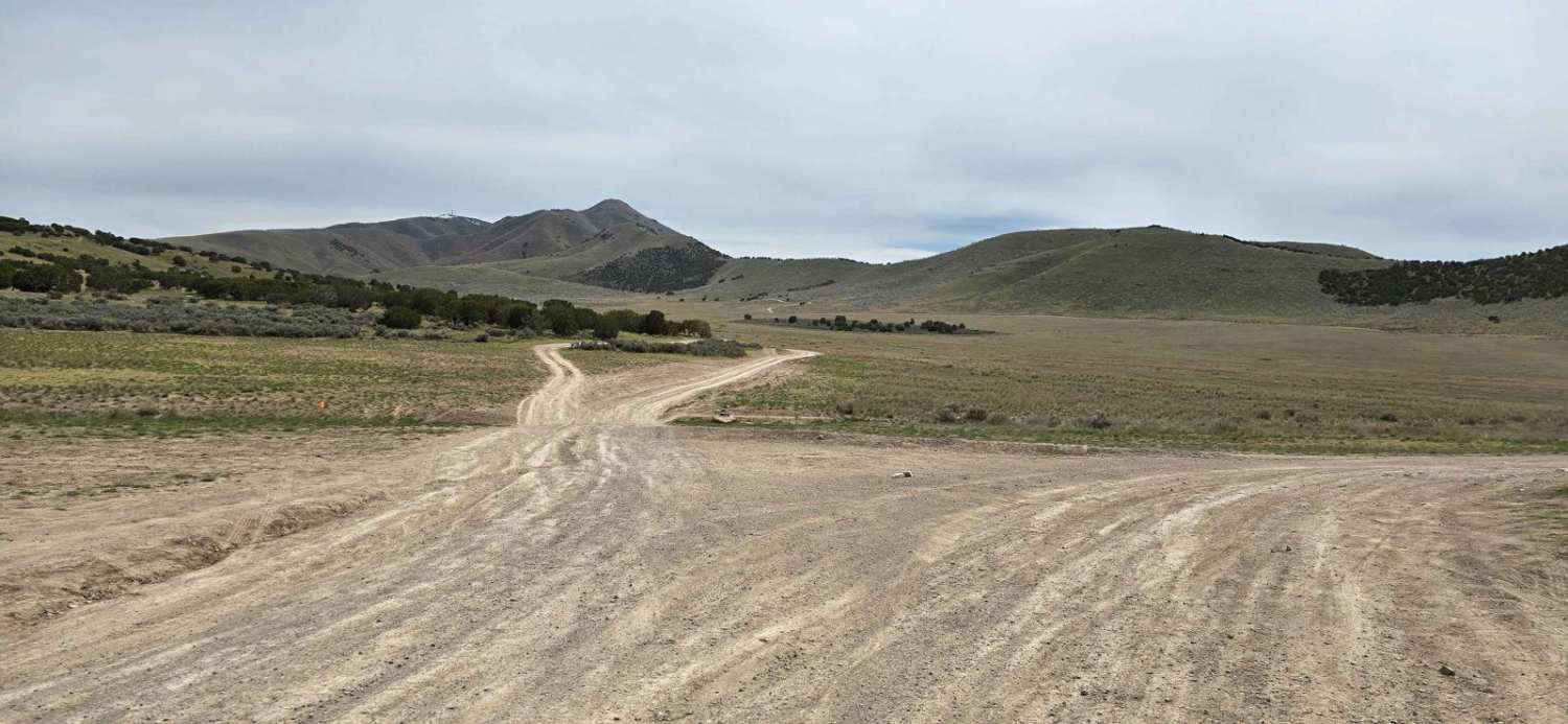
Hidden Hollow Loop
Total Miles
5.8
Tech Rating
Easy
Best Time
Spring, Summer, Fall
Learn more about Hidden Lake Loop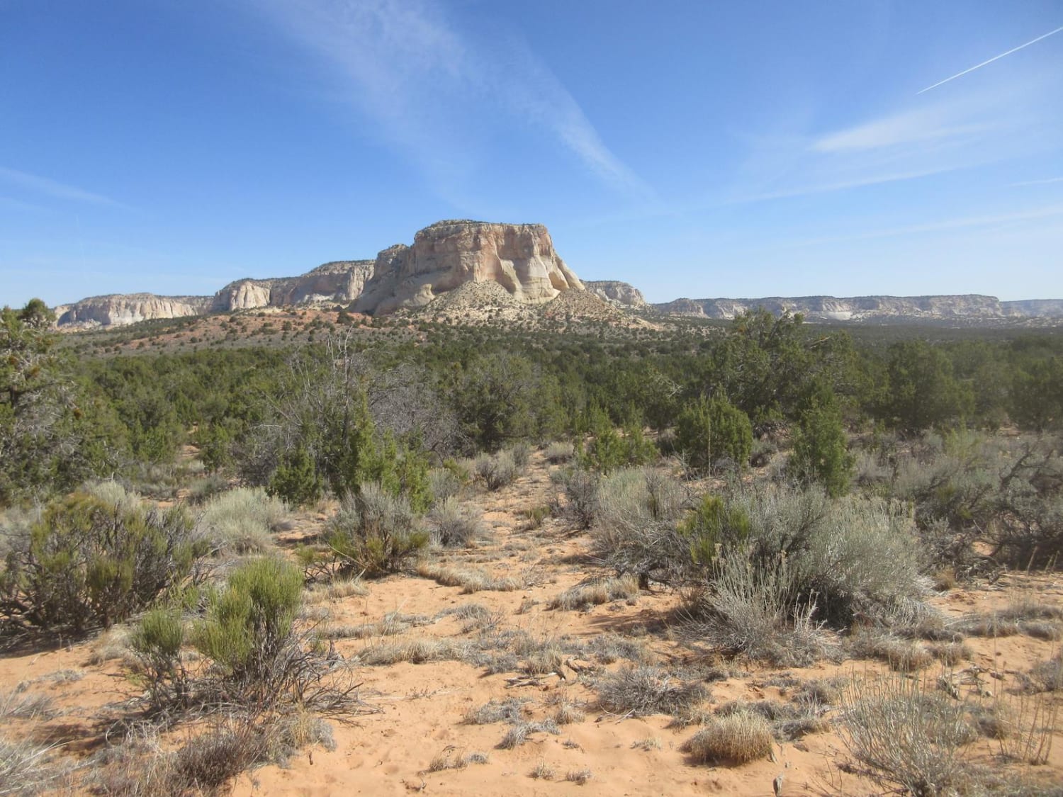
Hidden Lake Loop
Total Miles
19.8
Tech Rating
Easy
Best Time
Spring, Summer, Fall
Learn more about Hidden Splendor Airstrip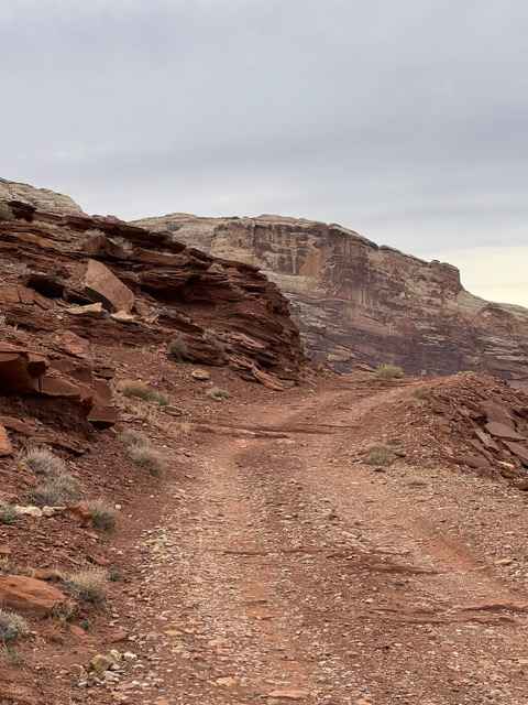
Hidden Splendor Airstrip
Total Miles
0.6
Tech Rating
Easy
Best Time
Spring, Summer, Fall, Winter
Learn more about Hideout Canyon Road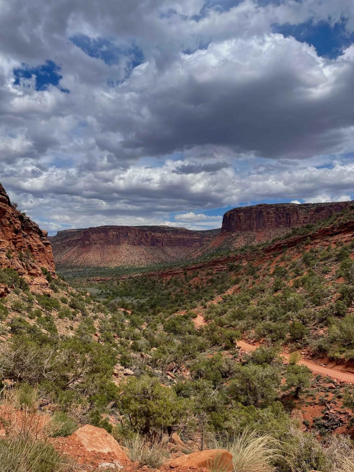
Hideout Canyon Road
Total Miles
11.8
Tech Rating
Easy
Best Time
Summer, Fall, Spring
Learn more about Highlands Road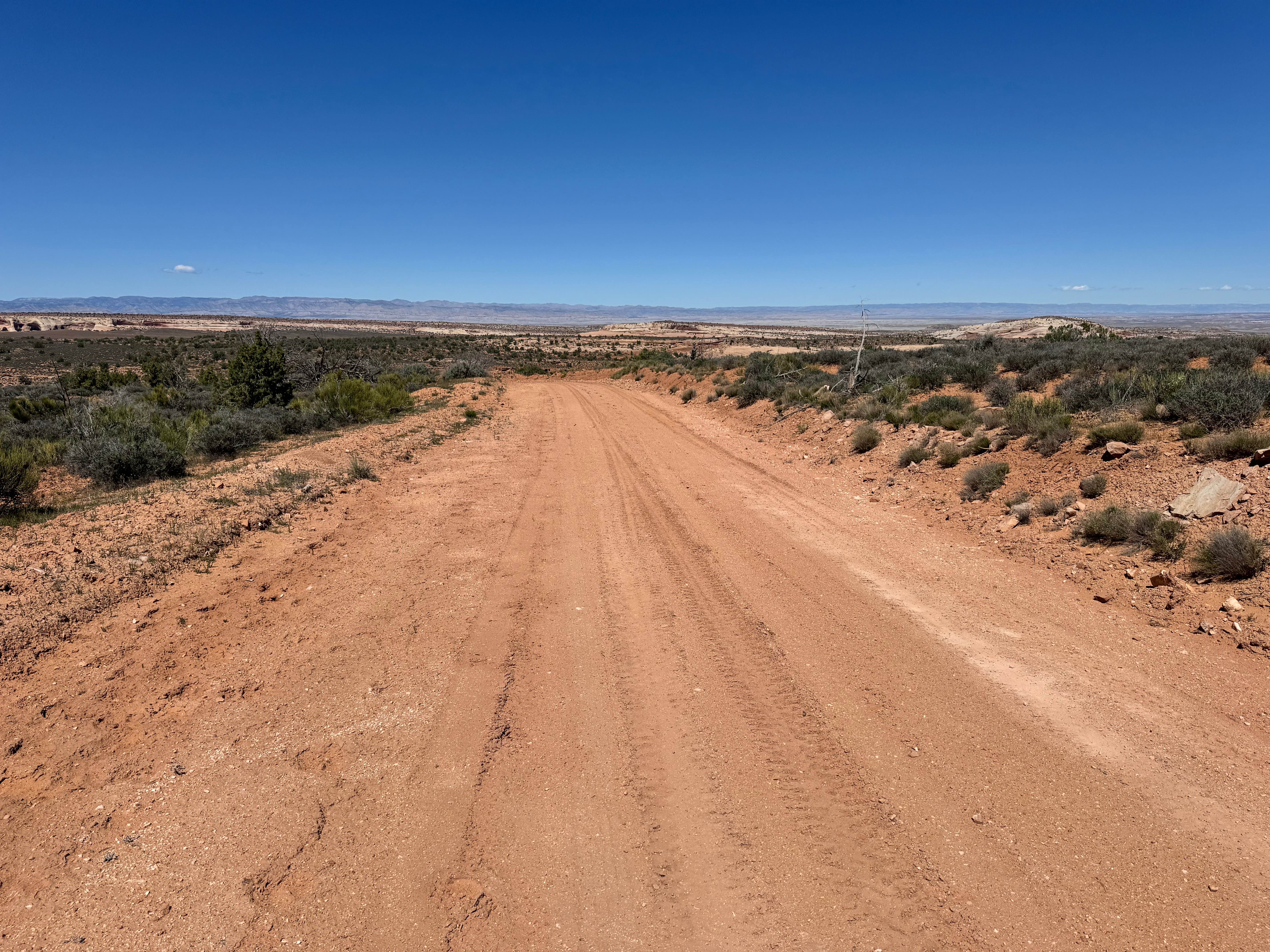
Highlands Road
Total Miles
3.0
Tech Rating
Easy
Best Time
Spring, Summer, Fall, Winter
Learn more about Hill and Dale - FSR 30268
Hill and Dale - FSR 30268
Total Miles
3.2
Tech Rating
Easy
Best Time
Spring, Summer, Fall
Learn more about Hill Hopper
Hill Hopper
Total Miles
4.7
Tech Rating
Moderate
Best Time
Spring, Summer, Fall
Learn more about Hillbilly Rock Climb (FS 4840/R 1375)
Hillbilly Rock Climb (FS 4840/R 1375)
Total Miles
2.8
Tech Rating
Moderate
Best Time
Spring, Summer, Fall
Learn more about Hills Have Eyes
Hills Have Eyes
Total Miles
1.0
Tech Rating
Moderate
Best Time
Spring, Summer, Fall, Winter
Learn more about Hilltop Loop 
Hilltop Loop
Total Miles
14.9
Tech Rating
Easy
Best Time
Spring, Summer, Fall
Learn more about Hog Canyon 1 East - Mosdell Hill+ (BLM HC1Z)
Hog Canyon 1 East - Mosdell Hill+ (BLM HC1Z)
Total Miles
3.7
Tech Rating
Moderate
Best Time
Summer, Fall, Spring
Learn more about Hog Canyon 1 West - Main Street (BLM HC1)
Hog Canyon 1 West - Main Street (BLM HC1)
Total Miles
3.3
Tech Rating
Easy
Best Time
Summer, Fall
Learn more about Hog Canyon 2 - Antenna Hill (BLM HC2)
Hog Canyon 2 - Antenna Hill (BLM HC2)
Total Miles
1.1
Tech Rating
Easy
Best Time
Fall, Summer, Spring
Learn more about Hog Canyon 3 - City Loop (BLM HC3) 
Hog Canyon 3 - City Loop (BLM HC3)
Total Miles
2.0
Tech Rating
Moderate
Best Time
Spring, Summer, Fall
Learn more about Hog Canyon 4 East to White Pinnacles (BLM HC4) 
Hog Canyon 4 East to White Pinnacles (BLM HC4)
Total Miles
2.7
Tech Rating
Difficult
Best Time
Spring, Summer, Fall
Learn more about Hog Canyon 4 West to White Pinnacles (BLM HC4) 
Hog Canyon 4 West to White Pinnacles (BLM HC4)
Total Miles
1.1
Tech Rating
Moderate
Best Time
Spring, Summer, Fall
Learn more about Hog Canyon 5 - Savage Point (BLM HC5/5A) 
Hog Canyon 5 - Savage Point (BLM HC5/5A)
Total Miles
4.7
Tech Rating
Difficult
Best Time
Spring, Summer, Fall
ATV trails in Utah

Learn more about 14 Mile Road
14 Mile Road
Total Miles
14.7
Tech Rating
Easy
Best Time
Spring, Summer, Fall, Winter


UTV/side-by-side trails in Utah
Learn more about 14 Mile Road
14 Mile Road
Total Miles
14.7
Tech Rating
Easy
Best Time
Spring, Summer, Fall, Winter
The onX Offroad Difference
onX Offroad combines trail photos, descriptions, difficulty ratings, width restrictions, seasonality, and more in a user-friendly interface. Available on all devices, with offline access and full compatibility with CarPlay and Android Auto. Discover what you’re missing today!