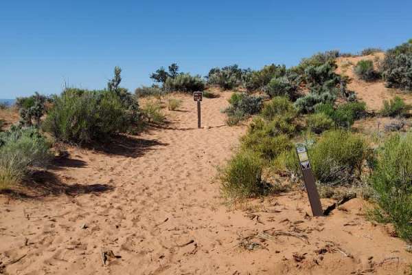
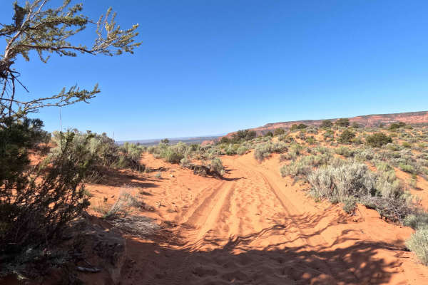
Trail Overview
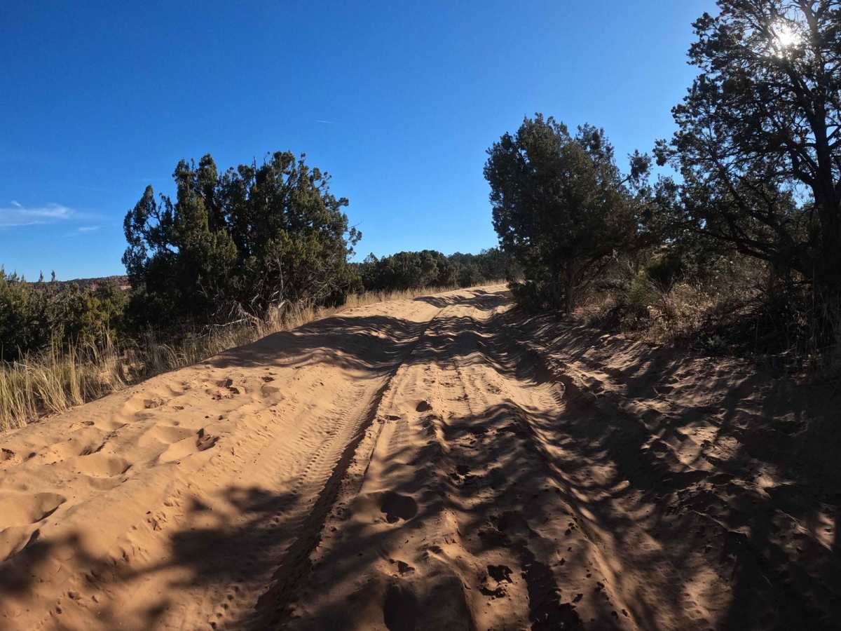
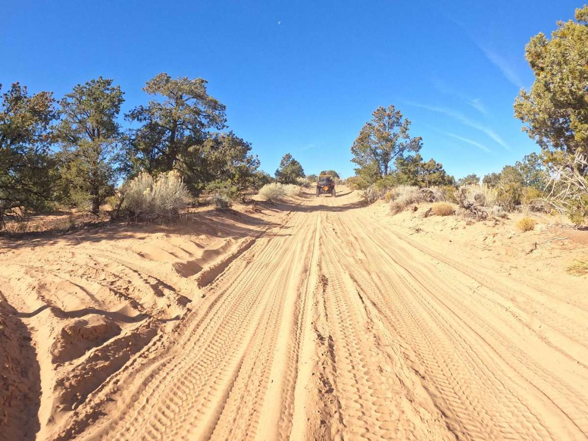
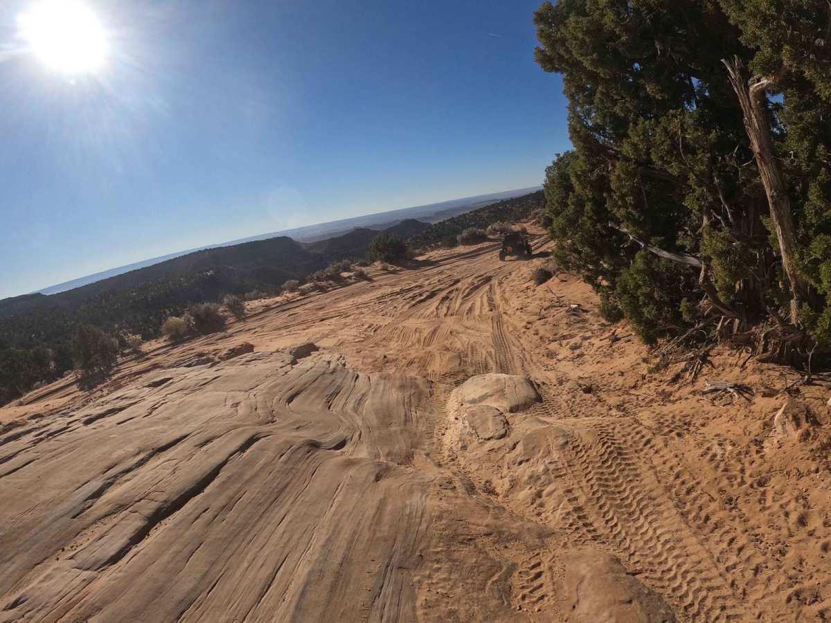
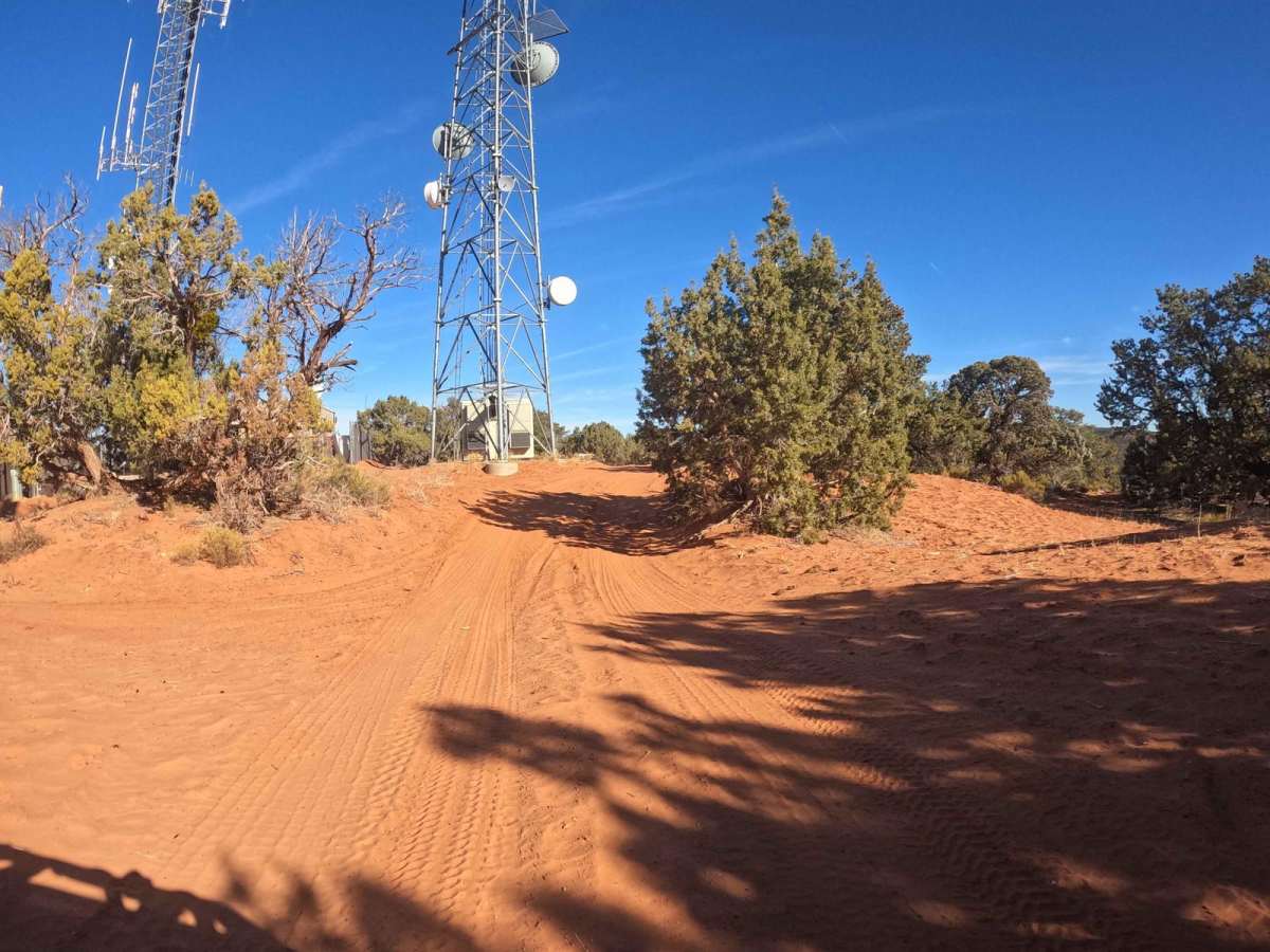
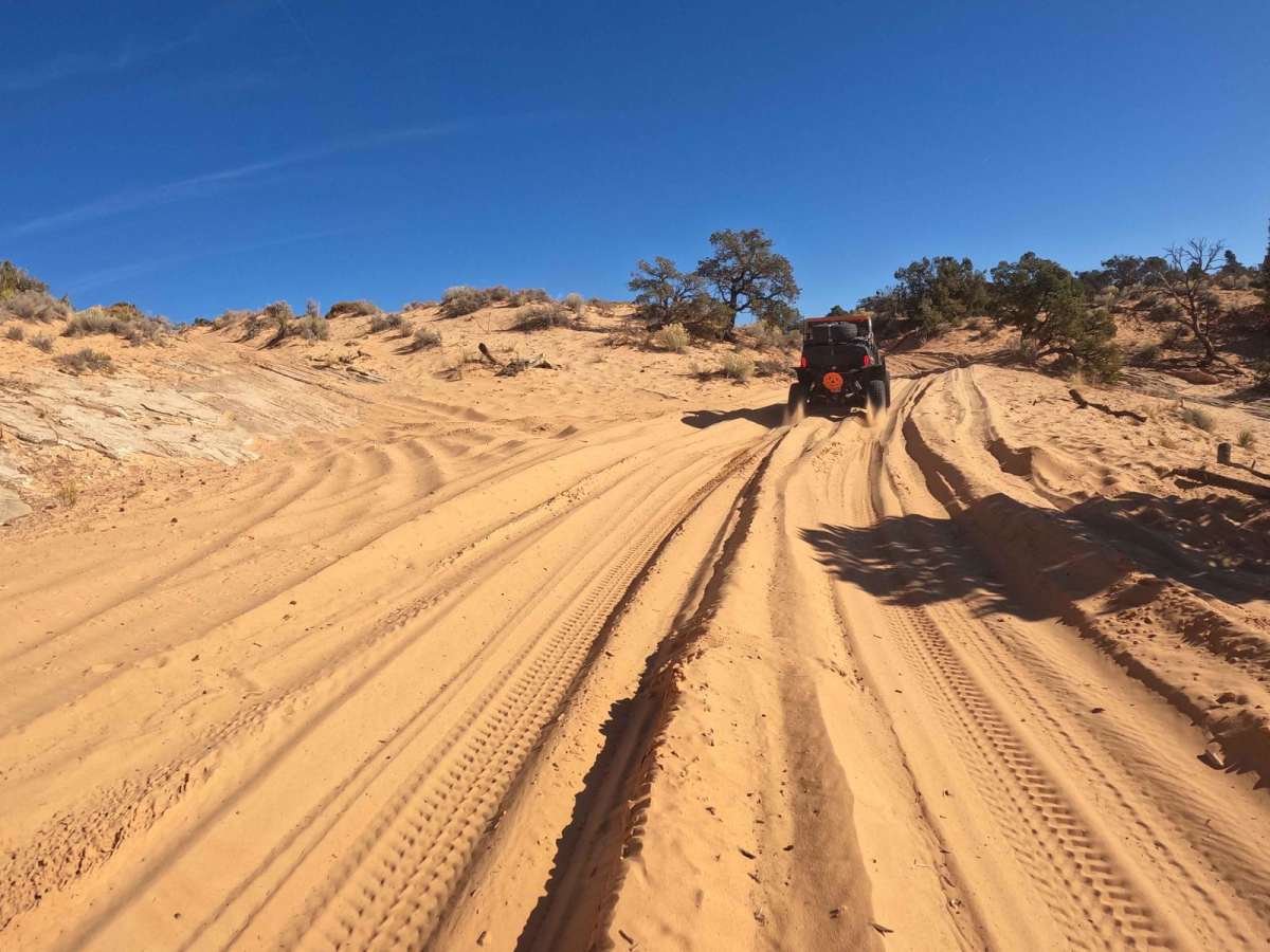
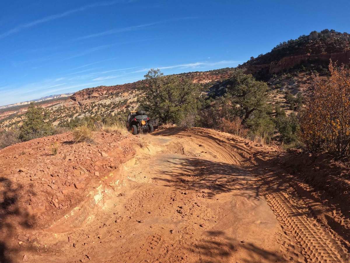
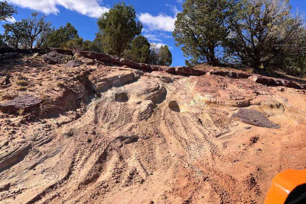
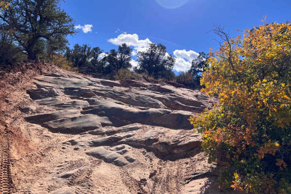
This is a fun, relatively easy trail that gives you a taste of Hog Canyon (HC). It intersects HC1 as you top the mesa to the right. The trail is used by maintenance crews. Shortly after entering the trail, there is a short section of deeper sand. There are some smaller rock ledges and slick rock areas on the trail. The trail terminates at a large set of antennas with a fantastic view to the south over Kanab and the Kaibab area. The point is a great place to lunch or take a hike and enjoy the area. This is a fun area for those with a less capable vehicle or just looking for a fun place for a family outing. Please Note: HC is a set of defined trails, AKA a trail park. These defined trails vary in difficulty to provide challenges for all types of vehicles and skill levels. It is also a great area to learn new skills on these trails. HC is NOT an open-riding area. You are expected to stay on the defined trails and, under no circumstances, create new trails. In addition, please do not build upon someone else's desecration of the area by riding on trails or bypasses that have been created by others. Please obey all BLM-posted signs. OnX asks everyone to support the Tread Lightly principles.
Difficulty
This is a relatively easy trail with some deeper sand on the first part of the tail. This sand can be an issue if there has been a lot of traffic and there has not been any rain for a while. This should not be a problem for most off-road vehicles with the appropriate tire air pressure. HC is a four-wheel drive area, which does not imply an AWD vehicle area.