Off-Road Trails in Utah
Discover off-road trails in Utah
Learn more about Grassy Mountain Ridge
Grassy Mountain Ridge
Total Miles
0.7
Tech Rating
Easy
Best Time
Spring, Summer, Fall, Winter
Learn more about Great Western Trail
Great Western Trail
Total Miles
1.9
Tech Rating
Moderate
Best Time
Summer, Fall
Learn more about Great Western Trail - Pine Lake to Torrey, Utah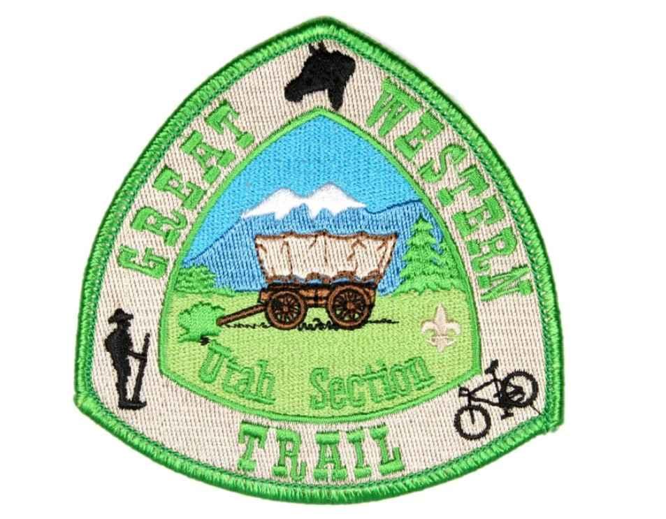
Great Western Trail - Pine Lake to Torrey, Utah
Total Miles
78.0
Tech Rating
Easy
Best Time
Spring, Summer, Fall
Learn more about Great Western Trail South
Great Western Trail South
Total Miles
8.0
Tech Rating
Easy
Best Time
Spring, Summer, Fall
Learn more about Greely Hill Flats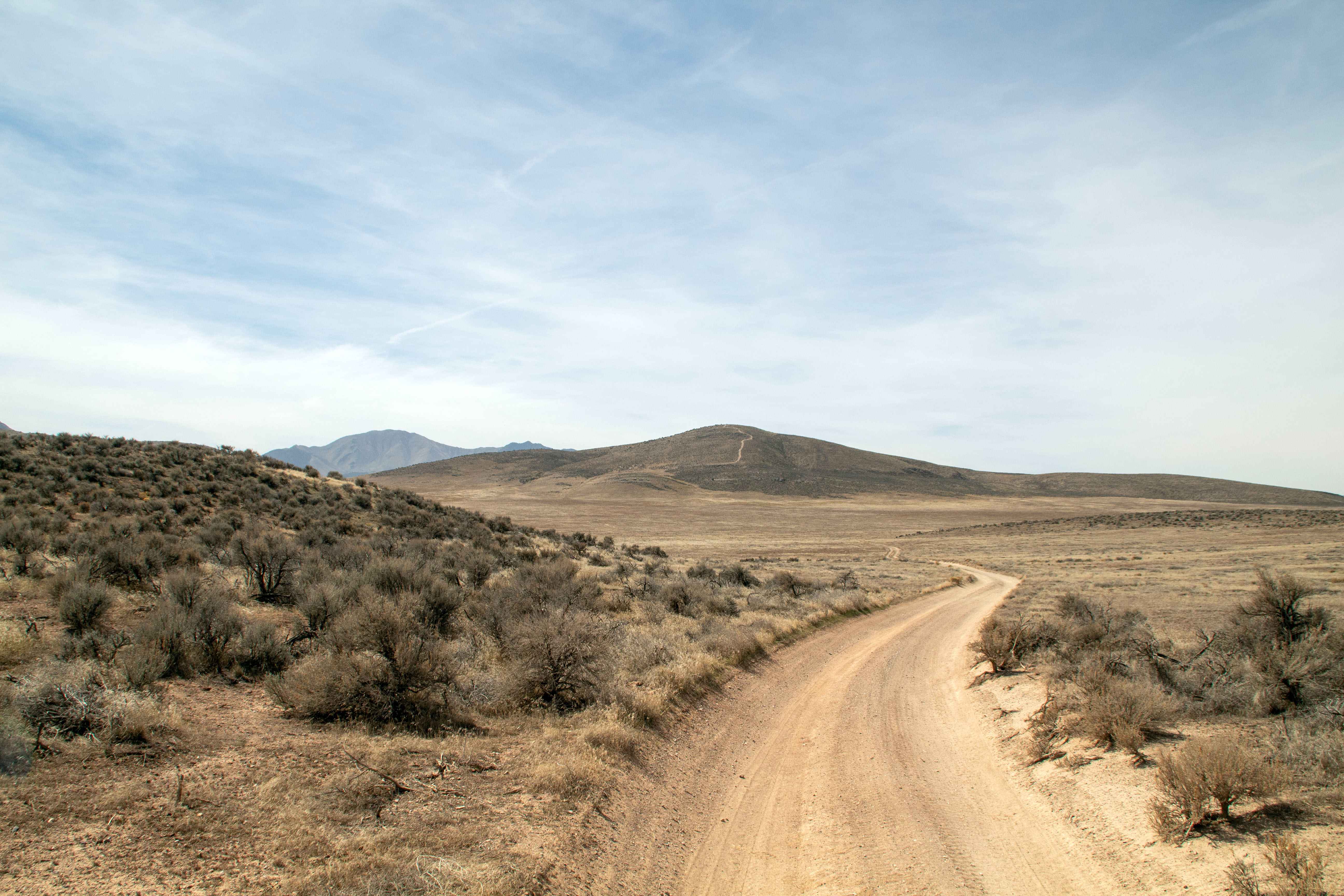
Greely Hill Flats
Total Miles
3.0
Tech Rating
Easy
Best Time
Spring, Summer, Fall, Winter
Learn more about Green River Cutoff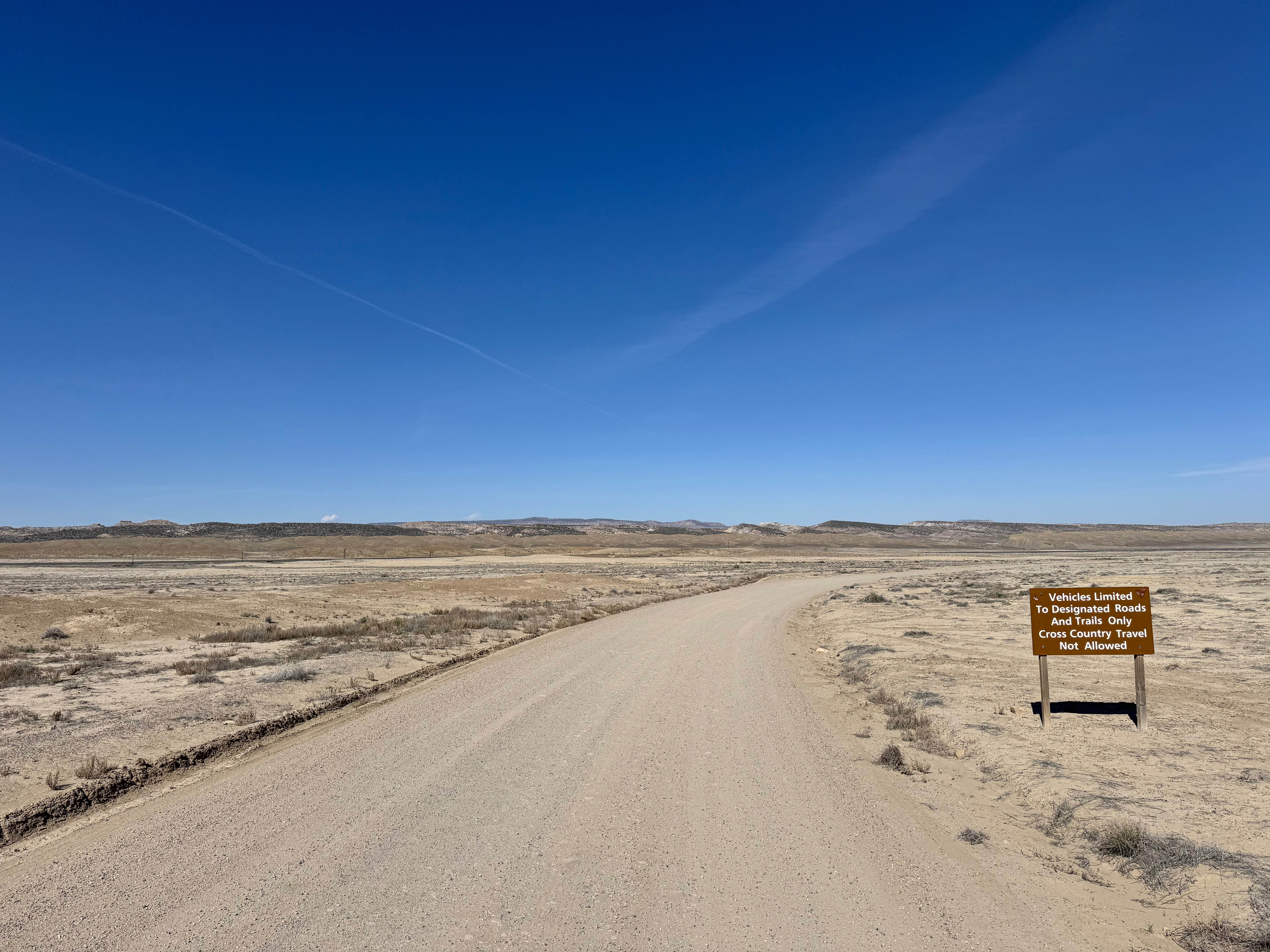
Green River Cutoff
Total Miles
43.8
Tech Rating
Easy
Best Time
Spring, Summer, Fall, Winter
Learn more about Green River Cutoff ATV 
Green River Cutoff ATV
Total Miles
2.5
Tech Rating
Easy
Best Time
Spring, Fall, Winter
Learn more about Green River Farm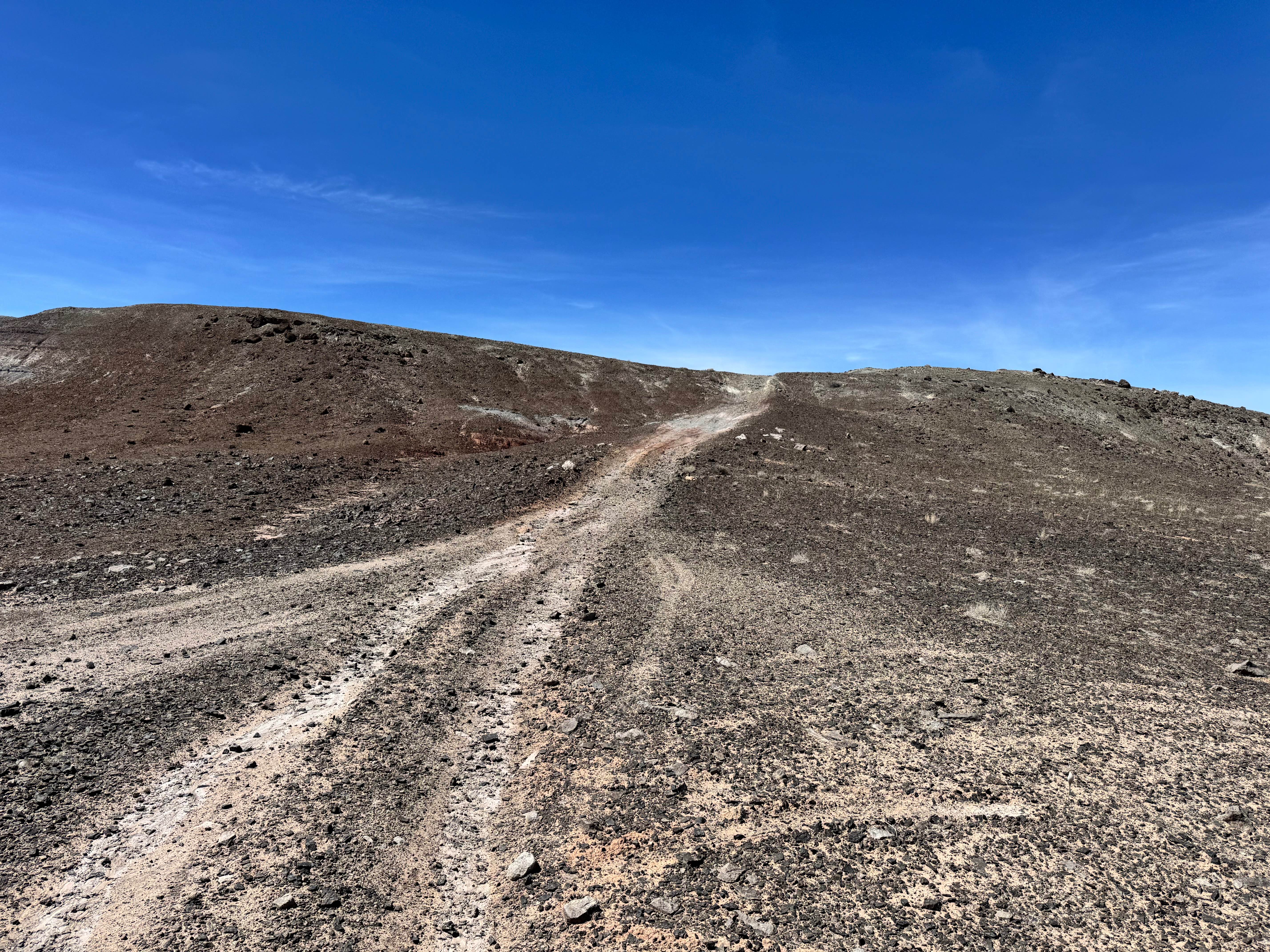
Green River Farm
Total Miles
2.0
Tech Rating
Easy
Best Time
Spring, Summer, Fall, Winter
Learn more about Green River Ledges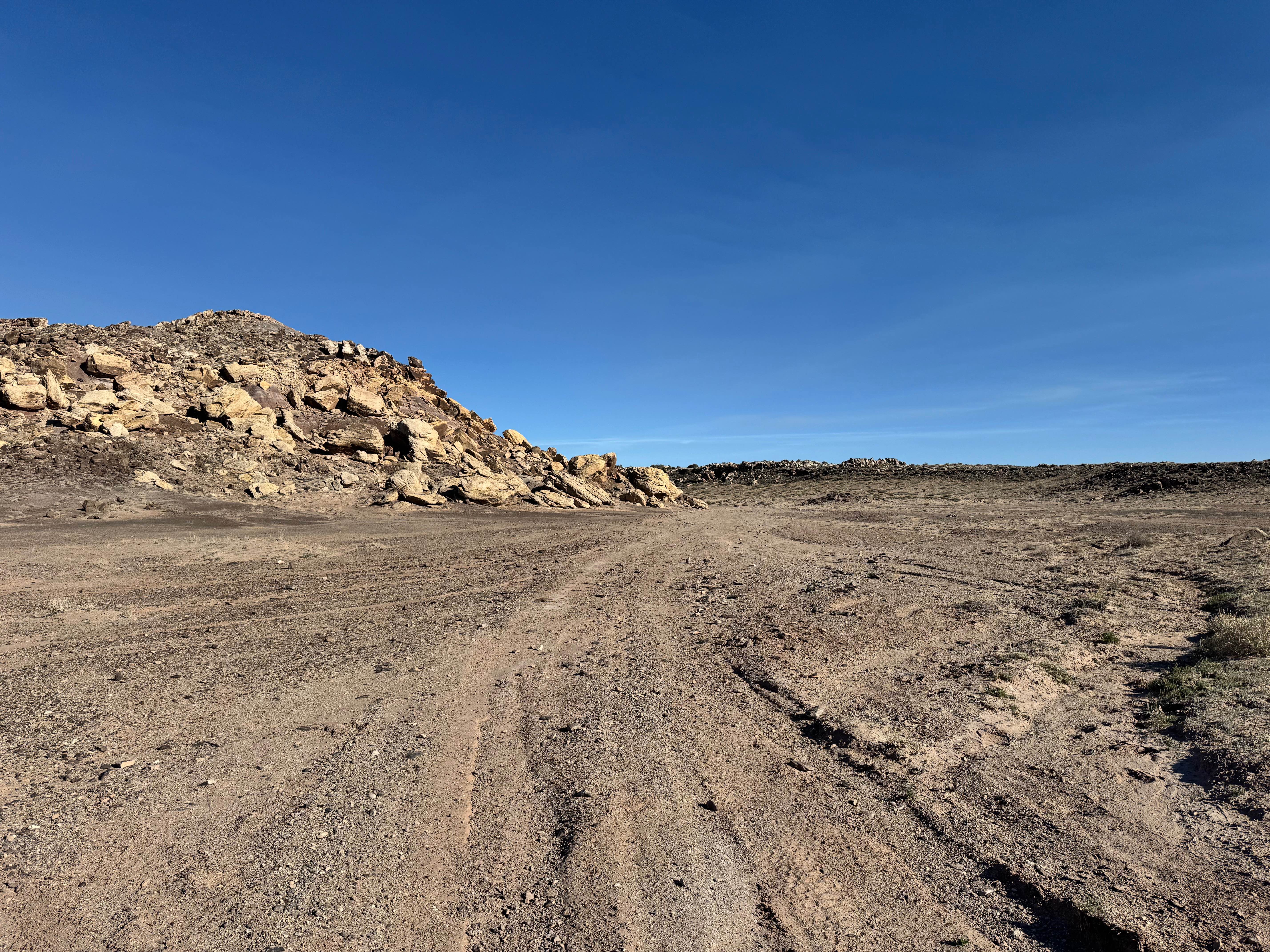
Green River Ledges
Total Miles
3.4
Tech Rating
Moderate
Best Time
Spring, Summer, Fall, Winter
Learn more about Green River Overlook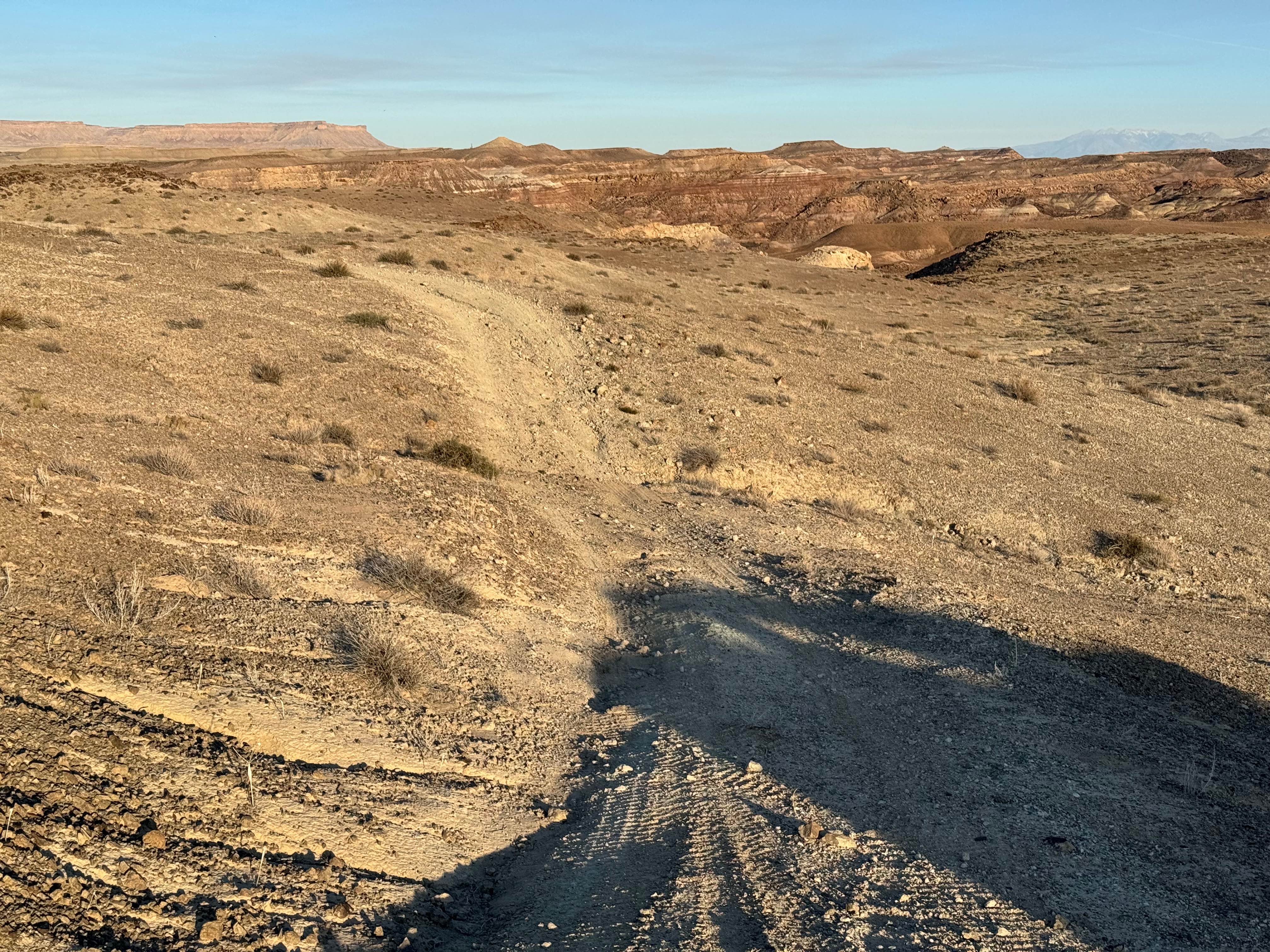
Green River Overlook
Total Miles
1.4
Tech Rating
Easy
Best Time
Spring, Summer, Fall, Winter
Learn more about Green River Rim Trail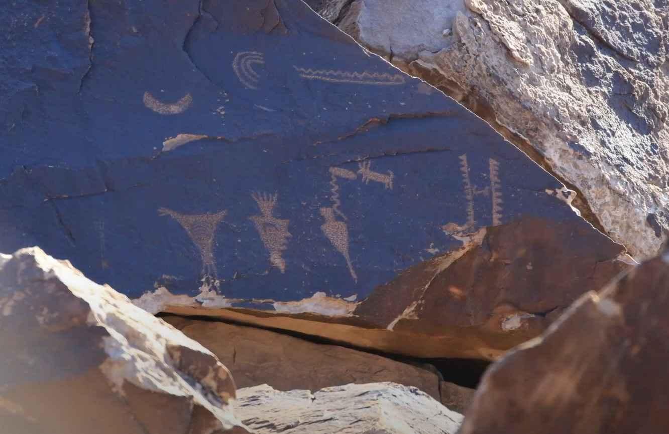
Green River Rim Trail
Total Miles
4.2
Tech Rating
Easy
Best Time
Spring, Summer, Fall
Learn more about Green River to Highway 6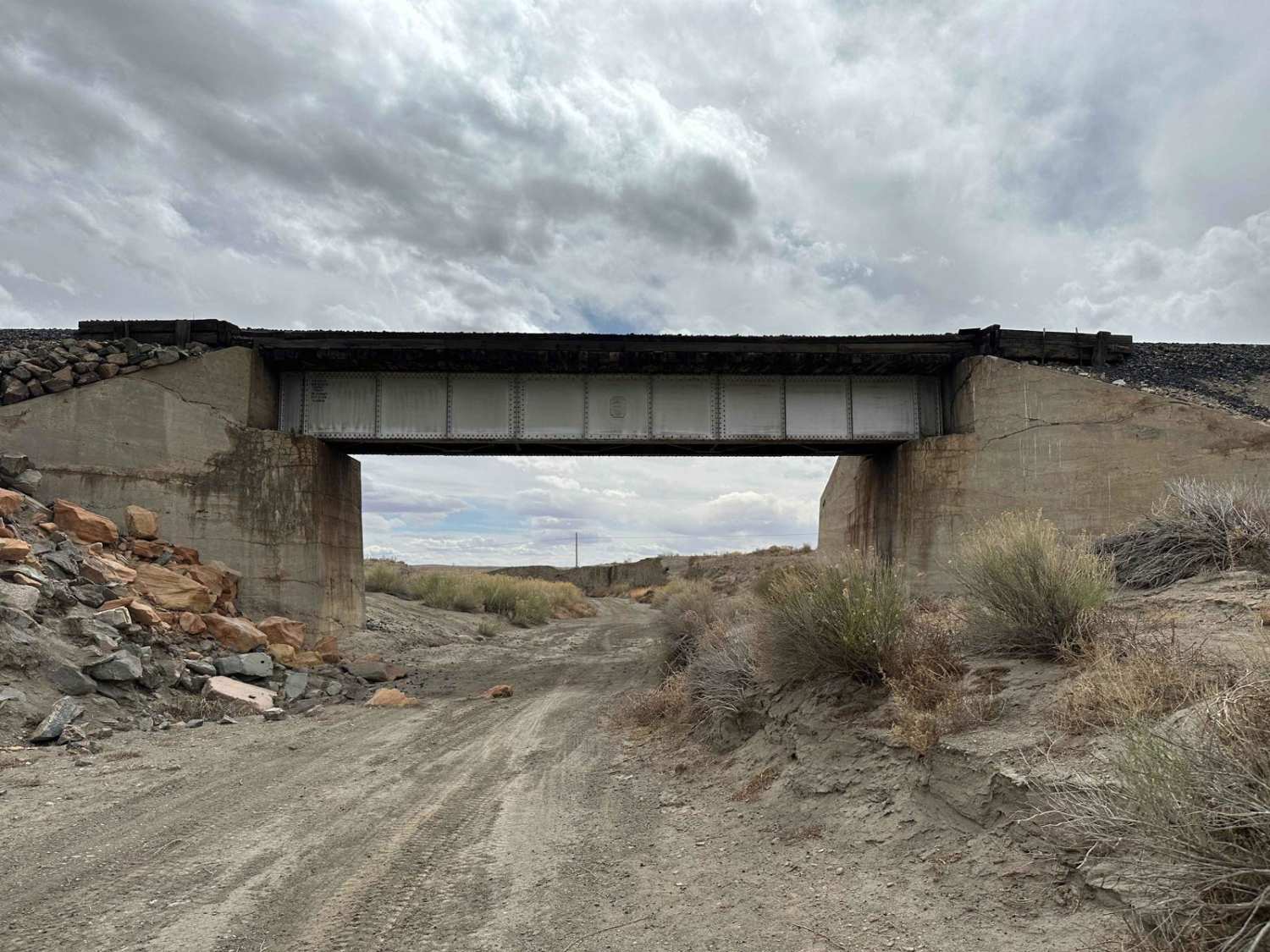
Green River to Highway 6
Total Miles
8.2
Tech Rating
Easy
Best Time
Spring, Summer, Fall, Winter
Learn more about Green River to Smith's Cabin
Green River to Smith's Cabin
Total Miles
18.2
Tech Rating
Moderate
Best Time
Spring, Summer, Fall, Winter
Learn more about Green Springs Trail
Green Springs Trail
Total Miles
2.2
Tech Rating
Moderate
Best Time
Spring, Summer, Fall
Learn more about Greenwich Canyon Road (FS# 40085)
Greenwich Canyon Road (FS# 40085)
Total Miles
3.4
Tech Rating
Easy
Best Time
Spring, Summer, Fall
Learn more about Grizzly Ridge Yurt
Grizzly Ridge Yurt
Total Miles
4.6
Tech Rating
Easy
Best Time
Spring, Summer, Fall, Winter
Learn more about Gunlock Campground Access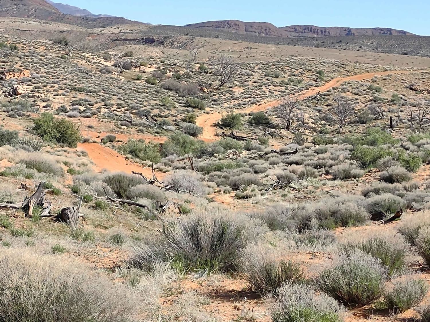
Gunlock Campground Access
Total Miles
3.5
Tech Rating
Easy
Best Time
Spring, Fall, Winter, Summer
Learn more about Gunlock Falls Backside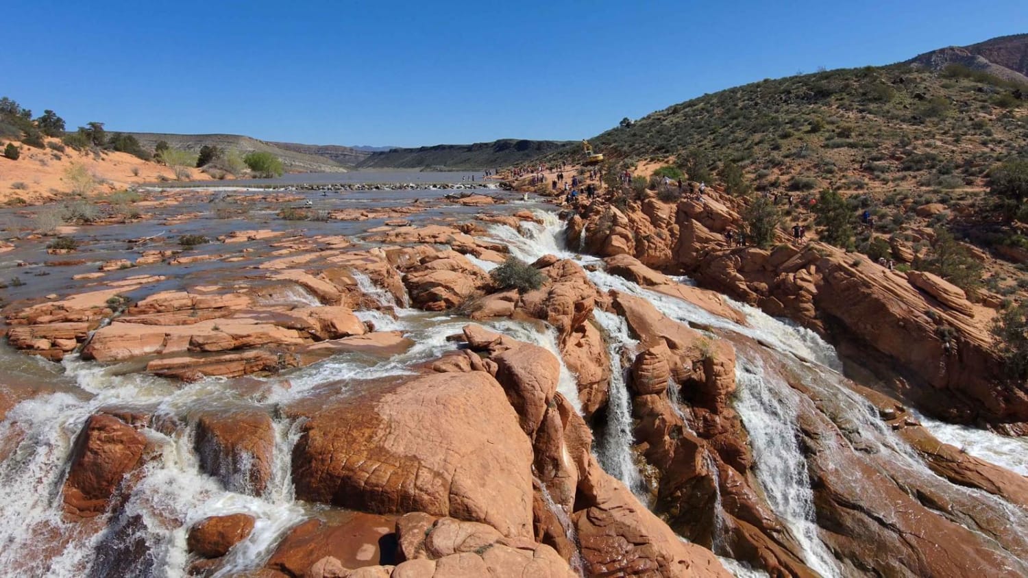
Gunlock Falls Backside
Total Miles
3.6
Tech Rating
Easy
Best Time
Spring, Summer, Fall, Winter
ATV trails in Utah

Learn more about 14 Mile Road
14 Mile Road
Total Miles
14.7
Tech Rating
Easy
Best Time
Spring, Summer, Fall, Winter


UTV/side-by-side trails in Utah
Learn more about 14 Mile Road
14 Mile Road
Total Miles
14.7
Tech Rating
Easy
Best Time
Spring, Summer, Fall, Winter
The onX Offroad Difference
onX Offroad combines trail photos, descriptions, difficulty ratings, width restrictions, seasonality, and more in a user-friendly interface. Available on all devices, with offline access and full compatibility with CarPlay and Android Auto. Discover what you’re missing today!