Off-Road Trails in Utah
Discover off-road trails in Utah
Learn more about Foothills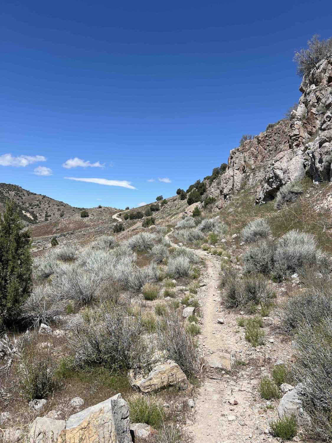
Foothills
Total Miles
2.9
Tech Rating
Moderate
Best Time
Spring, Summer, Fall, Winter
Learn more about Forest Lake (2171)
Forest Lake (2171)
Total Miles
0.7
Tech Rating
Moderate
Best Time
Summer, Fall
Learn more about Forest Lake Trail
Forest Lake Trail
Total Miles
1.8
Tech Rating
Moderate
Best Time
Summer, Fall
Learn more about Forest Service 114
Forest Service 114
Total Miles
4.5
Tech Rating
Easy
Best Time
Spring, Summer, Fall
Learn more about Forshea Mountain Overlook Loop
Forshea Mountain Overlook Loop
Total Miles
6.6
Tech Rating
Easy
Best Time
Spring, Summer, Fall
Learn more about Forshea Mountain South
Forshea Mountain South
Total Miles
4.5
Tech Rating
Easy
Best Time
Spring, Winter, Fall, Summer
Learn more about Forshea Troughs (Trail 40073)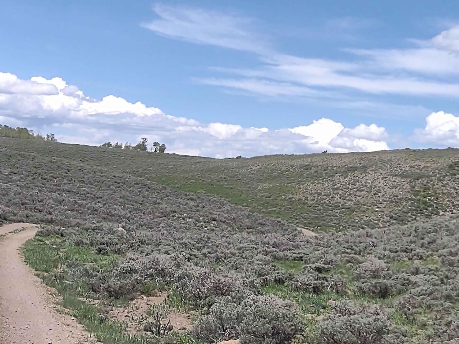
Forshea Troughs (Trail 40073)
Total Miles
2.9
Tech Rating
Easy
Best Time
Spring, Summer, Fall
Learn more about Fossil Point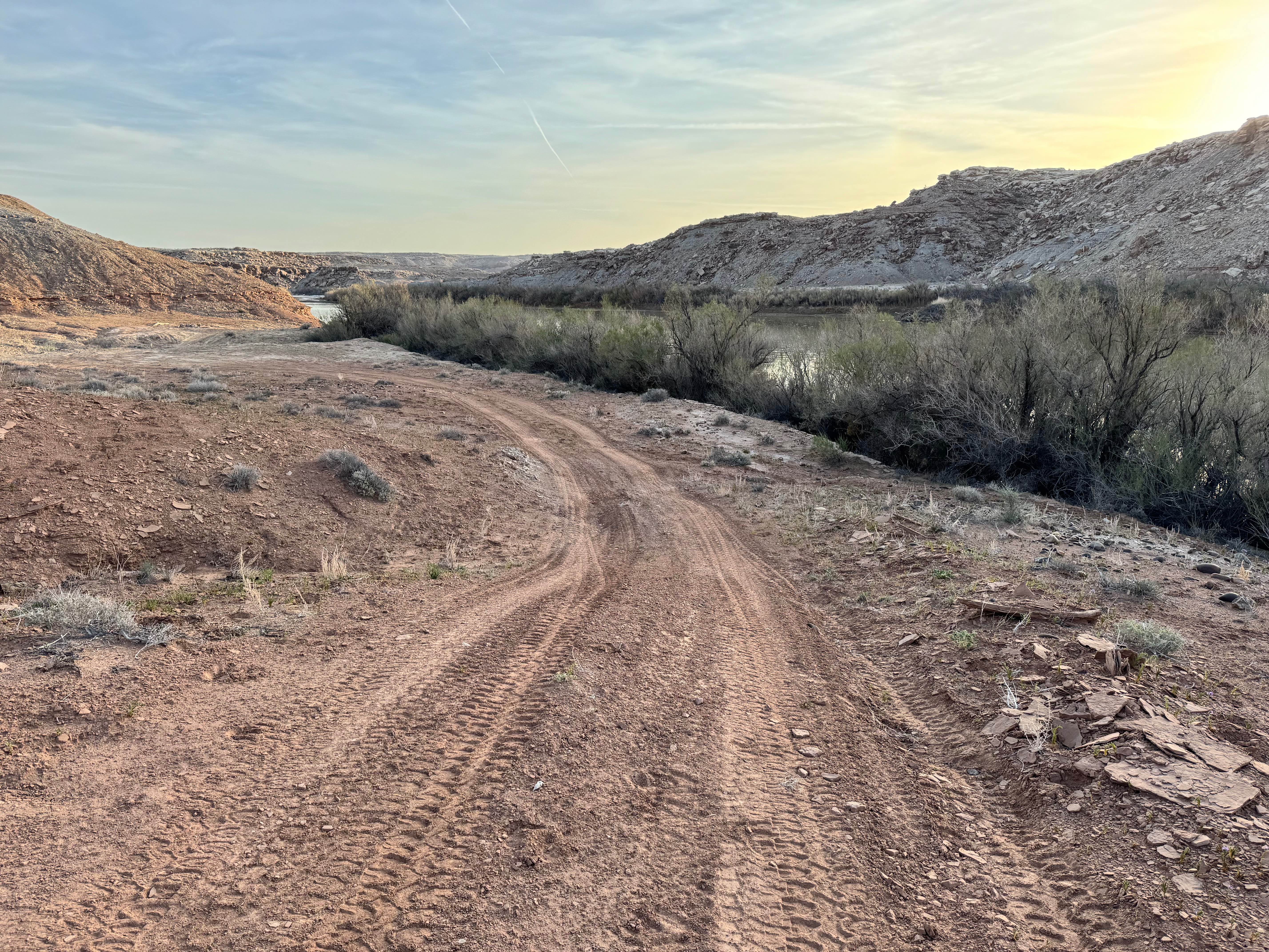
Fossil Point
Total Miles
5.9
Tech Rating
Easy
Best Time
Spring, Summer, Fall, Winter
Learn more about Foundation Loop (FR 80257-A)
Foundation Loop (FR 80257-A)
Total Miles
0.3
Tech Rating
Moderate
Best Time
Summer, Fall
Learn more about Four Arches Canyon
Four Arches Canyon
Total Miles
2.8
Tech Rating
Moderate
Best Time
Spring, Summer, Fall
Learn more about Four Mile Bench Road-BLM440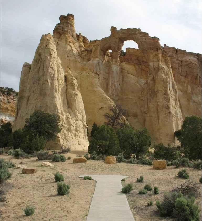
Four Mile Bench Road-BLM440
Total Miles
12.0
Tech Rating
Easy
Best Time
Spring, Summer, Fall
Learn more about Fourth Water #017
Fourth Water #017
Total Miles
2.2
Tech Rating
Moderate
Best Time
Spring, Summer, Fall
Learn more about FR40113/PST 13
FR40113/PST 13
Total Miles
14.7
Tech Rating
Easy
Best Time
Spring, Summer, Fall
Learn more about FR50084/Recapture Road
FR50084/Recapture Road
Total Miles
8.0
Tech Rating
Easy
Best Time
Spring, Summer, Fall
Learn more about Francis Peak Road (FS 009)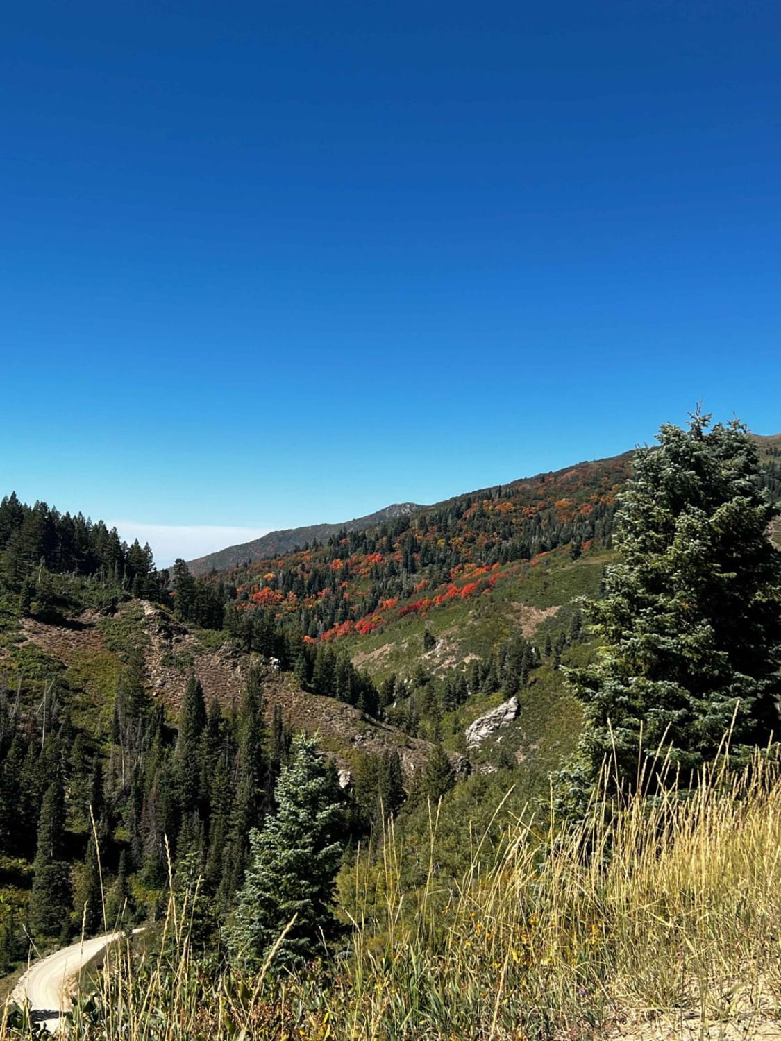
Francis Peak Road (FS 009)
Total Miles
4.4
Tech Rating
Easy
Best Time
Spring, Summer, Fall
Learn more about Frank Young Canyon - FS 8097
Frank Young Canyon - FS 8097
Total Miles
1.2
Tech Rating
Easy
Best Time
Summer, Fall
Learn more about Franklin Basin Road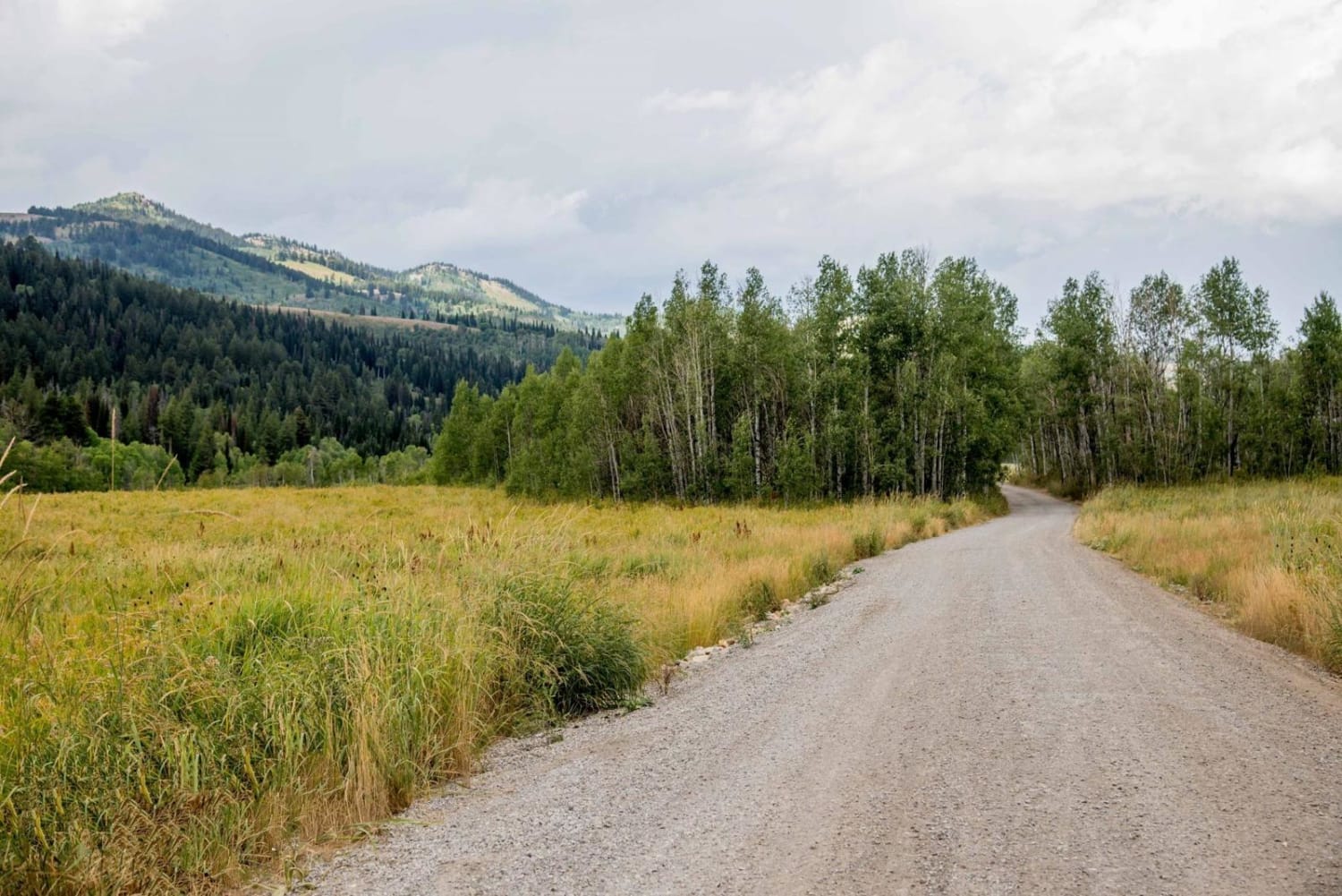
Franklin Basin Road
Total Miles
11.3
Tech Rating
Easy
Best Time
Summer, Fall
Learn more about Freemont ATV Trail South (BLM 33002)
Freemont ATV Trail South (BLM 33002)
Total Miles
13.2
Tech Rating
Easy
Best Time
Summer, Fall, Spring
Learn more about French Hollow #027
French Hollow #027
Total Miles
3.6
Tech Rating
Moderate
Best Time
Spring, Summer, Fall
ATV trails in Utah

Learn more about 14 Mile Road
14 Mile Road
Total Miles
14.7
Tech Rating
Easy
Best Time
Spring, Summer, Fall, Winter


UTV/side-by-side trails in Utah
Learn more about 14 Mile Road
14 Mile Road
Total Miles
14.7
Tech Rating
Easy
Best Time
Spring, Summer, Fall, Winter
The onX Offroad Difference
onX Offroad combines trail photos, descriptions, difficulty ratings, width restrictions, seasonality, and more in a user-friendly interface. Available on all devices, with offline access and full compatibility with CarPlay and Android Auto. Discover what you’re missing today!