Off-Road Trails in Utah
Discover off-road trails in Utah
Learn more about Fins n Things (First Half) 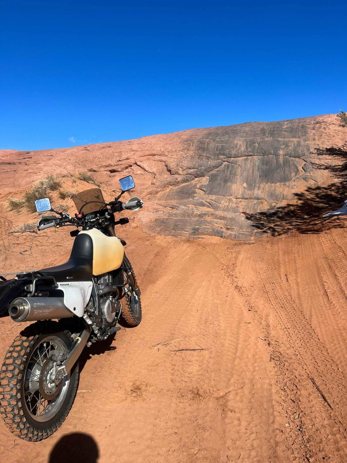
Fins n Things (First Half)
Total Miles
1.6
Tech Rating
Moderate
Best Time
Spring, Summer, Fall
Learn more about Fish Springs Auto Tour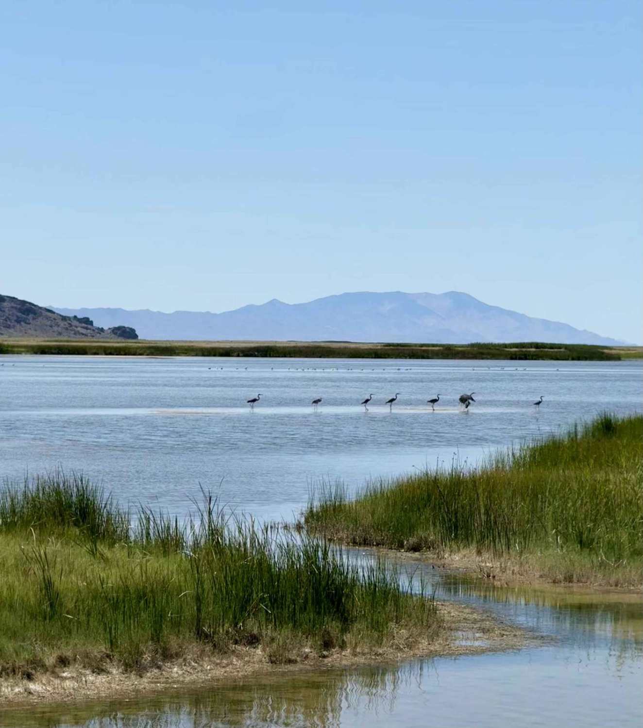
Fish Springs Auto Tour
Total Miles
9.0
Tech Rating
Easy
Best Time
Spring, Fall
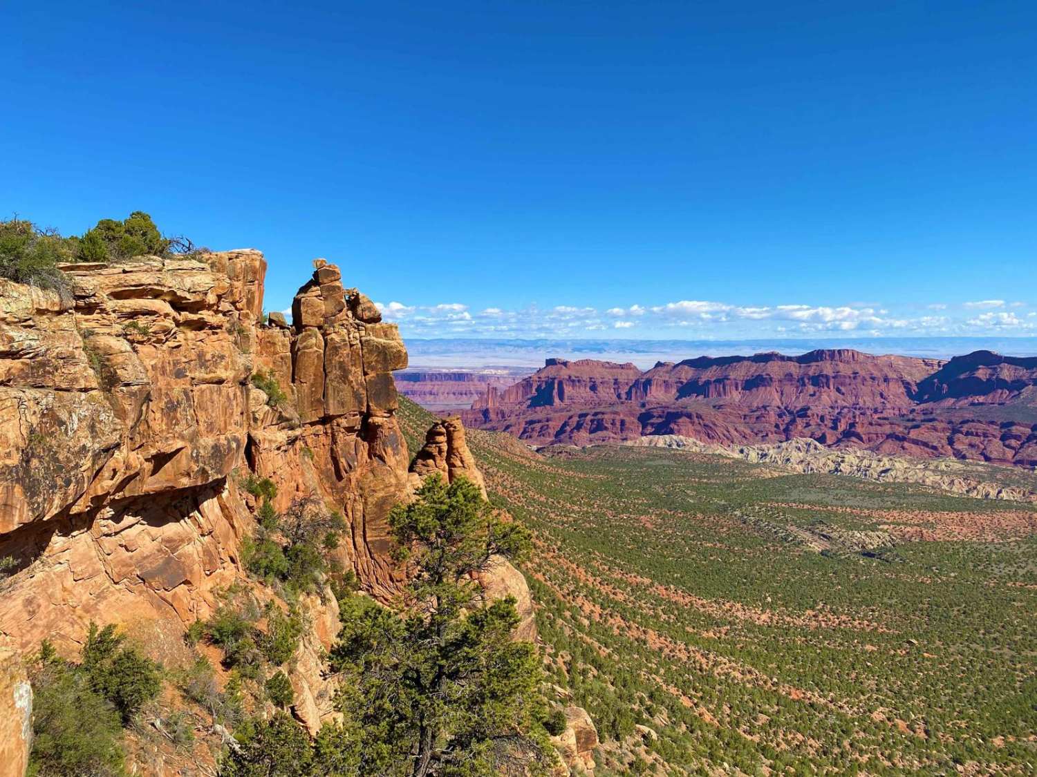
Learn more about Fisher Tower Road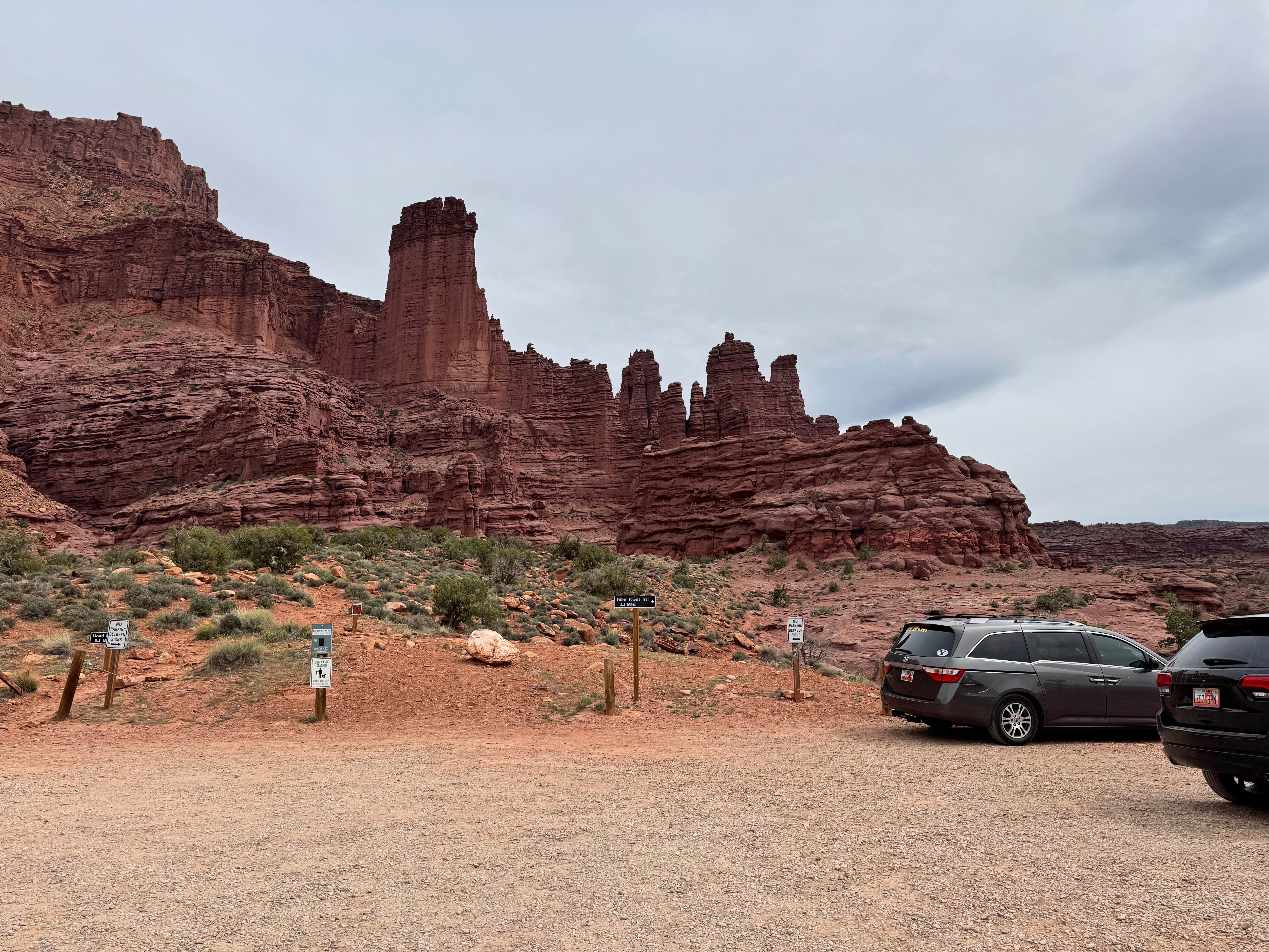
Fisher Tower Road
Total Miles
4.3
Tech Rating
Easy
Best Time
Spring, Summer, Fall, Winter
Learn more about Fisher Tower Viewpoint
Fisher Tower Viewpoint
Total Miles
1.3
Tech Rating
Easy
Best Time
Fall, Spring, Summer
Learn more about Fitzgerald's Park - FS 40182
Fitzgerald's Park - FS 40182
Total Miles
0.3
Tech Rating
Easy
Best Time
Spring, Summer, Fall
Learn more about Five Mile Pass South Prairie Trail 
Five Mile Pass South Prairie Trail
Total Miles
6.2
Tech Rating
Easy
Best Time
Spring, Summer, Fall
Learn more about Fix It Pass
Fix It Pass
Total Miles
9.4
Tech Rating
Moderate
Best Time
Spring, Summer, Fall
Learn more about Flag Point Trail
Flag Point Trail
Total Miles
4.4
Tech Rating
Easy
Best Time
Spring, Summer, Fall, Winter
Learn more about Flat Iron Mesa
Flat Iron Mesa
Total Miles
15.3
Tech Rating
Moderate
Best Time
Spring, Summer, Fall
Learn more about Flat Top/Poverty Flat
Flat Top/Poverty Flat
Total Miles
6.4
Tech Rating
Easy
Best Time
Spring, Summer, Fall
Learn more about Flint Springs Road
Flint Springs Road
Total Miles
20.7
Tech Rating
Easy
Best Time
Spring, Fall, Winter
Learn more about Flint Trail
Flint Trail
Total Miles
22.0
Tech Rating
Moderate
Best Time
Spring, Summer, Fall
Learn more about Floating Island Road
Floating Island Road
Total Miles
4.5
Tech Rating
Easy
Best Time
Spring, Summer, Fall, Winter
Learn more about Floating Tree
Floating Tree
Total Miles
4.0
Tech Rating
Easy
Best Time
Spring, Fall, Summer
Learn more about Flow State
Flow State
Total Miles
2.3
Tech Rating
Easy
Best Time
Spring, Summer, Fall, Winter
Learn more about Flying Monkey Trail Access
Flying Monkey Trail Access
Total Miles
1.0
Tech Rating
Moderate
Best Time
Spring, Summer, Fall
ATV trails in Utah

Learn more about 14 Mile Road
14 Mile Road
Total Miles
14.7
Tech Rating
Easy
Best Time
Spring, Summer, Fall, Winter


UTV/side-by-side trails in Utah
Learn more about 14 Mile Road
14 Mile Road
Total Miles
14.7
Tech Rating
Easy
Best Time
Spring, Summer, Fall, Winter
The onX Offroad Difference
onX Offroad combines trail photos, descriptions, difficulty ratings, width restrictions, seasonality, and more in a user-friendly interface. Available on all devices, with offline access and full compatibility with CarPlay and Android Auto. Discover what you’re missing today!