Fitzgerald's Park - FS 40182
Total Miles
0.3
Technical Rating
Best Time
Spring, Summer, Fall
Trail Type
High-Clearance 4x4 Trail
Accessible By
Trail Overview
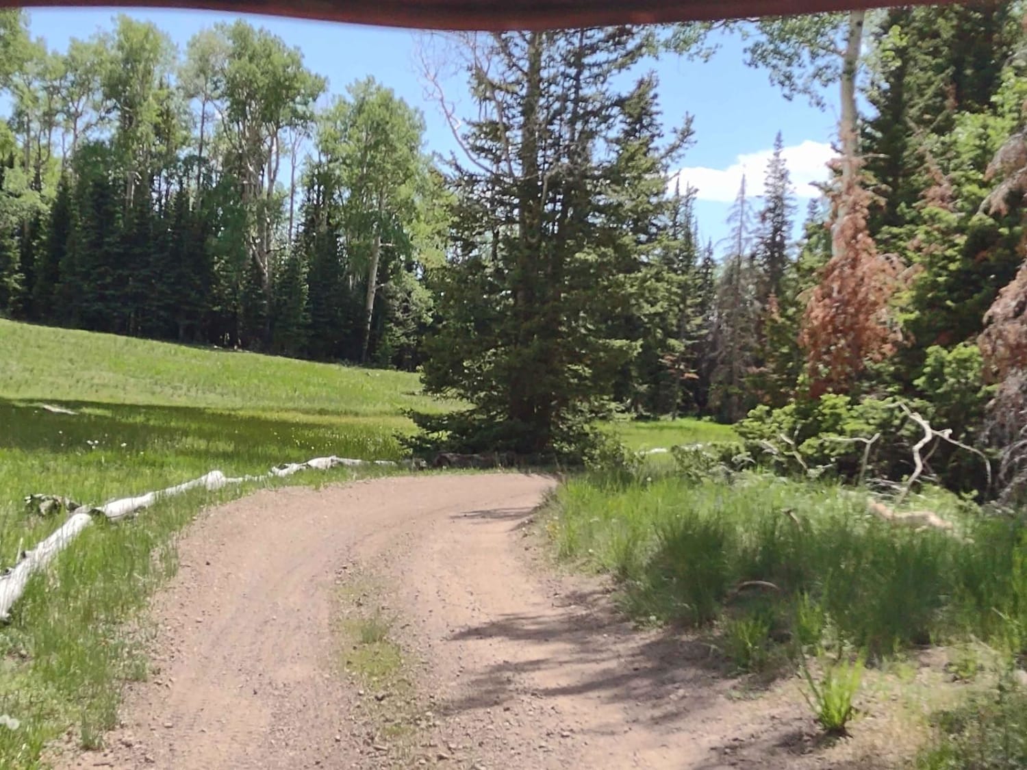
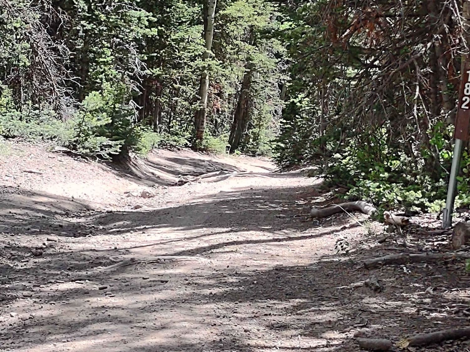
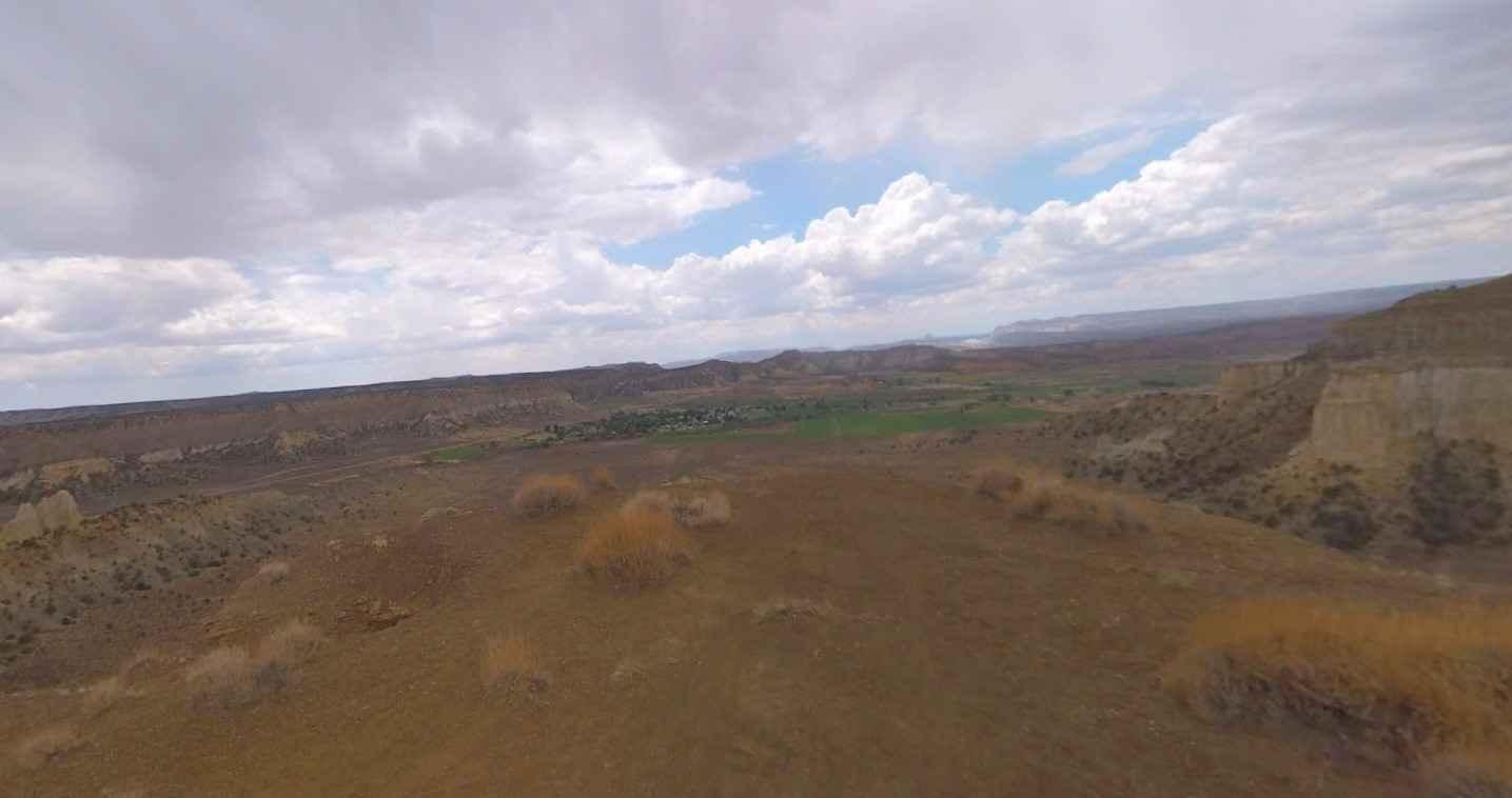
Fitzgerald's Park is a spur trail off of Monroe Canyon Road, and it sits in the shadow of Monroe Peak. You move through the pine and aspen trees and find yourself at the trail's end in a meadow where a picnic table sits. The history of this trail is that it was a popular overnight stopping place on Sawmill Road for wagons hauling lumber to the valley, for stockmen checking their livestock in the mountains, and for family outings. Sportsmen and hunters used Sawmill Road to access these mountains, often setting up hunting camps in this meadow, and the miners who mined for gold just south of this park used the Sawmill Road as well. The trail is easy but bring bug spray. The mosquitos are especially bad near this meadow because it's a bit boggy and soft in the middle. Off the end of the track, there is a hiking trail through the pine trees. Remember, to off-road in Utah you need to have the online education course certificate and an OHV sticker.
Photos of Fitzgerald's Park - FS 40182
Difficulty
Early in the spring, the trail may be muddy below the boggy, soft part of the meadow, but by July, it was dry and easy.
History
This beautiful meadow was a popular overnight stopping place on Sawmill Road for stockmen who used the road to check on cattle or sheep grazing up on the mountain, for miners who used the Sawmill Road to access their gold mines, for lumber wagons hauling green lumber from the sawmill down to the valley, and for family outings. The meadow was a popular place for hunting camps to be set up, too. This area of Southern Utah is rich in mining history, as well as dairy and cattle ranching and a sawmill operation up here on top of the Sevier Plateau. The Brindley Dairy was in operation from 1891-1894. Henry Torgerson operated a sawmill near Monroe Peak from 1914 to 1939. Old mining operations/sites can be found all over these mountains but most have no historical data.
Status Reports
Fitzgerald's Park - FS 40182 can be accessed by the following ride types:
- High-Clearance 4x4
- SxS (60")
- ATV (50")
- Dirt Bike
Fitzgerald's Park - FS 40182 Map
Popular Trails
Fix It Pass
Francis Peak Road (FS 009)
Coal Bench Road-Garfield County 7800
Cricket Mountain OHV Route 2
The onX Offroad Difference
onX Offroad combines trail photos, descriptions, difficulty ratings, width restrictions, seasonality, and more in a user-friendly interface. Available on all devices, with offline access and full compatibility with CarPlay and Android Auto. Discover what you’re missing today!