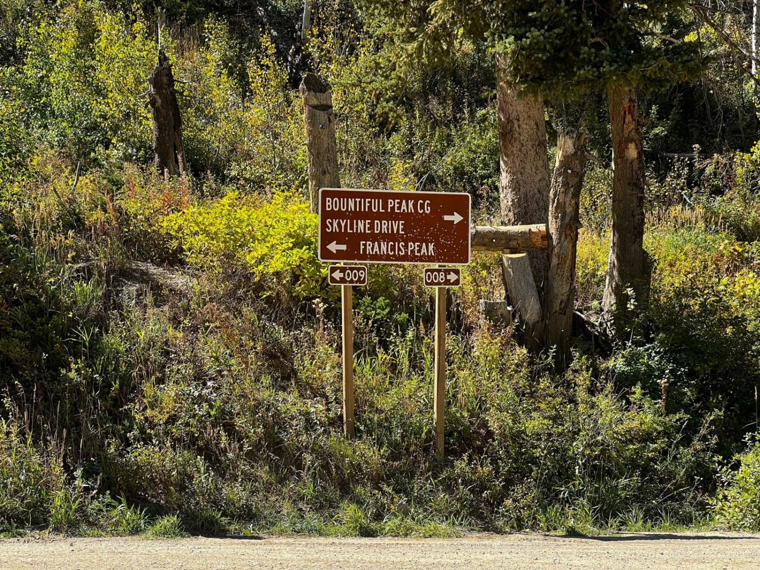
Francis Peak Road (FS 009)
Total Miles
4.4
Technical Rating
Best Time
Spring, Summer, Fall
Trail Type
Full-Width Road
Accessible By
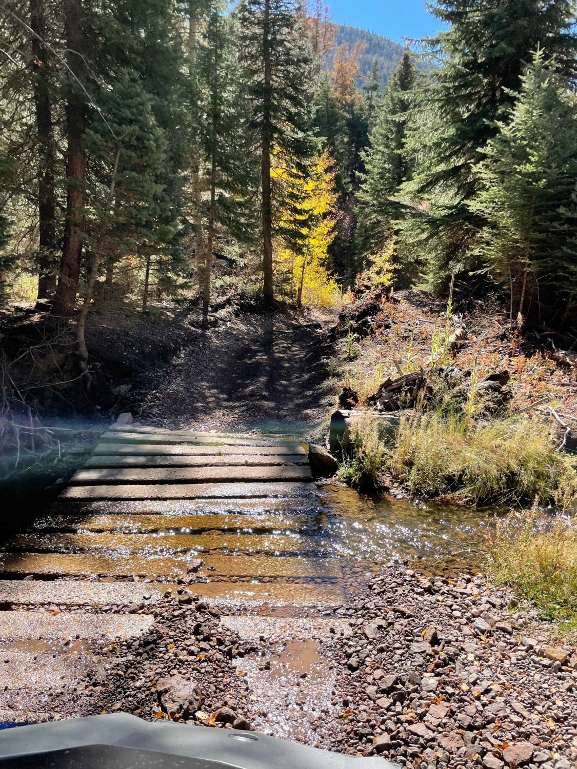
Trail Overview
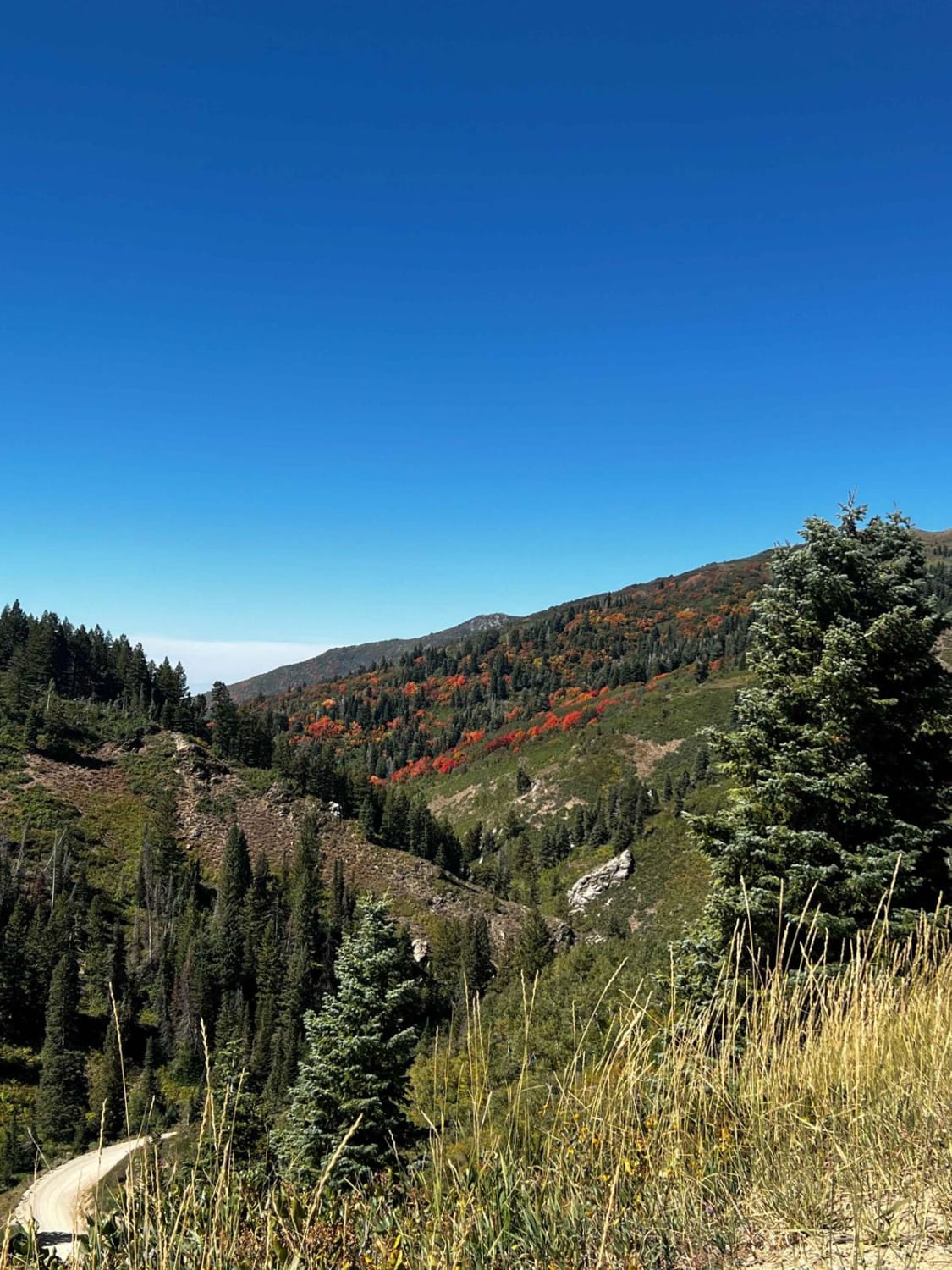
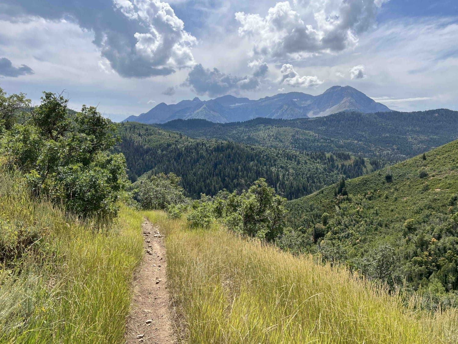
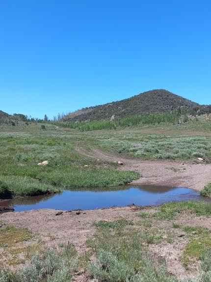
Francis Peak Road continues up from the intersection of Farmington Canyon Road and Skyline Drive. The route is very scenic, as you will have views from both sides of the mountain. Along the route, you will see multiple areas for camping. There are also two large areas for group parking that include a few minor "obstacle courses" as well. As you near the end of the route, you come to Francis Peak, where you will see domed radars. Francis Peak Road continues toward the right and up to the radars, however, access is limited due to gate closure. Continuing left will place you on Holmes Creek Road. Francis Peak Road is accessible by all vehicle types and does not require high clearance or 4WD. The road is slightly wider but narrows as you climb, still requiring you to pull off to the side for passing.
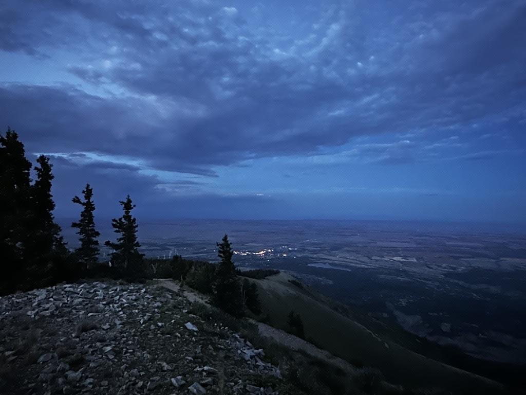
Photos of Francis Peak Road (FS 009)
Difficulty
This is an unmaintained, bumpy gravel road. There are minor washouts but no water crossings or obstacles. It is 1.5 vehicles wide with adequate room for pulling off to the side for passing.
Status Reports
Francis Peak Road (FS 009) can be accessed by the following ride types:
- High-Clearance 4x4
- SUV
- SxS (60")
- ATV (50")
- Dirt Bike
Francis Peak Road (FS 009) Map
Popular Trails
Holman Ridge-Cabin Flat (2172)
Caddy Creek/Little Valley
Deer Creek Trail
Abajo Peak Trail
The onX Offroad Difference
onX Offroad combines trail photos, descriptions, difficulty ratings, width restrictions, seasonality, and more in a user-friendly interface. Available on all devices, with offline access and full compatibility with CarPlay and Android Auto. Discover what you’re missing today!