Trail Overview
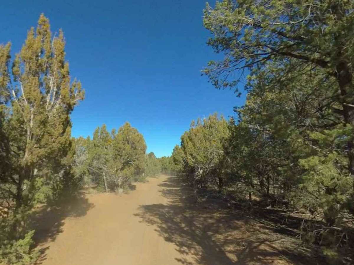
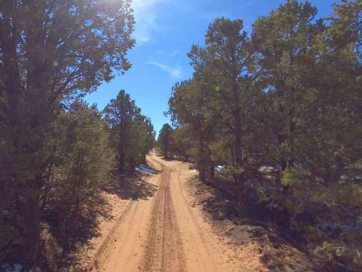
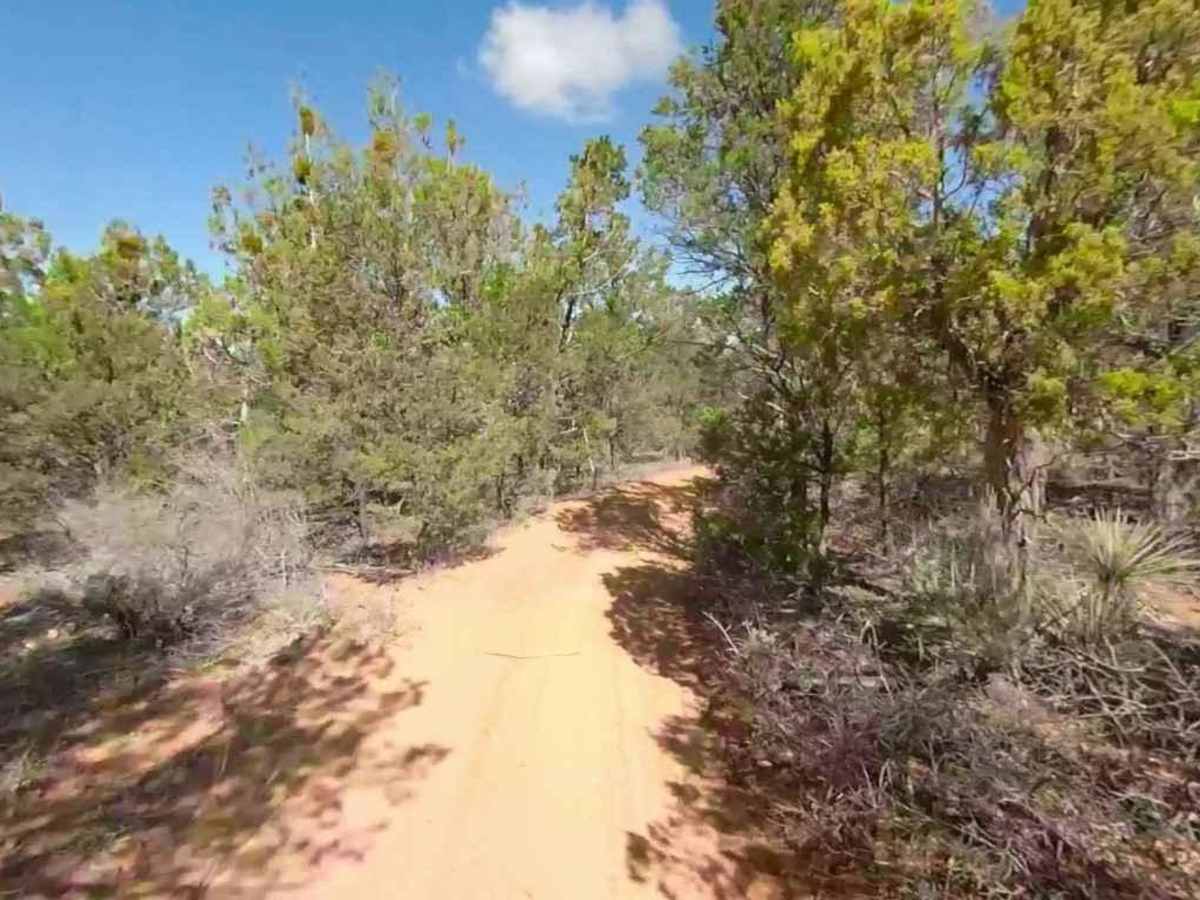
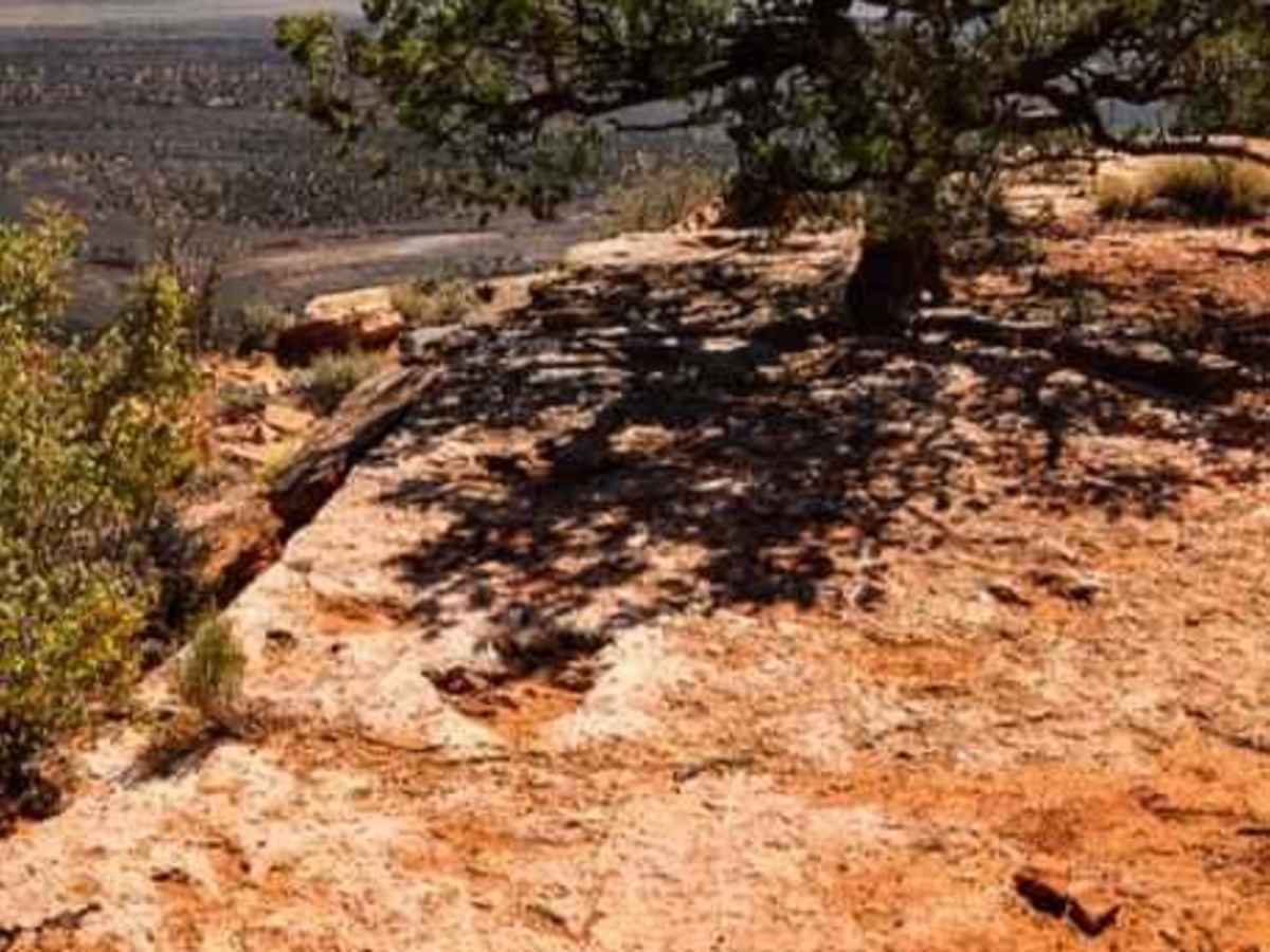
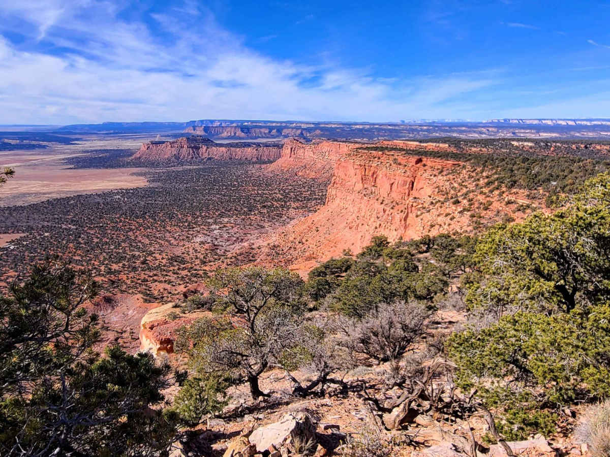
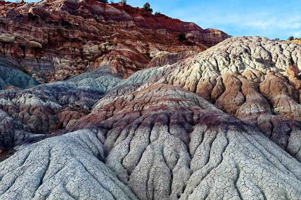
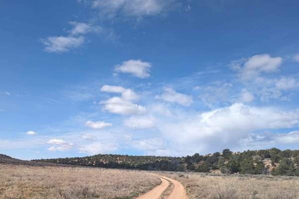
Flag Point Trail is an 8.8-mile out-and-back single-track trail located within Grand Staircase-Escalante National Monument and traverses the Wygaret Terrace. This mostly hard-packed sand trail winds through pinyon pines and juniper, which at times may cause some pinstriping. Speed will not be your friend on this trail unless you intend to clip a tree or two along the way. This trail ends at Flag Point, a well-known overlook of the Kanab Plateau. Once into the interior of the National Monument, cell phone coverage is limited to trails close to Highway 89.
Difficulty
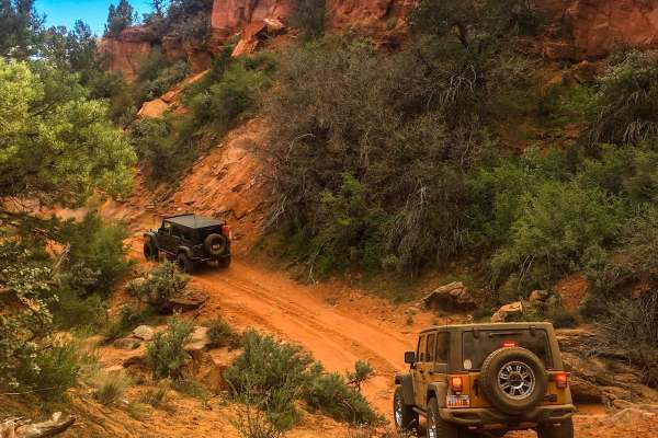
The trail consists of loose rocks, dirt, and sand with some slickrock surfaces. Mud holes are possible, but there are no steps higher than 12 inches. 4WD may be required, and aggressive tires are a plus.
History
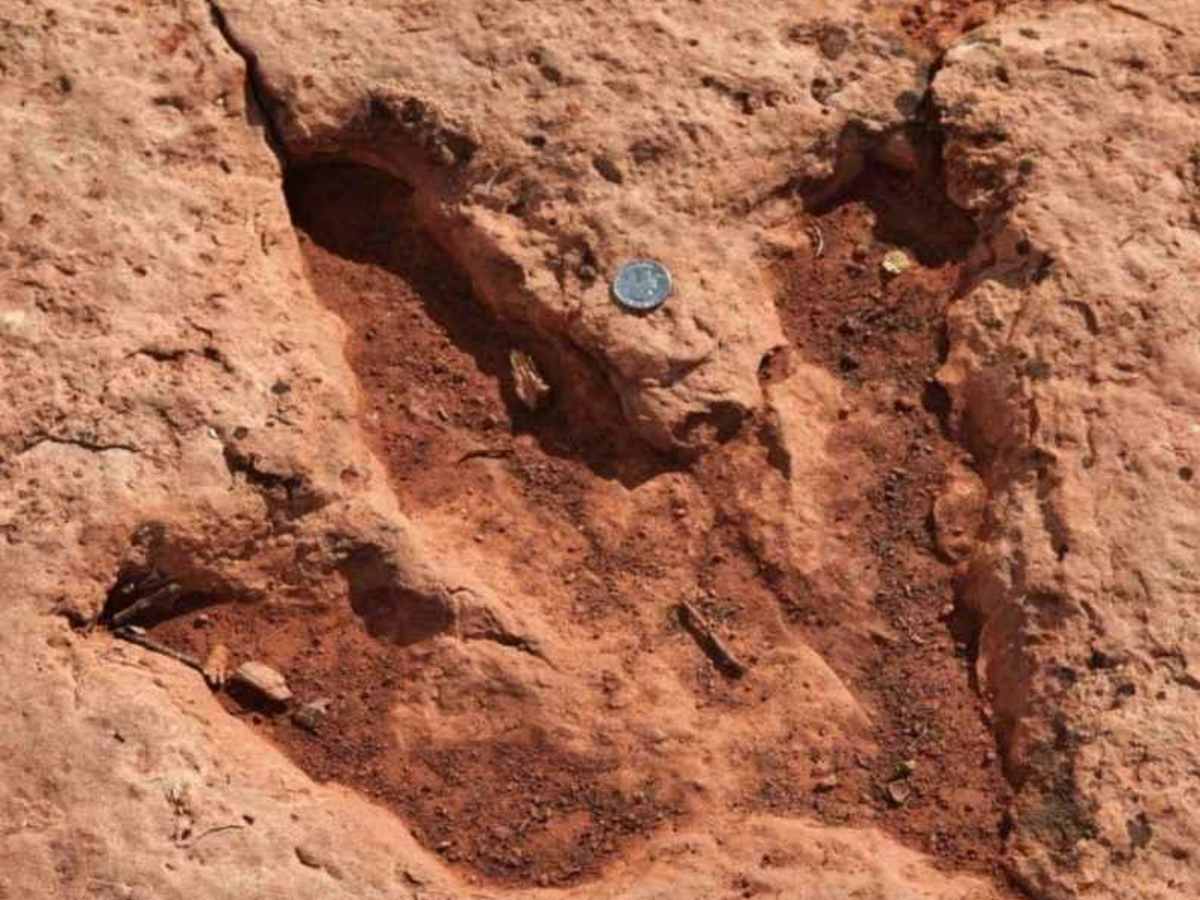
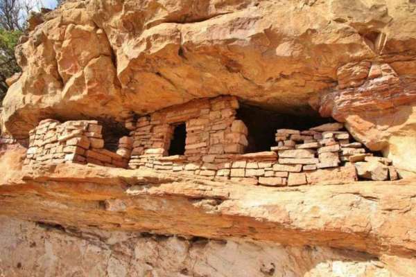
This is a destination trail that provides travelers with several unique opportunities. At the end of the trail, a short but steep hike down the hill leads to a series of dinosaur prints in the rock. Flag Point Track Site contains approximately 35 dinosaur footprints with an average length of about 18 inches. The prints are very clear and seem to be well-preserved. What makes this site unusual is that it is roughly 1,000 feet above the valley floor below. This site is also an area that was known to the Ancestral Puebloan (Anasazi) culture, which lived in this area for more than 500 years. Directly below the dinosaur track site, there is a series of pictographs. Pictographs are believed to period date between 1000 and 1200 AD. It was obvious that the Anasazi were aware of the tracks above as there is a representation painted on the rock. A number of other images in the pictograph panel represent bird-man figures with outspread arms. Most viewers assume that the bird-man figures were suggested by the presumed resemblance of a dinosaur footprint to the footprint of a very large bird. From the pictograph site traveling north along the wall for about 100 yards, there is a site of petroglyphs believed to date back as far as 2500 BC. Petroglyphs differ from pictographs as they were pecked into the rock. The trail between the sites is not difficult but care should be taken especially with young visitors as the slope is steep.