Flint Springs Road
Total Miles
20.7
Technical Rating
Best Time
Spring, Fall, Winter
Trail Type
Full-Width Road
Accessible By
Trail Overview
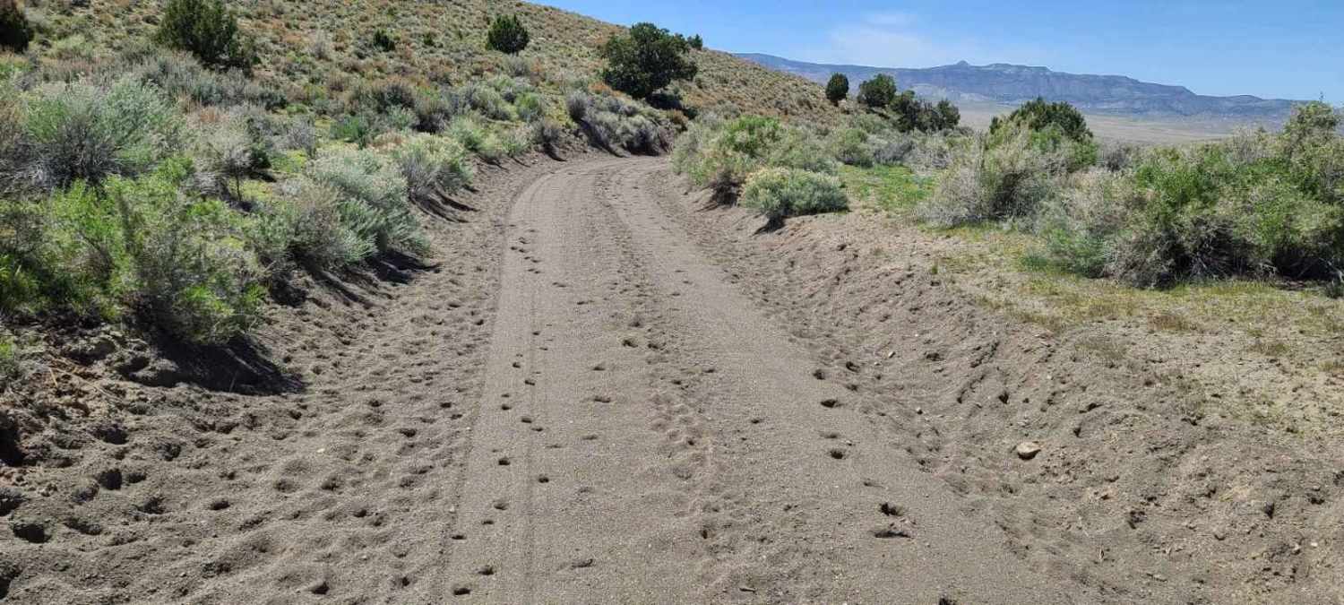
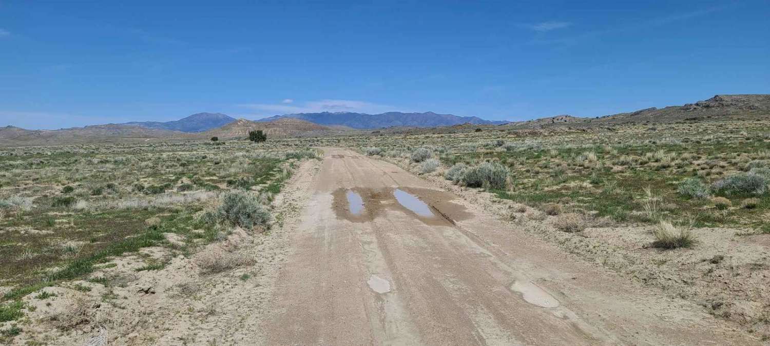
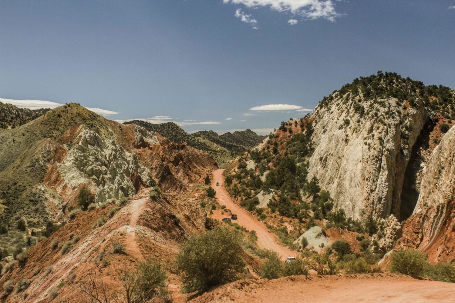
Starting from the historic Pony Express Route on the north, Flint Springs Road stretches southward, hugging the contours of the Keg Mountains. As you navigate this trail, the terrain showcases rugged rock formations and wide-open desert vistas, creating a striking backdrop for your journey. The road itself is primarily dirt and gravel, suitable for vehicles with high clearance and off-road capabilities, especially as you explore the various side roads that branch off into more remote areas.
Photos of Flint Springs Road
Difficulty
Most of this road is graded ranch road. However, there are a couple spots of deep sand that need clearance to get through and there are often deep ruts and mud puddles that will last up to a week after a rain.
Status Reports
Flint Springs Road can be accessed by the following ride types:
- High-Clearance 4x4
- SUV
- SxS (60")
- ATV (50")
- Dirt Bike
Flint Springs Road Map
Popular Trails
Smith Canyon Access (FS# 41190)
Dinosaur Spur One (FS 41227 & 41227B)

Cockscomb Black Table Road
Cottonwood Canyon Road
The onX Offroad Difference
onX Offroad combines trail photos, descriptions, difficulty ratings, width restrictions, seasonality, and more in a user-friendly interface. Available on all devices, with offline access and full compatibility with CarPlay and Android Auto. Discover what you’re missing today!
