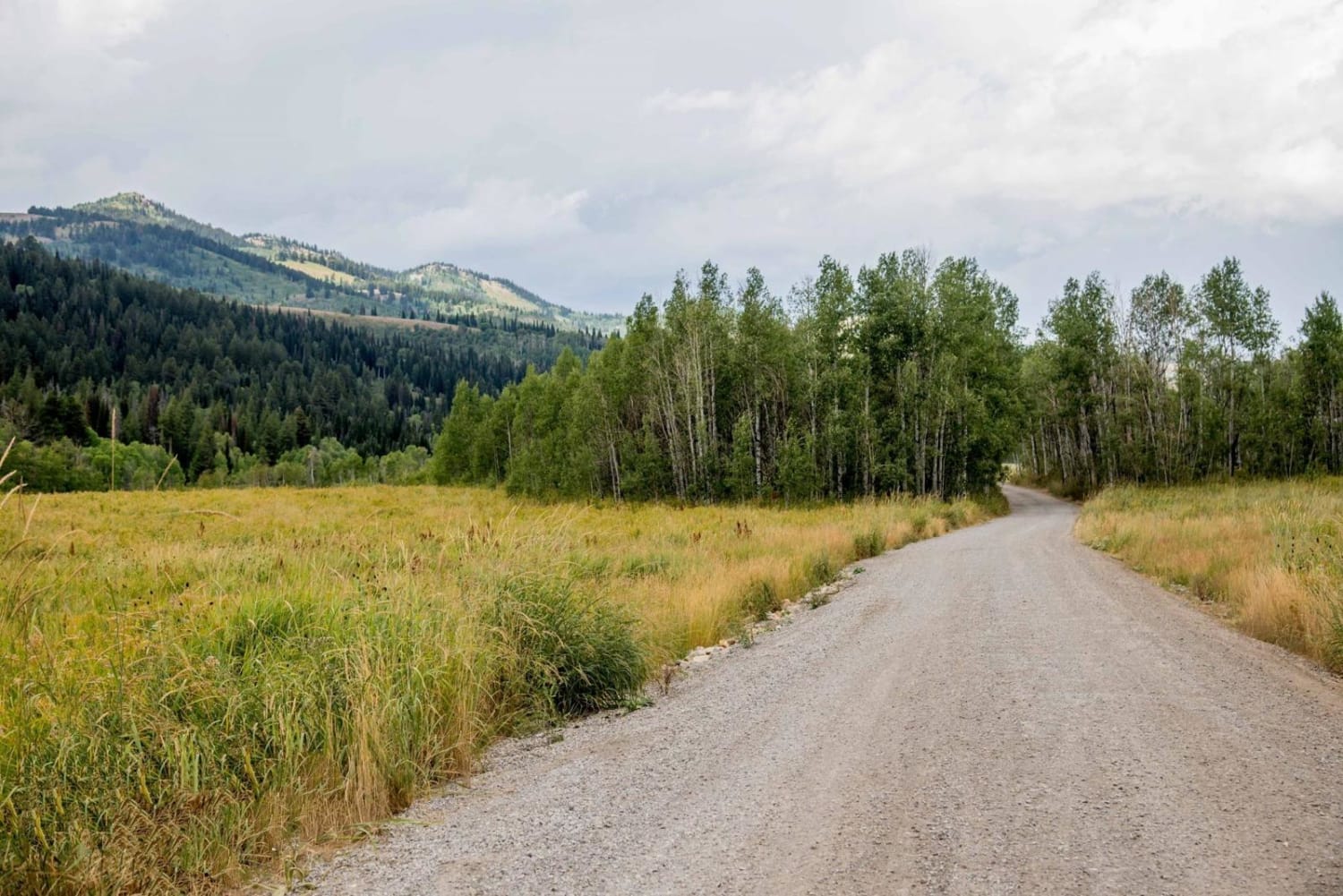
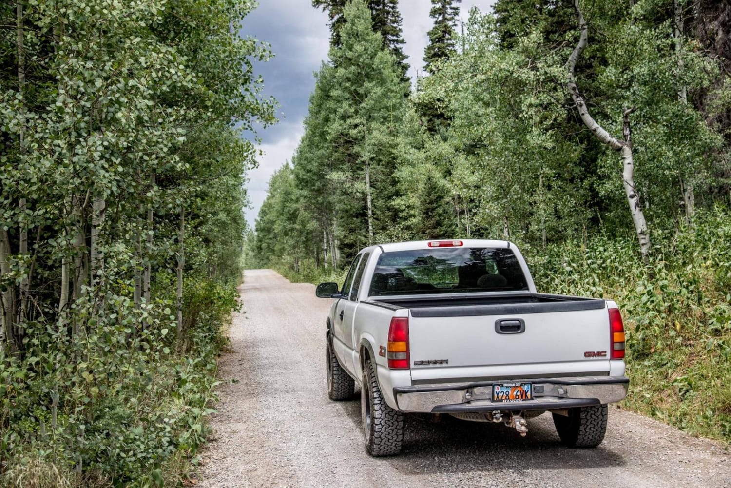
Franklin Basin Road
Total Miles
11.3
Technical Rating
Best Time
Summer, Fall
Trail Type
Full-Width Road
Accessible By
Trail Overview
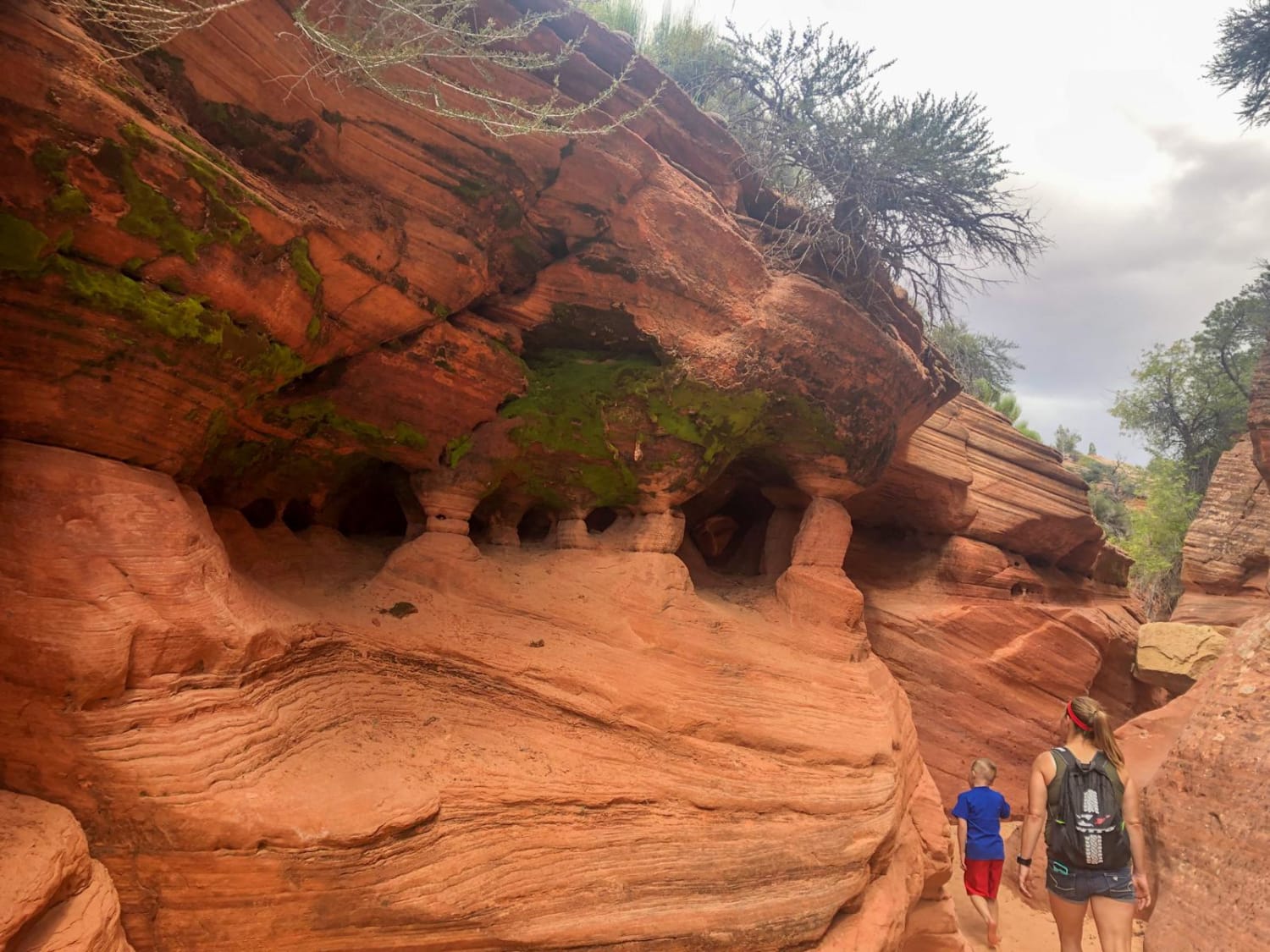
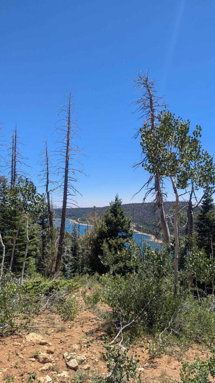
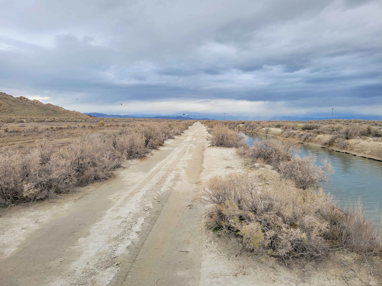
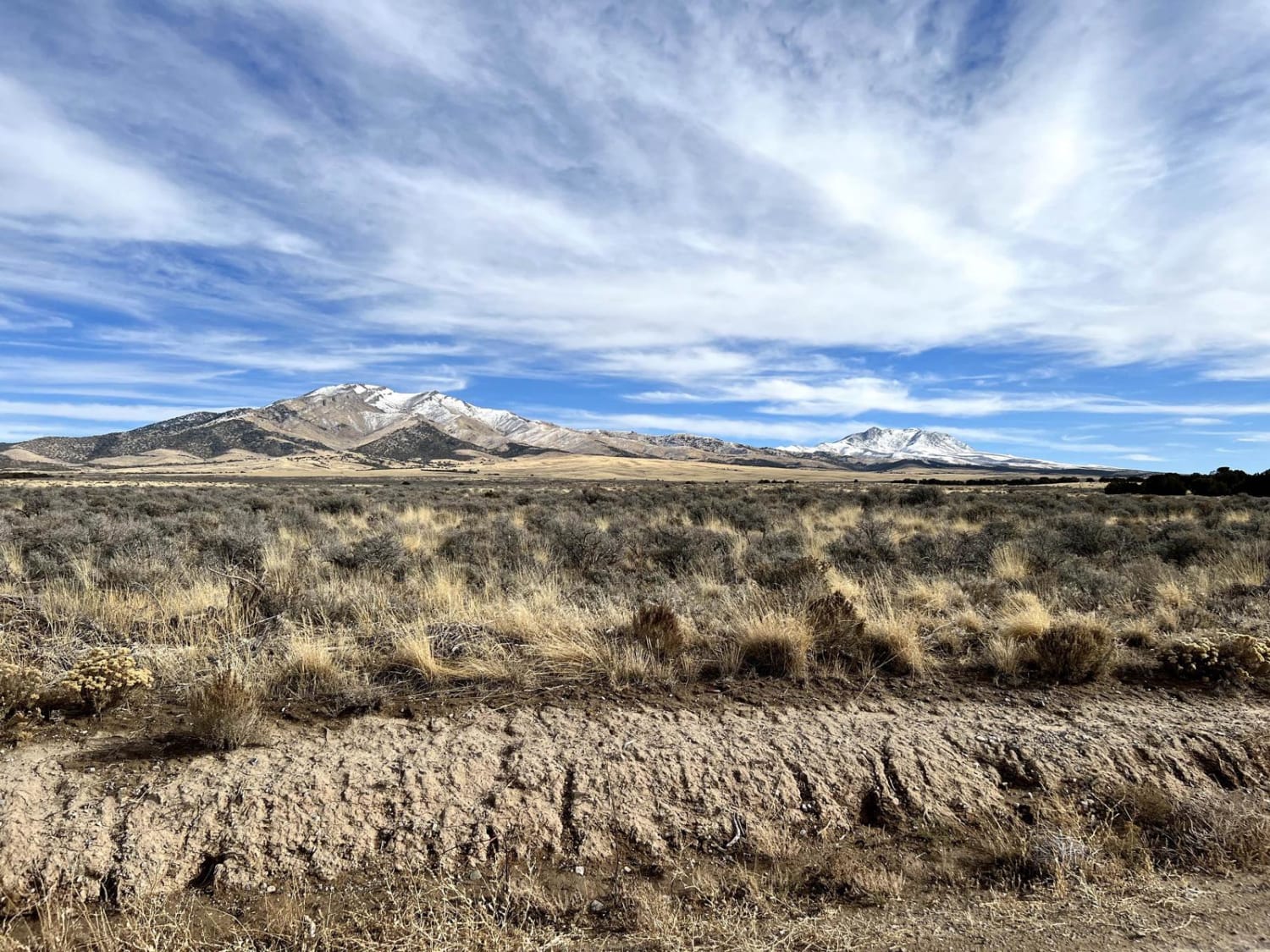
Franlin Basin is a beautiful road between Logan Canyon in Utah and Cub River near Preston, Idaho. It's mostly a graded road, but it can be tricky in bad conditions. With the side road options, you can easily spend a good day ride or drive exploring. You can also camp and spend several days exploring, since the area also connects with the Beaver Mountain and Bear Lake area trails.
Photos of Franklin Basin Road
Status Reports
Franklin Basin Road can be accessed by the following ride types:
- High-Clearance 4x4
- SUV
- SxS (60")
- ATV (50")
- Dirt Bike
Franklin Basin Road Map
Popular Trails
Dianas Throne
Ericson Pass Road
The onX Offroad Difference
onX Offroad combines trail photos, descriptions, difficulty ratings, width restrictions, seasonality, and more in a user-friendly interface. Available on all devices, with offline access and full compatibility with CarPlay and Android Auto. Discover what you’re missing today!