Floating Island Road
Total Miles
4.5
Technical Rating
Best Time
Spring, Summer, Fall, Winter
Trail Type
Full-Width Road
Accessible By
Trail Overview
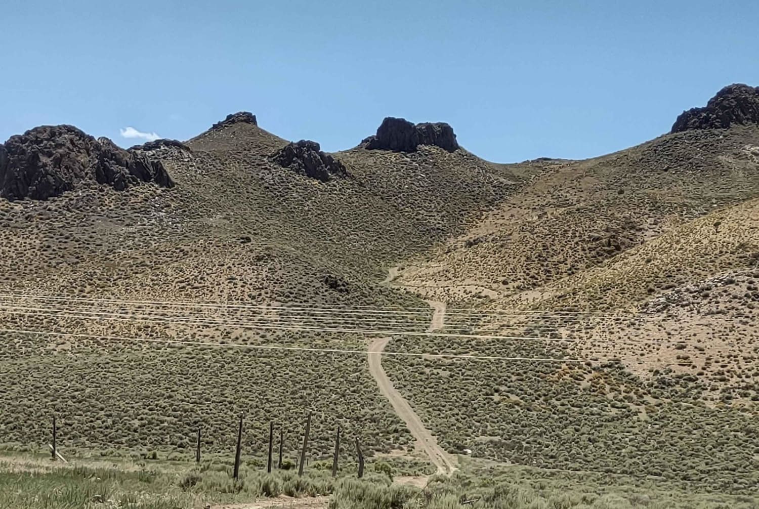
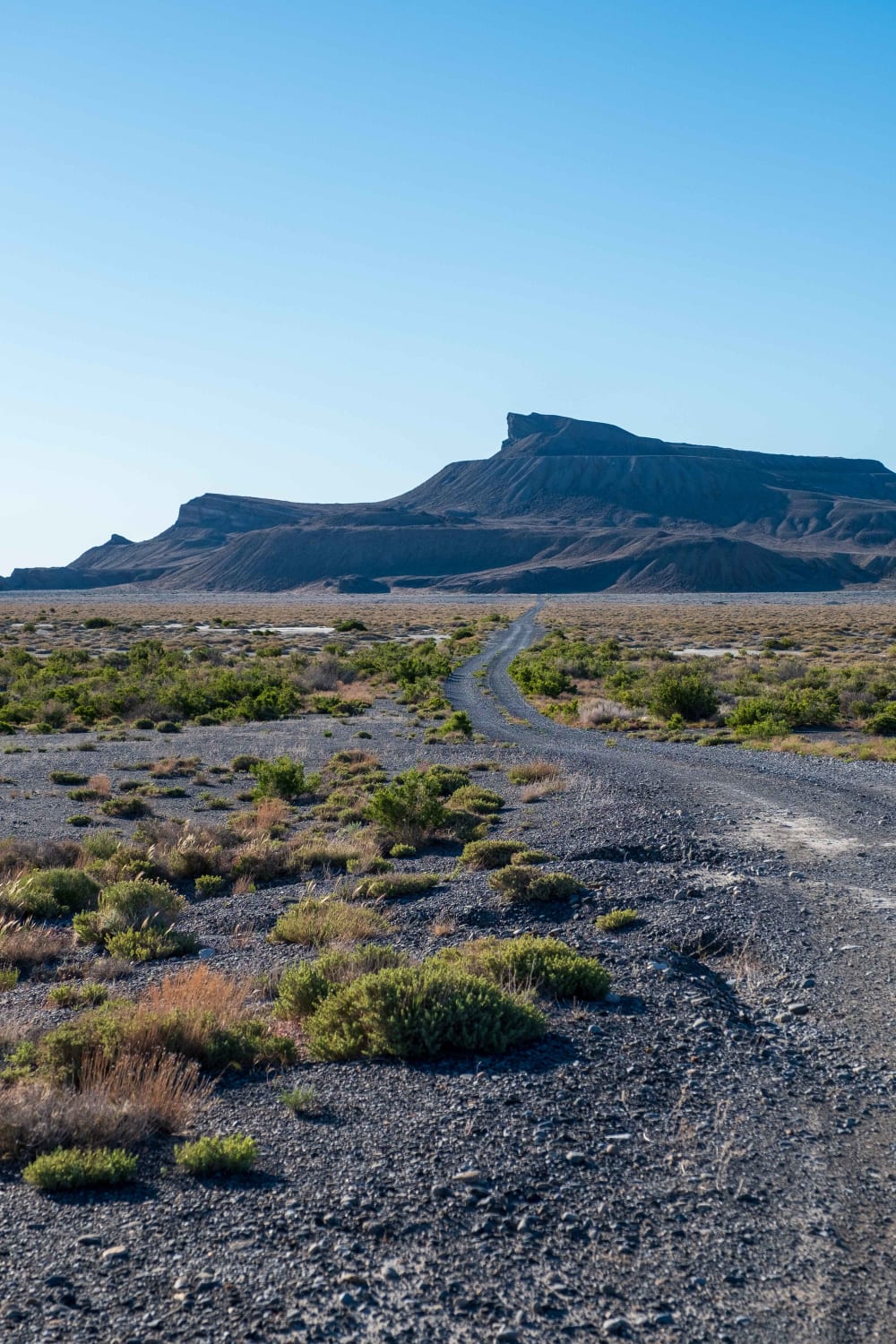
Floating Island Road is an access road to Floating Island off the Silver Island Mountains Backcountry Byway. Floating Island is a small peak that is in Utah's west desert, surrounded by the Bonneville Salt Flats and the Utah Test and Training Range's northern half. Named for its often floating presence due to a mirage effect when viewed from I-80 to the south. The road is very straightforward and ends abruptly just past the T-junction on the mountain's west side. There are a few primitive camping spots established at the base of the mountain, and the main route loops around the northern portion of the mountain, looking directly into the testing range.
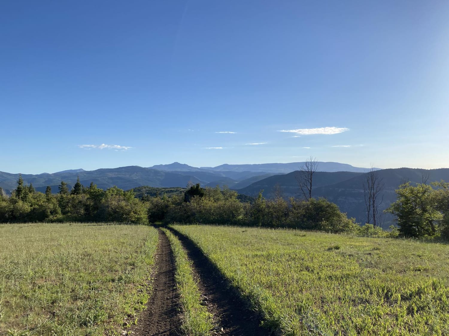
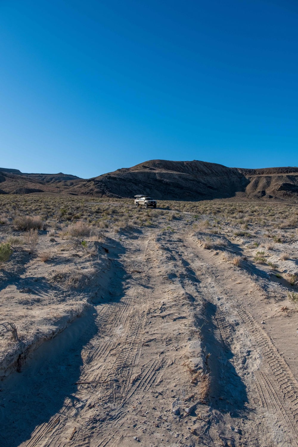
Photos of Floating Island Road
Difficulty
When dry this is extremely easy and straight forward. When wet there are a few sections where mud could make travel a challenge. Past the T-junction at the west base there are some very deep ruts of sand/silt that when wet would want to be avoided. This is a very short section so if in doubt just park at the T-junction if you're planning on hiking.
Status Reports
Floating Island Road can be accessed by the following ride types:
- High-Clearance 4x4
- SUV
Floating Island Road Map
Popular Trails

Hog Canyon 6 - Savage Point (BLM HC6/6A)

Ripple Valley Pass

Marysvale Overlook - The Nipple (BLM 6125, 6362, 5819)

Browns Hole Trail
The onX Offroad Difference
onX Offroad combines trail photos, descriptions, difficulty ratings, width restrictions, seasonality, and more in a user-friendly interface. Available on all devices, with offline access and full compatibility with CarPlay and Android Auto. Discover what you’re missing today!

