Off-Road Trails in Utah
Discover off-road trails in Utah
Learn more about Gold Gulch to Little Pork Lake (FS# 40136)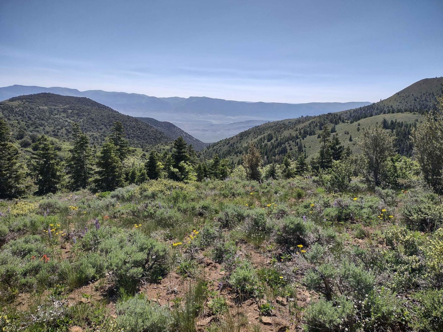
Gold Gulch to Little Pork Lake (FS# 40136)
Total Miles
5.8
Tech Rating
Easy
Best Time
Summer, Fall
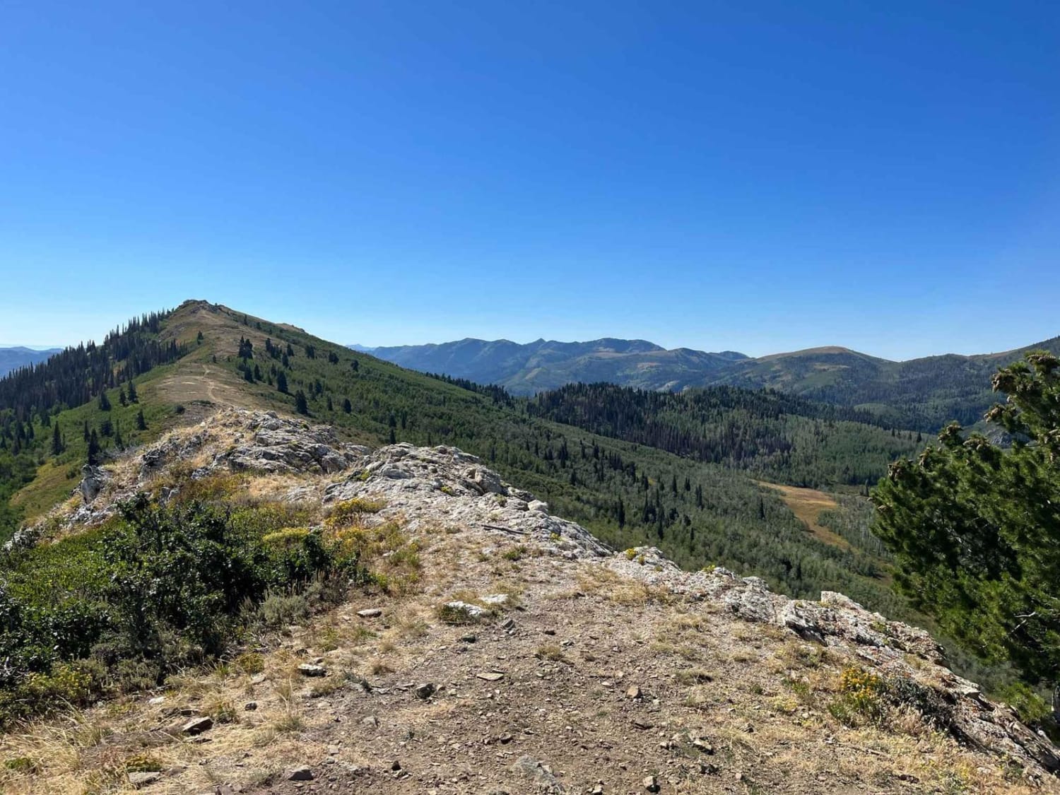
Learn more about Gold Springs Road
Gold Springs Road
Total Miles
12.0
Tech Rating
Easy
Best Time
Spring, Summer, Fall, Winter
Learn more about Golden Spike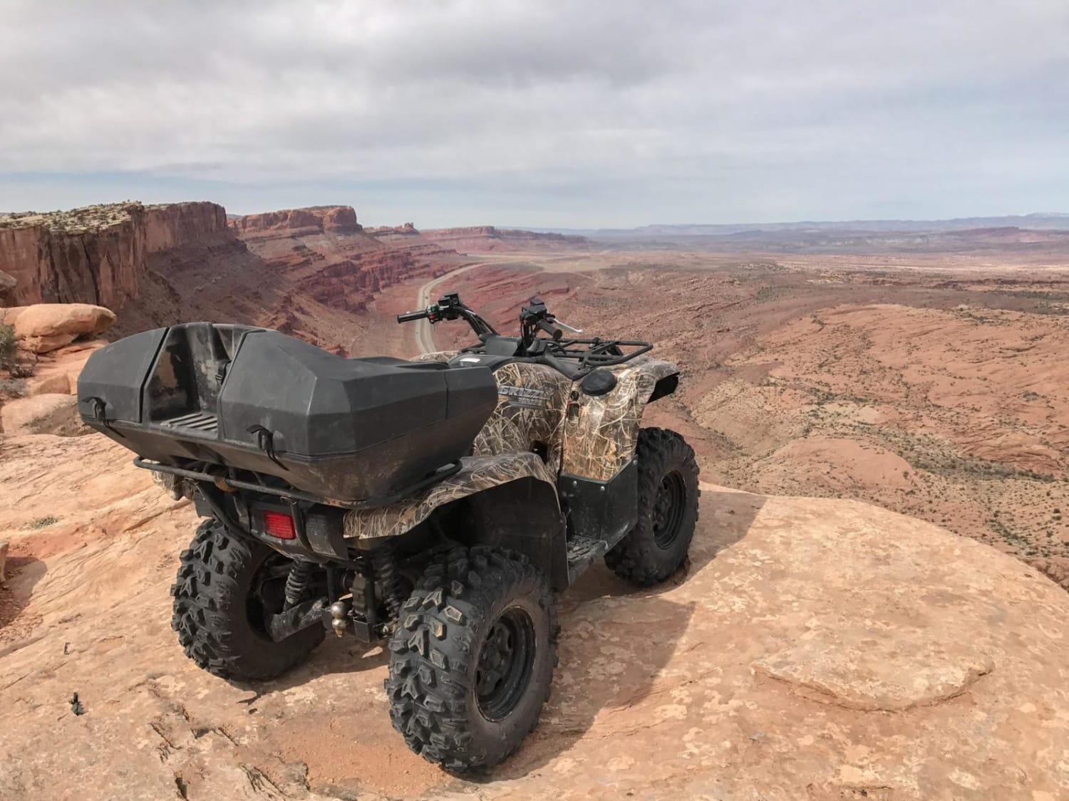
Golden Spike
Total Miles
6.0
Tech Rating
Difficult
Best Time
Spring, Summer, Fall
Learn more about Golden Spike Auto Tour, Transcontinental Railroad Byway 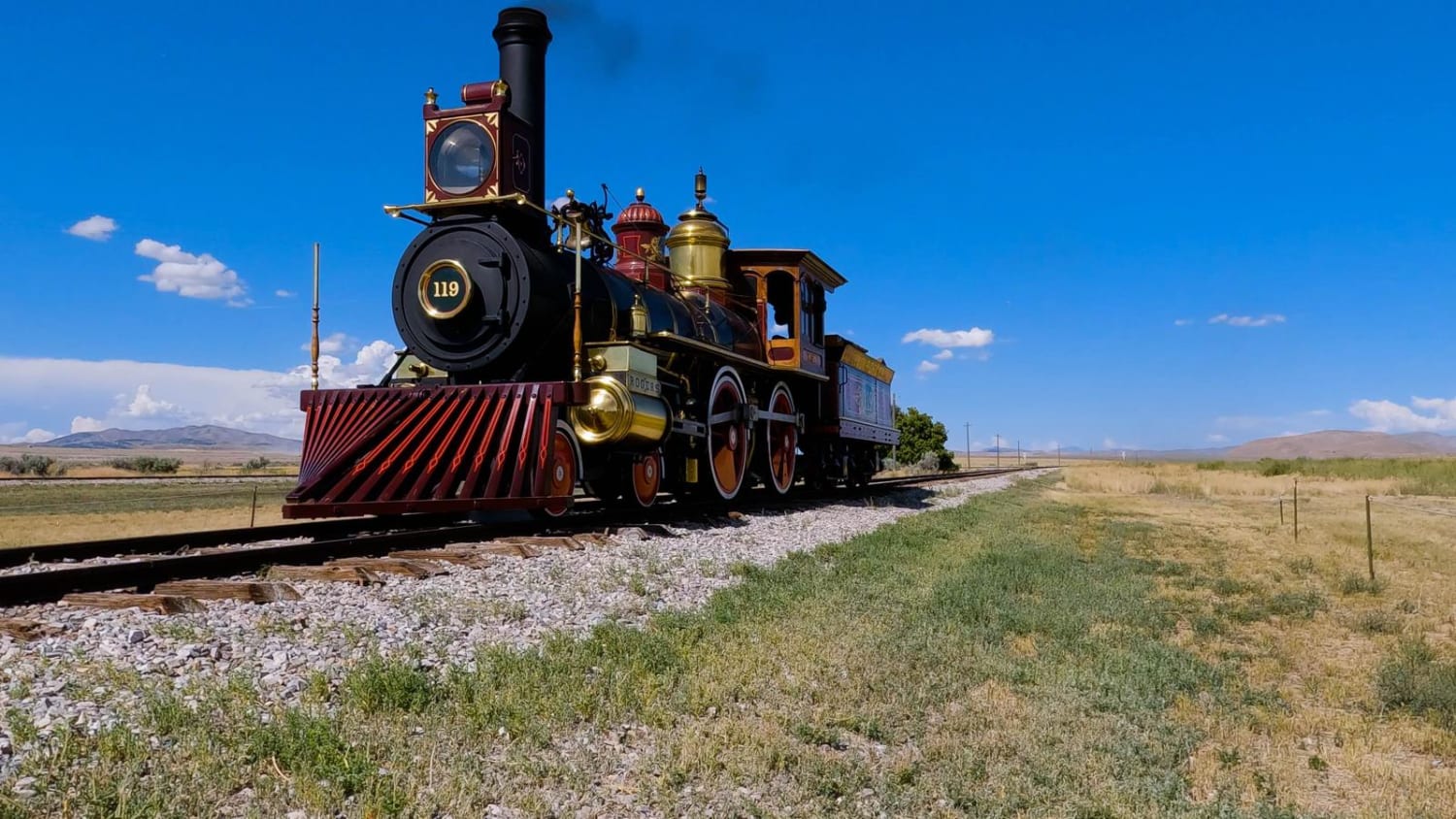
Golden Spike Auto Tour, Transcontinental Railroad Byway
Total Miles
96.4
Tech Rating
Easy
Best Time
Spring, Fall, Summer, Winter
Learn more about Good Water Rim Trail
Good Water Rim Trail
Total Miles
1.7
Tech Rating
Easy
Best Time
Spring, Summer, Fall, Winter
Learn more about Gooseberry Mesa
Gooseberry Mesa
Total Miles
5.0
Tech Rating
Easy
Best Time
Spring, Fall, Winter
Learn more about Gooseberry Mesa Spur
Gooseberry Mesa Spur
Total Miles
1.1
Tech Rating
Easy
Best Time
Winter, Fall, Spring
Learn more about Gooseberry Point
Gooseberry Point
Total Miles
1.7
Tech Rating
Easy
Best Time
Spring, Summer, Fall
Learn more about Gordon Creek Falls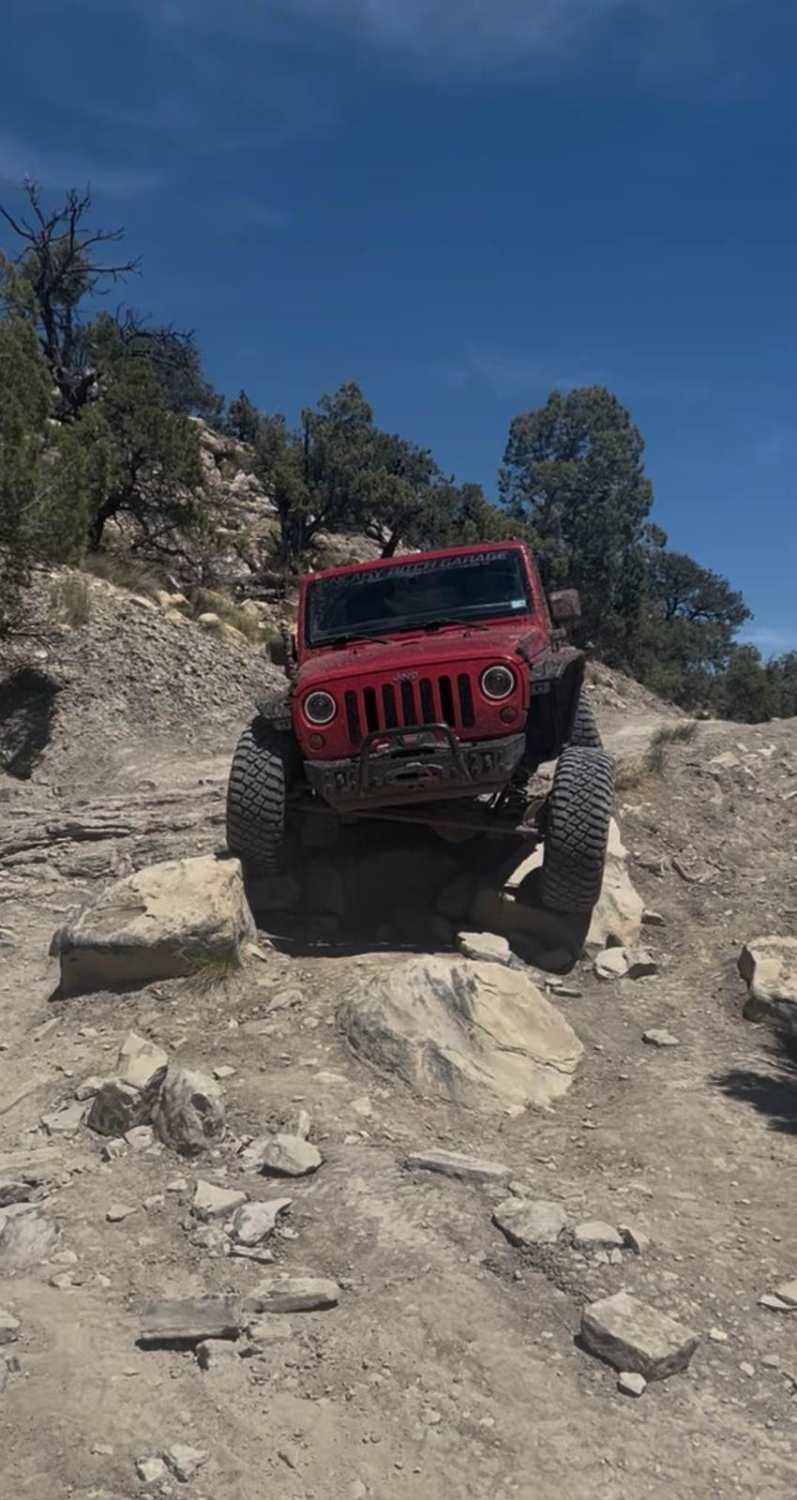
Gordon Creek Falls
Total Miles
2.2
Tech Rating
Moderate
Best Time
Spring, Summer, Fall
Learn more about Gorge-ous
Gorge-ous
Total Miles
3.3
Tech Rating
Easy
Best Time
Spring, Summer, Fall, Winter
Learn more about Gould's Rim Wanderings
Gould's Rim Wanderings
Total Miles
8.1
Tech Rating
Easy
Best Time
Spring, Summer, Fall, Winter
Learn more about Granite Creek Canyon
Granite Creek Canyon
Total Miles
6.1
Tech Rating
Moderate
Best Time
Spring, Summer, Fall, Winter
Learn more about Grapevine Wash Connector
Grapevine Wash Connector
Total Miles
1.2
Tech Rating
Moderate
Best Time
Fall, Spring
Learn more about Grass Valley Rd-FR30011
Grass Valley Rd-FR30011
Total Miles
12.4
Tech Rating
Easy
Best Time
Spring, Summer, Fall, Winter
Learn more about Grassy Mountain Peak Road
Grassy Mountain Peak Road
Total Miles
4.7
Tech Rating
Easy
Best Time
Spring, Summer, Fall, Winter
Learn more about Grassy Mountain Ranch
Grassy Mountain Ranch
Total Miles
2.1
Tech Rating
Easy
Best Time
Spring, Summer, Fall, Winter
ATV trails in Utah

Learn more about 14 Mile Road
14 Mile Road
Total Miles
14.7
Tech Rating
Easy
Best Time
Spring, Summer, Fall, Winter


UTV/side-by-side trails in Utah
Learn more about 14 Mile Road
14 Mile Road
Total Miles
14.7
Tech Rating
Easy
Best Time
Spring, Summer, Fall, Winter
The onX Offroad Difference
onX Offroad combines trail photos, descriptions, difficulty ratings, width restrictions, seasonality, and more in a user-friendly interface. Available on all devices, with offline access and full compatibility with CarPlay and Android Auto. Discover what you’re missing today!