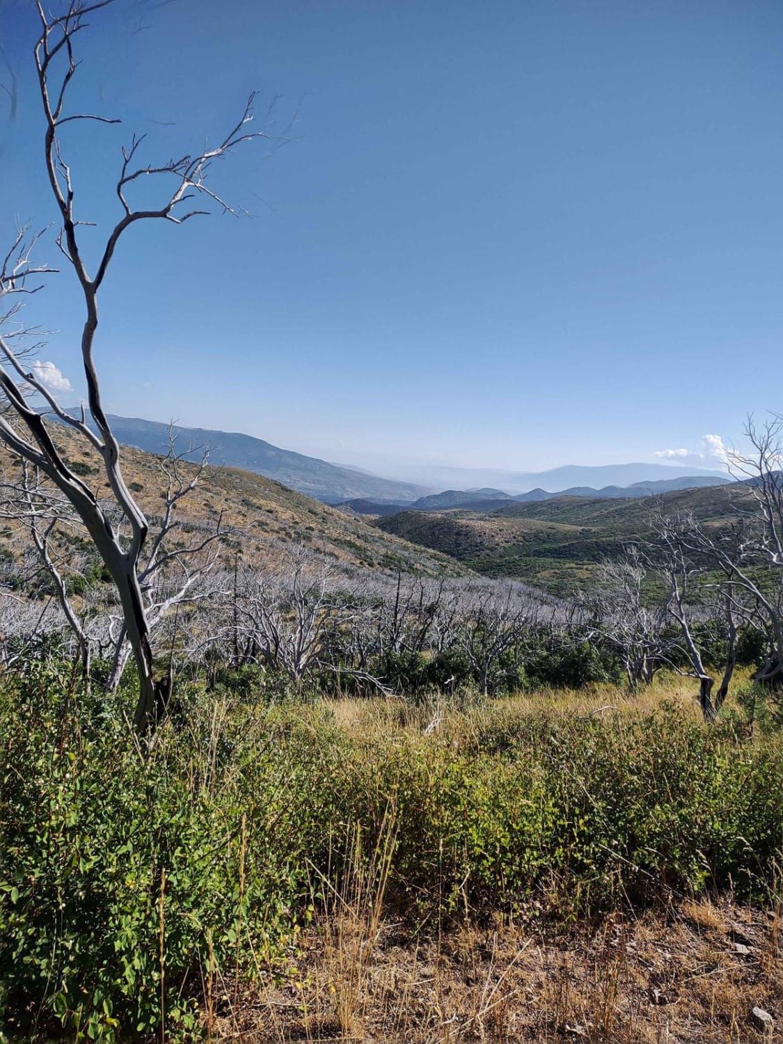
Off-Road Trails in Utah
Discover off-road trails in Utah
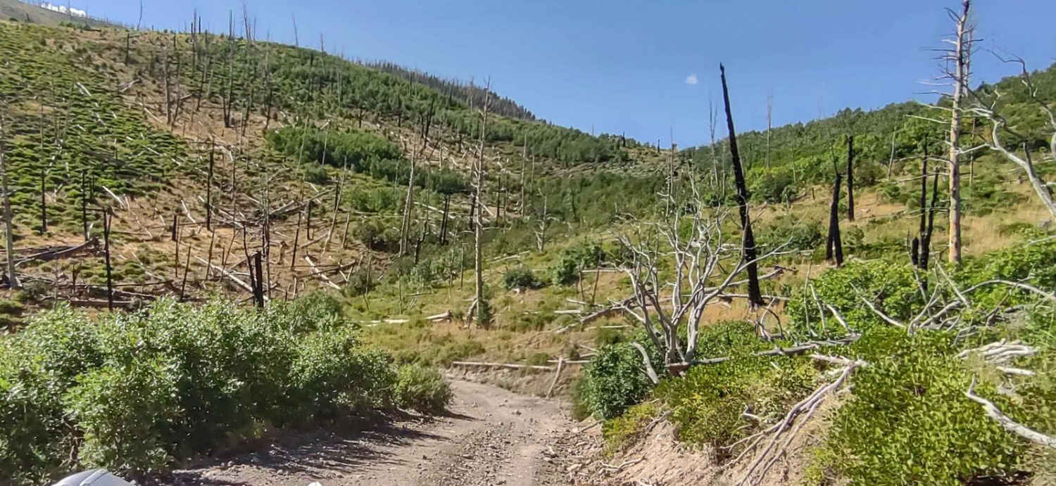
Learn more about Frisco Mine & Cemetery
Frisco Mine & Cemetery
Total Miles
3.2
Tech Rating
Easy
Best Time
Spring, Summer, Fall
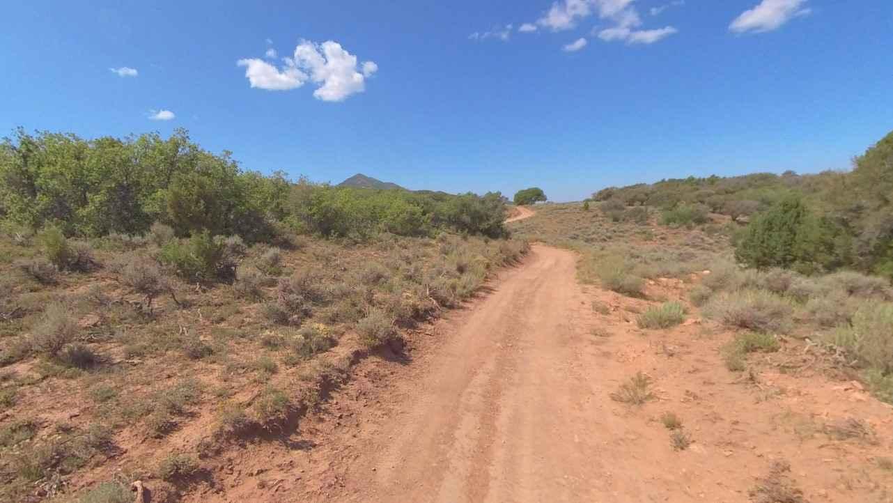
Learn more about Frisco Peak Road
Frisco Peak Road
Total Miles
10.2
Tech Rating
Easy
Best Time
Spring, Summer, Fall
Learn more about Front Range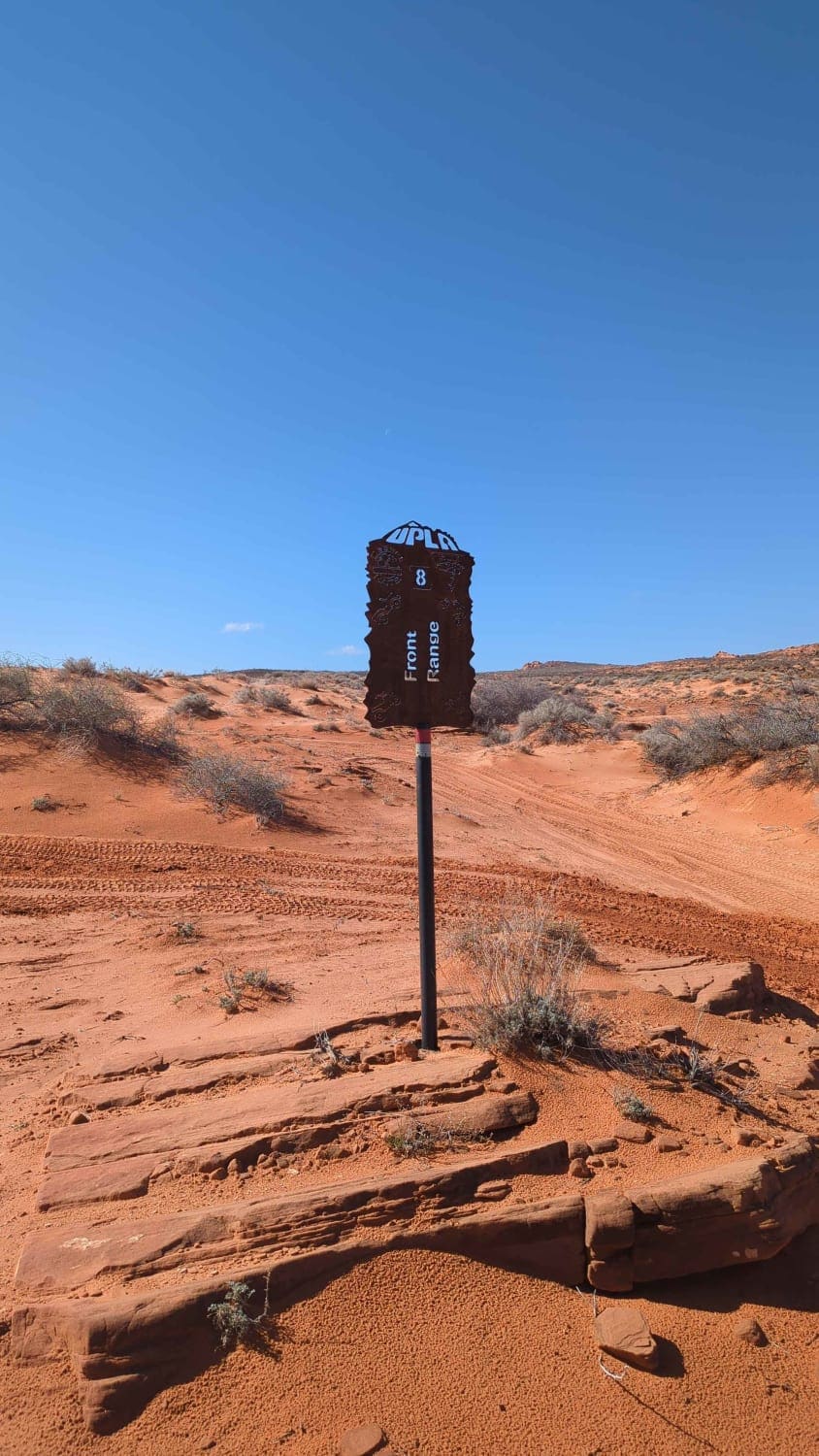
Front Range
Total Miles
0.7
Tech Rating
Difficult
Best Time
Spring, Summer, Fall, Winter
Learn more about FS #41185 Extension (50" Trail)
FS #41185 Extension (50" Trail)
Total Miles
1.6
Tech Rating
Easy
Best Time
Spring, Summer, Fall

Learn more about FS 40439 Loop
FS 40439 Loop
Total Miles
2.5
Tech Rating
Easy
Best Time
Spring, Summer, Fall
Learn more about FS 51198 Upper 6 Mile Pond Loop
FS 51198 Upper 6 Mile Pond Loop
Total Miles
1.7
Tech Rating
Moderate
Best Time
Summer, Fall
Learn more about FS 51303 Six Mile Lower Pond Trail
FS 51303 Six Mile Lower Pond Trail
Total Miles
0.4
Tech Rating
Moderate
Best Time
Summer, Fall
Learn more about FS 80178 Upper Cedar Hollow OHV 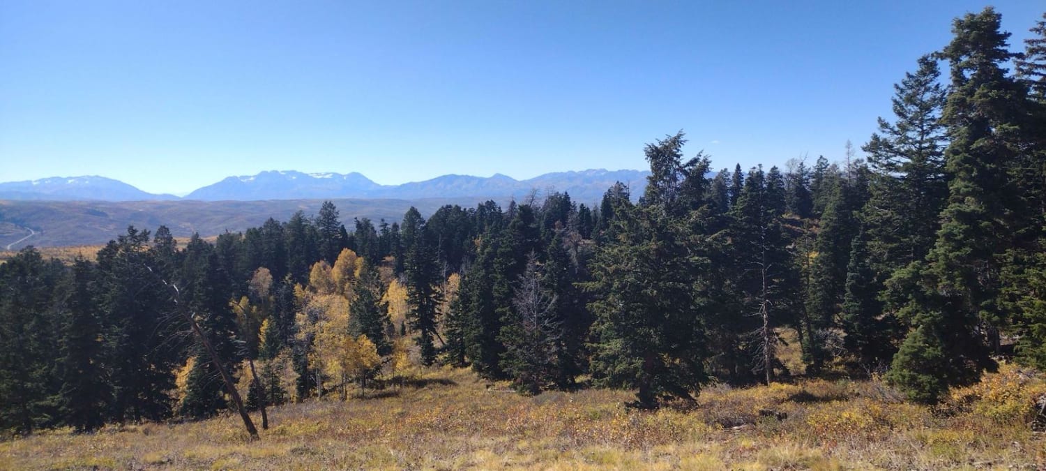
FS 80178 Upper Cedar Hollow OHV
Total Miles
5.2
Tech Rating
Moderate
Best Time
Summer, Fall
Learn more about FS 80200 Cedar Hollow North 1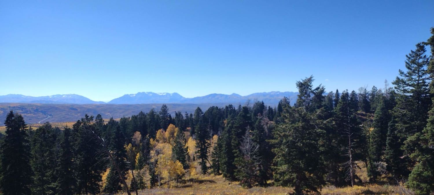
FS 80200 Cedar Hollow North 1
Total Miles
1.5
Tech Rating
Moderate
Best Time
Summer, Fall
Learn more about FS 80202 - Cedar Hollow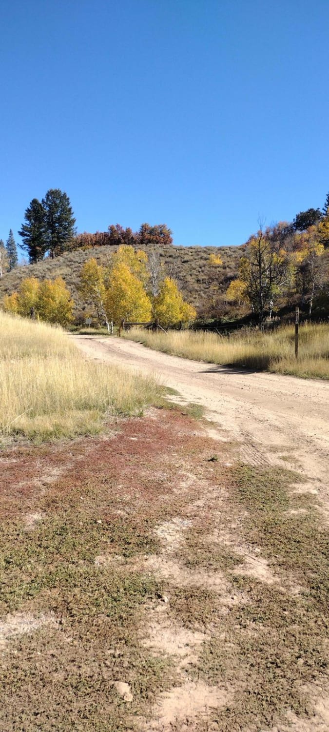
FS 80202 - Cedar Hollow
Total Miles
3.5
Tech Rating
Easy
Best Time
Summer, Fall

Learn more about FSR 40508/ FSR 40655 Loop
FSR 40508/ FSR 40655 Loop
Total Miles
4.5
Tech Rating
Easy
Best Time
Spring, Summer, Fall
Learn more about FSR 42642 To 40454
FSR 42642 To 40454
Total Miles
2.3
Tech Rating
Easy
Best Time
Spring, Summer, Fall
Learn more about FSR 446 & 439 loop off of 440
FSR 446 & 439 loop off of 440
Total Miles
2.2
Tech Rating
Easy
Best Time
Summer, Spring, Fall
Learn more about Full Frontage
Full Frontage
Total Miles
4.3
Tech Rating
Moderate
Best Time
Spring, Summer, Fall, Winter
ATV trails in Utah

Learn more about 14 Mile Road
14 Mile Road
Total Miles
14.7
Tech Rating
Easy
Best Time
Spring, Summer, Fall, Winter


UTV/side-by-side trails in Utah
Learn more about 14 Mile Road
14 Mile Road
Total Miles
14.7
Tech Rating
Easy
Best Time
Spring, Summer, Fall, Winter
The onX Offroad Difference
onX Offroad combines trail photos, descriptions, difficulty ratings, width restrictions, seasonality, and more in a user-friendly interface. Available on all devices, with offline access and full compatibility with CarPlay and Android Auto. Discover what you’re missing today!