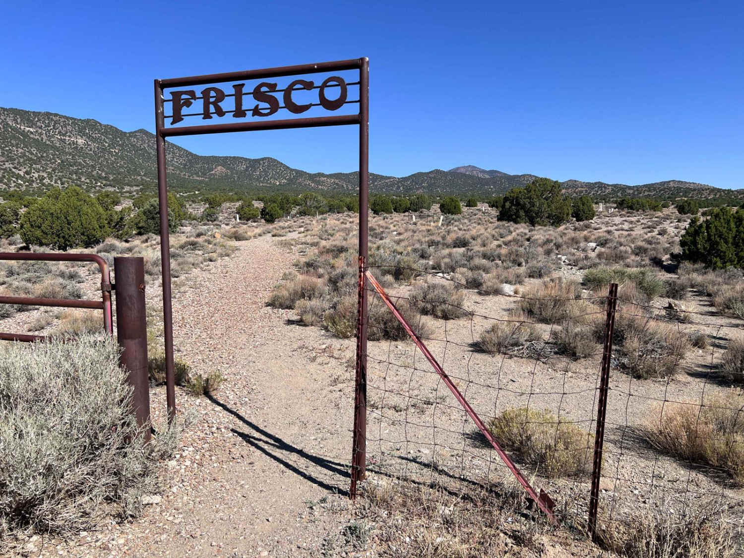
Frisco Mine & Cemetery
Total Miles
3.2
Technical Rating
Best Time
Spring, Summer, Fall
Trail Type
Full-Width Road
Accessible By
Trail Overview
This route takes you from a convenient trailhead to the Frisco Cemetery. BLM has closed the roads that lead to the mine but you have a great view of the operation from the cemetery. Also, take time to tour the cemetery. The average age of children born during the operation was 18 months. The cemetery has many solemn graves and shows the cost of living during that period. The trails are easily recognizable. Some of them are down washes, so their quality varies with the recent severe thunderstorms. There are some early kilns in the area, remainders of the smelter, and a narrow gauge railroad track that brought charcoal to the smelter.
Photos of Frisco Mine & Cemetery

Difficulty
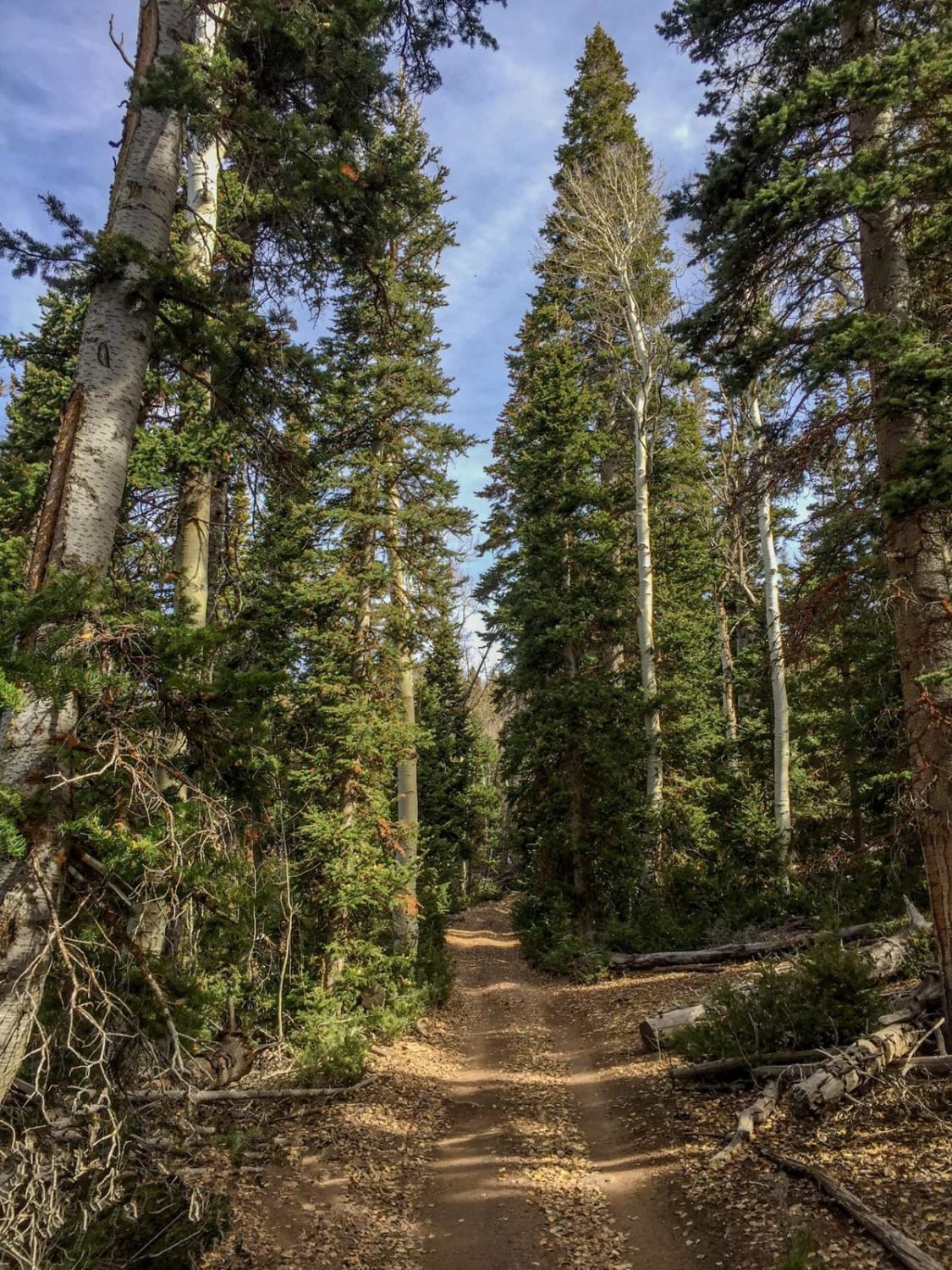
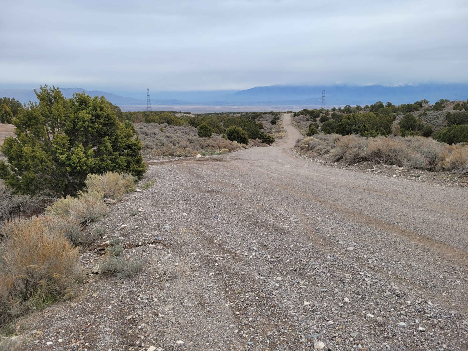
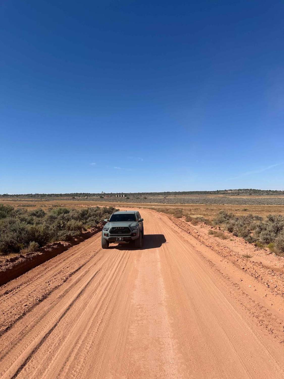
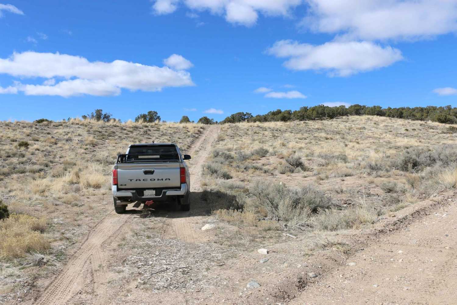
Most of this track is a two-lane-wide road. There are portions that include riding in a wash and some minor hills and washed-out areas to cross. This is a relatively easy track for the most part. Full-width vehicles may be scratched on some of the narrow portions of the trail.
History
The Frisco Mine area has a rich history tied to mining in Utah. It ran from 1877 to 1928 and boasted upwards of 6000 residents in its heyday. It was also one of the most lawless areas with numerous shootings almost daily until a sheriff came into town and started killing all the murders and robbers. He ruled with an iron fist after that. This mine is located in a remote part of the western desert. There is very little water in the area so all water and other needs for the community had to be brought in. See https://westernmininghistory.com/towns/utah/frisco/ for more details.
Status Reports
Frisco Mine & Cemetery can be accessed by the following ride types:
- High-Clearance 4x4
- SUV
- SxS (60")
- ATV (50")
- Dirt Bike
Frisco Mine & Cemetery Map
Popular Trails
Paiute ATV Trail Barney Lake to Monroe Peak
Elberta Slant Road
The onX Offroad Difference
onX Offroad combines trail photos, descriptions, difficulty ratings, width restrictions, seasonality, and more in a user-friendly interface. Available on all devices, with offline access and full compatibility with CarPlay and Android Auto. Discover what you’re missing today!