Cricket Mountain OHV Route 4
Total Miles
2.1
Technical Rating
Best Time
Spring, Summer, Fall, Winter
Trail Type
High-Clearance 4x4 Trail
Accessible By
Trail Overview
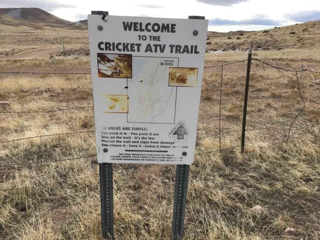
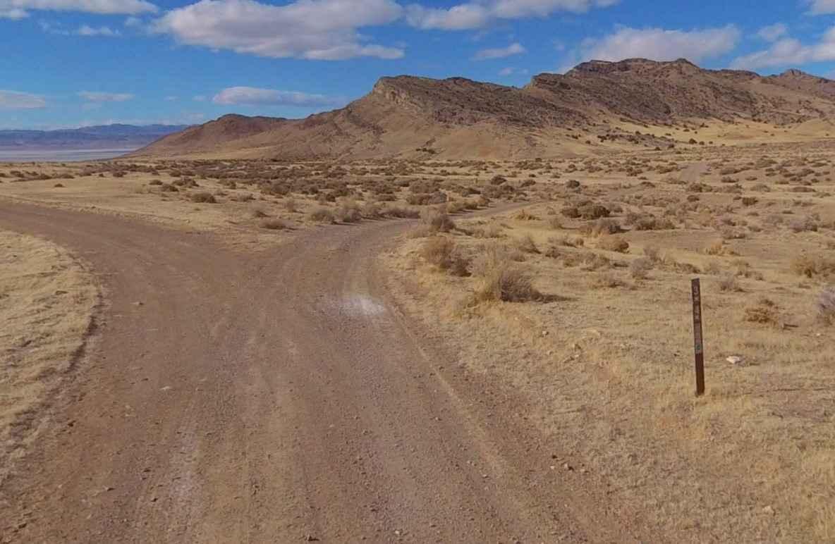
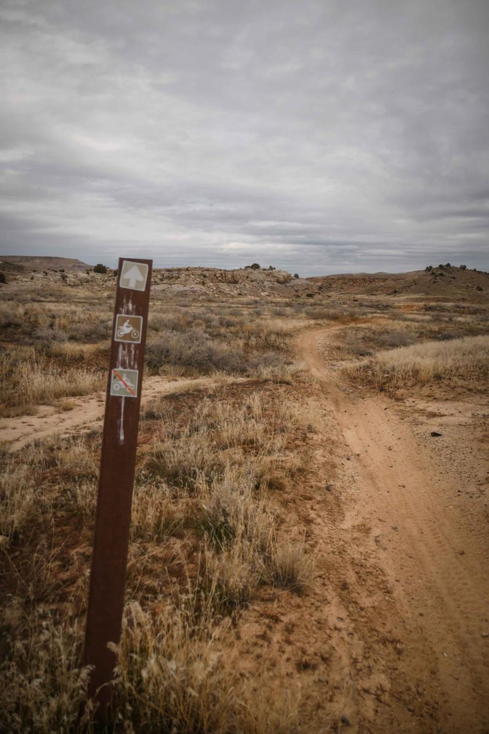
The Cricket Mountains OHV Trails provide approximately 129 miles of trails, ranging from easy to difficult. There are 12 designated routes within the Cricket Mountain ATV riding area. All routes within the trail network are marked with standard BLM trail designation signs. Route 4 is a 2-mile point-to-point trail that is rated 3 of 10 and considered easy by the BLM. Route 4 is a single-track trail that runs past Monument Point and connects with Route 3 and Headlight Gap. This trail and the connector Route 3 will take riders over the southern end of the Cricket Mountains. Remember to leave gates as you found them. There is gas, food, water, and lodging in Delta, UT, but on the trail system there are no services. Be prepared with food, water and fuel. There is no cell service in much of the area, so bring a map and don't rely on your phone.
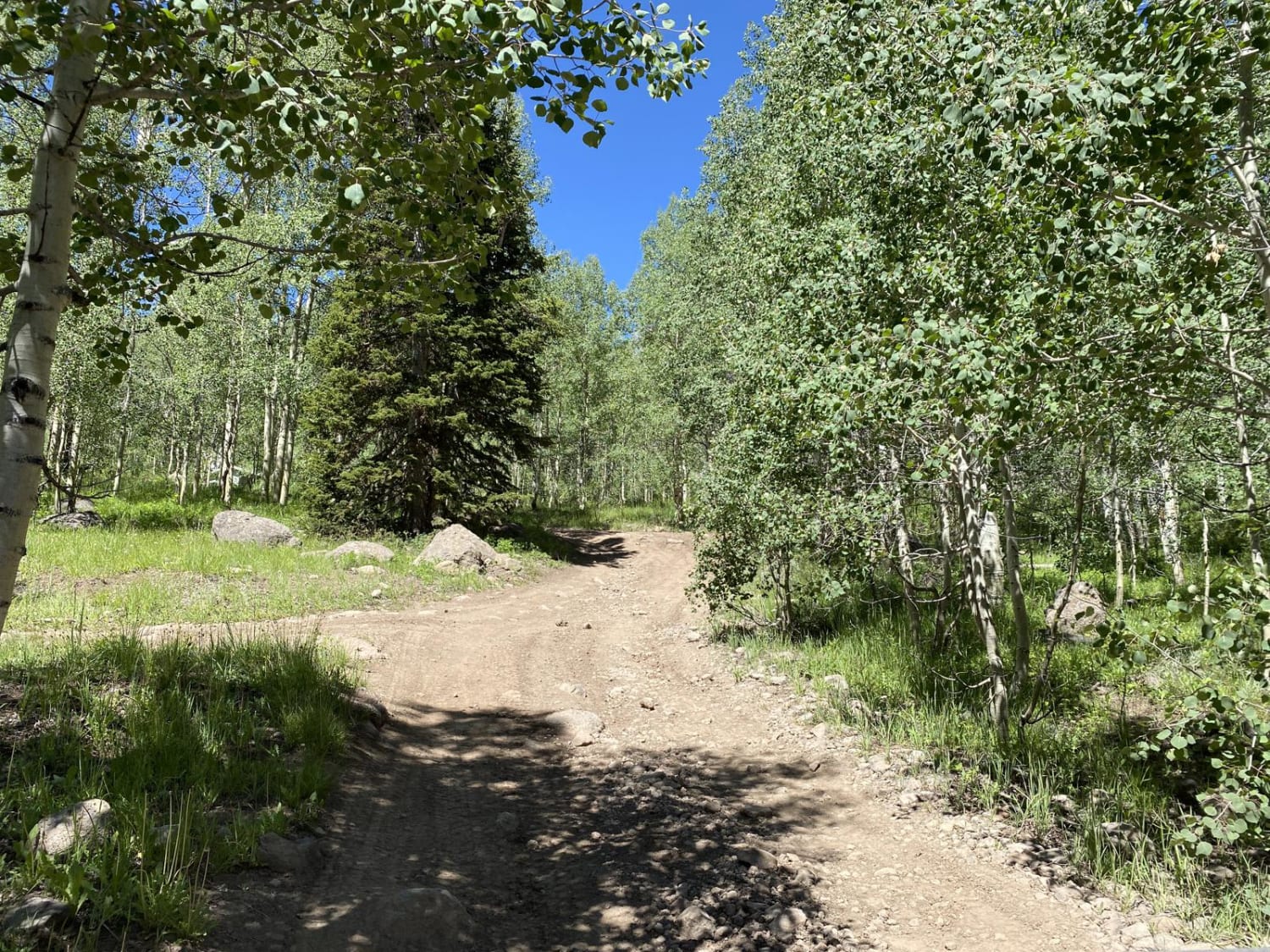
Photos of Cricket Mountain OHV Route 4
Difficulty
Trail consisting of loose rocks, dirt, and sand with some slickrock surfaces, mud holes possible, no steps higher than 12". 4WD may be required, aggressive tires a plus.
History
The Cricket Mountains OHV trails are located in Millard County Utah and several Trailheads with good parking areas located on Utah Hwy 257 between Delta Utah and Milford Utah. There are approximately 120 miles of trails and gravel roads in this trail system. There are four trailheads along Highway 257. Trailhead access is located at Johnson Pass at mile post 53, Little Sage Valley at mile post 39, Cedar Pass at mile post 28 and at milepost 23. Trailhead at mile marker 23 is suitable for vehicles with trailers, other trailheads do not seem well suited to large vehicles due to limited space to turn around or park off of the road. The Cricket Mountain OHV trails passing through mountainous terrain, pinyon-juniper forests and valley floor, these trails range from easy to difficult, and are sure to please all experience levels.
Status Reports
Cricket Mountain OHV Route 4 can be accessed by the following ride types:
- High-Clearance 4x4
- SxS (60")
- ATV (50")
- Dirt Bike
Cricket Mountain OHV Route 4 Map
Popular Trails

Old Canyon Road
Arrowhead Trail
Gates Lake Road
The onX Offroad Difference
onX Offroad combines trail photos, descriptions, difficulty ratings, width restrictions, seasonality, and more in a user-friendly interface. Available on all devices, with offline access and full compatibility with CarPlay and Android Auto. Discover what you’re missing today!
