FS #41185 Extension (50" Trail)
Total Miles
1.6
Technical Rating
Best Time
Spring, Summer, Fall
Trail Type
50" Trail
Accessible By
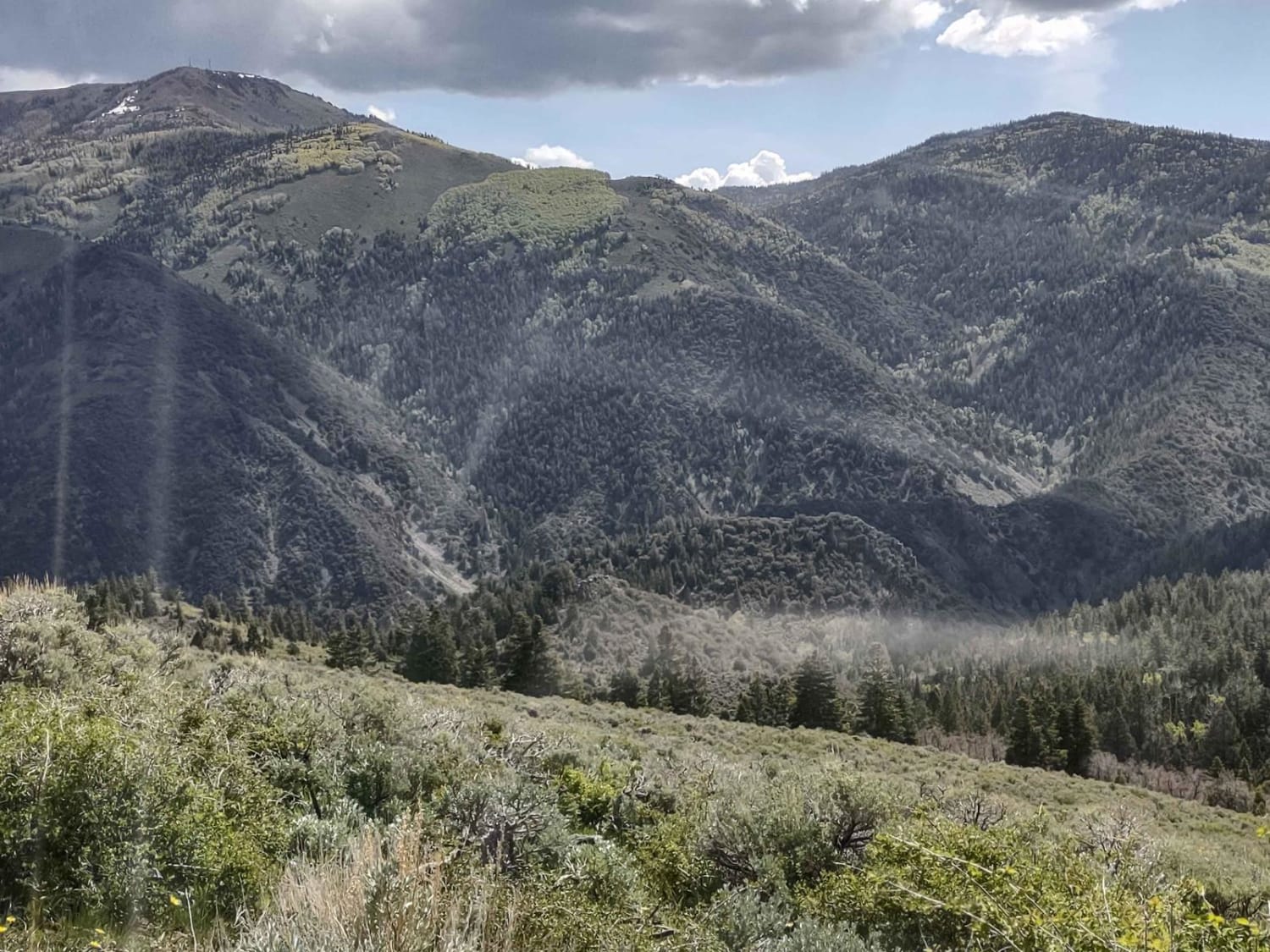
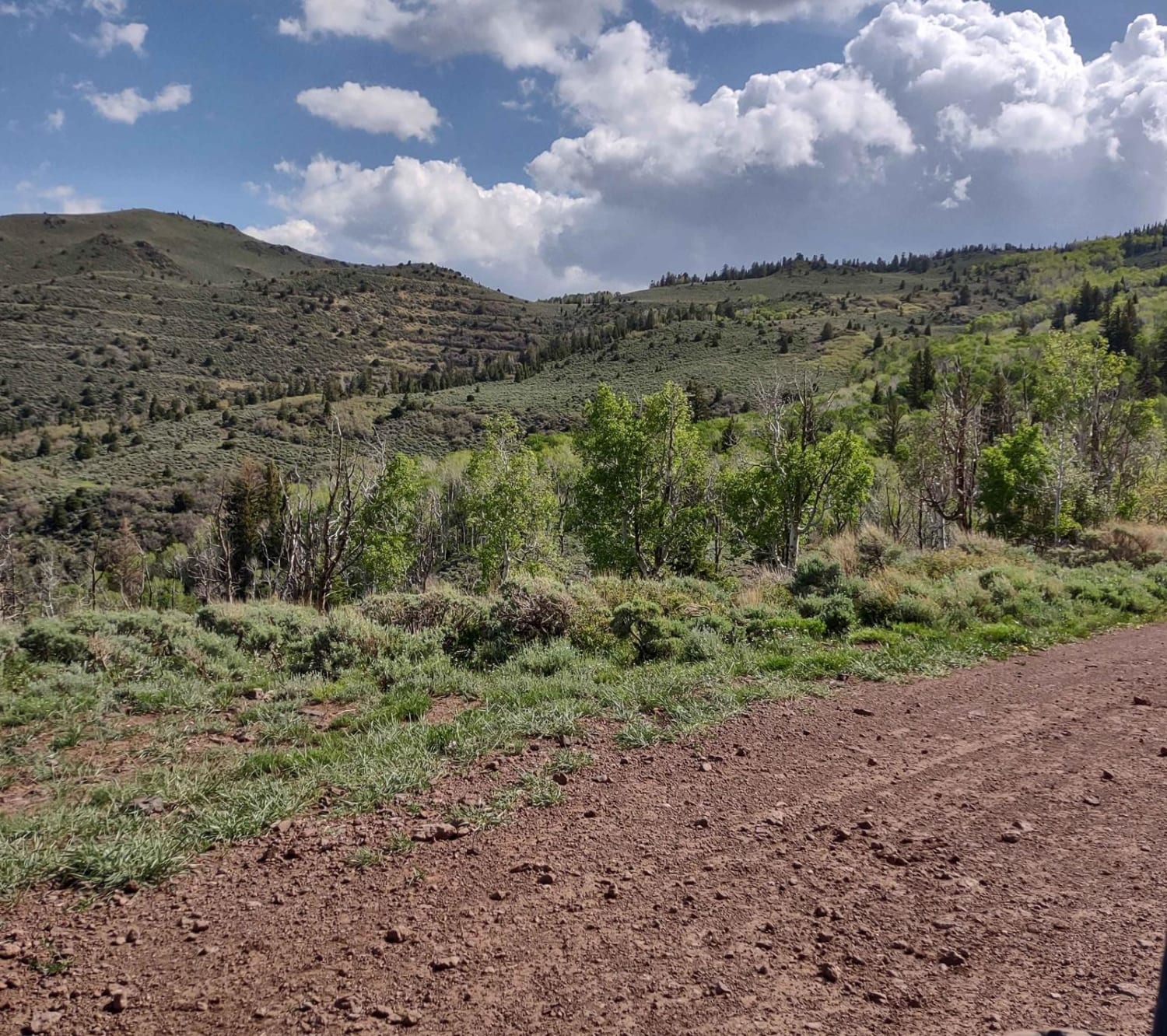
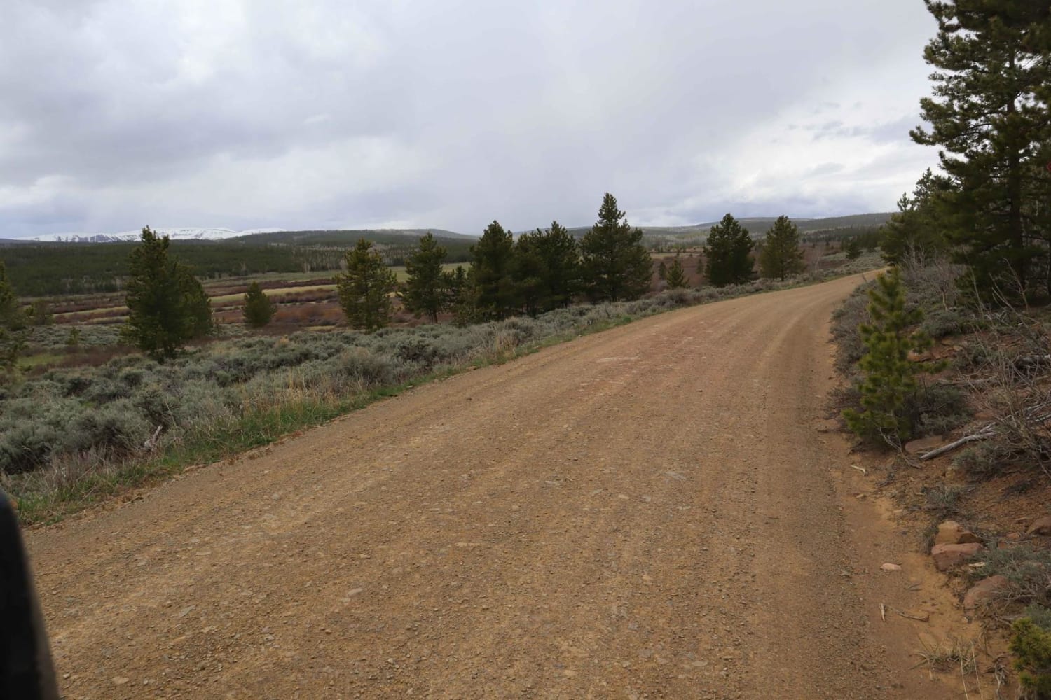
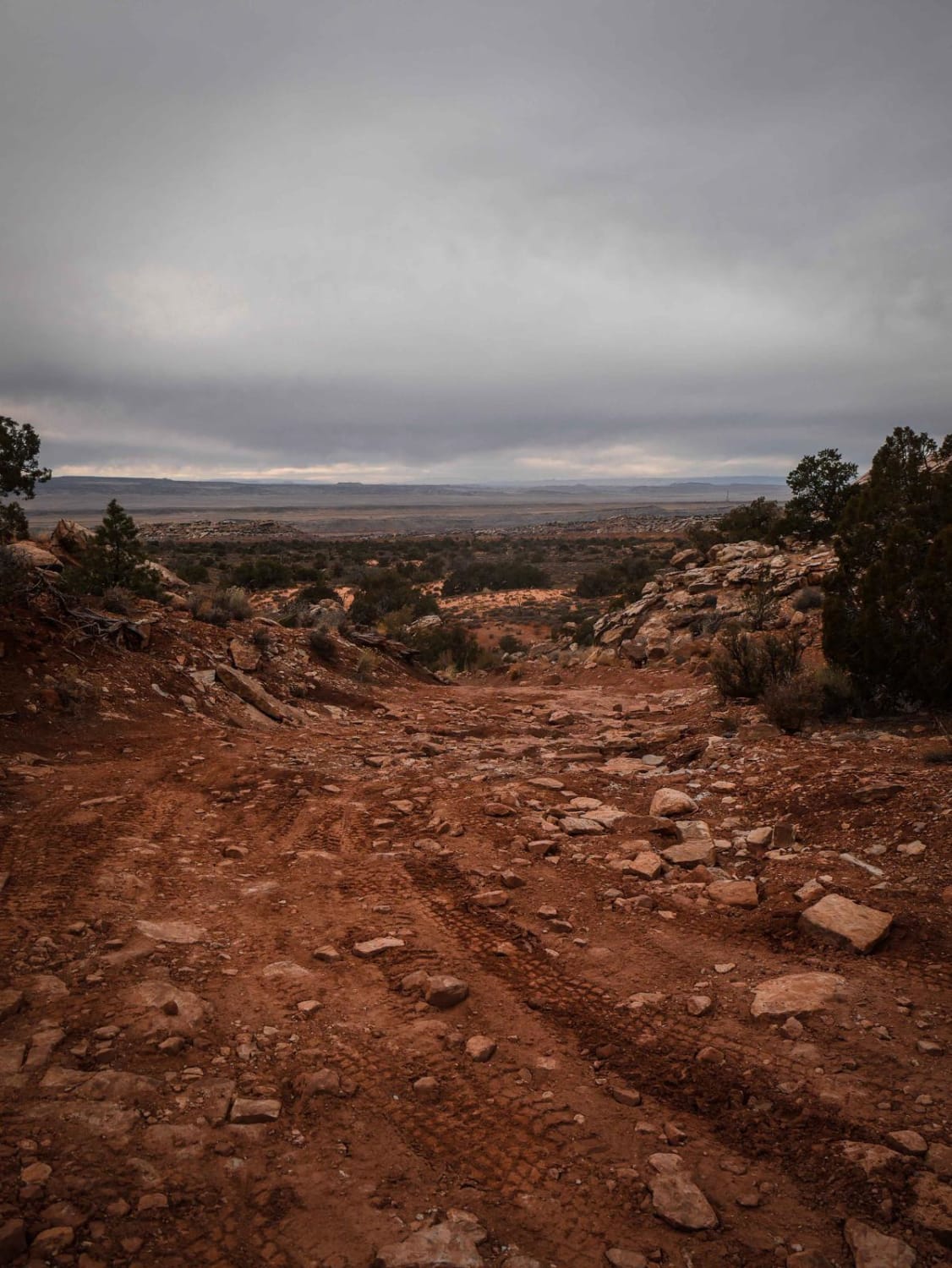
Trail Overview
This trail completes FS #41185, running NE in the Fishlake National Forest from the Paiute ATV Trail Barney Lake to Monroe Peak. The FS map shows that the lower part of 41185 is for full-size vehicles, but this extension is a 50" trail according to the signage on the trail. You move off the beaten path, in the neighborhood of both Monroe Peak (11217 ft) and Marysvale Peak (10925 feet) to a turn-around location overlooking a canyon/draw. In the first week of June, this trail was mostly dry. There was one place the runoff was still puddling on the trail, but not creating too much mud as the trail is hard-packed. In February of 2023, Utah began enforcement of a new law, which requires an online education course for all off-roaders. The free course is available online. Google "Utah OHV Education Course," and the free test will pop up. It's an easy test that will only take 15-30 minutes, and it's required for all off-roaders, Jeeps, SXSs, dirt bikes, and ATVs. Kids under the age of 18 will have to take the Youth Education Test at the same site. After completing the test, print out the certificate to carry with you which shows you completed the course. We have taken it, and it's really no big deal. Good reminders about trail etiquette and trail preservation.
Photos of FS #41185 Extension (50" Trail)
Difficulty
This is an easy trail with an easy water crossing.
Status Reports
FS #41185 Extension (50" Trail) can be accessed by the following ride types:
- ATV (50")
- Dirt Bike
FS #41185 Extension (50" Trail) Map
Popular Trails
Hunts Lakes Loop - FS 40075
Conger Mountain OHV Route 1
The onX Offroad Difference
onX Offroad combines trail photos, descriptions, difficulty ratings, width restrictions, seasonality, and more in a user-friendly interface. Available on all devices, with offline access and full compatibility with CarPlay and Android Auto. Discover what you’re missing today!