Browns Hole Road
Total Miles
3.9
Technical Rating
Best Time
Spring, Summer, Fall
Trail Type
Full-Width Road
Accessible By
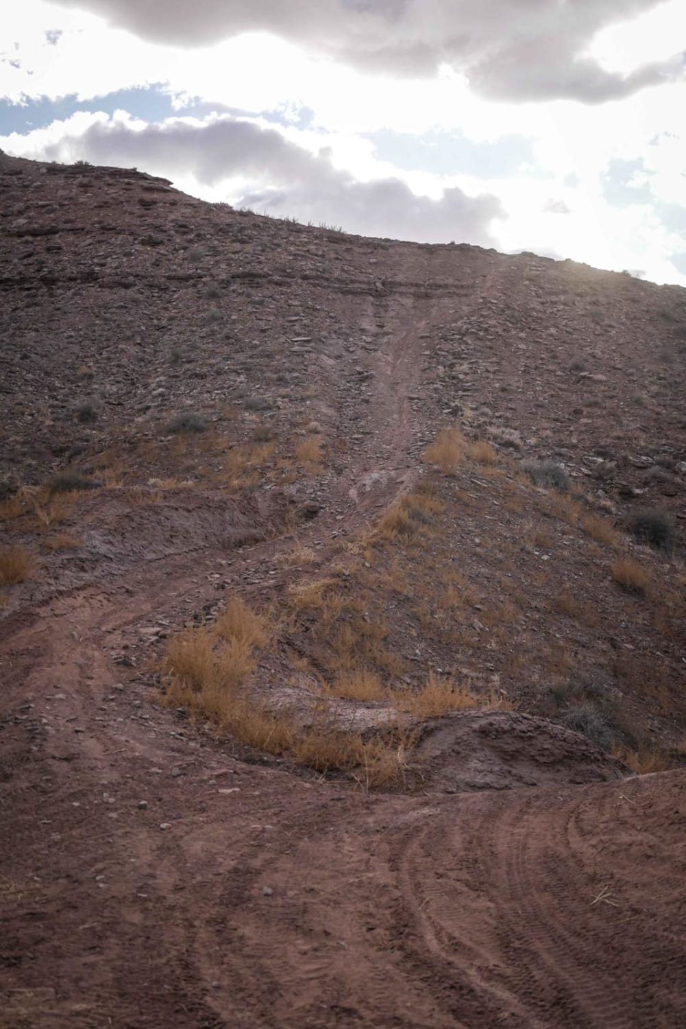
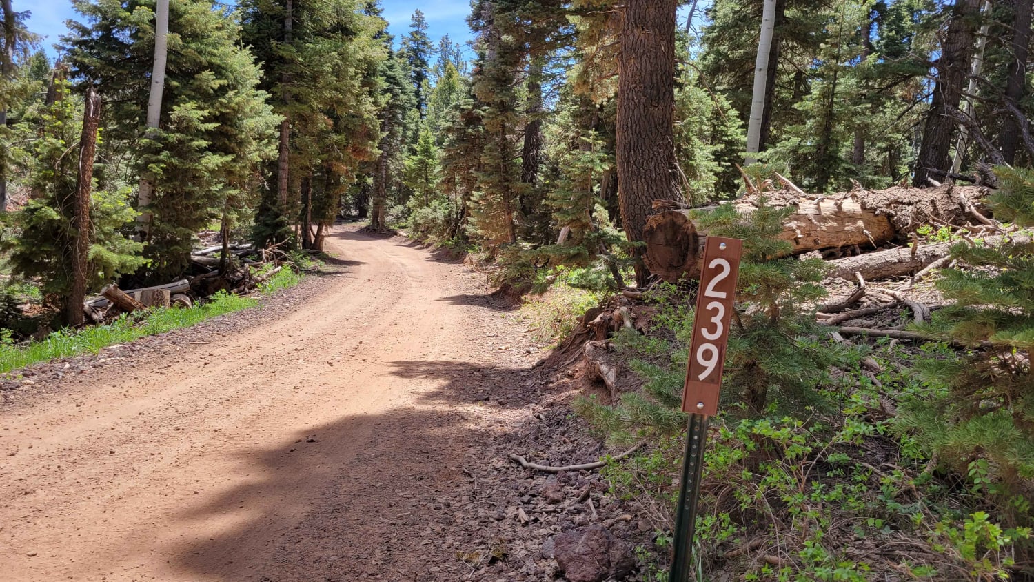
Trail Overview
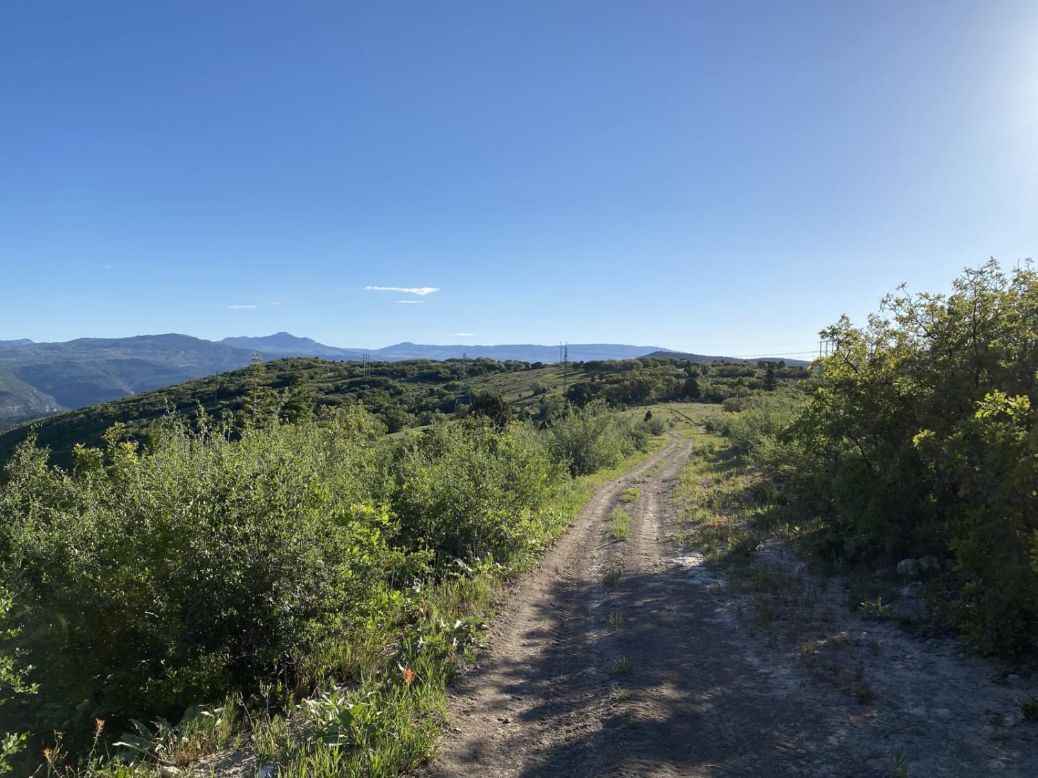
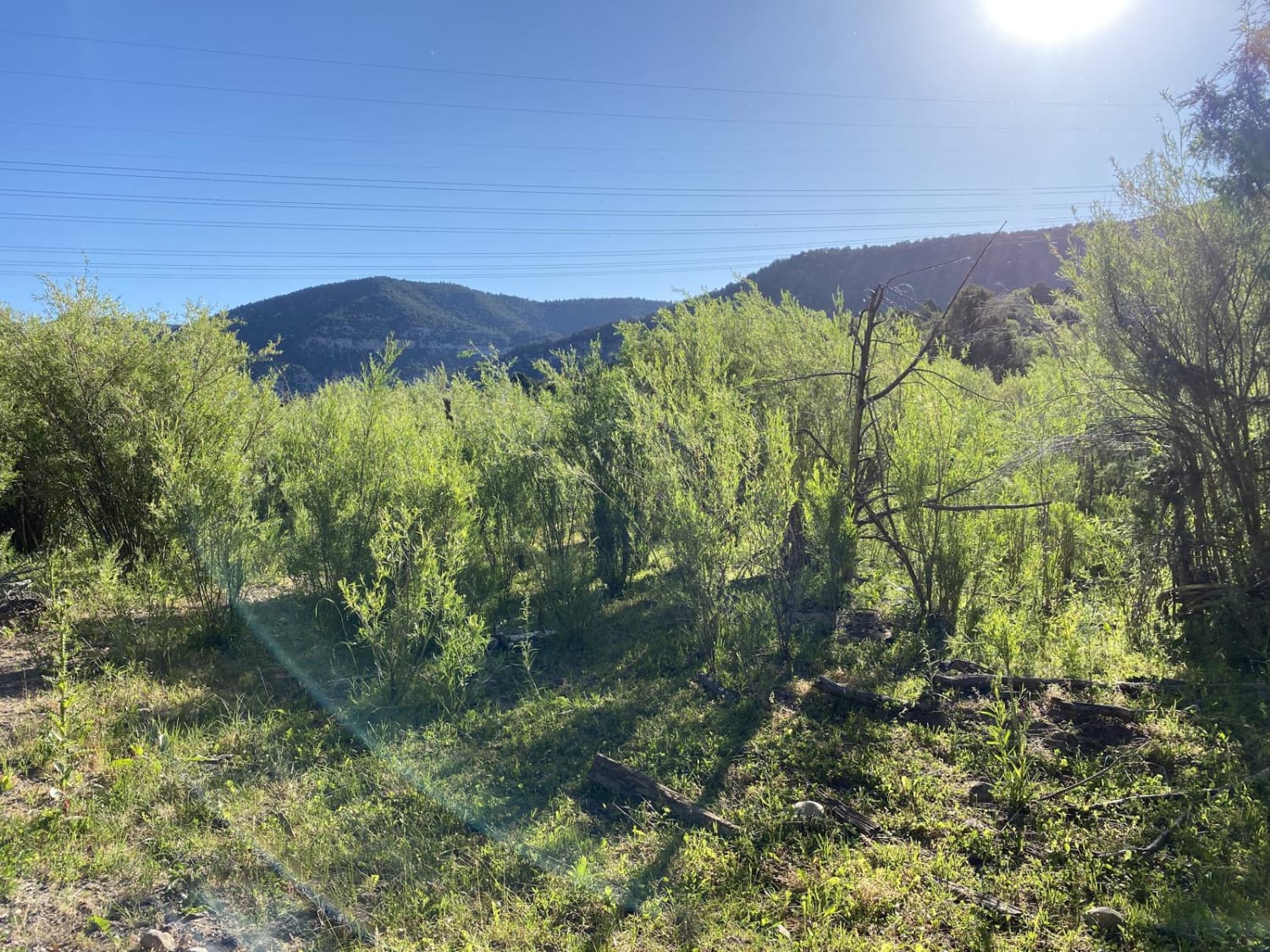
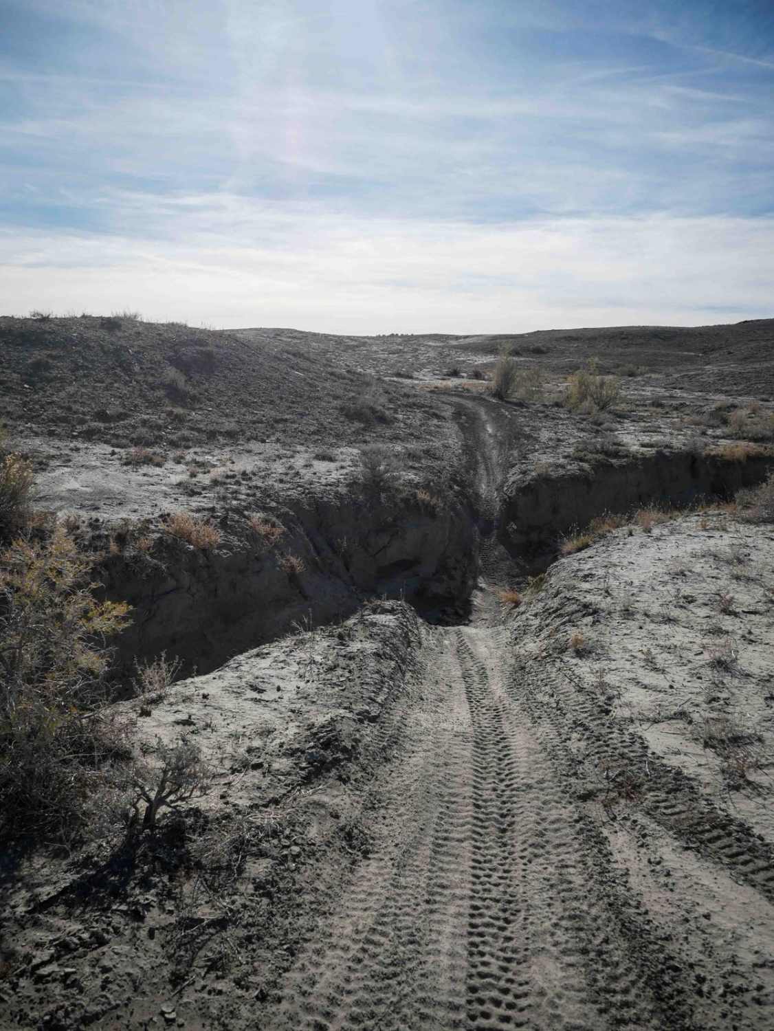
Brown's Hole is accessed off of Gooseberry Road. The road descends 600 feet over 2.4 miles to Catamount Road and several 50" trails: Catamount trail, Antone's Hollow and Brown's Hole trail. The vegetation is mostly grasses, sagebrush and quaking aspen trees with some scrub oak. Many different types of wildlife frequent the area, such as mule deer, elk, coyotes, mountain lions and wild turkey. There are several unmaintained camping areas throughout the route.
Photos of Browns Hole Road
Difficulty
The road is dirt and unmaintained. Can be slick in inclement weather.
Status Reports
Browns Hole Road can be accessed by the following ride types:
- High-Clearance 4x4
- SUV
- ATV (50")
- Dirt Bike
Browns Hole Road Map
Popular Trails
Cricket Mountain OHV Route 9
Dee Flat Trail
Harris Rim Loop Connector
The onX Offroad Difference
onX Offroad combines trail photos, descriptions, difficulty ratings, width restrictions, seasonality, and more in a user-friendly interface. Available on all devices, with offline access and full compatibility with CarPlay and Android Auto. Discover what you’re missing today!