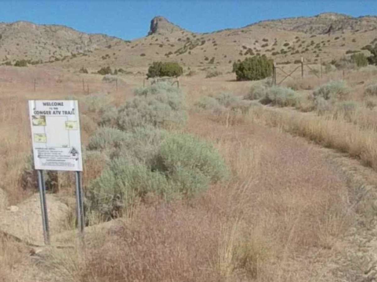
Trail Overview
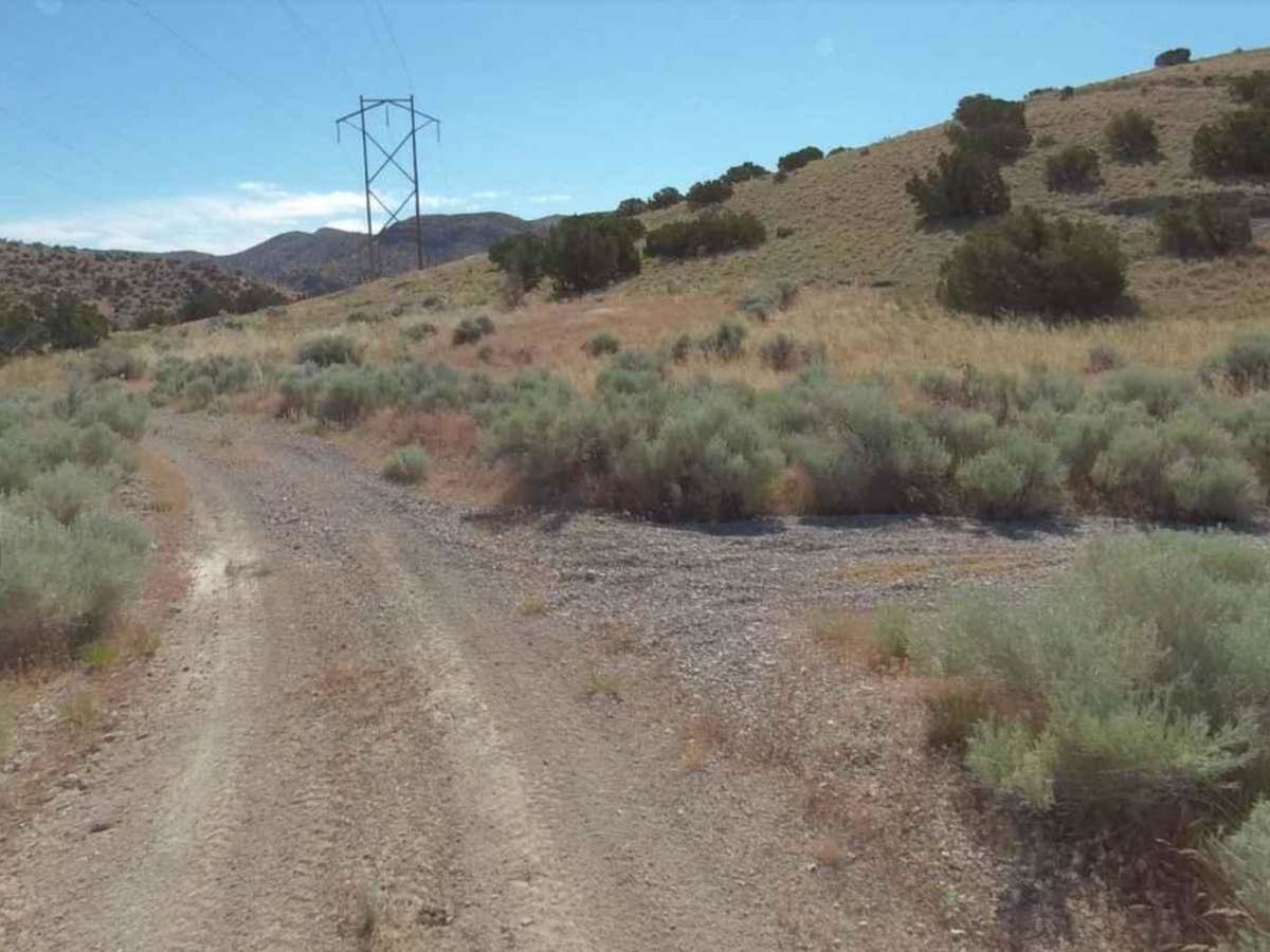
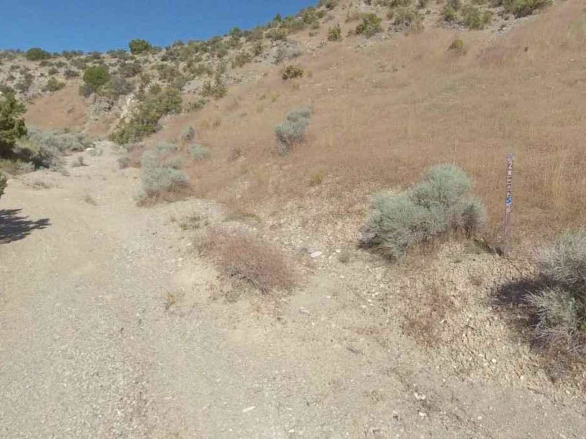
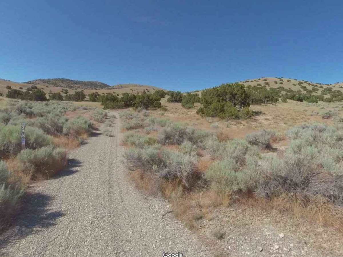
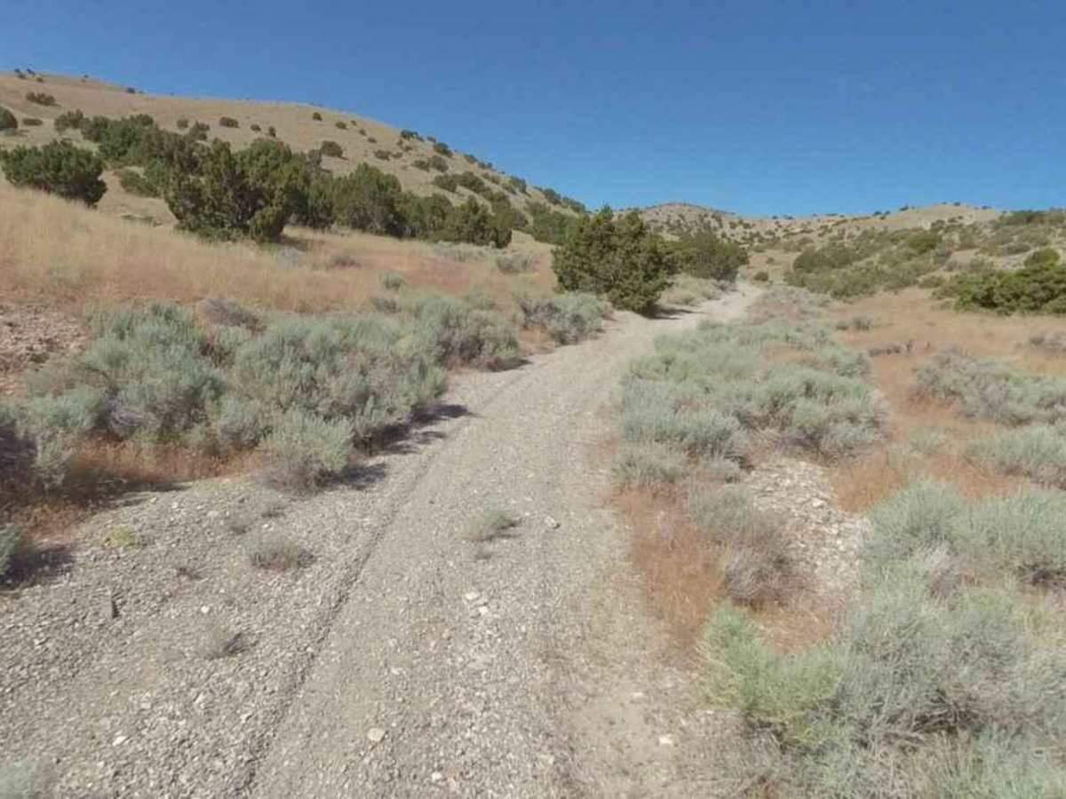
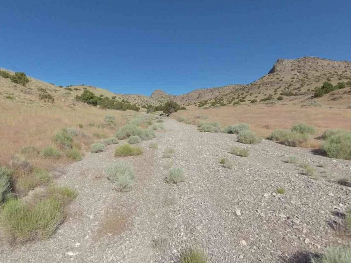
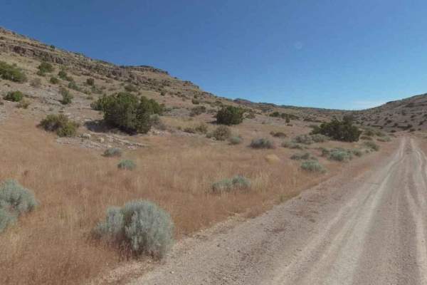
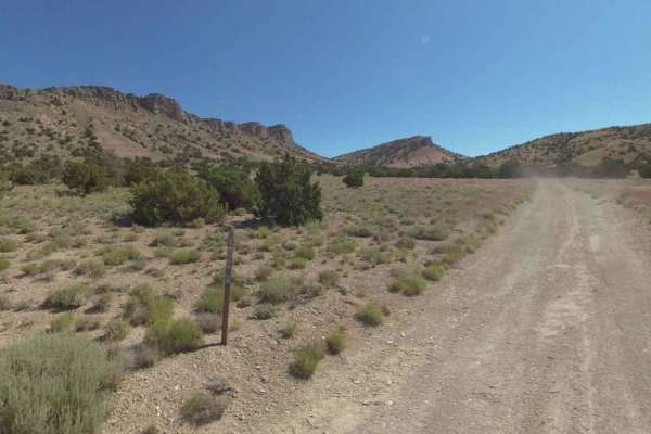
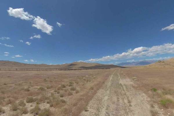
The Cricket Mountains OHV Trails provide approximately 127 miles of trails, ranging from easy to difficult. There are 12 designated routes within the Conger Mountain OHV riding area. All routes within the trail network are marked with standard BLM trail designation signs. Located within the Conger Mountains is the Conger Wilderness Study Area. Route 1 & 5 circle the WSA. The Conger Mountains are home to an abundance of wild life to include Pronghorn Antelope, various eagles and hawks and a herd of wild horses. This area of the state has incredible night skies so make plans for some stargazing and spend a night or two. Route 2 is a 4.9-mile point-to-point trail rated 3 of 10 located in Millard County, Utah. Route 2 is access from the trailhead on Highway6/50 at milepost 23.6 and is considered more difficult by the BLM. Route 2 runs along a gravel wash bed and connects with Route 1 in the north. Due to the remote nature of this area, always carry adequate water and make certain you have enough gasoline. Gas is available at the Border Inn, 16 miles away from the turnoff to Conger Mountain. Remember to leave gates as you found them. Be prepared with food, water and fuel. There is no cell service in much of the area, so bring a map and don't rely on your phone.
Difficulty
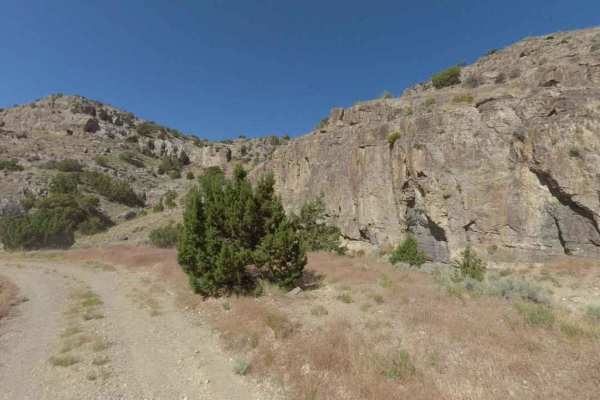
Trail consisting of loose rocks, dirt, and sand with some slickrock surfaces, mud holes possible, no steps higher than 12". 4WD may be required, aggressive tires a plus.
History
The Conger Mountains OHV trails are located in Millard County Utah and several trailheads at Little Valley Well and Kings Canyon. There are approximately 127 miles of trails and gravel roads in this trail system. There are four trailheads along Highway 257. The Conger Mountain OHV trails passing through mountainous terrain, pinyon-juniper forests and valley floor, these trails range from easy to difficult, and are sure to please all experience levels.