Frisco Peak Road
Total Miles
10.2
Technical Rating
Best Time
Spring, Summer, Fall
Trail Type
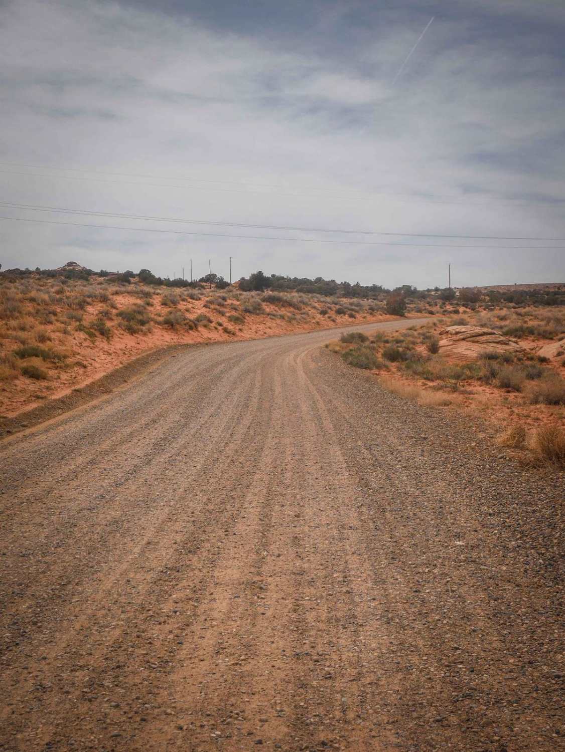
Full-Width Road
Accessible By
Trail Overview
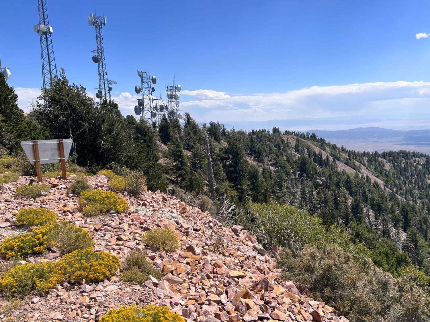
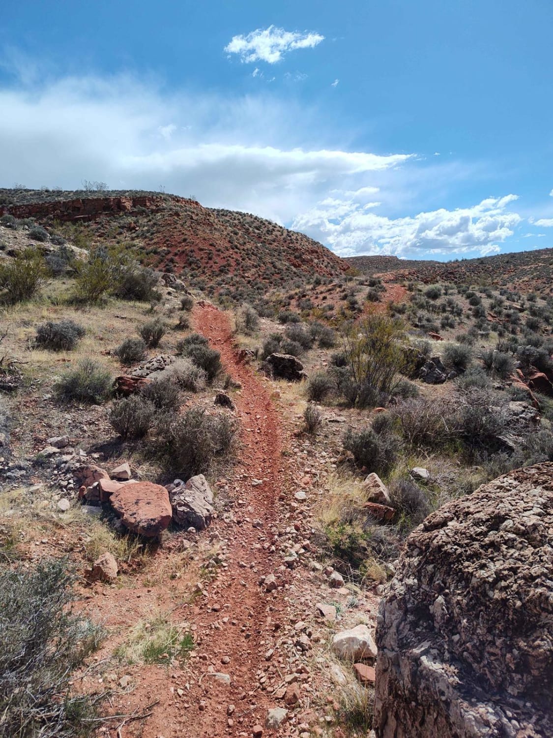
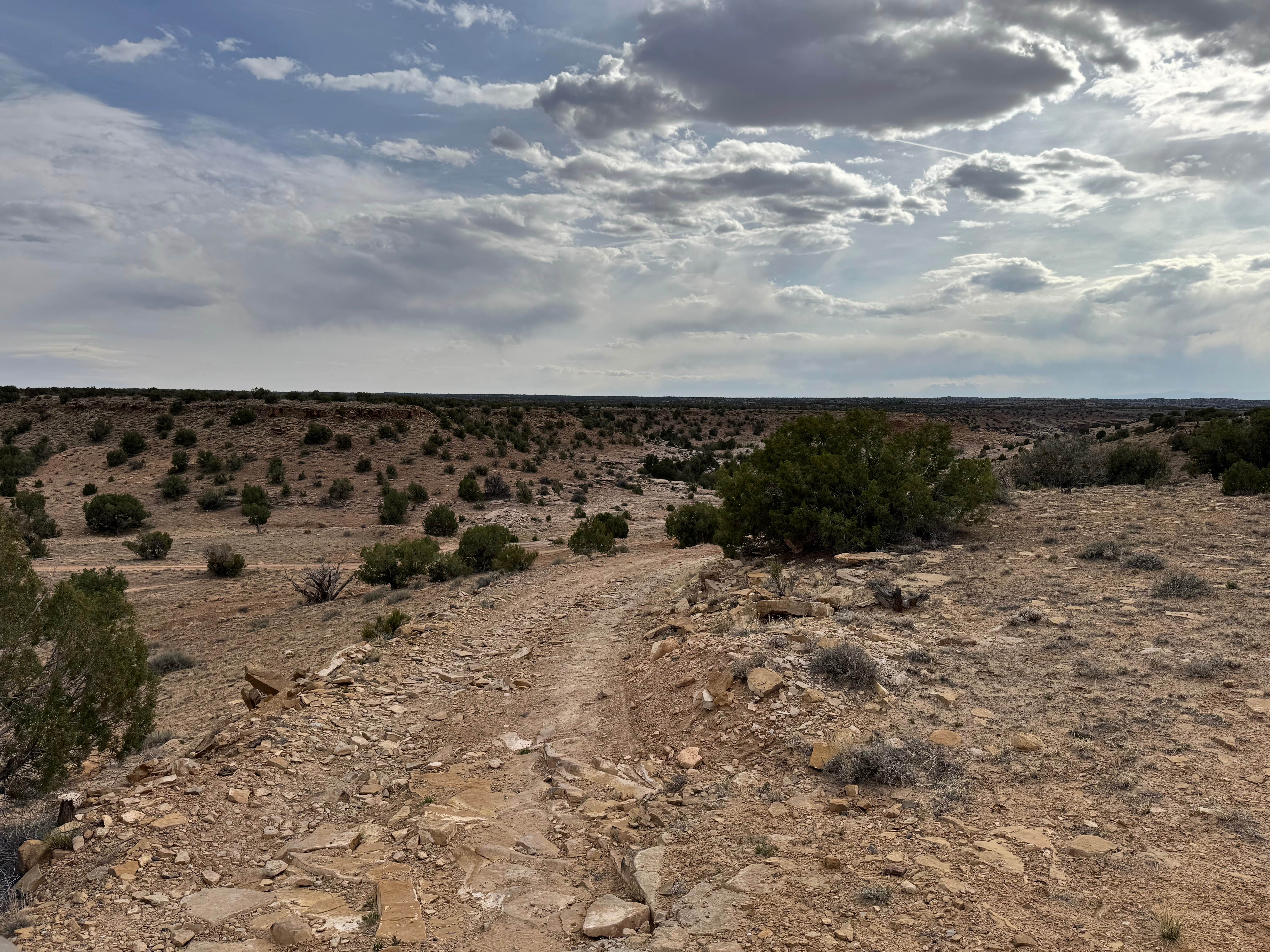
This road is used by workers who support the communications equipment, observatory, and visitors to the peak. It is well maintained but you will need a 4WD vehicle as some of the route is very steep and rocky. The climb up the mountain is filled with changes in the view as you climb the sharp switchbacks. Once you reach the top there is a university online observatory to the south and communications equipment to the north. Just past the communications equipment is one of the unique features. The mountain has a hang glider launching ramp where, with the proper conditions, hang gliders have traveled hundreds of miles off this ramp.
Photos of Frisco Peak Road

Difficulty
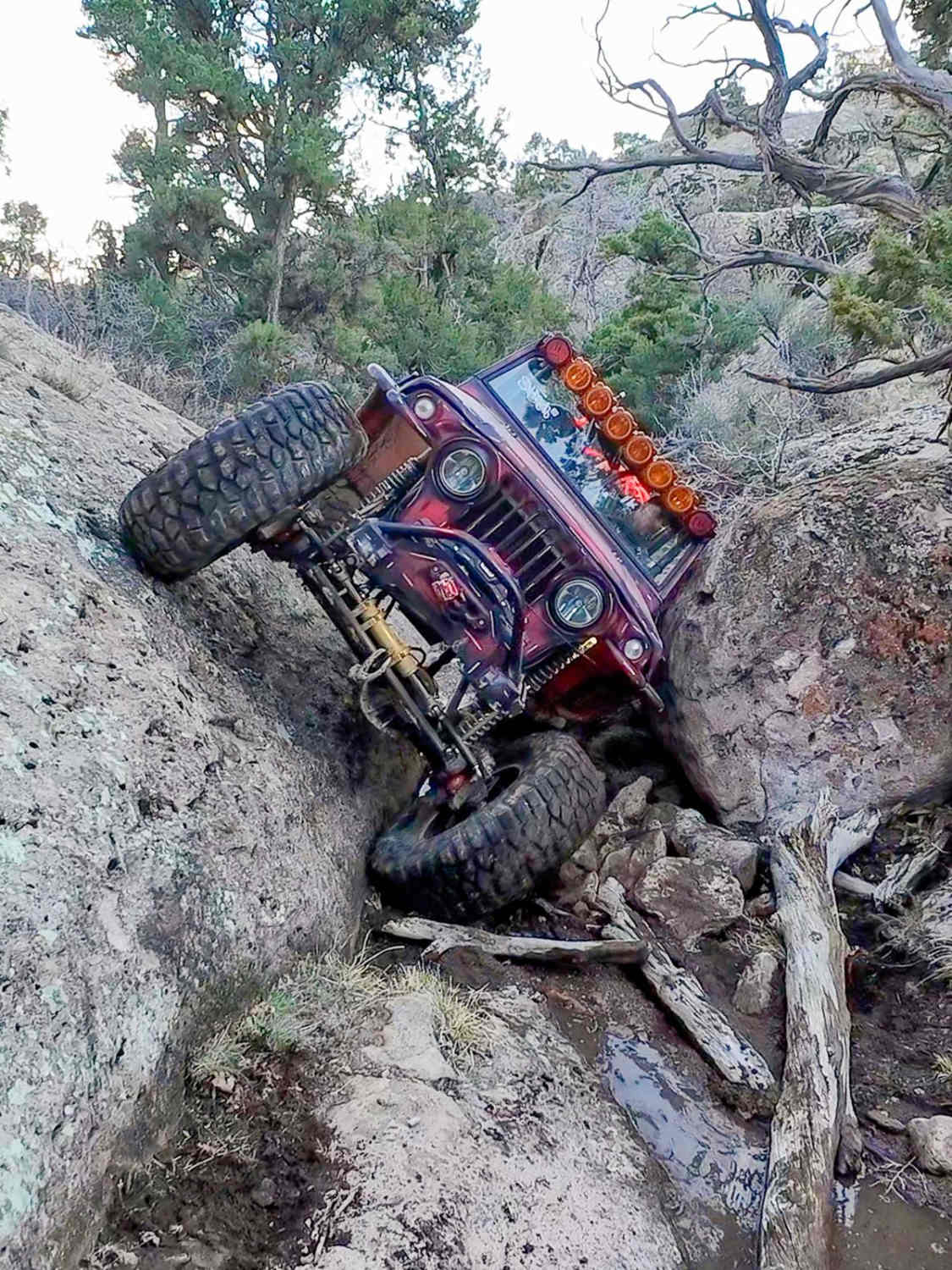
There is a 4WD required warning sign at the base of the mountain and giving heed to that sign is recommended. The climb up the mountain is challenging even with the switchbacks. Some of the turns are very sharp, rocky, and steep. Watch your vehicle's temperatures as this climb will stress many vehicles, especially in the summer months.
Status Reports
Frisco Peak Road can be accessed by the following ride types:
- High-Clearance 4x4
- SUV
- SxS (60")
- ATV (50")
- Dirt Bike
Frisco Peak Road Map
Popular Trails
Edge of the World - Single Track
South Jacobs Tanks Road
Morrison Knudsen Tunnels
The onX Offroad Difference
onX Offroad combines trail photos, descriptions, difficulty ratings, width restrictions, seasonality, and more in a user-friendly interface. Available on all devices, with offline access and full compatibility with CarPlay and Android Auto. Discover what you’re missing today!