Yucca Way Spur
Total Miles
0.3
Technical Rating
Best Time
Spring, Summer, Fall, Winter
Trail Type
High-Clearance 4x4 Trail
Accessible By
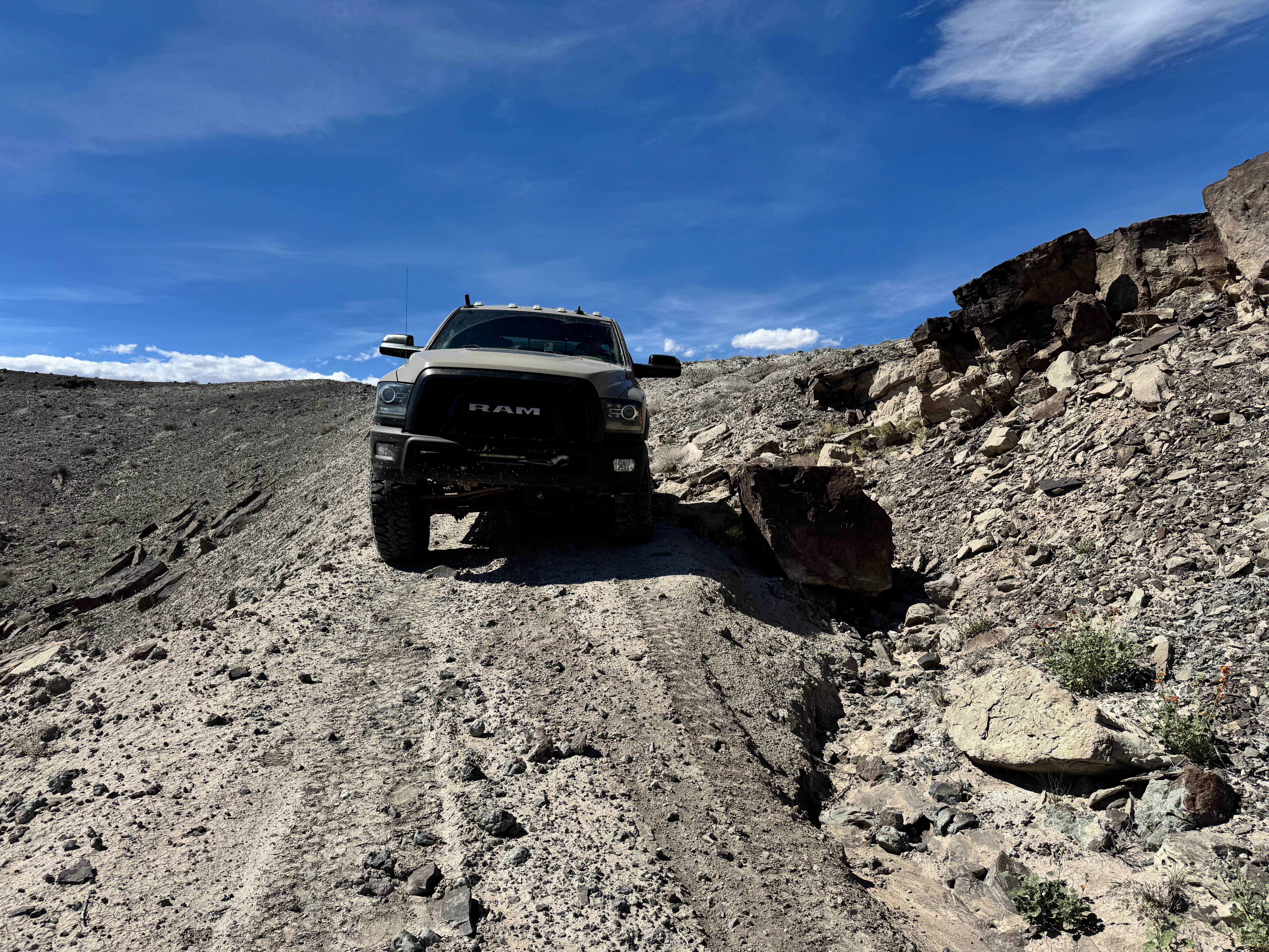
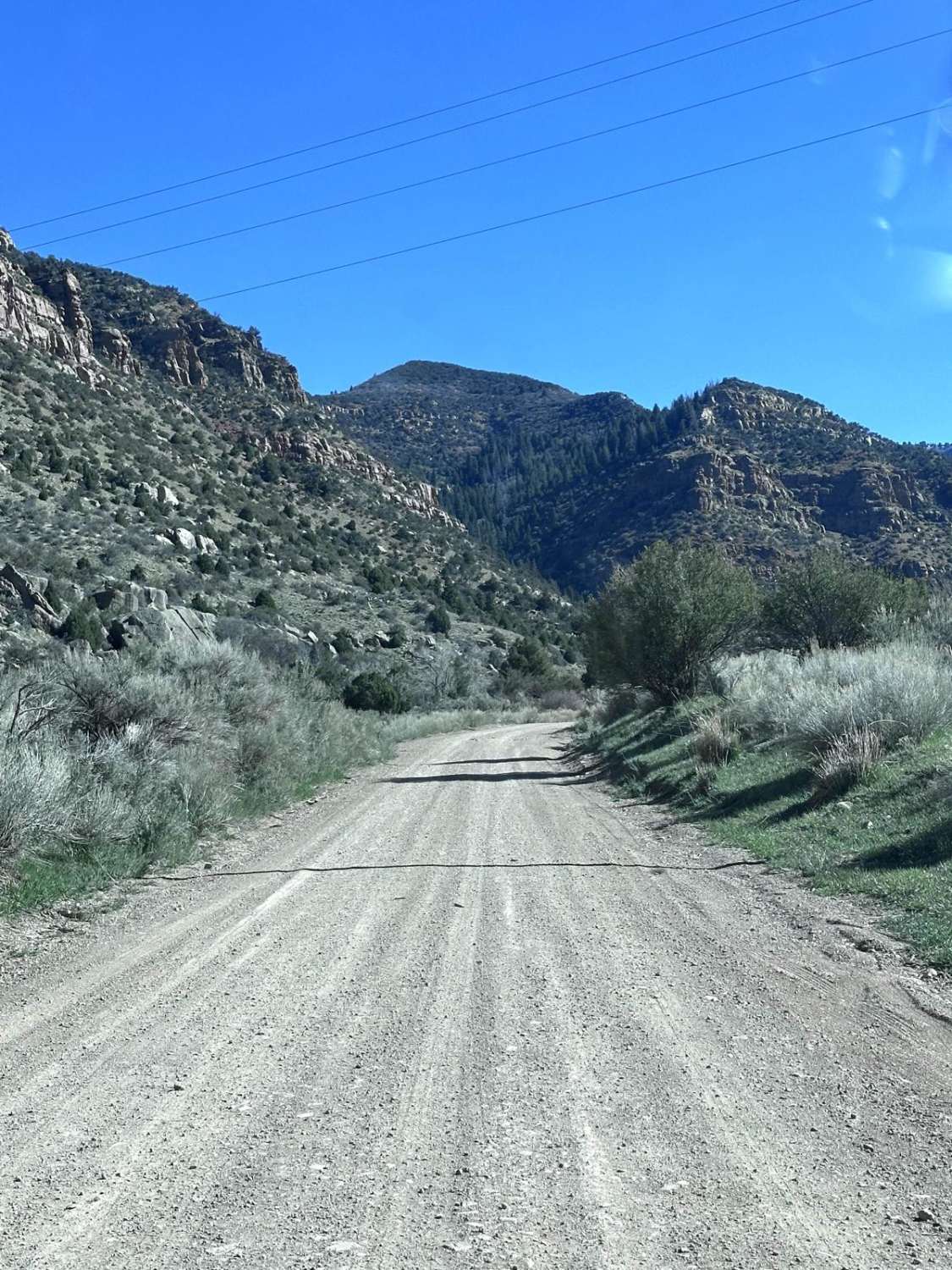
Trail Overview
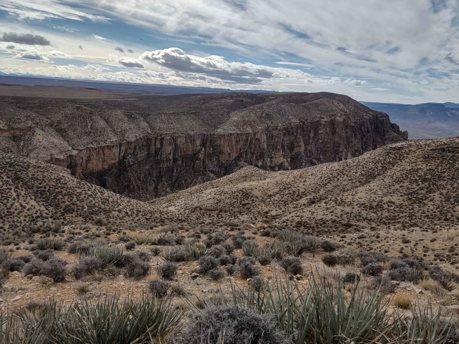
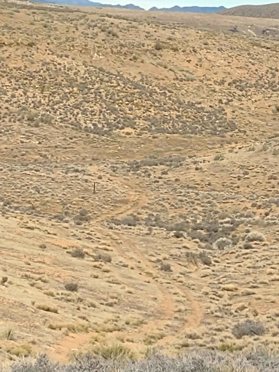
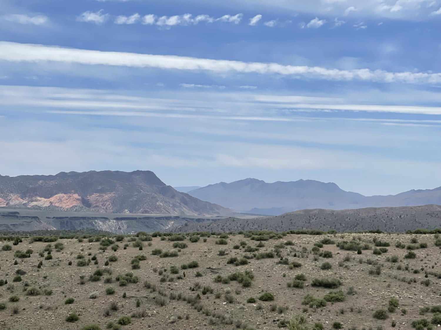
This little spur takes you close to the edge of the rim up on Gould's Rim in an area south of Mollie's Nipple where there is a canyon overlook. The views of Smith's Mesa to the east, Sand Hollow, East Mesa, and the canyon to the west are fantastic. Be sure to bring your camera. You won't be disappointed when exploring the top of Gould's Rim. During the spring, summer and fall, watch for rattlesnakes up here. And bring plenty of extra fuel so you can ride all day. Extra fuel can be purchased in Virgin or Colorado City or Toquerville, but that will mean you have to go on pavement into one of those towns. There is no staging area at Highway 59 and Antelope/Honeymoon Trail. If you want to stage up on the mesa, you go on 59 to the top and come back over to the rim side on one of the trails running east and west. From Canyon Overlook you can explore the full length of the Antelope/Honeymoon Trail, which takes you south into Arizona. You can easily get to the Smith Mesa Trail or Rattlesnake Gulch to Toquerville. And you're not far from Little Creek Mesa. You can take the Cliffside Trail to Little Creek Mesa, or you can go further south and follow the Around Little Creek Mountain Trail. This playground is vast and not very crowded. Starting Feb 2023, Utah is going to begin enforcement of their new law, which requires an online course for all off-roaders. The free course will be available online as of Jan 1, 2023. The state says the online course will take 15-30 minutes, and it's required for all off-roaders, Jeeps, SXSs, dirt bikes, and ATVs. You will have to print out something to carry with you which shows you took the course. I have a photo below with this information.
Photos of Yucca Way Spur
Difficulty
This is an easy trail. If it has rained recently or snowed, it will be muddy.
History
Mollie's Nipple: Local sources claim that Mollie's Nipple was named by John Kitchen, an early pioneer, and explorer of Utah. According to early local cowhands, this butte was named as a compliment to Kitchen's bride Mollie. Honeymoon Trail: During the late 1800s and early 1900s, a primitive wagon road was the principal travel route between the Mormon settlements in northeastern Arizona and southern Utah. In the late 1870s, Mormon colonists had been sent by church leaders to pioneer new settlements along Arizona's Little Colorado River. As the new settlements were remote and isolated, many goods and services could only be obtained from the established Mormon communities of southern Utah. After 1877, the Arizona Mormon settlers also traveled to St. George, Utah to conduct church business and have their marriage vows solemnized in the newly-completed St. George Temple. So many newlyweds traveled the wagon road that it came to be known as "the Honeymoon Trail".
Status Reports
Yucca Way Spur can be accessed by the following ride types:
- High-Clearance 4x4
- SxS (60")
- ATV (50")
- Dirt Bike
Yucca Way Spur Map
Popular Trails
Baker Hot Springs
Southside Tobin Bench
Orange Trail Shelf Road
The onX Offroad Difference
onX Offroad combines trail photos, descriptions, difficulty ratings, width restrictions, seasonality, and more in a user-friendly interface. Available on all devices, with offline access and full compatibility with CarPlay and Android Auto. Discover what you’re missing today!