Off-Road Trails in Utah
Discover off-road trails in Utah
Learn more about Gussie Draw Trail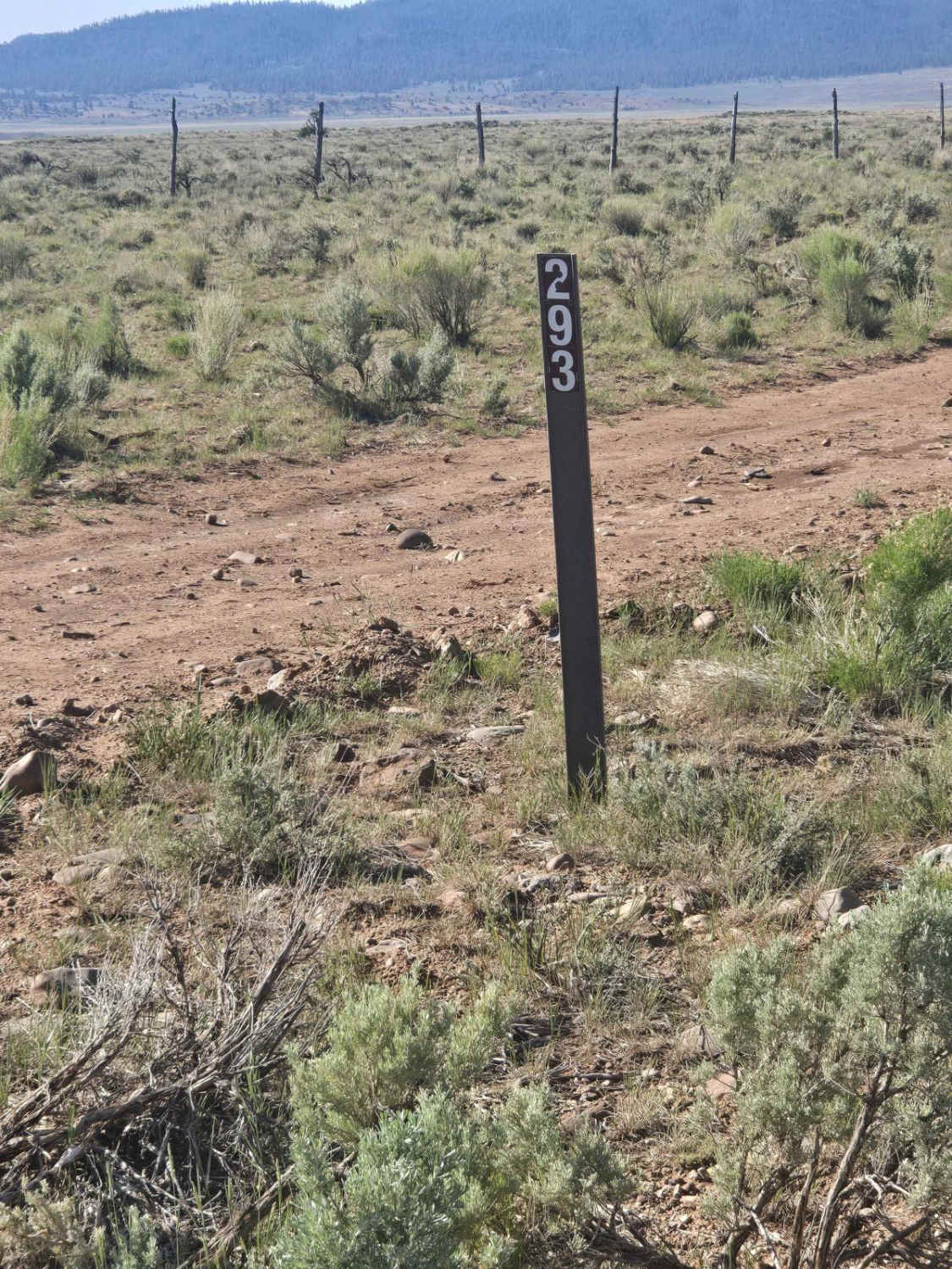
Gussie Draw Trail
Total Miles
11.5
Tech Rating
Easy
Best Time
Spring, Summer, Fall
Learn more about Guys Trail (North) 
Guys Trail (North)
Total Miles
4.5
Tech Rating
Easy
Best Time
Spring, Fall, Winter
Learn more about Guys Trail (South) 
Guys Trail (South)
Total Miles
4.7
Tech Rating
Moderate
Best Time
Spring, Winter, Fall
Learn more about Guys Trail (West) 
Guys Trail (West)
Total Miles
1.8
Tech Rating
Easy
Best Time
Spring, Winter, Fall
Learn more about Gwt Strawberry Ridge ATV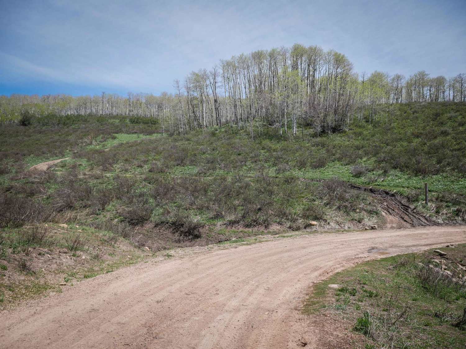
Gwt Strawberry Ridge ATV
Total Miles
4.9
Tech Rating
Easy
Best Time
Spring, Summer, Fall
Learn more about Gypsum Sinkhole
Gypsum Sinkhole
Total Miles
1.0
Tech Rating
Easy
Best Time
Fall, Summer, Spring
Learn more about Halfway Hollow Road - Uintah County 2230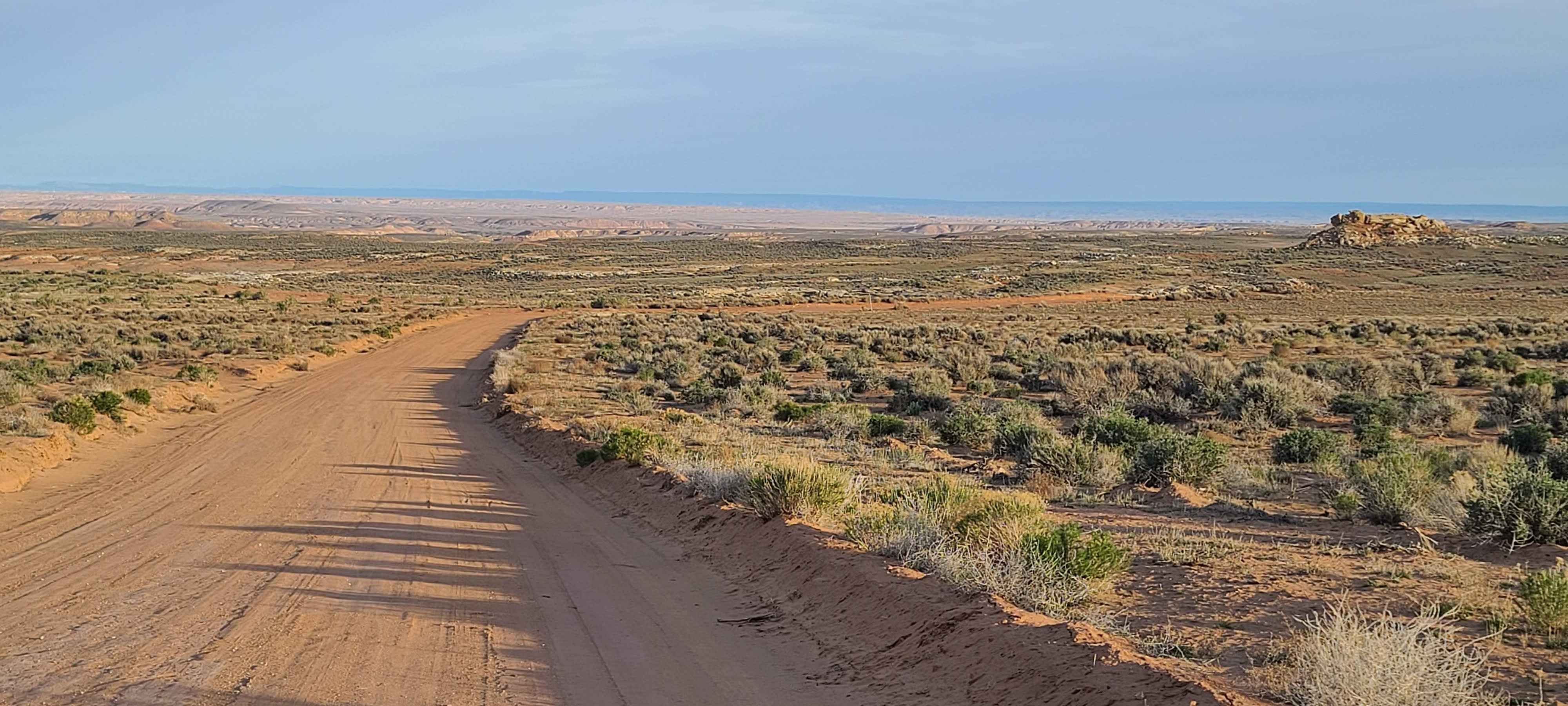
Halfway Hollow Road - Uintah County 2230
Total Miles
8.6
Tech Rating
Easy
Best Time
Spring, Summer, Fall, Winter
Learn more about Hamburger Rocks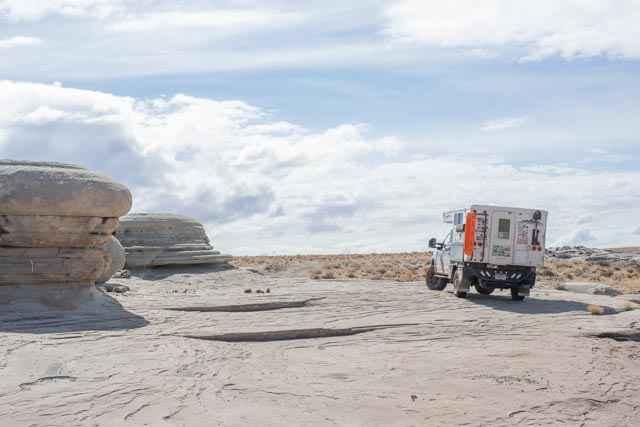
Hamburger Rocks
Total Miles
3.5
Tech Rating
Easy
Best Time
Spring, Summer, Fall, Winter
Learn more about Hamburgler - BLM D1453/D1455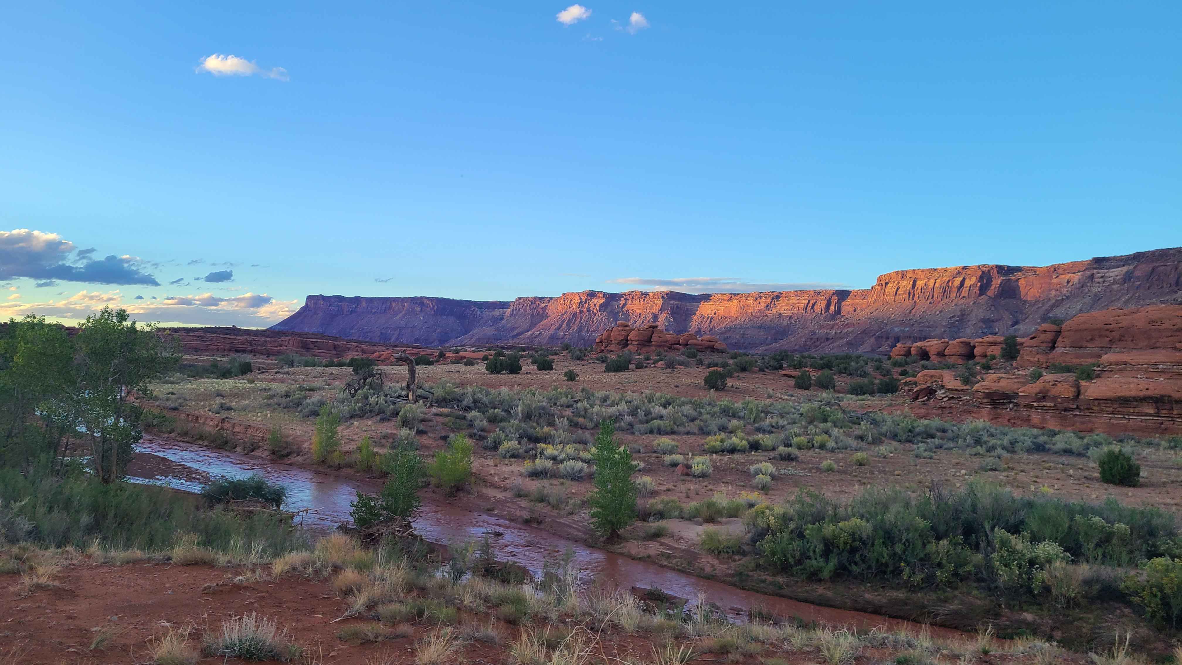
Hamburgler - BLM D1453/D1455
Total Miles
1.5
Tech Rating
Easy
Best Time
Spring, Fall
Learn more about Hanging Boulder Trail
Hanging Boulder Trail
Total Miles
1.2
Tech Rating
Easy
Best Time
Spring, Summer, Fall, Winter
Learn more about Hanni Mine Road - BLM 1020
Hanni Mine Road - BLM 1020
Total Miles
1.0
Tech Rating
Easy
Best Time
Spring, Summer, Fall, Winter
Learn more about Hansen Creek-BLM13390
Hansen Creek-BLM13390
Total Miles
7.6
Tech Rating
Easy
Best Time
Spring, Fall, Winter, Summer
Learn more about Hardware Ranch to Bear Lake
Hardware Ranch to Bear Lake
Total Miles
36.4
Tech Rating
Easy
Best Time
Spring, Summer
Learn more about Harmon Trail
Harmon Trail
Total Miles
4.7
Tech Rating
Moderate
Best Time
Spring, Summer, Fall
Learn more about Harris Mountain-BLM28-KC1400
Harris Mountain-BLM28-KC1400
Total Miles
3.9
Tech Rating
Easy
Best Time
Spring, Summer, Fall, Winter
Learn more about Harris Rim Loop Connector
Harris Rim Loop Connector
Total Miles
1.3
Tech Rating
Moderate
Best Time
Fall, Summer
Learn more about Hartnett/Cathedral Connector
Hartnett/Cathedral Connector
Total Miles
5.3
Tech Rating
Easy
Best Time
Spring, Summer, Fall, Winter
Learn more about Hastings Cut Off to Dell
Hastings Cut Off to Dell
Total Miles
13.3
Tech Rating
Easy
Best Time
Spring, Summer, Fall, Winter
ATV trails in Utah

Learn more about 14 Mile Road
14 Mile Road
Total Miles
14.7
Tech Rating
Easy
Best Time
Spring, Summer, Fall, Winter


UTV/side-by-side trails in Utah
Learn more about 14 Mile Road
14 Mile Road
Total Miles
14.7
Tech Rating
Easy
Best Time
Spring, Summer, Fall, Winter
The onX Offroad Difference
onX Offroad combines trail photos, descriptions, difficulty ratings, width restrictions, seasonality, and more in a user-friendly interface. Available on all devices, with offline access and full compatibility with CarPlay and Android Auto. Discover what you’re missing today!