Harris Rim Loop Connector
Total Miles
1.3
Technical Rating
Best Time
Fall, Summer
Trail Type
60" Trail
Accessible By
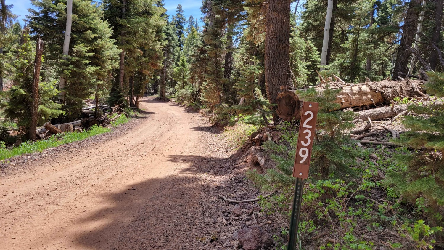
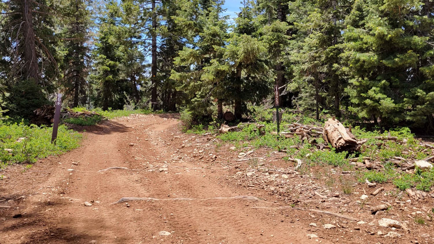
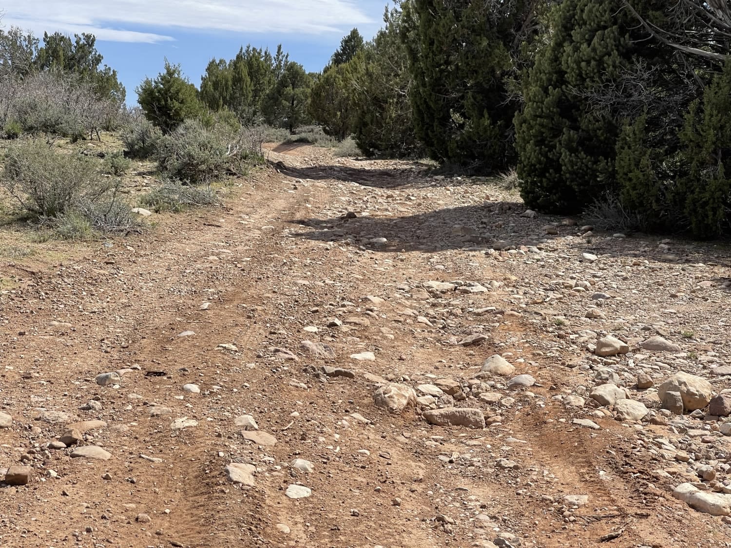
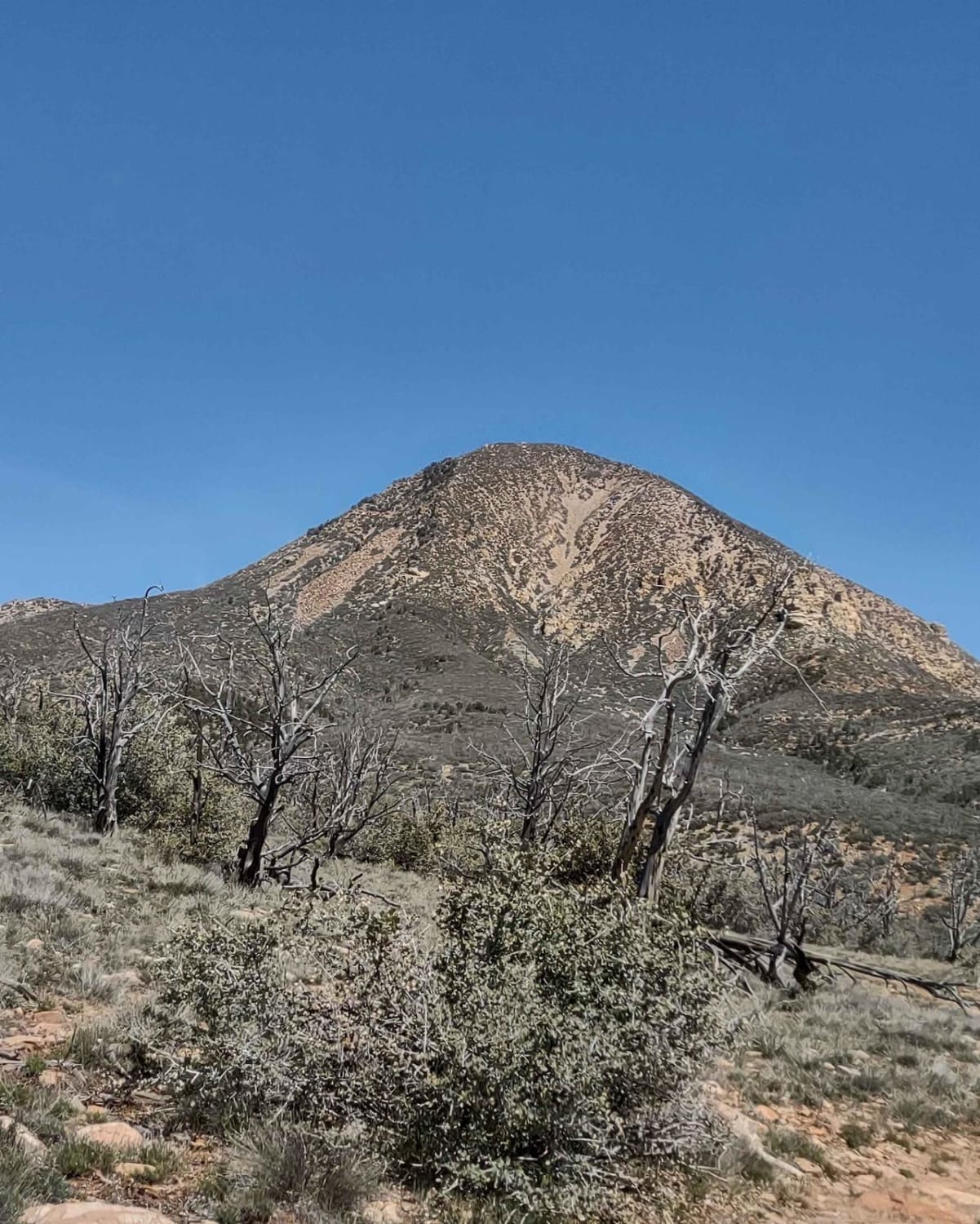
Trail Overview
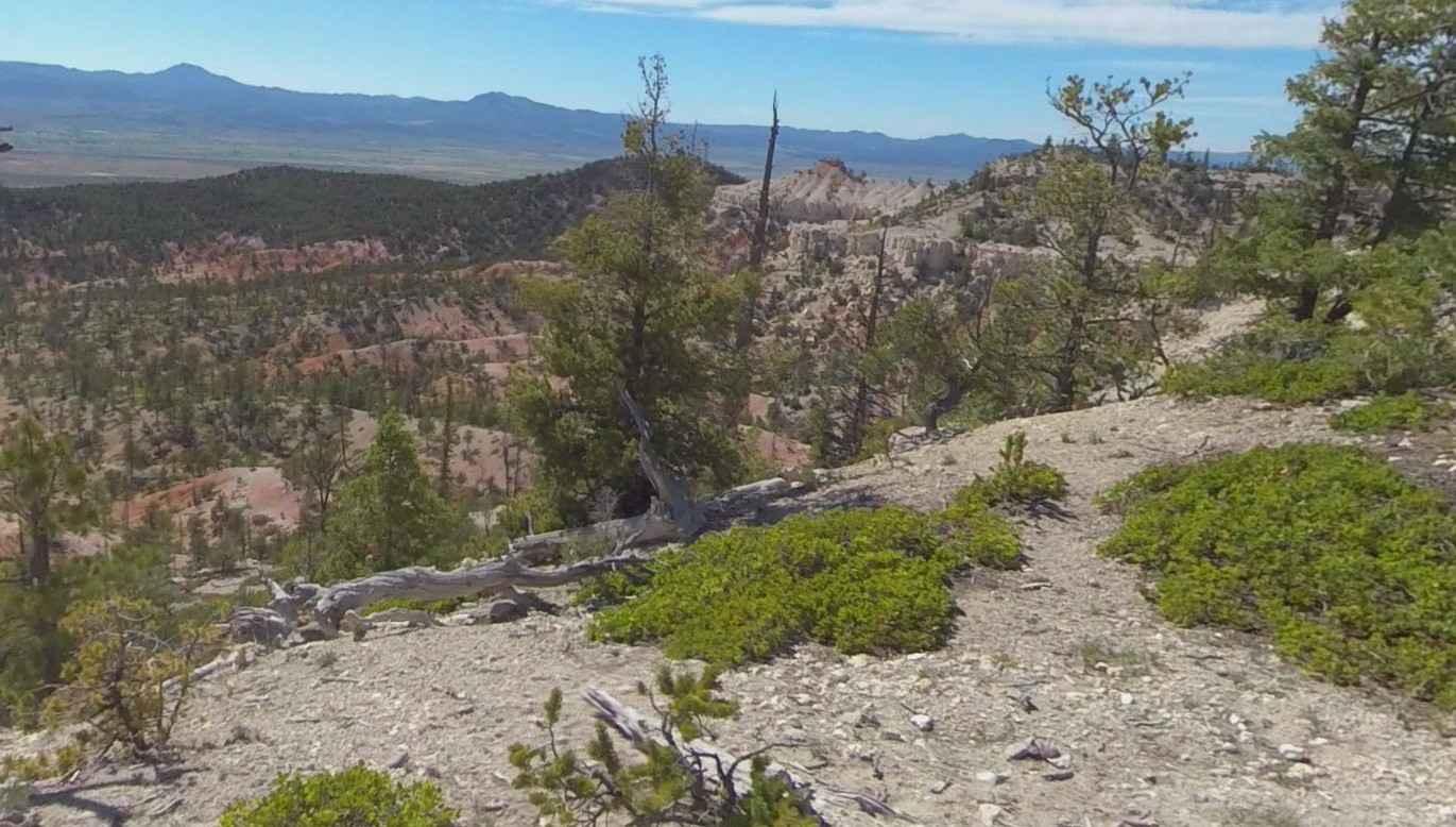
This brief 1.5-mile trail connects Strawberry Ridge and Swains Creek. The entire trail is a hill climb/descent, depending on which direction you take it. North to South is descending; South to North is ascending. There are a few large rocky patches, loose rocks, and erosion spots on the trail. Beautiful overlooking views of the surrounding forest. Trail #6 of the Markagunt OHV System.
Photos of Harris Rim Loop Connector
Difficulty
There are a few large rocky patches, loose rocks and erosion spots on trail.
Status Reports
Harris Rim Loop Connector can be accessed by the following ride types:
- SxS (60")
- ATV (50")
- Dirt Bike
Harris Rim Loop Connector Map
Popular Trails
Juniper Ridge

Billy Goat Byway to Jackson Peak
Peterson Point-NFR30697
The onX Offroad Difference
onX Offroad combines trail photos, descriptions, difficulty ratings, width restrictions, seasonality, and more in a user-friendly interface. Available on all devices, with offline access and full compatibility with CarPlay and Android Auto. Discover what you’re missing today!