Gypsum Sinkhole
Total Miles
1.0
Technical Rating
Best Time
Fall, Summer, Spring
Trail Type
Full-Width Road
Accessible By
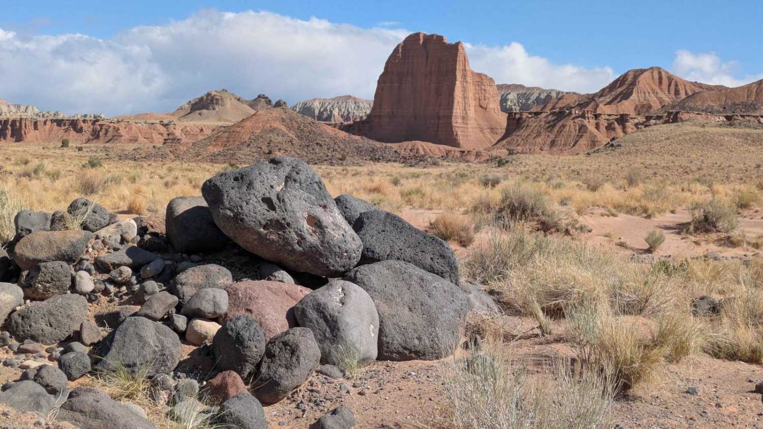
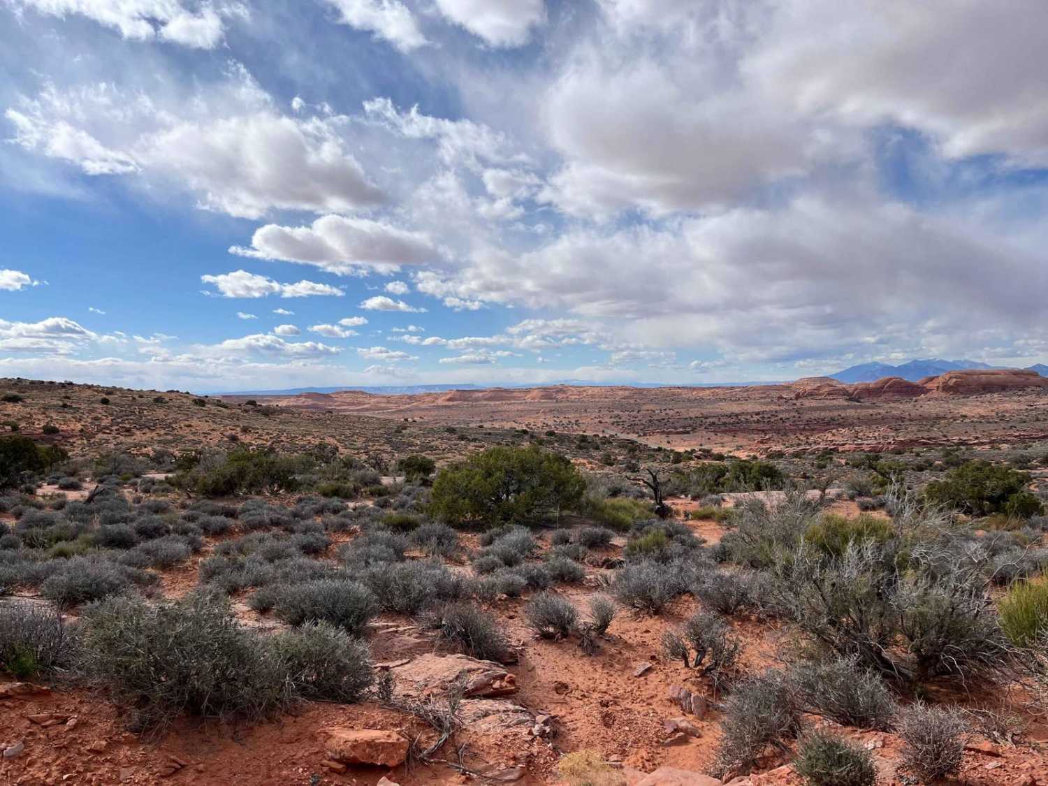
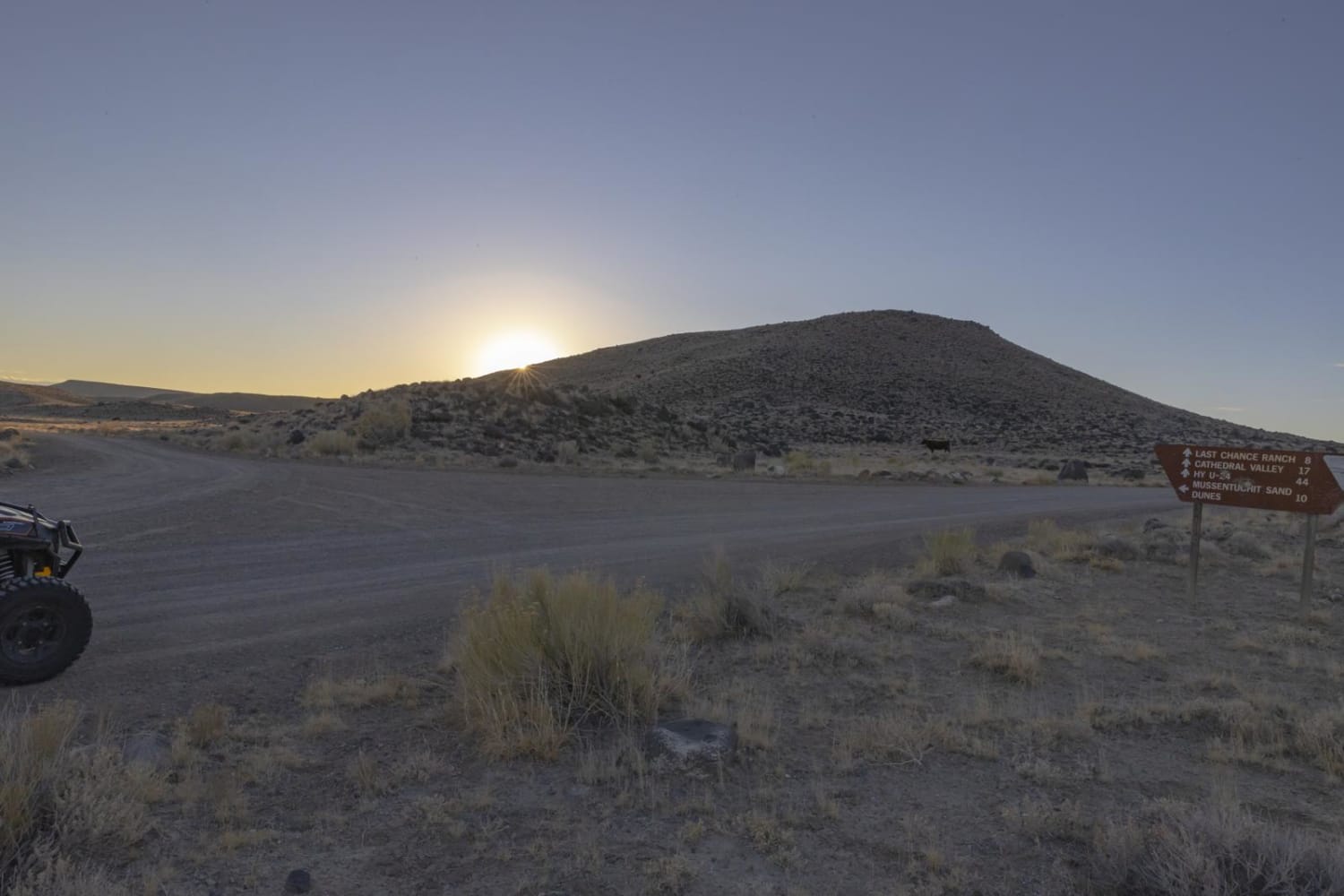
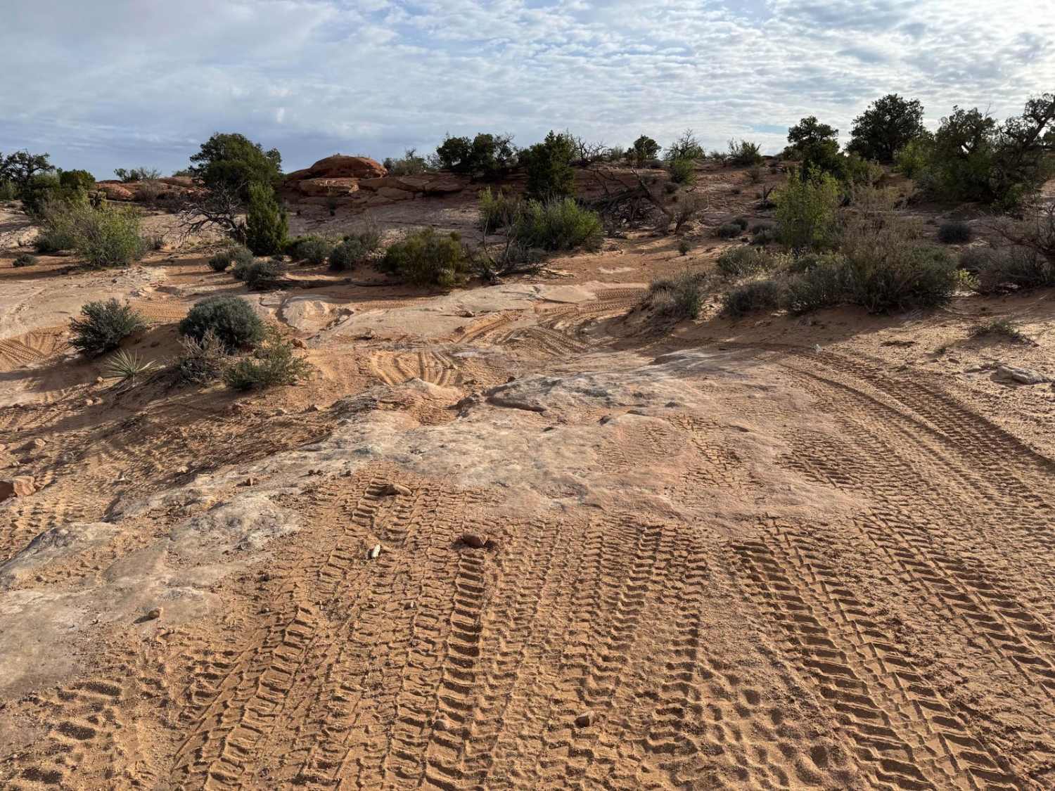
Trail Overview
Gypsum Sinkhole is a short and scenic 2-mile out-and-back route that delivers big visual payoff with minimal effort. This mostly graded trail winds gently through open terrain before revealing towering red rock formations that frame the landscape with dramatic beauty. At the end of the route, a short walk takes you into a secluded canyon where a natural sinkhole awaits--a unique geological feature tucked into this quiet corner. There's a simple turnaround at the end, making this an easy detour or standalone stop for a relaxing ride and great photo opportunities.
Photos of Gypsum Sinkhole

Difficulty
Well-maintained most of the year and suitable for stock high-clearance vehicles. Great for beginners or as a mellow add-on to nearby trails.
History
The Gypsum Sinkhole in Capitol Reef National Park formed due to the dissolution of a buried gypsum plug by groundwater. This process created a large sinkhole, nearly 50 feet in diameter and 200 feet deep. The gypsum, a soluble mineral, was deposited from evaporating seawater around 165 million years ago, during the Middle Jurassic period, according to the Utah Geological Survey. The Laramide Orogeny, a mountain-building event between 50 and 70 million years ago, reactivated an ancient fault, which contributed to the dissolving of the gypsum.
Status Reports
Gypsum Sinkhole can be accessed by the following ride types:
- High-Clearance 4x4
- SUV
Gypsum Sinkhole Map
Popular Trails

Clay Point South-BLM13225
Lower Last Chance Loop Road
The onX Offroad Difference
onX Offroad combines trail photos, descriptions, difficulty ratings, width restrictions, seasonality, and more in a user-friendly interface. Available on all devices, with offline access and full compatibility with CarPlay and Android Auto. Discover what you’re missing today!