Off-Road Trails in Utah
Discover off-road trails in Utah
Learn more about Hog Canyon 6 - Savage Point (BLM HC6/6A) 
Hog Canyon 6 - Savage Point (BLM HC6/6A)
Total Miles
3.3
Tech Rating
Moderate
Best Time
Spring, Fall, Summer
Learn more about Hog Canyon 7 - Toms Canyon (BLM HC7) 
Hog Canyon 7 - Toms Canyon (BLM HC7)
Total Miles
1.6
Tech Rating
Extreme
Best Time
Spring, Summer, Fall
Learn more about Hog Canyon Overlook (101D/103)
Hog Canyon Overlook (101D/103)
Total Miles
8.3
Tech Rating
Easy
Best Time
Spring, Summer, Fall
Learn more about Hog Slant Rock Climb
Hog Slant Rock Climb
Total Miles
0.5
Tech Rating
Moderate
Best Time
Spring, Summer, Fall
Learn more about Hogs Back - FR 70094
Hogs Back - FR 70094
Total Miles
6.3
Tech Rating
Easy
Best Time
Summer, Fall
Learn more about Hogup Finger Road
Hogup Finger Road
Total Miles
5.4
Tech Rating
Easy
Best Time
Spring, Summer, Fall
Learn more about Hole in the Rock
Hole in the Rock
Total Miles
14.3
Tech Rating
Moderate
Best Time
Spring, Summer, Fall
Learn more about Hole In The Rock Road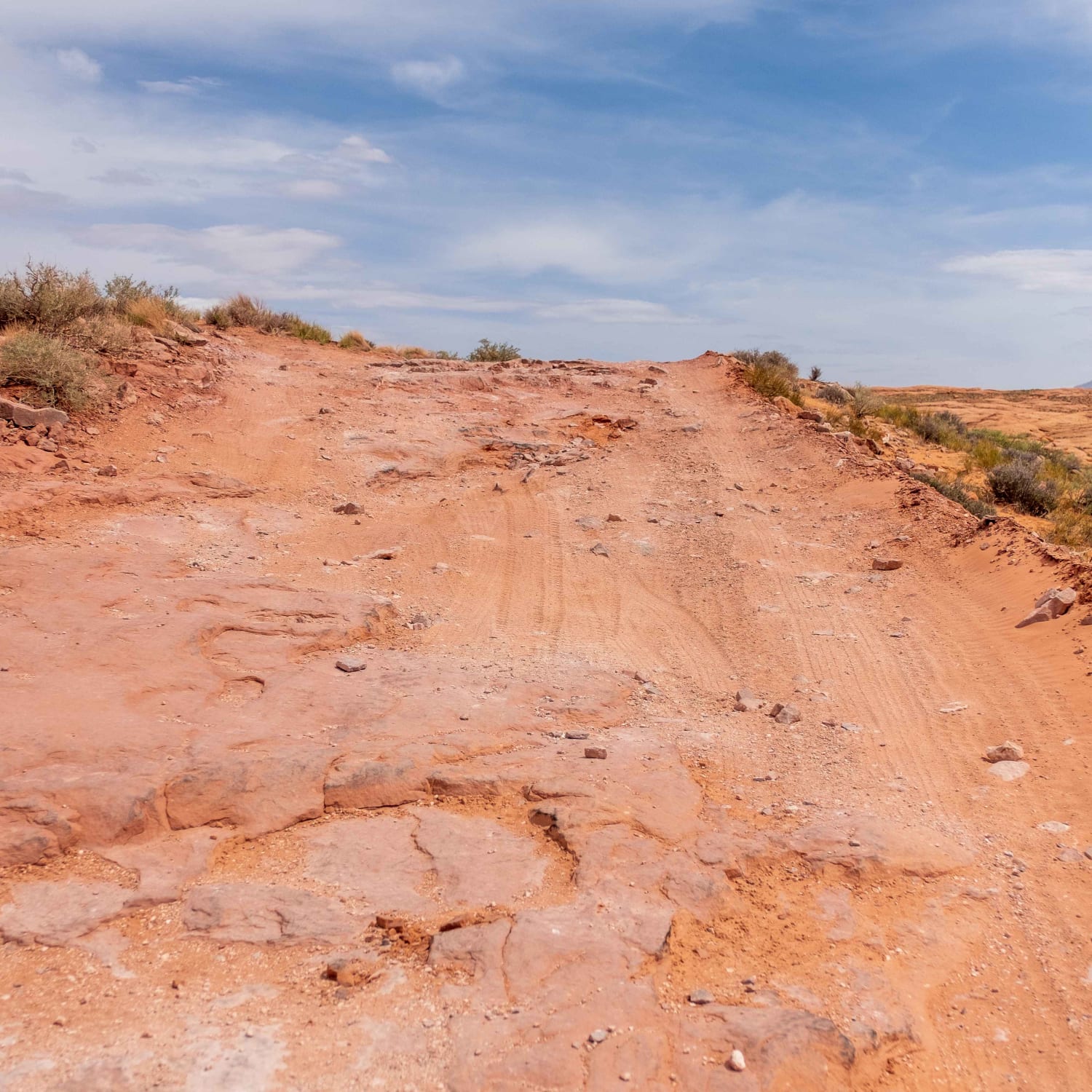
Hole In The Rock Road
Total Miles
56.1
Tech Rating
Easy
Best Time
Spring, Summer, Fall, Winter
Learn more about Hole in the Rock Site - CR 4123
Hole in the Rock Site - CR 4123
Total Miles
5.6
Tech Rating
Easy
Best Time
Spring, Summer, Fall, Winter
Learn more about Hollow Washington Road
Hollow Washington Road
Total Miles
8.4
Tech Rating
Easy
Best Time
Fall, Spring, Summer
Learn more about Holman Ridge-Cabin Flat (2172)
Holman Ridge-Cabin Flat (2172)
Total Miles
1.2
Tech Rating
Moderate
Best Time
Summer, Fall
Learn more about Holmes Creek Road (FR 260)
Holmes Creek Road (FR 260)
Total Miles
1.8
Tech Rating
Moderate
Best Time
Spring, Summer, Fall
Learn more about Homansville Pass Road
Homansville Pass Road
Total Miles
5.8
Tech Rating
Easy
Best Time
Summer, Spring, Fall
Learn more about Honeycomb Loop
Honeycomb Loop
Total Miles
3.5
Tech Rating
Easy
Best Time
Spring, Summer, Fall
Learn more about Hoodoo Trail (103Q) 
Hoodoo Trail (103Q)
Total Miles
4.4
Tech Rating
Easy
Best Time
Spring, Summer, Fall, Winter
Learn more about Hoodoos and High Voltage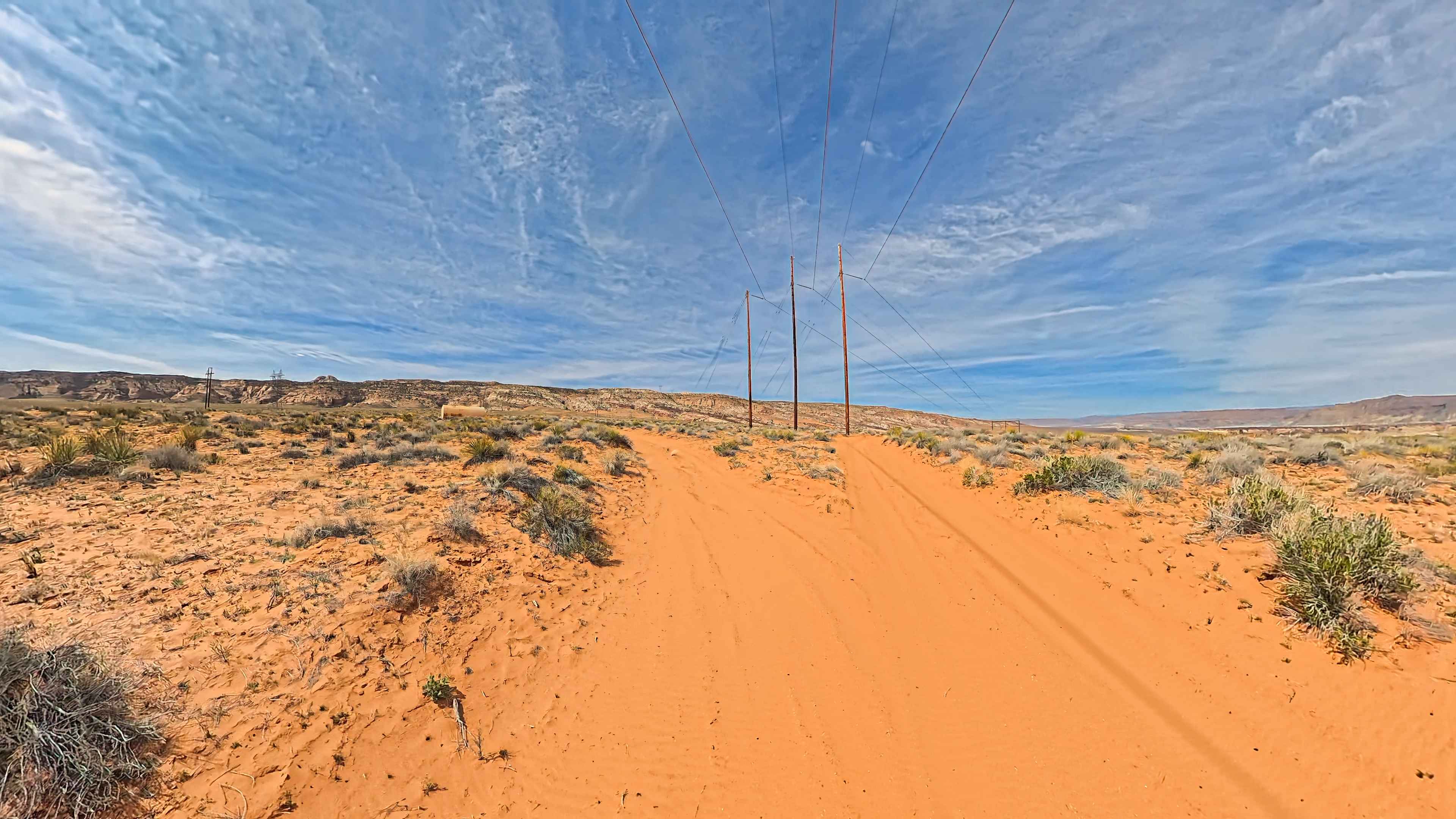
Hoodoos and High Voltage
Total Miles
5.6
Tech Rating
Easy
Best Time
Spring, Summer, Fall, Winter
Learn more about Horse Canyon Road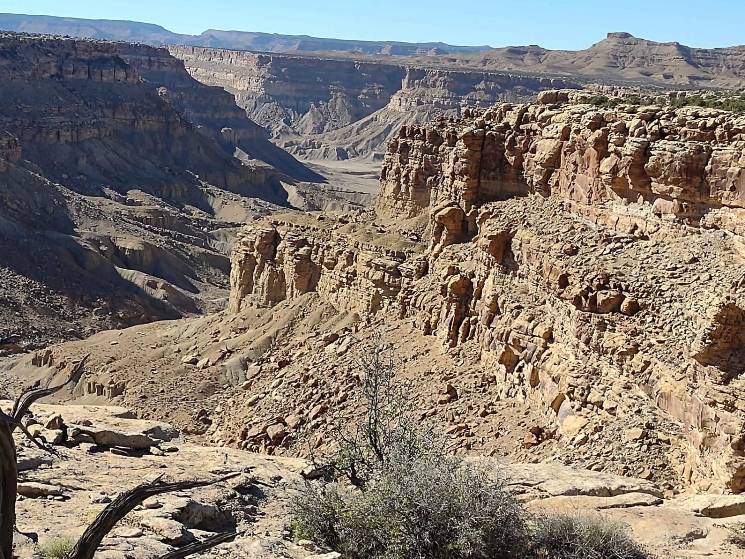
Horse Canyon Road
Total Miles
25.8
Tech Rating
Moderate
Best Time
Spring, Summer, Fall
Learn more about Horse Valley ATV Trail
Horse Valley ATV Trail
Total Miles
4.2
Tech Rating
Easy
Best Time
Fall, Summer, Spring
ATV trails in Utah

Learn more about 14 Mile Road
14 Mile Road
Total Miles
14.7
Tech Rating
Easy
Best Time
Spring, Summer, Fall, Winter


UTV/side-by-side trails in Utah
Learn more about 14 Mile Road
14 Mile Road
Total Miles
14.7
Tech Rating
Easy
Best Time
Spring, Summer, Fall, Winter
The onX Offroad Difference
onX Offroad combines trail photos, descriptions, difficulty ratings, width restrictions, seasonality, and more in a user-friendly interface. Available on all devices, with offline access and full compatibility with CarPlay and Android Auto. Discover what you’re missing today!